Langness

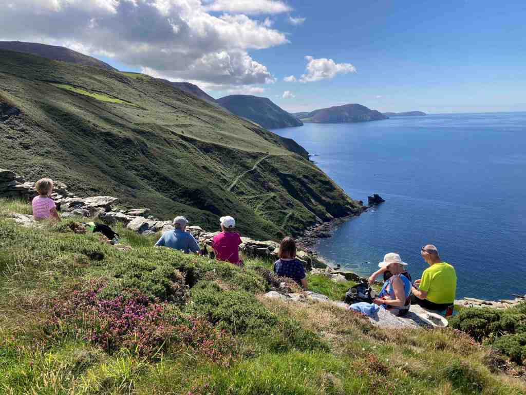
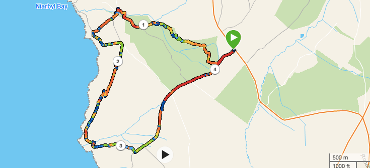
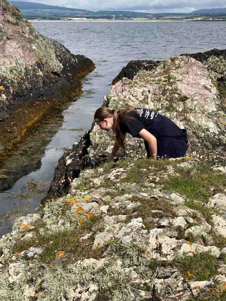
You know how writers and walkers all say that no two days are the same at the same location, well this is certainly true of this walk. Last week I was here with my grand-daughter, Emily, and the tide was satisfyingly in; yesterday, the tide was interestingly out, carving out a completely different landscape.

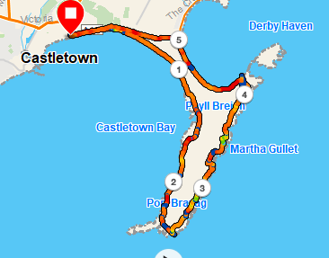
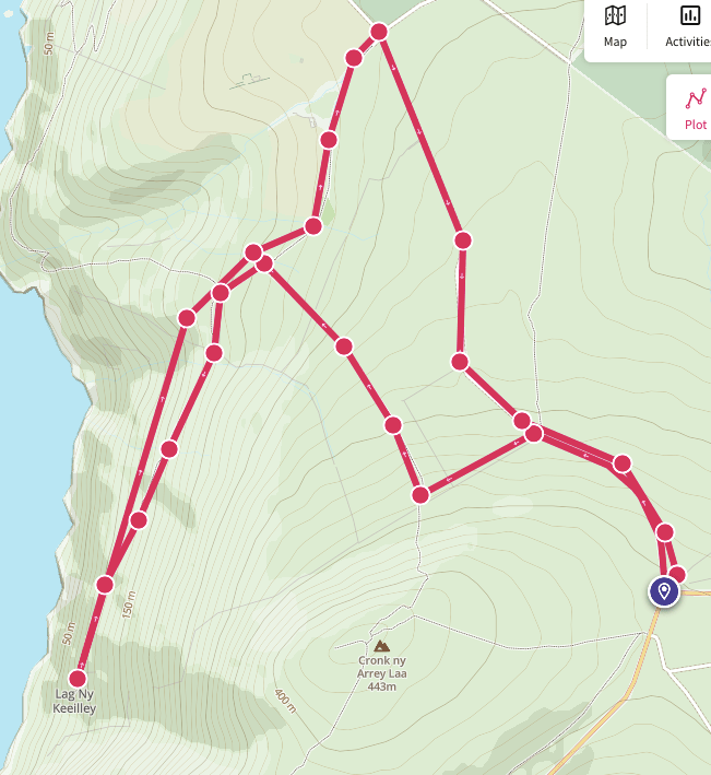
I was doing a recce for a walk from Castletown. If this is a walk you are planning to do, don’t take your car into the main streets and car parks of Castletown as there is only 2 hr parking. Instead, take the road to Derbyhaven and park either along the prom, or in one of the free car parks on just the other side of Hango Hill (above), opposite King William’s College. I had taken the train, so was walking from the station. However, I would recommend this walk to start at the first car park after Hango Hill. It is only a short distance back to explore this ancient monument before retracing your steps to start the walk.

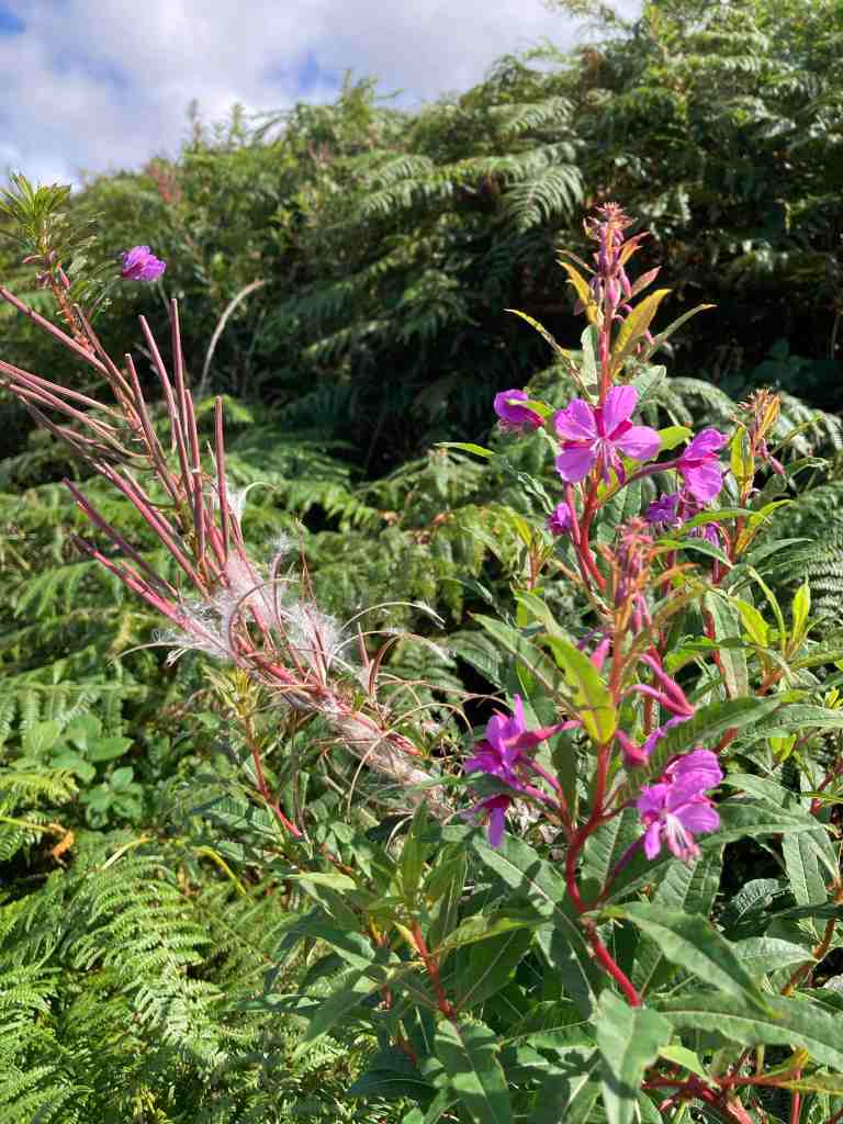
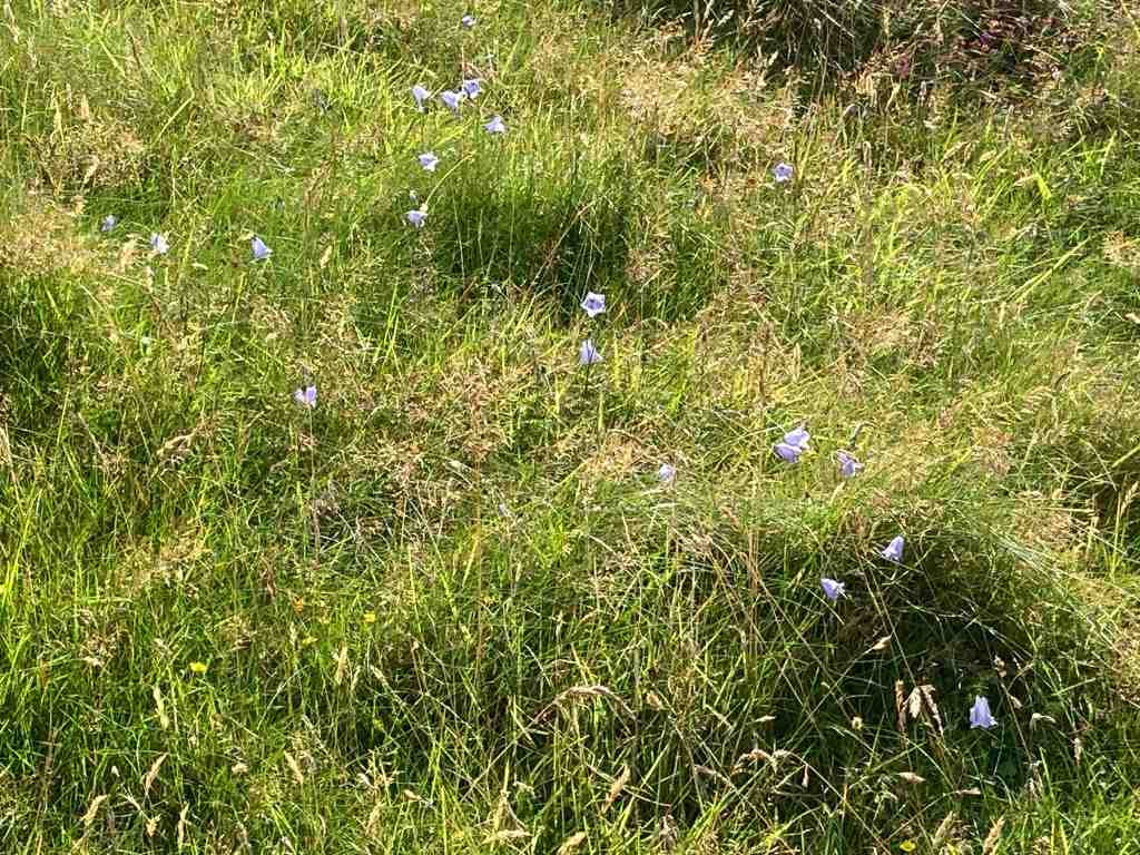
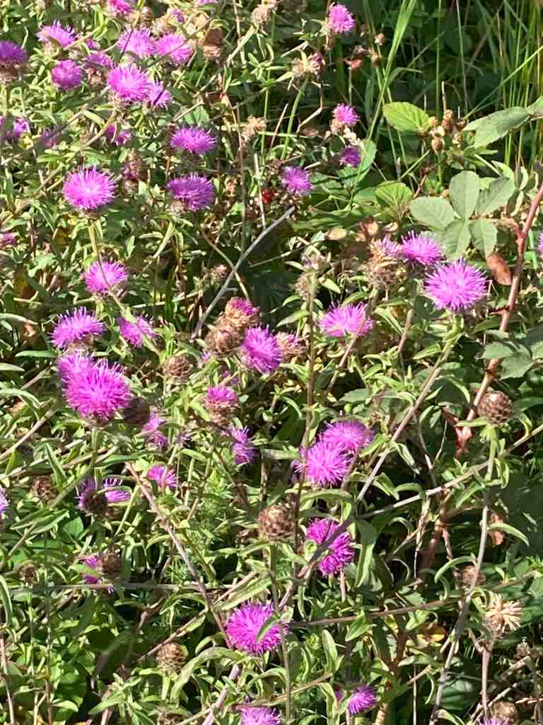
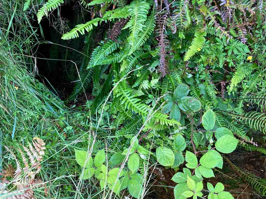
As you can see from the photographs, if the tide is out, you can walk along the beach. Even so, there is a grassy footpath from the car park which is good to follow. It bypasses Derbyhaven and the start of the golf course, making a more interesting start to the walk. There are a few pebbles on the path as these are constantly thrown up by the sea, but it is easy walking. Eventually you reach the small lane and you are obliged to walk along this most of its way, but no more than half a mile or so. It is very quiet and there is lots of vegetation, birds and butterflies to look out for. You will pass the stone bird water trough commemorating one of the island’s principal ornithologists and you will very likely see Egrets or Herons perching on the rocks around here.

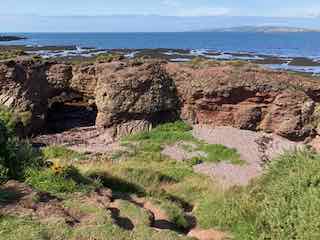
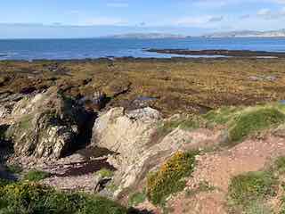
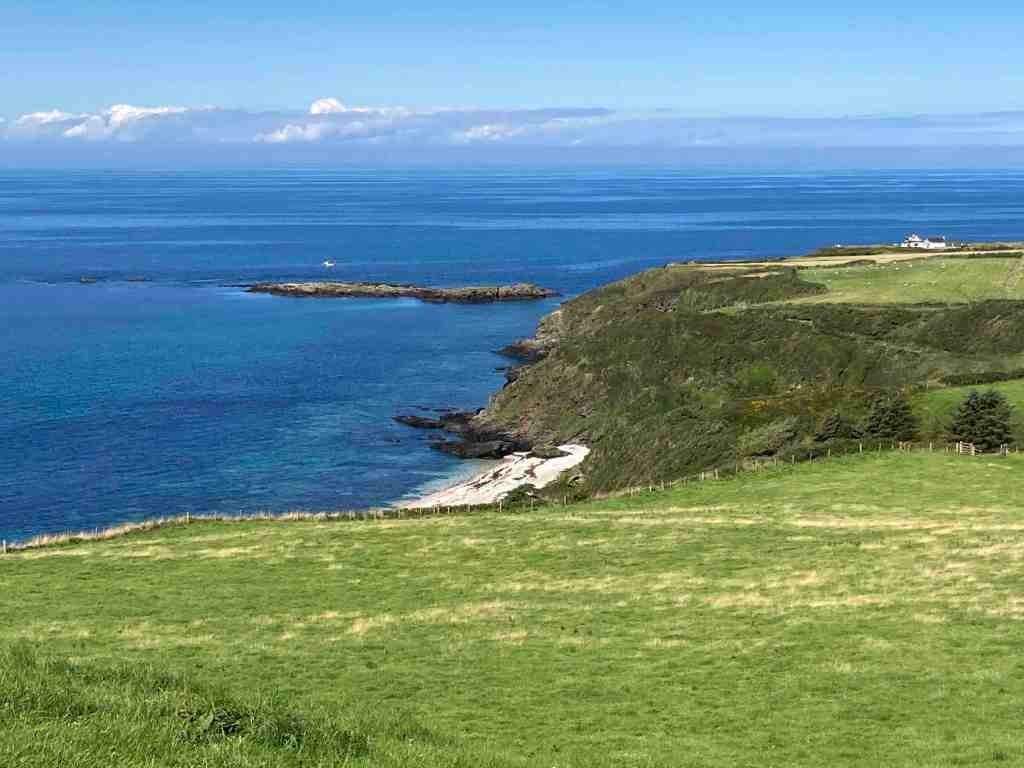
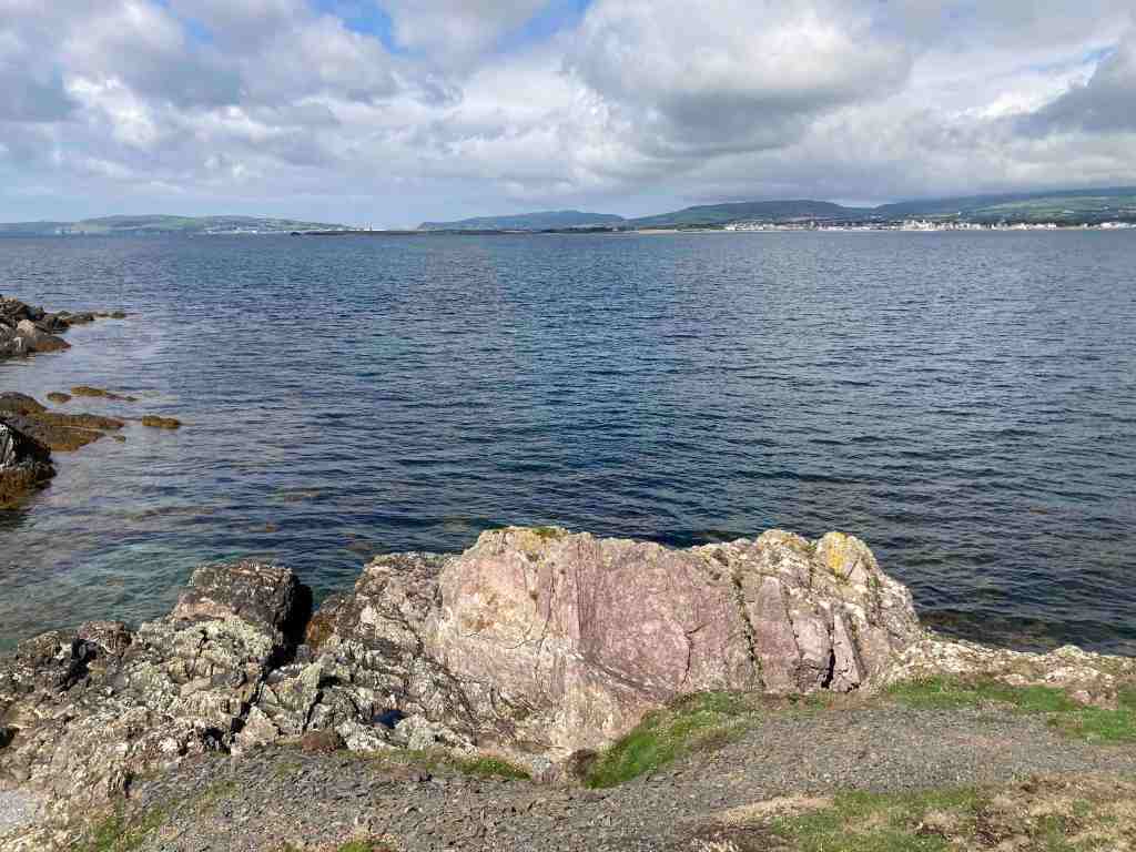
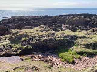
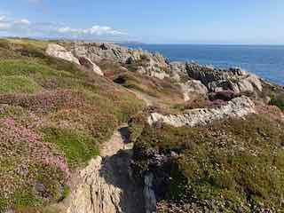
A little further along is the main car park for Langness and it is here where you enter the reserve itself, the paths taking you round the very tip of Langness. To your right, you will see strange rocks of conglomerate, arches looking as if they will collapse at any moment and notice areas of unconformity where millenia of rocks have miraculously disappeared. I am no geologist, but this area is described in many of our local books if you wish to find out more. If you are feeling adventurous you can scramble about on the rocks to the west as they dip and turn, but take care, not just of your footing, but make sure that you don’t get cut off by the tide, unless you want to join the shags and cormorants on the very last morsel of rock remaining at high tide!

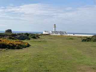
The path takes you around the lighthouse, where you can take a look at the old foghorn. This is the most southerly point on Langness. It is a good stopping point for lunch, which is exactly what I did yesterday. As I sat muching away I heard the lamenting sound of a seal and got out my opera glasses (yes I know, proper binoculars would be so much better, but these fit into a side pocket). There they were, some lumbering about on the rocks, others swimming in the sea. As I continued on the eastern side of Langness there were even more seals. They do seem very big this year.

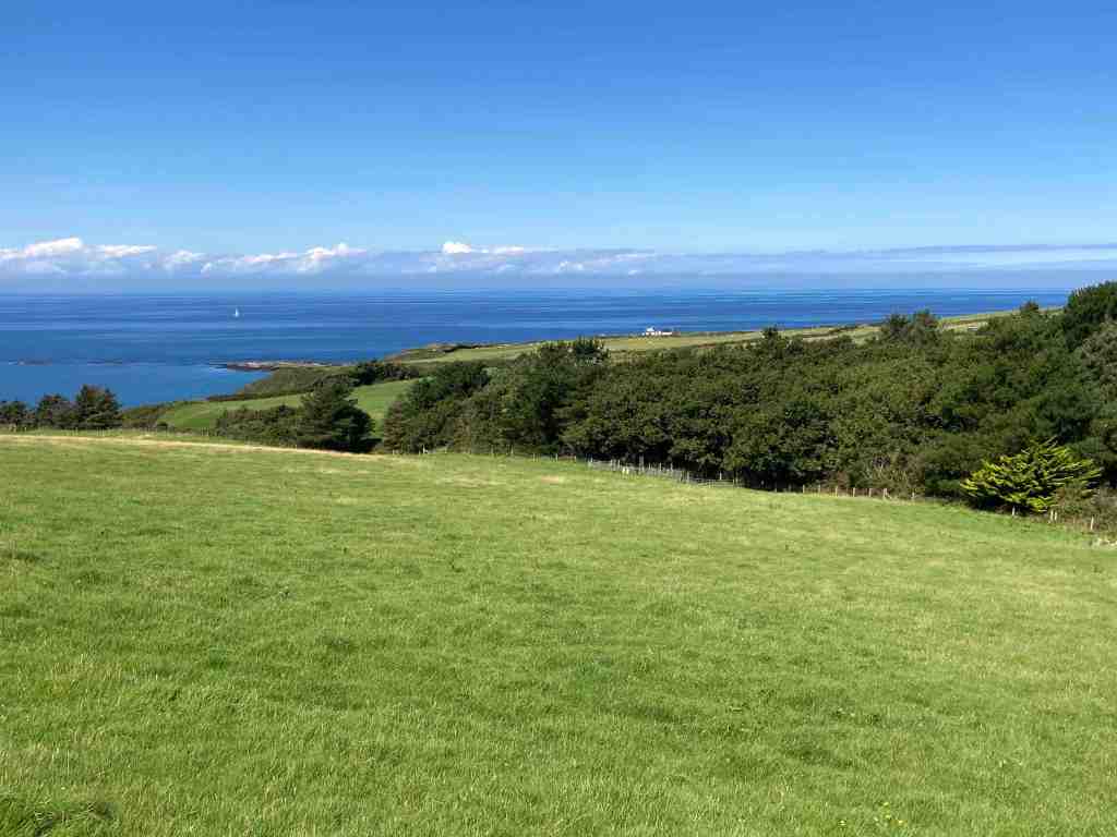
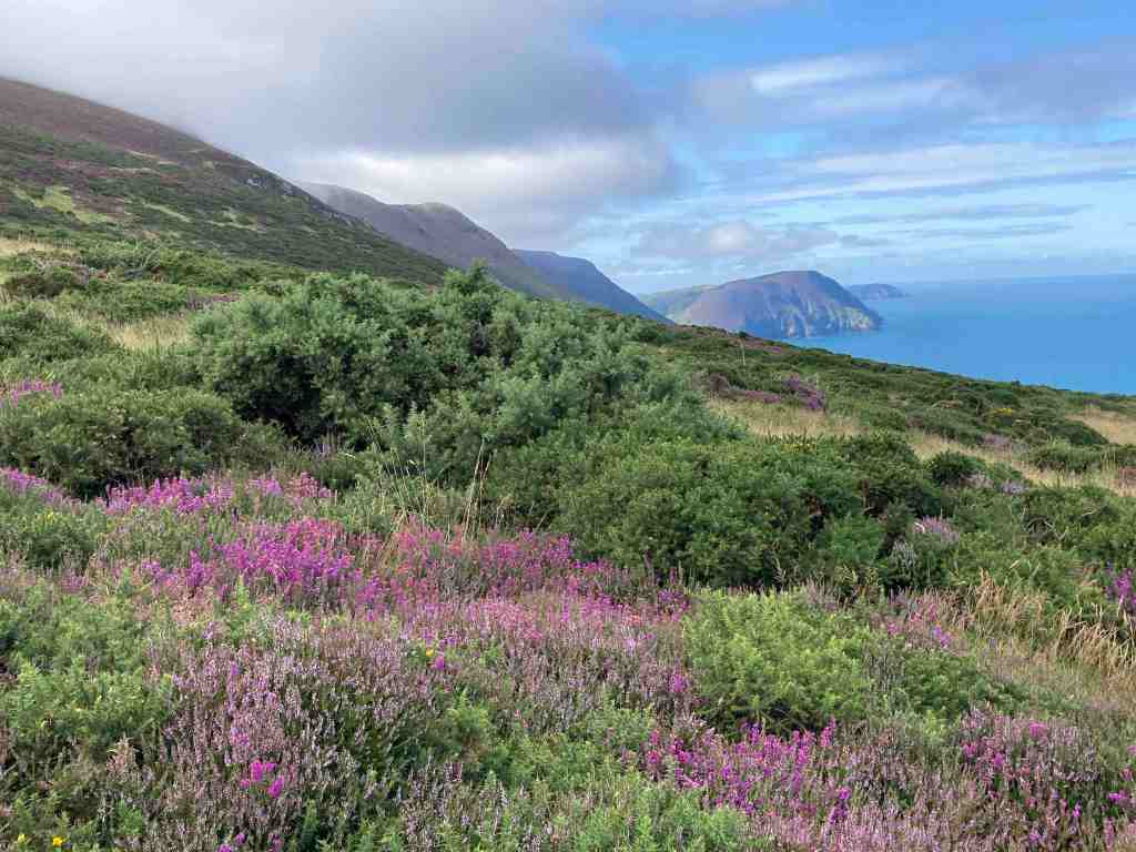
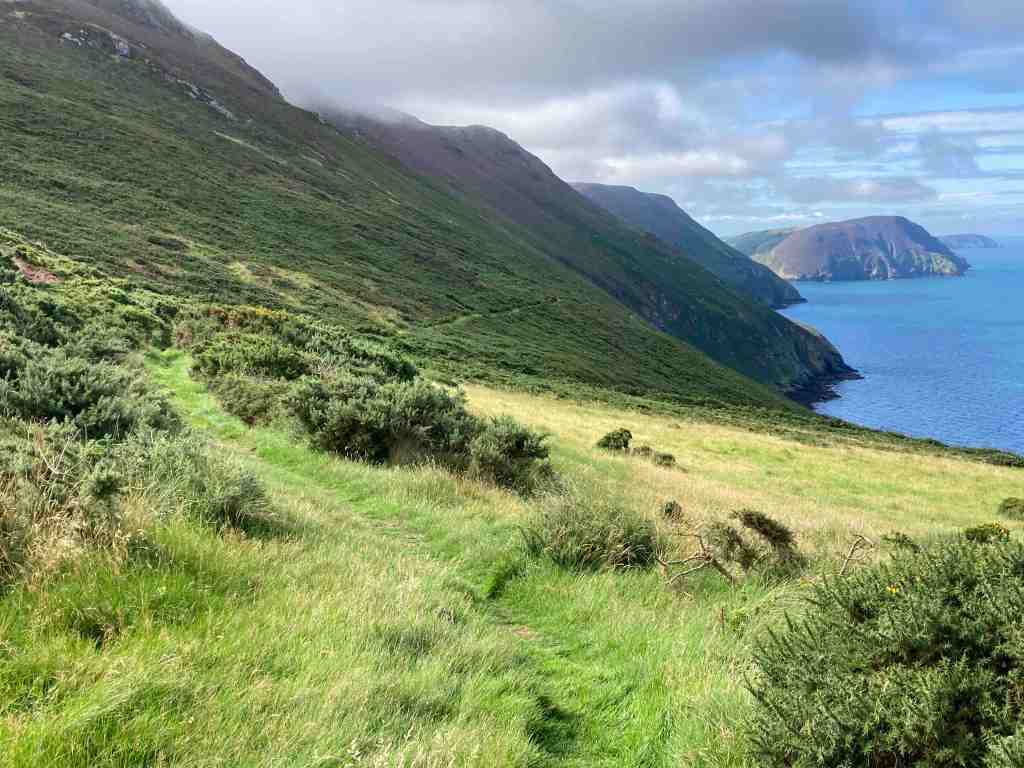
The eastern side has a different feel to the western side. The terrain is soft underfoot with more varied rocks landward and more gullies with sharp upright rocks on the seaward side. There is gorse and heather setting off the herring tower, and as you walk the mile or so towards the golf clubhouse you get amazing views of the range of hills all the way from Bradda Head to North Barrule. The path eventually goes onto the golf course itself, so keep towards the edge. There is plenty of room to walk beside the course rather than on it. However, to get to the clubhouse you do need to cross it for about 50 yards, so watch out for flying balls.

The golf club welcome visitors and the food is always tremendous so don’t be shy about calling in. The rest of the walk takes you around the glorious bay of Derbyhaven and then back along the road for about half a mile to the car park. There are few places like this on our island, and I thoroughly recommend it for a morning walk, a lunchtime walk, or an afternoon walk. Keep in mind, it can be very blowy as it is mostly flat with just a few humps and hollows. You will also be walking in a southerly direction so the sun can be a problem on the odd occasion it shows itself.

The total length of the walk from the Hango Hill car park is about 5 miles.

Kerroodhoo Plantation, Barrane, Eary Cushlin

This is one of my favourite walks. It has such variety and breath-taking views. We began by walking through the Kerroodhoo plantation, which is a very pleasant path, keeping ourselves in the dappled shade as we made our way downhill. There were a couple of obstacles, such as steeply dropping paths and streams to cross but nothing too daunting. Towards the bottom end of the plantation a new woodland of deciduous trees is being created whilst the everygreen Norway Spruces are being removed as part of a community measure to improve the environment. The idea is to create more diversity and provide better habitats for three b’s – birds, bees and butterflies. New trees being planted include Birch, Oak, Alder, Hazel and Ash, all native trees that have been grown locally. It will be interesting to watch this develop in future years.

Reaching Barrane and its chattering ford, we soon found ourselves crossing over meadows strewn with flowers to greet the footpath on the coast above Whitesands. Niarbyl lies in the distance and the white cafe stands aloft, although it has been closed as a cafe for a while and no-one knows when it is to reopen. The path southwards is not seemingly part of the coastal footpath route but is perfectly accessible and provides a super lunch spot where you can sit on rocks, watch the butterflies and listen to the birds circling overhead, all the time gazing wistfully into the distance at the towering cliffs of the southwestern part of the island.

After lunch we followed a grassy but uneven track with overgrown bracken for the next mile of so. In places, it is a little exposed as the cliffs fall away into the sea. We met a lady and her dog from Arnside who had never visited the island but was now smitten by it, as we all are. It was a little tricky crossing the swollen stream at Glion Mooar, and then we had our main uphill section of 300ft or so. We took it steadily, stopping to look at the wild flowers, or to admire the beautiful common blue butterflies that were darting here and there, or just stopping when we wanted a rest.

When we reached Eary Cushlin house a few of us were pleased to remove ourselves from that environment as we were being bitten by midges and such like. It was then a flat walk along the track back to the cars, but not before we stopped to admire the glorious heather on the Dalby Nature Reserve. We had had a wonderful day and enjoyed each other’s company. Distance: 4.25 miles, 935ft of ascent and descent.

Lag Ny Keeilley, Eary Cushlin

I ventured out on the first sunny day I could find to do a short recce of an optional extra I was intending to offer on our next U3A walk. Lag Ny Keeilley, the home of a long gone hermit was my destination, and I was starting from the ‘car park’ at Cronk Ny Arrey Laa. I don’t propose to give you a full breakdown of this walk as I shall write it up another time, with a better map and possibly an alternative end-section, but most of this walk is absolutely stunning, especially if you did it as I did, first thing in the morning, before other people have got out of bed.

Having said that, as I started walking down the lane, I bumped into a man with his grandson picking bilberries. There are heaps of bilberries on this island. I did pick a few myself just to check what they were like. I walked down until I reached the footpath sign leading into the Dalby Nature Reserve, only I turned left instead up and over a stile onto the moorland on the lower edge of Cronk Ny Arrey Laa. The light was wonderful and the wild flowers were in abundance, making this a joyous walk. I walked alongside the wall, slightly uphill, until I reached the path leading down from Cronk Ny Arrey Laa, and followed that to Eary Cushlin. This path is becoming worn in places so do take care.

The path to Lag ny Keilley goes to the left in a southerly direction skirting along the bottom seaward edge of Cronk Ny Arrey Laa. Ignore the footpath sign to the right unless you want to visit the waterfall and have a steep climb back up the hill! Our path continues for about 3/4 mile hugging the coastline. It is not particularly exposed but neither is it a particularly easy path. You need to be sure-footed as it is uneven in a number of places and there are gaps in the path on the seaward side, so you may lose your poles if you are not careful. But, it is passable with care, and if you do trip you will get a soft landing :-). It is also very wet in places, made worse by the constant rain we have had recently. There is a bench if you want to stop and enjoy the views, which are spectacular. I sent a Whatsapp to my children with a couple of photos, saying that people go on holiday to get views like these, and here they are on my doorstep.

There is also one rather large boulder you have to navigate, but otherwise it is a narrow packhorse track, going steadily downhill. Before you reach Lag Ny Keeilley, look out for the Holy Well, which no doubt kept the hermit going with a constant supply of fresh water. I didn’t go down to the site itself, but I did take a photo. It looks rather uninspiring from a distance, but it is interesting when you get there, and imagine the life that was lived here, and the visitors it has seen. You can learn more about the site here : https://culturevannin.im/exploremore/places/lag-ny-keeilley-717214/ and here: http://early-med.archeurope.com/british-isles/the-celtic-church/lag-ny-keeilley/

It is a steady climb back to Eary Cushlin. The remaining section is on a stony road up the hill. Altogether this was a 4 mile walk, with 1000ft of ascent, which completely surprises me. I have checked the ascent on a couple of maps and it appears to be correct, but it is not at all difficult.

I shall not include this on my next U3A walk but instead I shall offer it as a separate walk sometime in the future, and maybe include Dalby Nature Reserve which will make it an even more interesting walk.

Below are some examples of the uneven path:

Update: Monday 7th August – found a tick embedded in my leg this morning, despite being fully covered from head to foot during yesterday’s walk. Am awaiting advice from dr as previously I became very ill following a tick bite. So, do be careful if out around bracken this summer. These tiny pesky creatures sit atop grasses and such like looking for passing prey. If you do find one on you, use a tick remover and seek advice sooner rather than later.