Matlock to Matlock Bath Circular

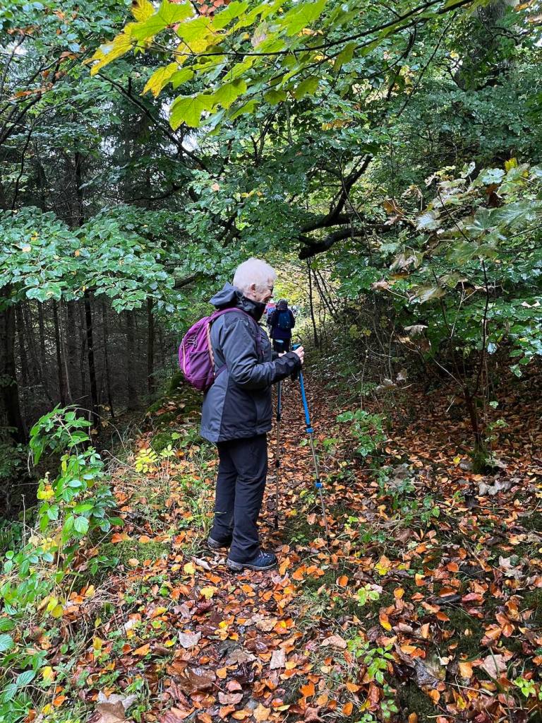
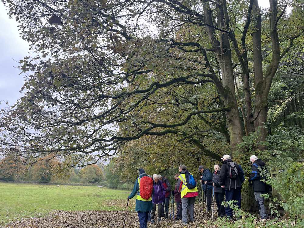
My intention was to have a gentle stroll in a southerly direction along the river Derwent as it was a lovely sunny day, with gloomy forecasts for the next few days. Those of you who know me won’t be surprised to learn that it became more of a hike, taking in paths I hadn’t been on before.

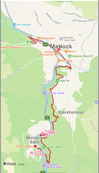
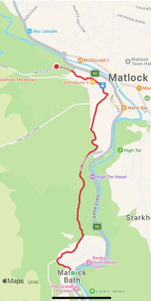
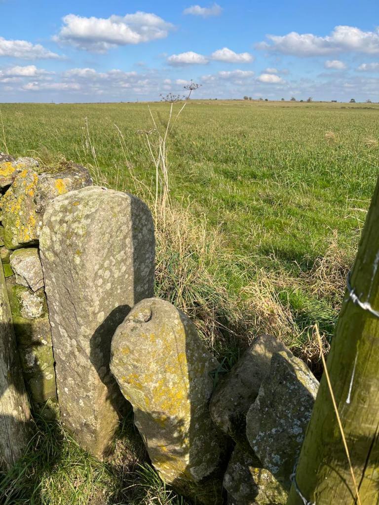
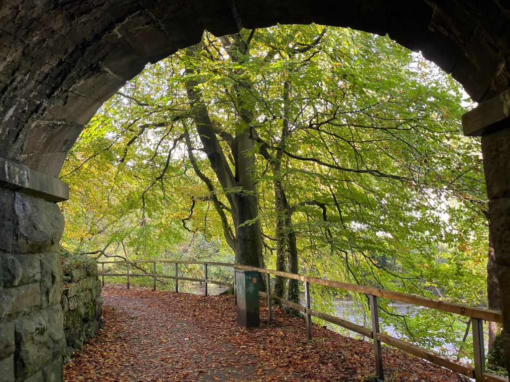
I began by walking down by the river into Matlock and doing a few chores. Then I had a pleasant stroll through Hall Leys Park and Knowleston Gardens. The autumn leaves are stunning right now and I stopped many times to admire the views. I couldn’t stop myself from trying out the odd footpath but these mostly ended at a dead end and a shaft entrance to the former lead workings. So, I carried on around the bends until I saw a footpath sign to High Tor. This hadn’t been on my agenda, but the thought of walking along the noisy A6 really was not appealing.

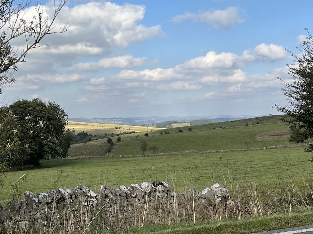
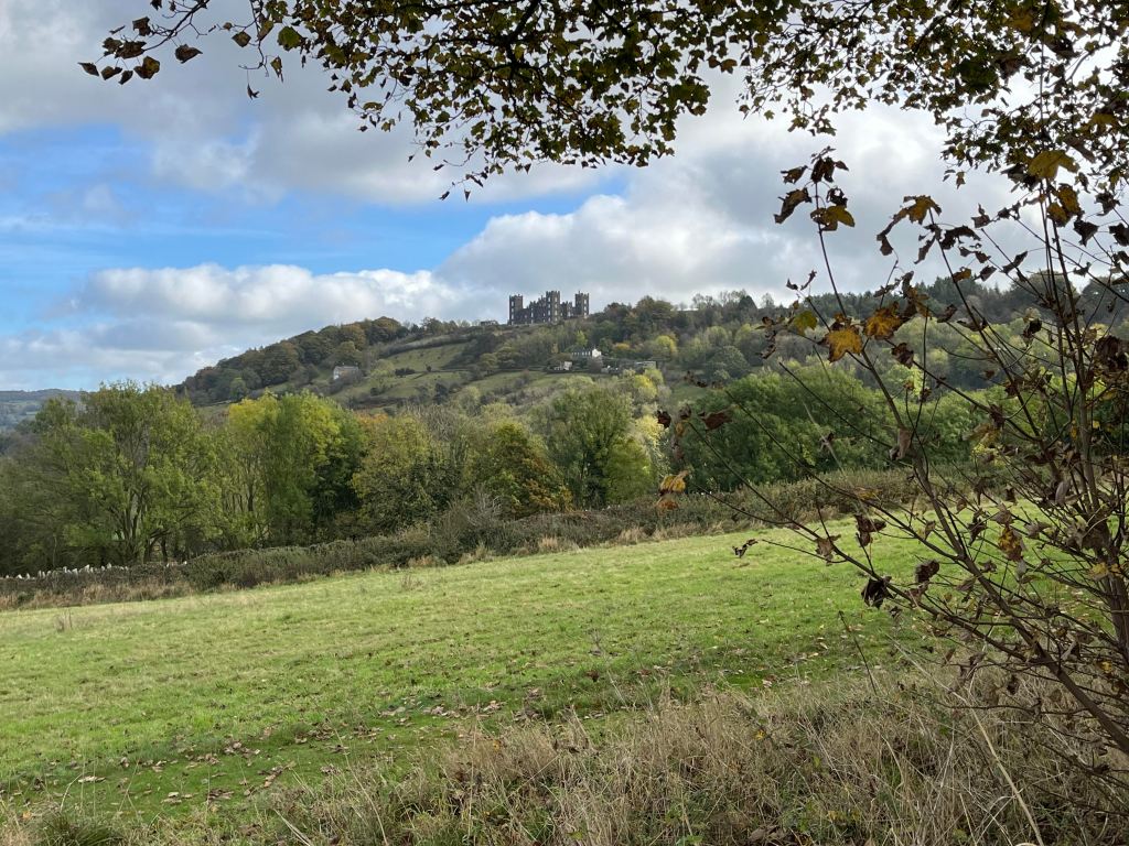
So, I headed off uphill towards Starkholmes and took a clear footpath to the right that I would follow all the way to High Tor, getting glimpses into the beautiful, if noisy valley every now and again. The views to the left of Riber Castle were excellent. Once at High Tor, I took a path marked ‘Caution’ and ‘Viewpoint’. The cautionary notice is that there is a significant drop off the cliff to the right and only a narrow path to walk along. Someone has very kindly fitted a handrail in certain parts to avoid obvious mishaps. This I realised is known as ‘Giddy Edge’. It is easily passable with care, but certainly care is needed for a short distance before the path enters the woods. From here, it is a steady descent all the way down to the cable car entrance for the Heights of Abraham.

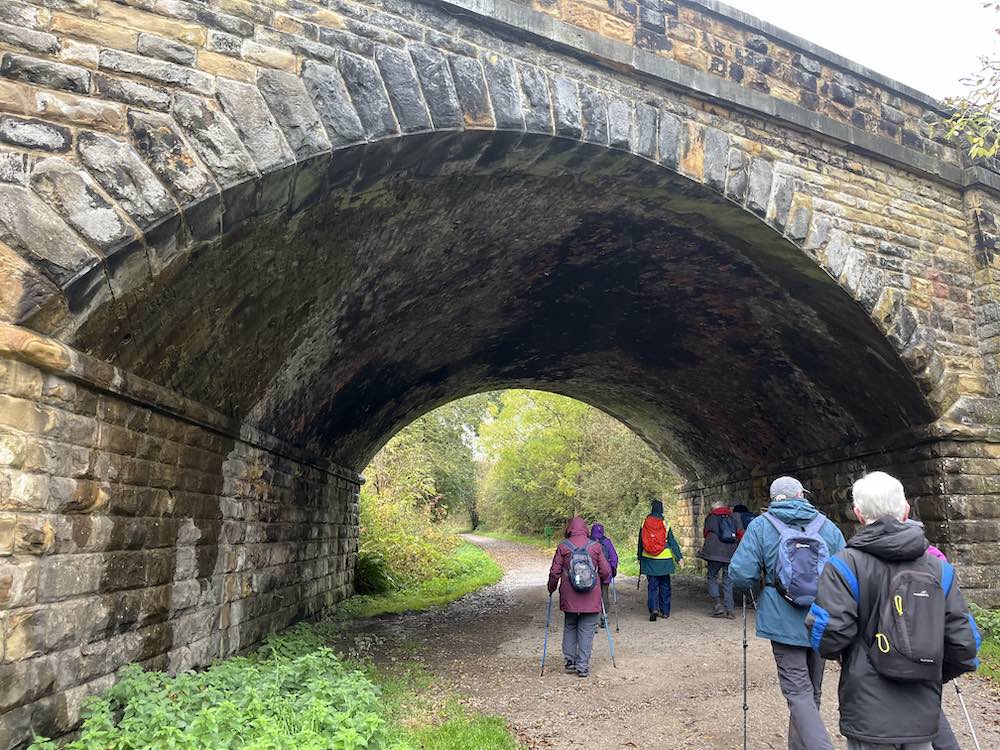
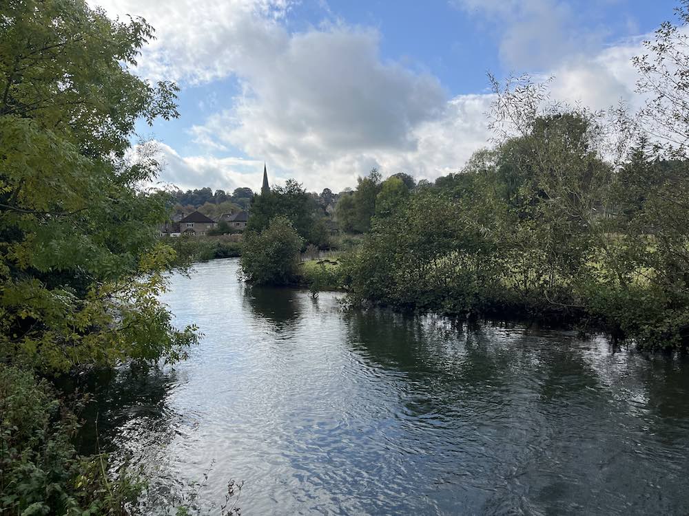
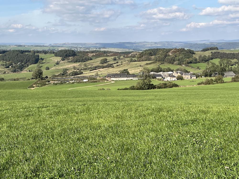
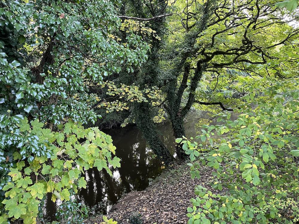
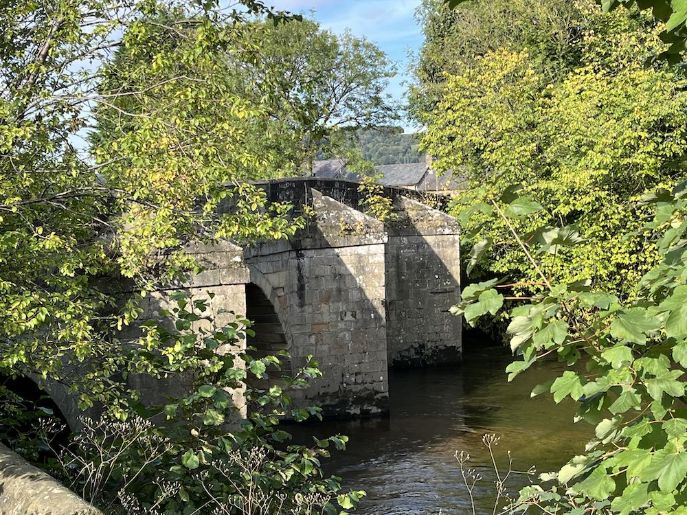
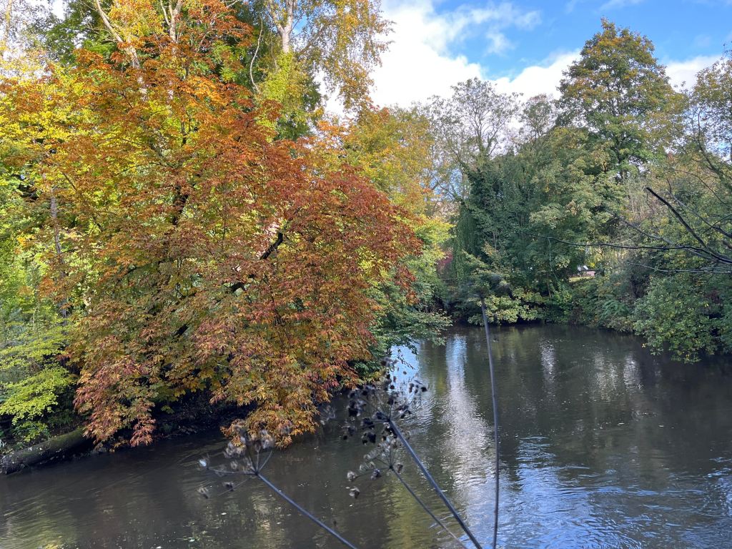
I followed the path on the same side of the river as far as I could, as it petered out and I had to cross the bridge at the start of Matlock Bath and walk a little way down the awful A6 until I could cross back over. Unfortunately, Lover’s Walk was closed for tree repairs, so I went back on myself until I saw a notice saying the Nature Walks are taken at your own risk. The footpath lead upwards again right up to the very top of the woodland, providing wonderful views of the hills to the east and occasional snippets of views of Matlock Bath. I continued on this path as long as it would allow me to, but eventually I had to drop down into the woods and back to the river, where again access to the river is limited. I walked back to the Derwent Gardens bridge and through the gardens and up to the main road, intent on having a coffee and finding a bus back. So far, this was 4.5 miles.

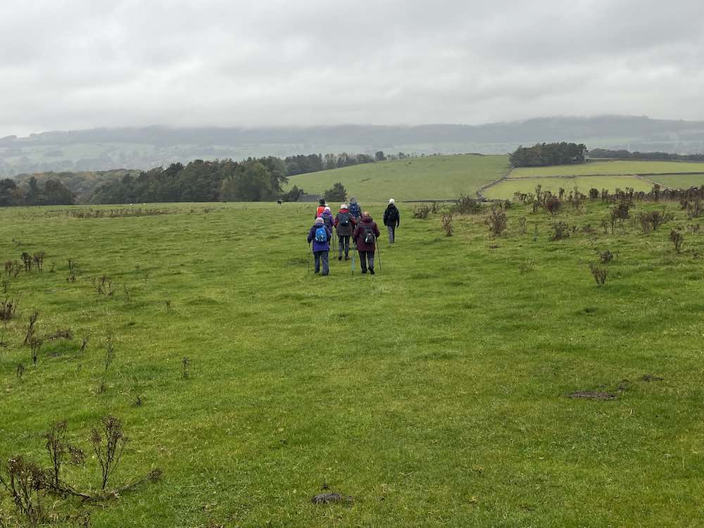
Suitably refreshed after a bag of chips and a latte, I changed my mind and decided to walk back over the hills to Matlock. It is a stiff climb up a relentless hill until the point where the path goes underneath the cable cars. It is then a delightful walk, mostly contouring, all the way back to Matlock. Much of this is wooded until the final section where it enters fields where donkies and sheep munch side by side on the grass. A quick trip into Sainsbury’s and two ticks after that I was back at my apartment.

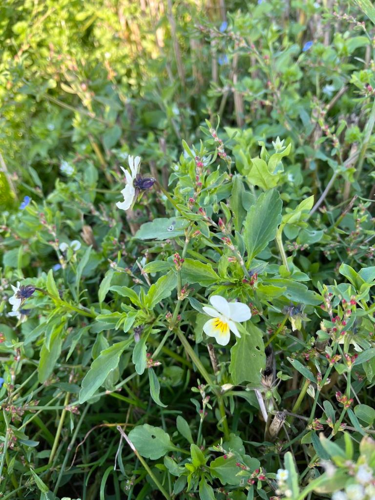
It was a really lovely walk, but it did tire me, more than I would expect of that kind of walk. Nevertheless, It is so good to make the most of the weather and to see the wonderful autumnal colours in all directions.

My stats are a bit different today as my Garmin battery had run out and I couldn’t find the charger, so I used Map My Walk to record the details of this walk.

Section A: 4.43 miles, with 435 ft ascent; walking time 2hr 11mins.

Section B: 2 miles, with 406 ft ascent, walking time, just under 1hr.

Hassop Station Short Walk

This was my first walk with Matlock U3A. They have a ‘short’ walk group and a ‘longer’ walk group. The short walks are up to about 5 miles, start at 10am and finish by lunchtime, but there is often the option of extending it with a lunch at the end of the walk.

The weather did not look promising as we started out, it having been raining cats and dogs in Matlock over night, with an equally unpromising forecast for the morning. Undaunted, but wrapped up in wet weather gear, I walked down to Sainsbury’s to meet my lift.

Parking at Hassop Station cafe involves paying for parking. If you prefer to avoid payment, many people had parked down a nearby lane. Hassop Station cafe is directly next to the Monsal Trail so it is a popular starting point, as it is a nice flat walk to Monsal Head, one of the highlights of this area in the Peak District.

Our walk was short, as expected, and indeed was only just over 3 miles altogether. Never disparage short walks – they have a place; for those short of time, for those exercising dogs, for those in less robust health. The views, even in inclement weather, as today, still offer something very exciting, and it’s good to see nature in all its moods and seasons.

Our group of 13 people started northwards along the Monsal trail, but only for a short distance. We then turned left onto a stony footpath leading uphill, and very soon we could see hills in the distance in all directions. There was a chill in the air and even the cattle seemed to be moaning about the weather, looking forlorn and bedraggled on the hillside. This footpath ultimately leads into Bakewell and as we went down the hill it looked quite mystical in the hazy mist that was covering everything.

Avoiding Bakewell, the next section of the walk turned right across beautiful meadows towards the top end of a wood. I loved the wood with its tall trees dripping leaves of autumnal colours. This was their land and their ownership of it was clear.; we were just passing through like millions of people over the centuries. I may be exaggerating here, but why not! We need a bit of imagination and am appreciation of beauty, and what’s a bit of hyperbole between friends. At the end of the wood, the path emerges at the top end of a short dale that goes down towards Bakewell. We went in the opposite direction and joined a small, but busy road, for a short distance before regaining the Monsal trail. It was then a direct walk back to Hassop station.

Hassop station had been busy at 9.30am and the cafe was even busier at 12 noon. There is a pleasant covered area to sit outside and some takeaway vans for coffees, pizzas and cakes, so we finished our time together with warm drinks and food. The inside cafe is excellent if you don’t mind queueing, and there are toilets both inside and out.

The others then made they way home, whereas I decided to walk into Bakewell as the weather was improving. I would mess around there for a short time, buy myself a nice apron and some stamps (way more expensive in England than the Isle of Man), and then it was time for ‘hunt the bus stop’, which was in a different place than all the other bus stops – but in a very sensible and I should say, very obvious place!

Stats for U3A Walk: Distance 3.09 miles; Total Ascent: 295ft; Total Descent: 262ft; Total time taken 1hr 55min; actual walking time 1hr 23 mins. Add on another mile + to go into Bakewell.

Elton, Gratton Dale and Long Dale

This was Saturday’s walk, or was it Sunday. You tend to lose track of time, when there aren’t appointments on the calendar and one day merges into the next. That will change as I become more involved in the locality. I have already met a few people with the U3A in Matlock, and I shall be going to table tennis tomorrow and out with a ‘short walk’ group on Saturday.

I had spotted Elton on my OS map and noticed that it had a couple of dales in easy reach of the small village. It is only a short drive away – no more than 10 mins – so perfect as a starting point on my epic ventures in Derbyshire.

I parked close to the church. The village is lovely, with old and new houses blending in well together. No shop, but that’s nothing out of the ordinary these days. I set off down the road and met my first obstacle- actually, the only obstacle of the day. There were two (at least) paths shown going off at the farm but on the ground the one I wanted didn’t exist. Unperturbed, I followed what I thought should be the right of way following a line of trees around the farm. It was very muddy – mud is something I am going to have to get used to. Then where to go to at the other end of the farm buildings? Still no footpath signs, so using my common sense I skirted around the easterly edge of the buildings, the ground been mostly slurry – not attractive! And then, I spy a gap in front of me as if I was supposed to know I was on the right track all the time.

From there, it was downhill into an attractive valley – still no obvious path – but as I had my trusty map I knew I was going in the right direction. Finally it became clear as I reached a gate with a signpost. I could also hear voices just ahead of me. At Dale End, very appropriately named, I turned left to see the owners of the raucous laughter. A small family, doing their best to cover up a noticeboard? Um… interesting? It turns they were the lead family in a massive group of 30 people on somebody’s 50th birthday spree involving a treasure hunt. The family were way ahead of their party and sabotaging all the clues :-). I was warned about mud, but I hardly needed warning after what I had been through already.

Gratton Dale is a mostly dry, narrow valley with low scrub and green hillsides. It was still quite green with only a few autumnal colours, and I imagine in spring it will come alive with flowers and birdlife. I did see several butterflies and squirrels, but otherwise it was mostly devoid of active natural life. I had walked for many minutes before I met the remainder of the birthday party group – they were very spread out, laughing and enjoying each other’s company. Again, they warned me about mud! See what I mean?

This part of Gratton Dale continues for about 1 mile, when it reaches an abrupt end, rather like a T junction, with a hill banking up in front and hills to either side. The path to the left is the quicker path to the main road, but I was still exploring the hills and dales, so I went up Long Dale to the right. Incidentally, there are some awkward stiles just here that require care when climbing over. My old IOM walking Whatsapp companions “No, Not Another Stile” would no doubt be shaking their heads 🙂 .

Long Dale was short but lovely. There was a sense of timelessness about it, of people walking along these tracks from place to place with their sheep or youngsters frolicking about on lazy Sundays. I enjoyed it very much. All too soon, it was time to go into the western section of Gratton Dale. This was more open than the eastern side and followed a low stone wall all the way along, presumably a boundary of someone’s land. As I reached the end I was met by a herd of cattle who were clearly not going to budge so I had to elevate myself above them to get round. They didn’t even ‘moo’ to acknowledge my respect for them.

The next mile is very boring in one sense, in that it follows a main road. There is no real alternative, but once off the road it is plain sailing on grassland and ploughed land, and no stiles. It’s also in a dead straight line, so you barely need a map going from field to field. This time, you just have make yourself very slim to sidle between two stone posts. The birds were in their element here, lots of them, nesting? in the low growth. I couldn’t work out what birds they were. I did try, but my App gave me silly answers. One of the very large fields had only just been ploughed so I had to blaze the right of way through it, just in time to meet the 30 party-goers again on their way back to Hollybush Farm. The views all along the main road and into these fields is amazing. You need see it to appreciate it, as the distances are too big for a photograph.

From the high open fields, it is a gradual descent into Elton. There was a surprising number of wildflowers, including the tiniest primrose I have ever seen, on the very windy upland part of this walk.

This is not a long walk, but was fairly strenuous with the mud and rocks in the valleys. It’s one I shall look forward to doing it in other seasons, if I can find a better way around the farm at the start.

STATS -Distance: 5.66 miles; Total Ascent: 568 ft; Total Descent: 479ft. Total time taken 2hrs 26 mins; walking time 2hrs.

Screenshot

I’ve arrived..

My time up until now has largely been spent unpacking and carrying out the huge amount of admin involved with moving from one country to another. The Isle of Man, another country? Yes, it really is, and you really find out just what the differences are when you move back to England. For instance, I can’t drive the car until it is Mot’d (no Mot required on IOM) – done; then the car has to be re-registered with DVLA and Uk vehicle tax paid (pending); then I have to wait for the log book to be returned with the new registration number (pending); then I have reinsure the car (eventually) with new number plates (eventually); change IOM driving licence to UK driving licence (pending) – then I can finally drive my car. I am insured on my IOM insurance meanwhile, but technically it is illegal to drive until the process is complete.

Then there is the issue of getting a bank account – ideally, I wanted a bank with a branch in easy reach of Matlock and that means Nationwide, as everything else has either closed down or is about to close down. This seemed easy, until I tried to make my new current Nationwide account my nominated account for my NSandI account and my Skipton International account – and both refuse to verify Nationwide. NSandI can’t say why, or how long it might take for it to be verified. So, if IOM Bank decide to close my accounts, which they usually do when a person moves off-island, I shall have no direct access to the money in NSI or Skipton. And considering NSandI currently has my house sale money, this somewhat displeased me. The only way I could withdraw it in order to get a better interest rate in the short term was for them to send me a Banker’s Order, and indeed this is the only way I shall be able to withdraw money from NSandI until the Nationwide account is verified or I open a new (pointless) current account! If it’s good enough for the government to pay my pension into it, I can’t see what makes NSandI or Skipton any different.

Everything I have touched over the last two weeks seems to have had the same complications – and you can imagine the endless hours I have spent ‘on hold’ trying to sort out one issue or another.

BUT…. I am almost there, except this nagging nominated account problem. So, on Friday, on a lovely sunny afternoon, I put all this on one side and walked along the valley bottom to Darley Bridge and back along the other side of the river. It is taking time to get used to the noise of traffic, but it’s not as bad as I expected it to be. I really like Matlock, as a small town, with quaint shops and streets, and the river winding through it. And the countryside is just beautiful, in every direction. There are some wonderful footpaths not too far away from my apartment, including this one and just 5-10 mins in the car opens up a huge range of options for walking.

The valley walk was a good tonic. I know I shall be happy here, and there will so many footpaths to explore when I need some calm or a pick-me-up. Even better was a lovely walk I did yesterday around Elton, which I shall write up tomorrow.