I imagine many of my readers will have visited Chatsworth House, owned by the Cavendish family, the Dukes and Duchesses of Devonshire, over centuries going back as far as Bess of Hardwick (a National Trust house only a relatively few miles away). Chatsworth is now a Trust, so that the estate can be maintained and enjoyed by everyone, and its legacy continue well into the future, especially the house, gardens and deer park.
Thursday’s visit was a U3A Archaeology outing to explore the parts of Chatsworth that most people don’t see or know about. Our guide was Jamie, sorry I don’t know his other name, and what he doesn’t know about Chatsworth isn’t worth knowing. He has been a guide for Chatsworth in various guises for many, many years. He is a very interesting speaker and considering he was communicating outdoors, we could hear every word no matter where we were standing and it felt as if he were talking to each person individually.
You might ask was there a village called Chatsworth? Indeed, there was. It is now lost, but lies not far from the house itself. There are other lost villages too, which may in time re-surface such as Langley. We can only speculate right now as to exactly where some of these tiny villages were. It is thought that they were abandoned or lost possibly due to the plague.
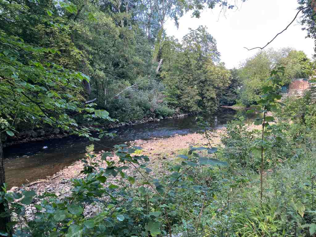
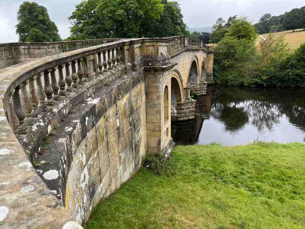
To return to the beginning. We started by walking over the bridge and followed the river downstream. This is a path trod by many and it gives a wonderful view of Chatsworth House. We stopped seemingly in the middle of nowhere, and Jamie explained that this had been the former crossing point over the river; the path had previously continued uphill where the woods now are, and in the opposite direction it led to the original village of Edensor, which was demolished around 1830 as it detracted from the view from Chatsworth. We followed his trail, crossing the existing (relatively new) road onto a track that really was part of the original road, noticing the humps and hollows mainly to the right where the former cottages had lain.


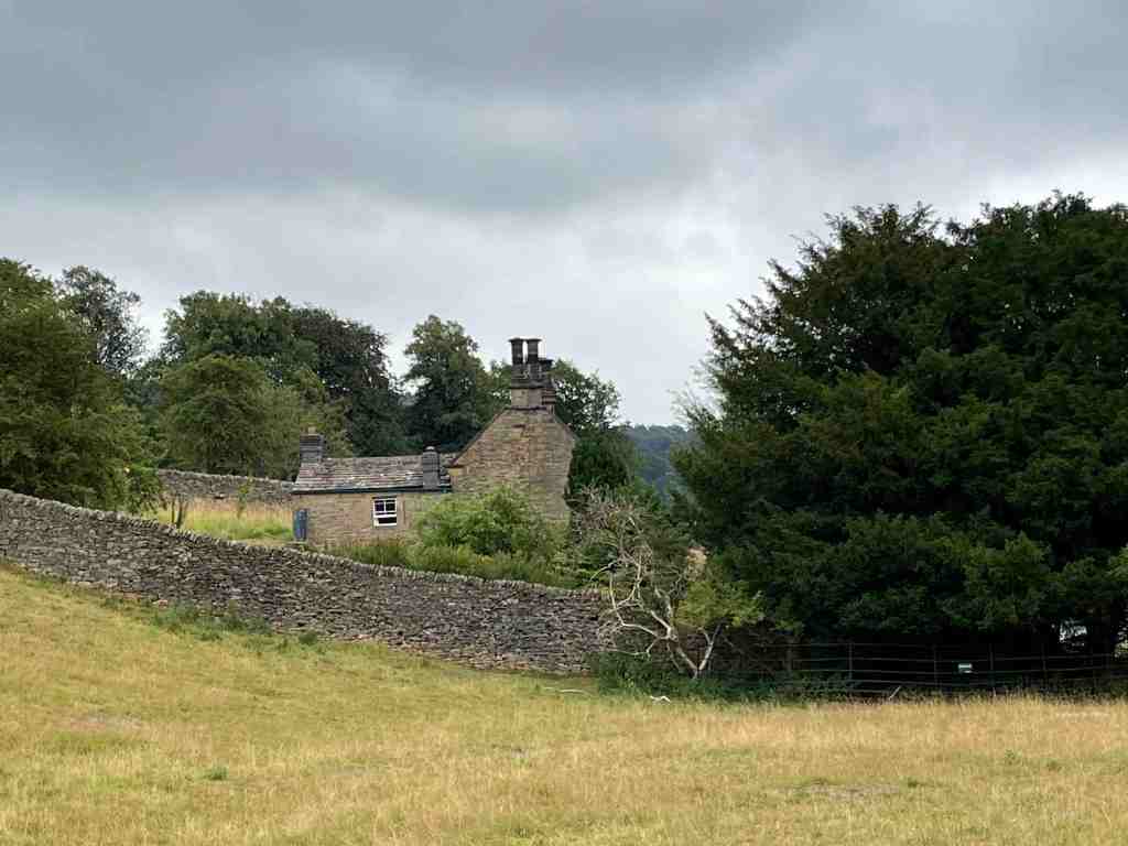
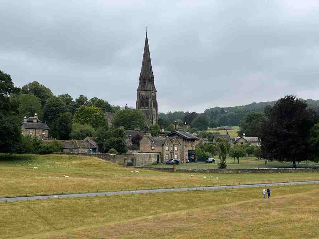
There is one cottage that was not destroyed in the move, though no-one really understands why is escaped demolition. It is called Peak Cottage or Gardener’s cottage. It is a delightful looking property, encased in its stone walls. The second photo below shows the ‘new’ village of Edensor (pronounced Enza), and the third, is a very faint painting of Edensor as it was, and the fourth, taken from the Chatsworth.org website shows the layout of the old village in more detail:


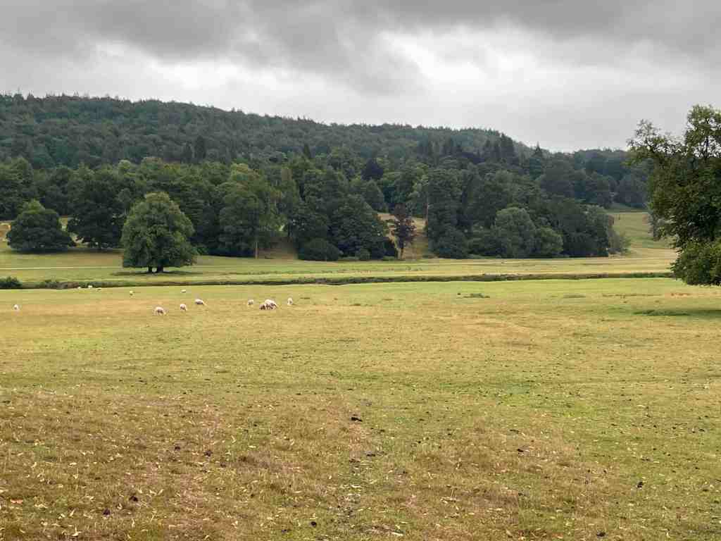
We skirted round the lost village and went uphill, where again we stopped at a point where there was apparently nothing to see. On closer inspection, this field contained a few ancient remnants of cony-garths, which is a 14th century name for an artificial rabbit warren. Looking down at our feet, we could see some entrances and exits to the warren, but mostly they were covered over, and 99% of the time, you wouldn’t pay any attention to these, or even spot them.

We walked back to the bridge. I noticed that there were no statues on this side of the bridge, whereas there were ornamentations on the other side. Jamie asked us why the bridge was located at this particular angle, which would necessitate an arcing detour for carriages to the house. It is purely cosmetic. If the bridge had been built straight on, it would not afford an interesting view, whereas now at this angle, the bridge with its decorations could be seen and enjoyed from the house. Looking at the photos below, it does look as it there should be some statues on the other side after all, but they do not exist today.

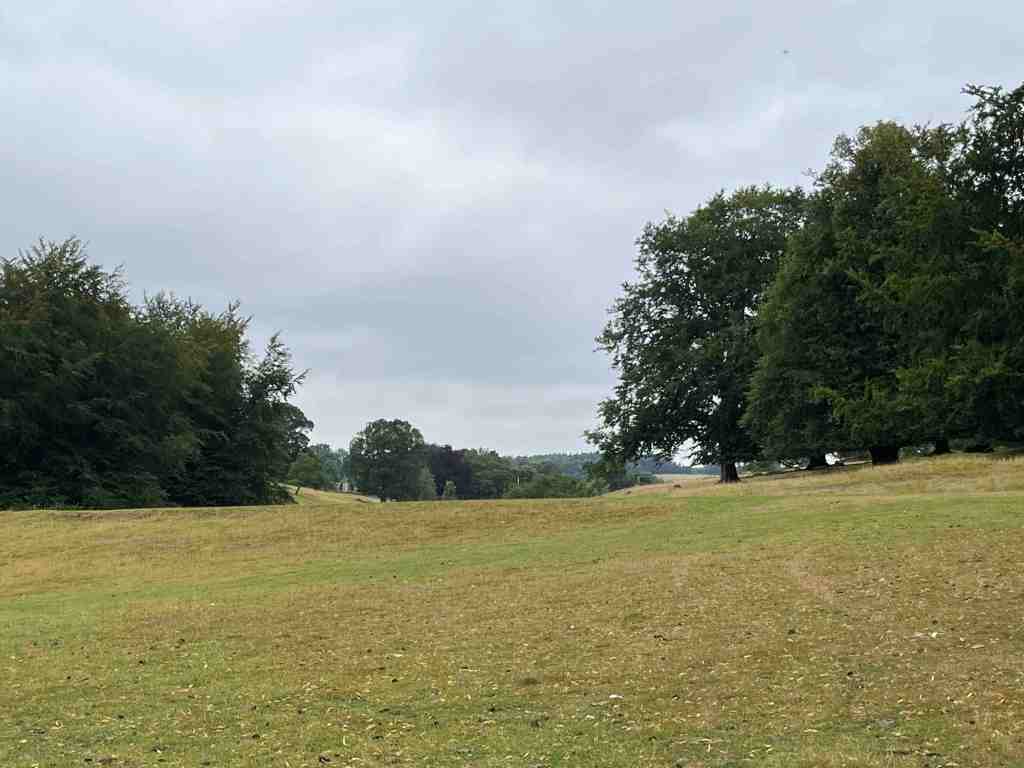
We continued along the house side of the river towards Baslow, noting the locations of former fishponds by their boundary mounds. These covered quite an area. We also learned that this is the area of the old village of Chatsworth and Langley, and one other whose name I forget. A bit further on towards the cricket pitch, he showed us where the direction of the river had been changed. Originally, the cricket pavilion (not shown in the photo, but to the left) would have been on the other side of the river, but the U-bend was removed creating more meadowland and extending the deer park. We did see both fallow and red deer on this trip.


Finally, although he did point out more old relics on the way, we found ourselves at a mound with a channel at the bottom and a pond at the top. This was one of three ice houses, and we learned how the pond was used to create the ice, and how it was stored.


This was a fascinating morning out and certainly adds to the enjoyment of Chatsworth. I am encouraged now to explore more of the outlying estate and learn more about the topography of the area.
Thank you, Jamie, for a great morning, for all your research and the old and new maps you gave us, along with the lidor maps showing underlying features that cannot be seen any other way. If you get a chance to go on one of his guided walks, I thoroughly recommend it.
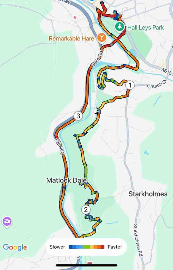
This was almost 4 miles in total; very little ascent and descent.