Guernsey – final day 30/08/20

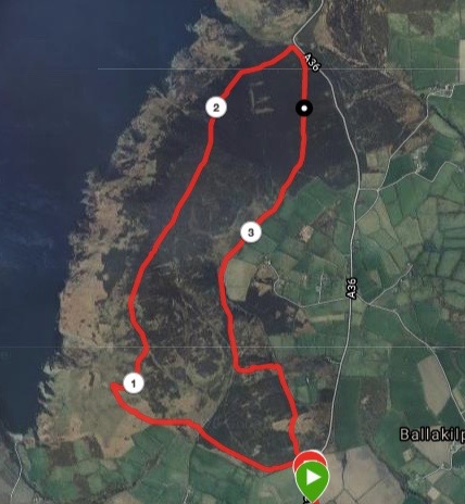
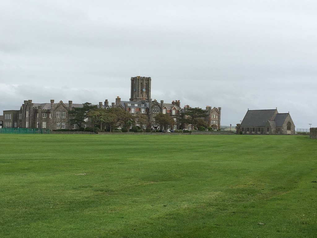
With only a morning left, I had my last opportunity to visit any local attractions, and as Little Chapel was less than two miles from my hotel at La Villette, this seemed the perfect choice for my final walk.

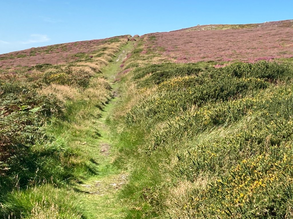
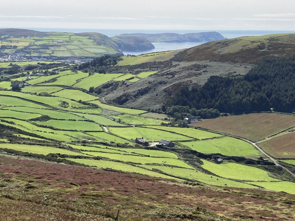
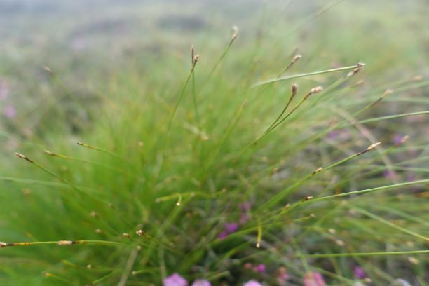
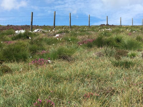
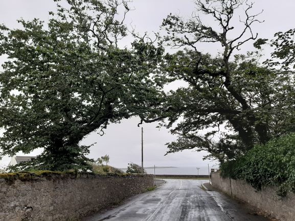
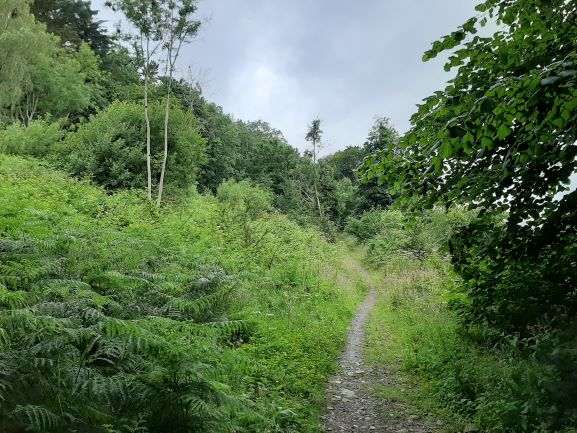
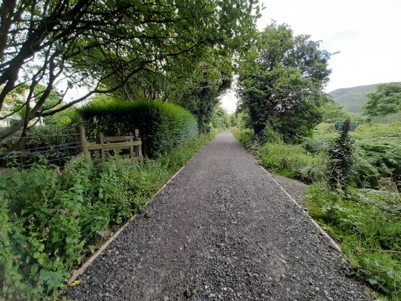
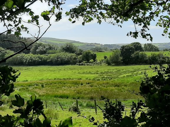
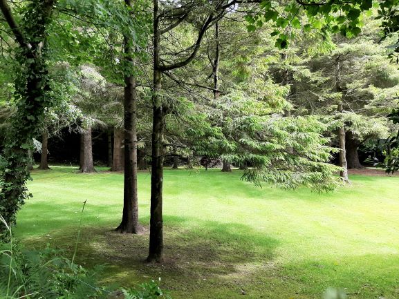
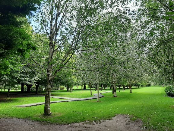
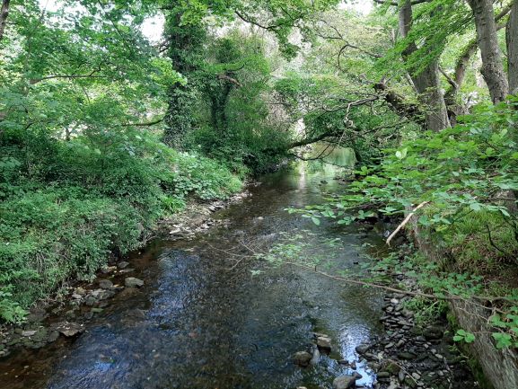
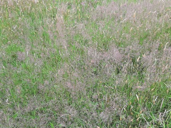
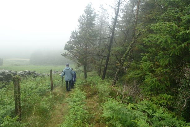
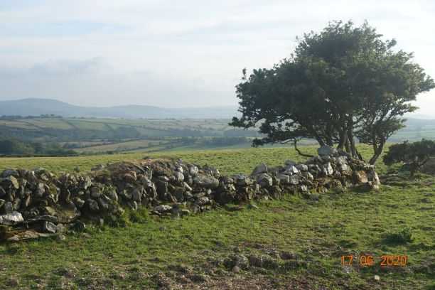
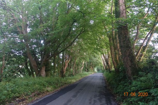
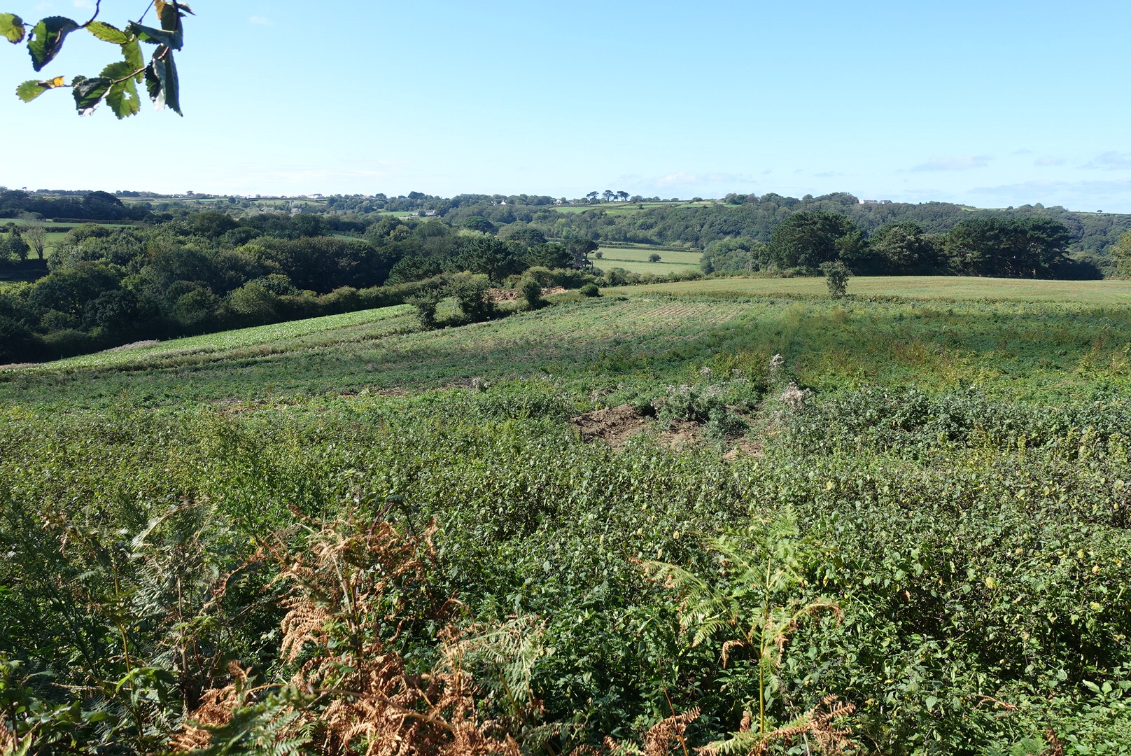
The interior of the island is much quieter than the main thoroughfares and Guernsey has many publicised ‘Routes Tranquilles‘, the equivalent of our Green Roads. I was able to make use of many of these, which I imagine were farm roads in years gone by.

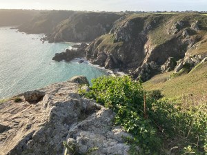
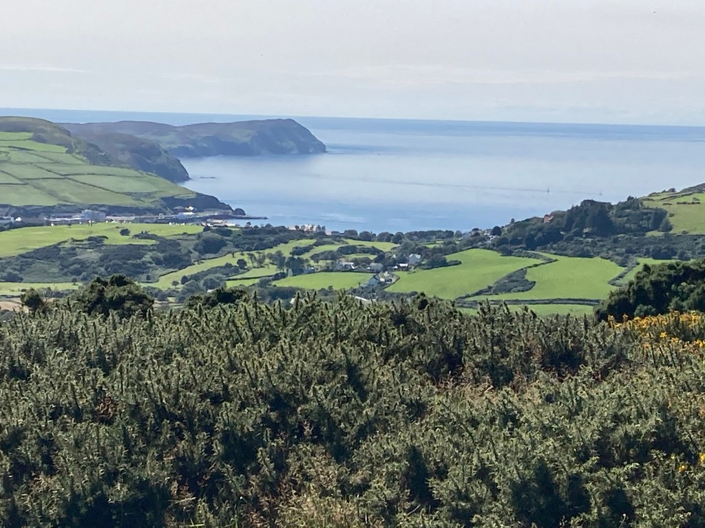
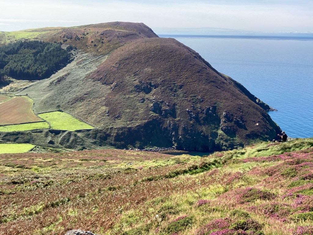
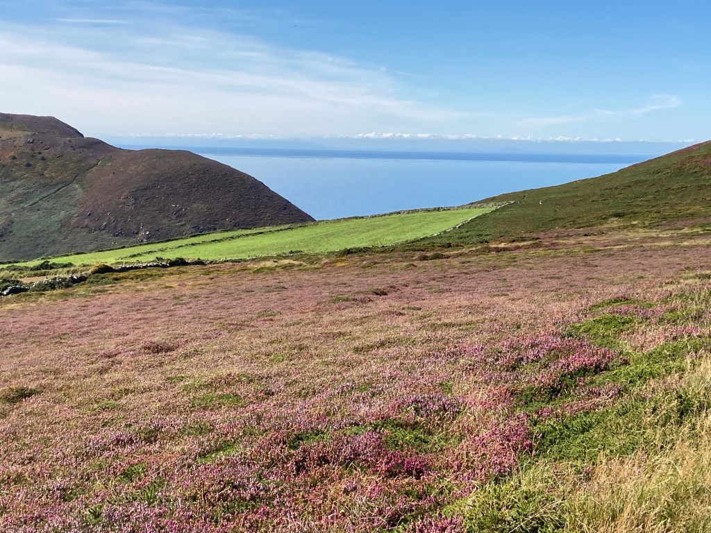
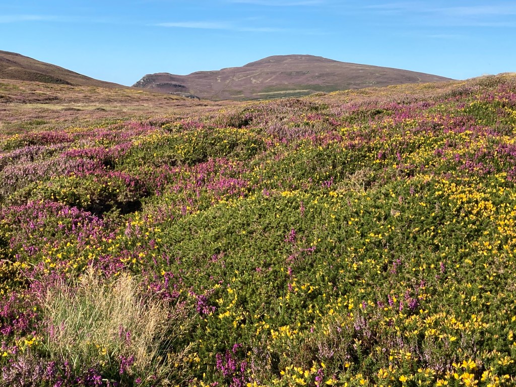
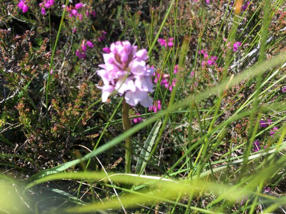
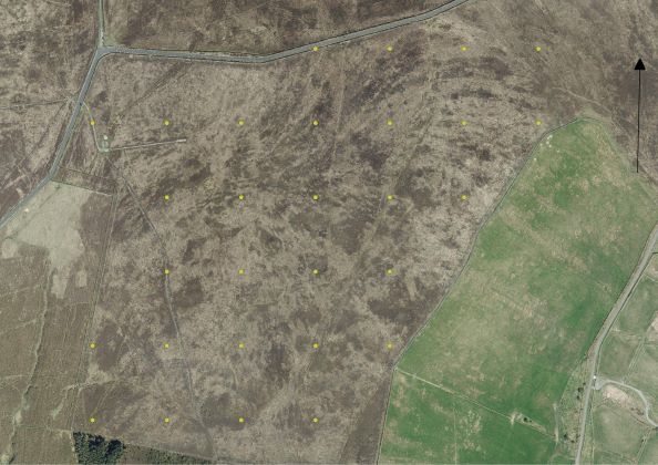
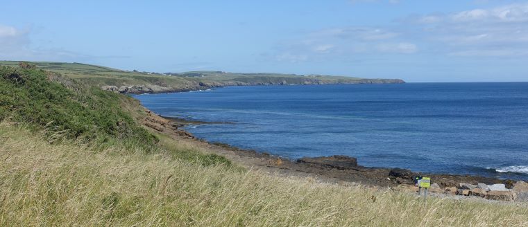
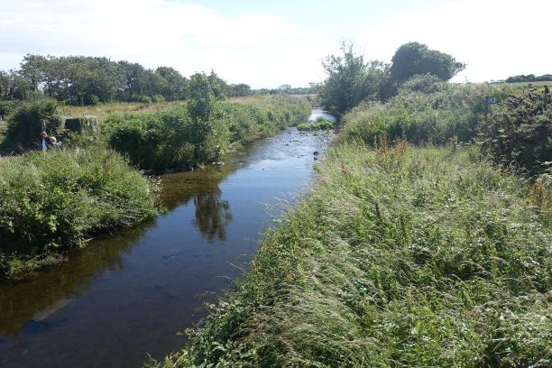
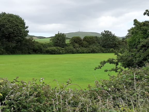
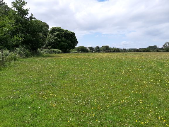
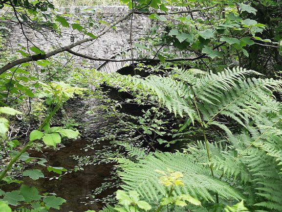
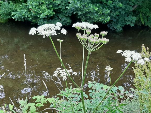
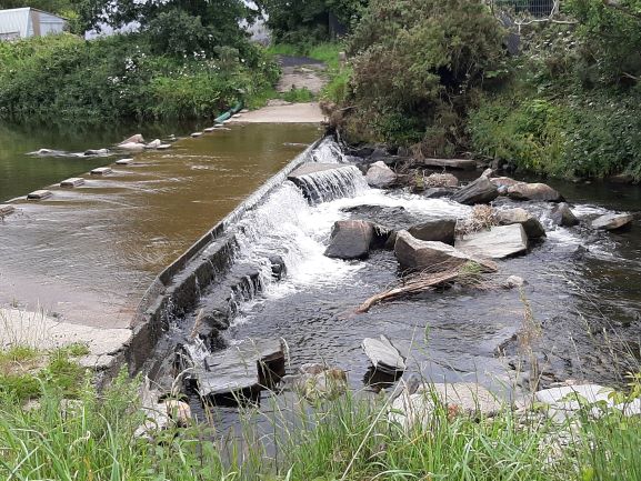
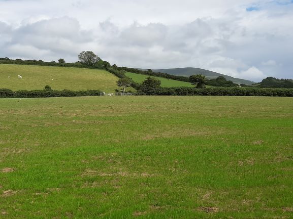
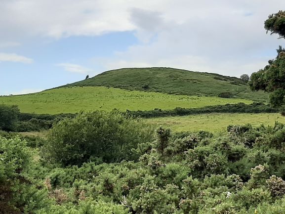
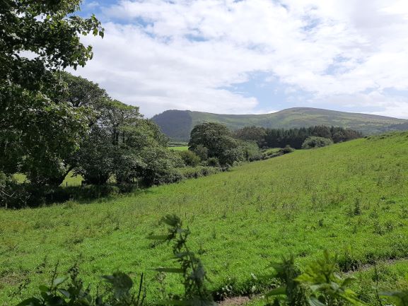
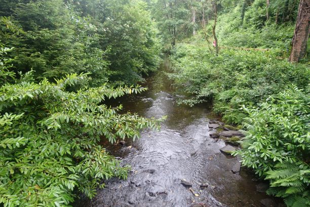
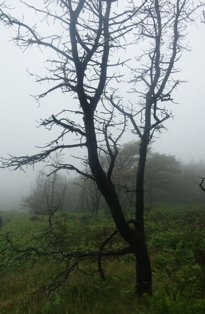
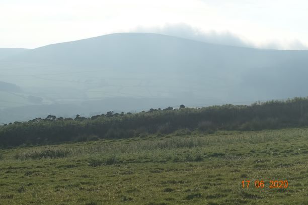
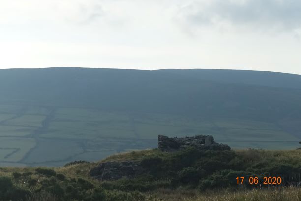
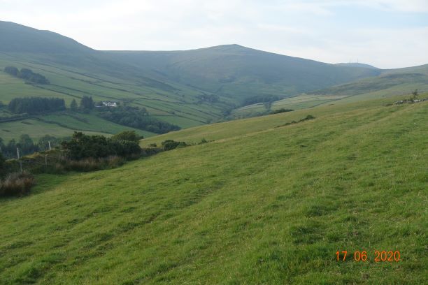
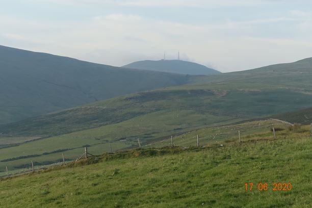
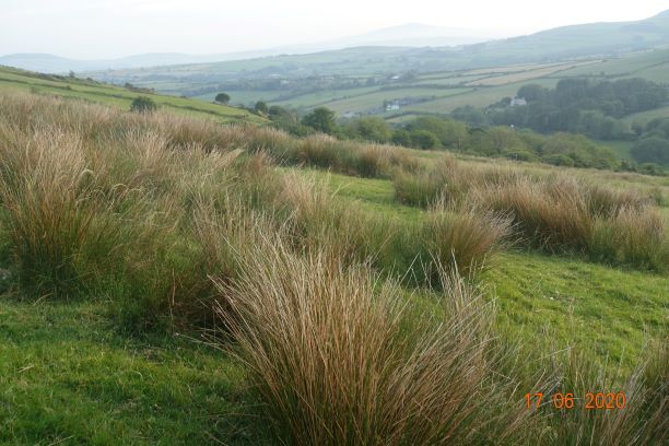
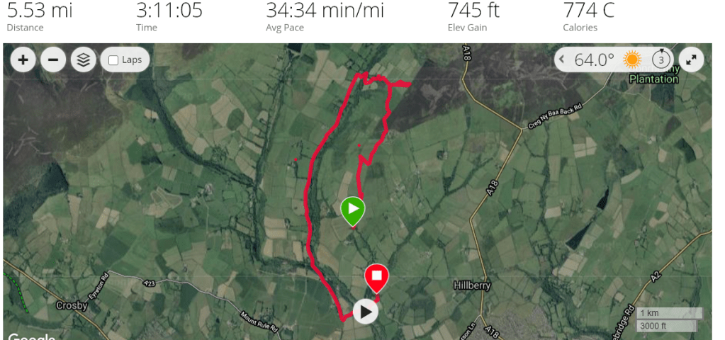
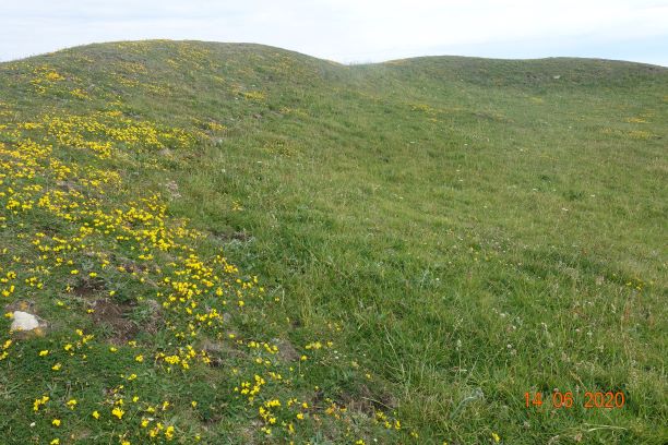
You will recall that the island claims to have no hills. Of course, it is not entirely flat, and inland it has a regular pattern of small hills cut through by attractive streamlets. I walked 7 miles inland this morning, and even then I managed to climb over 809 ft, so you can see this is a surprisingly undulating island. The highest point on Guernsey appears to be Hautnez at 111 metres, which is near the airport. Many of the cliffs are of similar height.

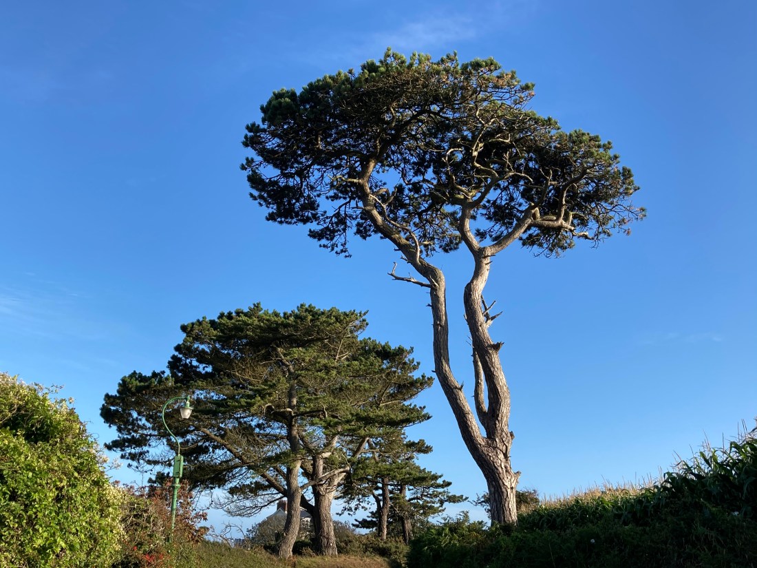
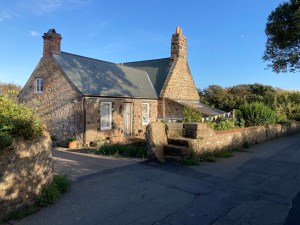
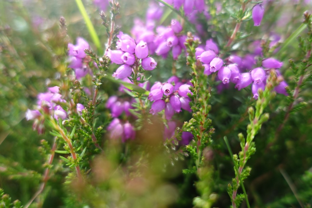
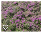
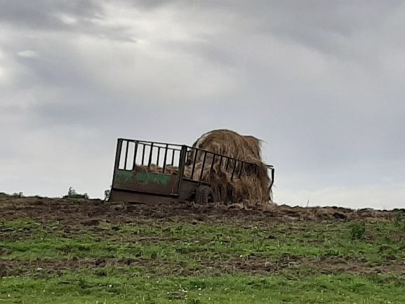
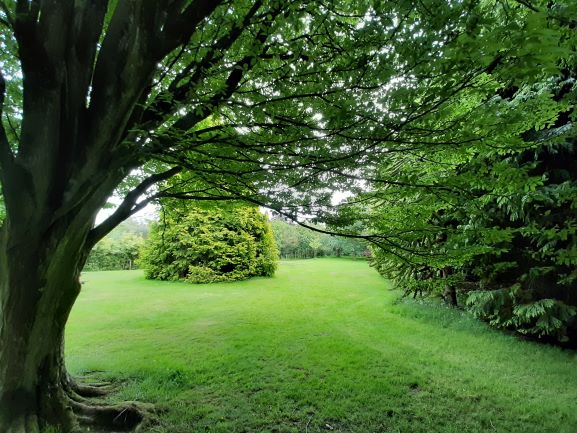
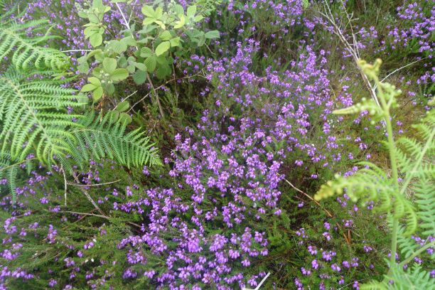
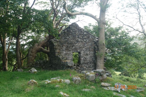
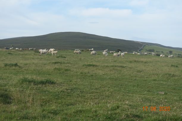
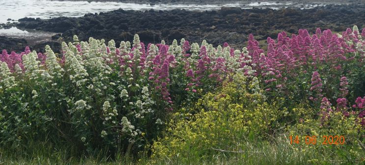
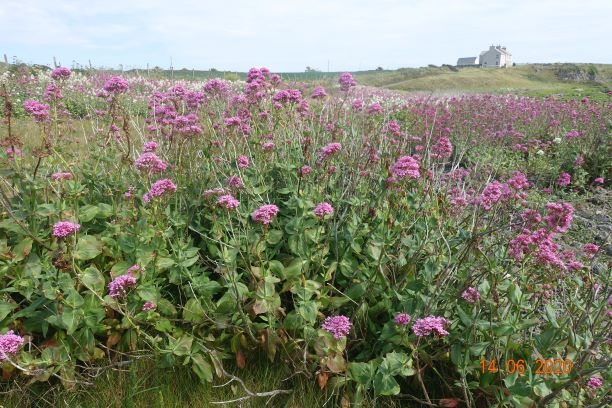
But today was pure countryside and brown and white Guernsey cows, and tiny villages with magnificent buildings.

The Little Chapel is very beautiful. I was expecting just one area for worship but there were a number of small chapels, all equally beautifully adorned. Creating it must have been a real labour of love and I could imagine using it for personal worship. Somehow it doesn’t feel as if it ought to be a tourist attraction.

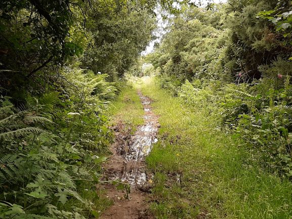
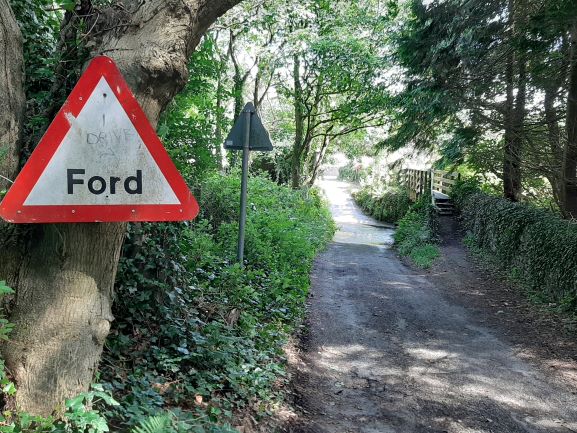
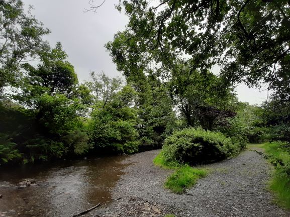
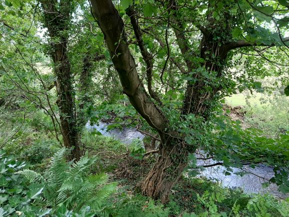
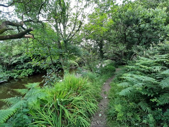
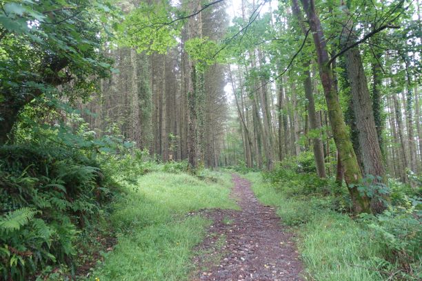
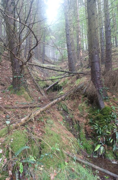
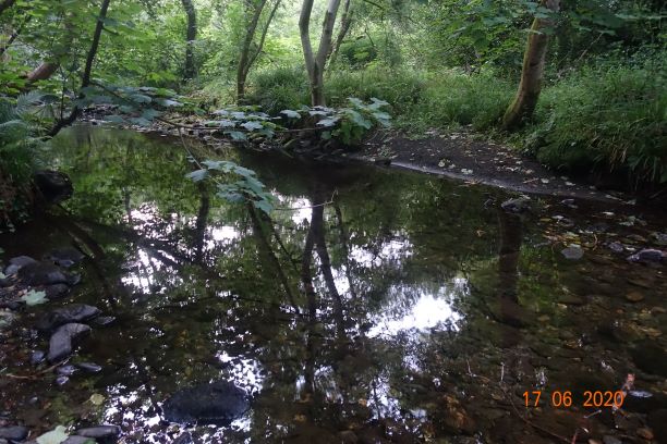
Having visited the chapel I went to the village of Les Vauxbelets and followed the route tranquille up to the Candie Road. I turned left as I had spied a walking path through woodland that interested me at Les Fauxquets. This was a pleasant walk, though the end of the path was unfortunately very muddy, making a mess of my new shoes.

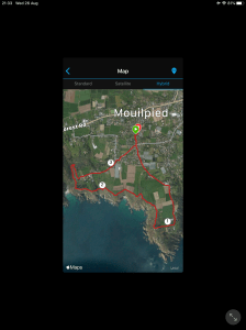
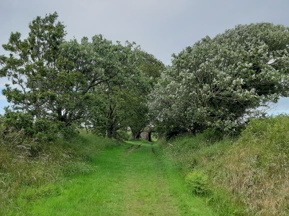
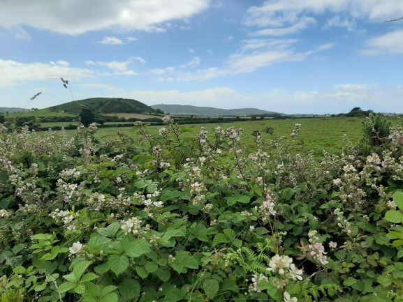
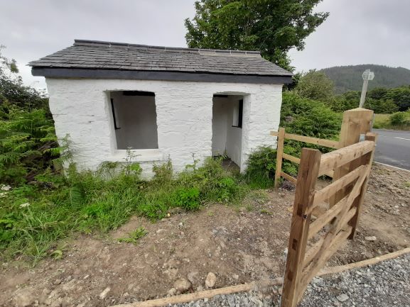
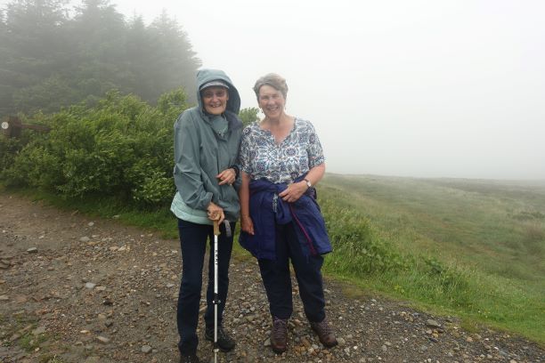
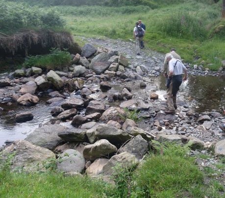
I followed the Route des Talbots with the Talbot Valley on the right. It is very picturesque with some beautiful houses. I then took side routes, that lead to St Andrew church. From this point I followed more routes that were ‘tranquilles’ but unremarkable and I was soon back at Mouilpied, the small village close to La Villette. I was back in time for a lunchtime pint in the bar, and later on a cream tea to keep me going until I arrive back on the Isle of Man.


So what have I gleaned of Guernsey these last few days?

1) it has far too many people and cars

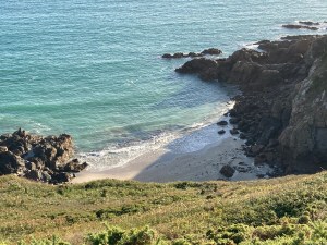
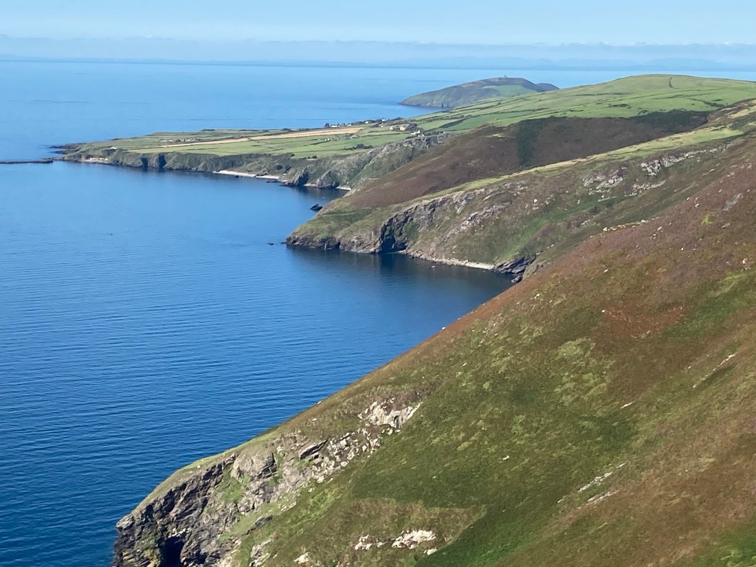
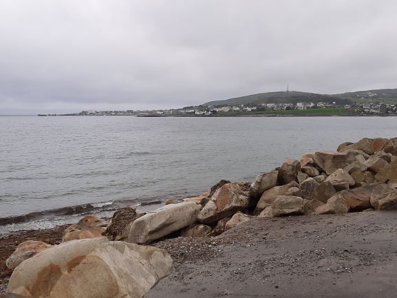
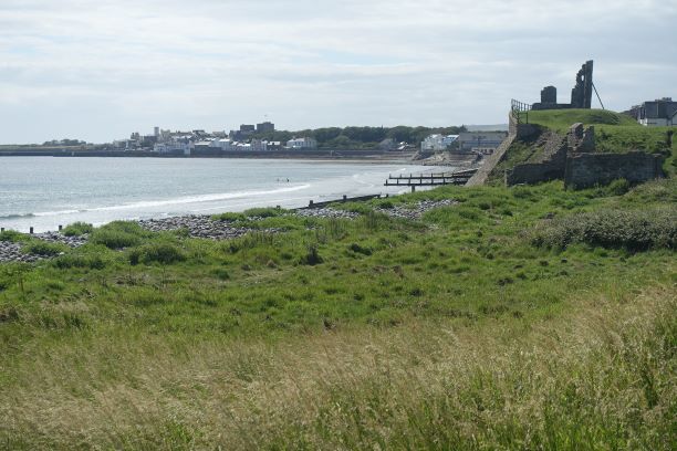
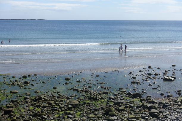
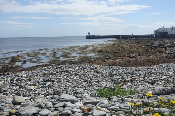
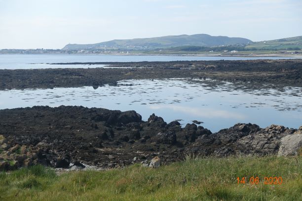
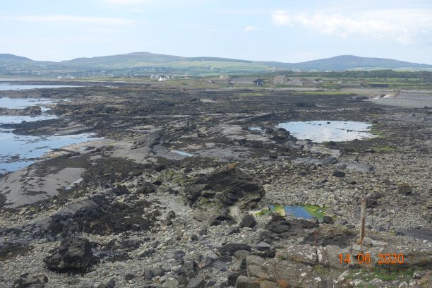
2) the coastline to the south and south east is magnificent walking country.

3) their number plates contain only numbers, usually 5 digits but I saw one today with only 4

4) they have a good bus service, but narrow lanes therefore all journeys are slow, and if you happen to be behind pedestrians or cyclists, very slow

5) they build very large walls around their properties in the main town

6) books are cheap. My copy of Les Contemplations cost £3.71.

7) the footpaths are good but many do not contain waymarker signs. The scaled map is very good.

8) their post boxes are blue and set into walls.

9) many of the villages have their own ‘abreveur’, pumps which provided water for the local villagers

10) although the village names and places look and sound as if they are french, the pronunciation is different, more anglicised

11) it has a lot of cows

12) it is inundated with reminders of its war time histories

13) I didn’t pass a single shop on any of my walks, except beach cafes and, naturally, in the metropolis that is St Peter Port

14) if walking the coastline, be prepared for hundreds of steps! Continue reading “Guernsey – final day 30/08/20”

Air-Bridge Guernsey – Arrival Day 26/08/20

What an eye-opener! From the sky Guernsey looked to be a highly populated possibly overcrowded little island. In the taxi, I was struck by the amount of traffic, but once I got to my hotel south of St Peter Port at La Villette, I discovered a different world, of long lost lanes, attractive stone cottages, cows(!) and a most magnificent coastline only a mile away.

From what I have seen in the few hours I have been here, this is an island that cares for itself and looks after itself. The houses in the villages are well maintained and look as if they follow tradition. There is evidence of many former farms dotted around and even the new houses are made to blend in with the natural stone of their predecessors.

Typical former farmhouse on Guernsey

When I arrived it took me a while to get my bearings as I thought the airport was near the main town, when in fact it was in completely the opposite direction. This being so, my first amble took me in a different direction from that where I wanted to go 🙂 Thankfully, my trusty Garmin watch knew where I was going, so I soon discovered my error. It would have been useful to find out where I was staying before I went on holiday, as I was guessing from the word ‘go’, and usually I am better prepared. On this occasion, I hadn’t given my short break a moment’s thought beforehand.


So here I was, an hour and half after arrival and three hours left before the restaurant closed. Time to explore. This time I went in the right direction and after a mile I was on the cliffs admiring the sea and shoreline. I couldn’t stop there, so after a cursory look at the map I decided to head westwards or if looking at the sea – to the right! The cliffs were so inviting – so inviting I would break into a hop and a skip or even a little jog every now and again. The sunlight was glinting behind the cliffs in front of me me and I made a mental note that this walk would be best undertaken left to right in the morning another time.

There are a number of ups and downs on this stretch of path but nothing too demanding. The paths are very well maintained and look natural (note IOM govt), and there are many sections with stone and sandy steps which are easy to traverse. The path reminded me very much of sections of the South West Coast Path which I did with my third son, Matthew, when he was a teenager.

The cliffs are interspersed with shady glens leading down to the little beaches. I am looking forward to exploring more over the next few days, but I know it will be over too soon.

I am trying to extend my holiday to 5 days. The hotel has room for me but the flights are fully booked, so I must make the most of my four days here.

Total distance: approx 3.5 miles, 489 ft of descent, 500ft of ascent.

Carnanes 24th August 2020

What a difference a day makes. Yesterday, we had wall to wall sunshine, today the rain is pelting down and the wind attempting to uplift anything not securely attached.

I had arranged to meet my friend at the ‘lower’ car park for a walk around the Carnanes. Only deciding which was the lower car park proved interesting on the day, and I had to drive back to the car park with the benches and the amazing aspect over the southern coastline.

This was perhaps the slowest walk I have ever done, but also one of the most enjoyable as we pottered around the hills, stopping to enjoy the sights at various points and having a natter over a sandwich or two. It is such a joy to have time, when the hours don’t matter, and as long as you are home before dark no-one will notice how long you have been out.

We set off from what I call the top car park, but is in fact the lower car park and took the farmer’s track onto the heathland of the Carnanes. The sun was strong and bright so we decided to walk south to north to avoid squinting all the way along the tops. 


We contoured around the southern end of the Carnanes peaks, which afforded us terrific views of the Calf of Man, Bradda Head, the sea and skyline, and we took the first of our many stops at this point so that we could take it all in.

The heather and gorse were out displaying a wonderful variety of pinks, purples and yellows, but not quite as dramatic and colourful as other years. The bees and butterflies were out in abundance, buzzing and flittering around the heather. This section of the walk is one of my favourite places on the whole island. There are a few rises and dips in the terrain and a handy cairn stopping point for lunch, before a steady walk along the top to the highest point with a dramatic cairn and the wonderful title of Lhiatteeny Beinnee (301 metres), which translates as ‘side of the summits’. This seems slightly odd as this is the highest point and the slope that follows down to the Sloc is called Gob ny Beinn, which translates as ‘point of the summits’. But what a view of Naribyl and Peel.

It was on Gob Ny Beinn that we felt the wrath of nature as the midges attacked us with full force, and both of us were bitten on any part of our neck and face that was left uncovered. I have big wheals in several places on my neck today. I remembered, too late, that I have had this problem here before, though why they like that area of the path I don’t know.

On reaching the Sloc(200 metres), our lowest point of the day, we turned north along the ruptured green road, favoured by cyclists of all descriptions, a group of whom passed us on their afternoon ride. This path contours around the east side of the hills, gradually increasing in height, and gives fine views across the meadows and countryside around Colby and Ballabeg. From here you have a panoramic view of the south east of the island as you pan down from the Chibbanagh Plantation at the Braid, close to Douglas and peruse the eastern coastline past the airport, down to Castletown and Ballabeg and the fine expanse of Carrickey Bay.

View to the south from the green road

As we reached the Carnanes, two smaller peaks with Cairns, not necessarily marked on the OS map, we went to the top, this being our last high point of the day. This is an interesting geological feature with intrusions of quartz. Interestingly, less is know about the geological structure of this section of our island.

We stopped to admire the differing displays of heather, gorse and ling at the various points on the hills. Ling seems to be very prevalent in certain areas. Until today, I had not realised that Ling is a separate subtype of heather, being called Calluna Vulgaris, whereas the true Heathers are a type of Erica. We have two types of heather, the Common Bell Heather with its bright purple flowers and the Cross-Leaved Heather, which is more usually found in boggy areas, such as Eary Cushlin or South Barrule. Manx gorse is a low growing gorse, often found interspersed with the different heathers and ling.

So, here our afternoon stroll and a very pleasant afternoon ends back at the same car park. Tomorrow I go to Guernsey on our airbridge. This is a place I have never visited and I am very excited to be taking my first holiday there. I shall go armed with my camera and sketchbook and hope that we dispense of today’s foul weather and it holds up for the few days I am there so that I can make the most of it.

Distance 4.13 miles; Total Ascent about 1000ft; relatively easy walking.


Peat Monitoring on the Isle of Man July 2020

You may have noticed a lack of posts from me lately. This is not because I am slumming it at home. I have still been out and about but not my usual type of walk. The last two Sundays I have been out in the hills collecting data on the state of the peat on the island, in this case, close to South Barrule, just above the Earystane Plantation.

Why am I doing this, I hear you ask? Well, the Manx Wildlife Trust is trying to find out how healthy our peat is. Sphagnum moss found in peaty areas retains a lot of water and if it is in good order it helps to contain the flow of water in extreme weather. It also aids the accumulation of peat as its mass leads to slower decomposition of soil and it also raises the water table. You will remember the Laxey floods in recent years, which in the time I have lived here – less than 7 years – destroyed the bridge in Laxey with spectacular photos of a bus in the river if I recall rightly, and last year the whole main street was flooded out, with some people having to be rescued. It even made the BBC news. The bottom line is that if we can restore the peat levels on the uplands it will help to keep the rainwater in the hills rather than flowing rapidly down narrow gullies and flooding our rivers and villages. Before anything can be done, MWT needs to know how much peat we have, how deep it is and whether it is attracting the right flora and fauna to sustain it, particularly sphagnum moss.

Sphagnum Moss
An orchid, the only one I saw in this location in the two sessions.

The task is essentially very simple. Take a long probe (and an extension rod if you think you will need it), a tape measure, something to record the data on, and a GPS App which contains all the waypoints. As I was working alone, I also took a highlighter to mark the position of the peat on the probe. This worked a treat and made life a lot easier.

Arriving at your start point, you switch on your GPS system and follow it to your first waypoint. This may or may not be easy depending upon the terrain. It is surprisingly tiring work as of course you are not walking along a nice level road, but making your way off the beaten track, clambering through and over heather, gorse and grasses of all different sizes and most of the time you have no idea where you are putting your feet as you can’t see the ground underneath all the undergrowth, so slow and steady is the name of the game. The waypoints take no notice of idiosyncracies such as deep channels that have been cut out by farmers or sudden drops in height, so detours are often necessary. Straight lines between the grid points therefore end up being anything but straight, especially as it took me some time to work out how to use the GPS App without any instructions!

The area I have been looking at these last two weeks does not appear to my untrained eye to be very peat-productive, Most of my probes only registered between 18cm-25cm depth (you take three different readings in a triangle around one gridpoint). The deepest measure I took was 40cm and the lowest 13cm. The land is quite dry and there is a fair bit of dead heather. There are exceptions but you won’t come across any deep bogs to navigate here. I only found two areas of sphagnum moss on my visits to actual waypoints, but I did also record one region where there was quite a bit of it as I was traversing from one waypoint to another. The moss needs the terrain to be wet and then it will soak it up. It is worrying there is so little. I suspect over the years different types of farming and the digging of peat will have affected the quality and amount of peat that we now have left.

This was just one area, and I shall be out an about in the southern uplands taking more measurements over the next few months. There is a team of us working on mapping the whole island, and it will be interesting to see if different areas are more lush than others in this respect.

Bog Cotton in the foreground of Cronk My Arrey Laa

Even the heather seemed a bit sad, but the bog cotton and one or two other flowers were enjoying their day in the sun.

Leaving the path, looking towards South Barrule
Towards Glen Rushen, the end of the day
Waypoints

I shall be doing a more normal walk in the next week or so….

Colby to Port Erin 7th July: 3.7 miles

Not exactly a hike, more like a brisk walk home from Colby following my excellent afternoon Pilates class with Sara (@saraszestforlife). I had caught the bus to Colby, paid a visit to the house I look after for my friend in England, popped into the local shop and bought some italian flour for making italian pizza before going to class.

It wasn’t the best weather for a walk home but I was reasonably well kitted out, though waterproof walking shoes would have been better than my trainers, so I discovered walking through wet and muddy undergrowth through the meadows. By the time I had finished, my socks were wet through.

I followed the railway line from Colby football club to join the path I frequent often, which goes beside the Colby river, through meadows and an informal wilderness. I didn’t take any photos of this part of the walk as I have described this section many times before. Instead of going past Kentraugh Mill, this time I turned left on reaching the road which would take me to the main coast road. I always enjoy the first glimpses of the sea which you get as you approach.

I followed the coast road around Carrikey Bay and Gansey Point, around the bend and up the road to the Coop in Port St Mary to get a pint of milk before continuing along the back road home. Port St Mary was quite broody this afternoon.

It was a wet walk, but who cares. I certainly don’t. I only mind when the rain lashes down for hours or the wind lifts me off my feet, but most of the time I can enjoy whatever the weather throws at me. The total walking time was actually only a bit over an hour 1 hr, 5 min, 44 secs to be precise so a good antedote to the stretching and strength work of pilates. Incidentally, the times on all of my Garmin maps are the total times spent on the activity which may include stopping / taking photos and in the case of yesterday’s walk, having a coffee in Costa!

There are two maps today because I noticed at one point my watch was giving me measurements of aerobic activity – quite why, I don’t know, but as you can see it did record the walk as well.

Ballasalla, Castletown coast and river circular 6th July 2020 – 7 miles

We had a choice of a few walks today, and my friend selected this beautiful walk for our afternoon stroll. The weather was sunny although it was quite blustery, one of those days when you are not quite sure what to wear, and I wore far too much.

We parked at the Abbey Hotel in Ballasalla, crossed the footbridge in the old part of the village whilst we watched a man wade through the ford while his family crossed on the bridge behind us. We followed the road until we reached the first main footpath which leads east out of Ballasalla and behind the Balthane estate. We wondered if this right of way will remain once the new road is built, and assuming so, it will need an underpass or a bridge if one is not to take one’s life in one’s hands in years to come to cross over the new bypass. This new road is currently under construction and is about midway between the existing main Ballasalla to Douglas road and the farm on the low hillside at Ballahick.

I believe there was a pact made between the developers and the planning department whereby the builders, Dandara, were granted planning permission for 283 houses if they agreed to build the by-pass for the village. Planning permission had been turned down several times previously regarding the by-pass, so it looks to all the world as if it’s a ‘scratch my back and I’ll scratch yours’ planning decision. Given the population of the Isle of Man is static at best, I do wonder why we need quite so many new houses.

Reaching the farm, we followed an old track which takes you alongside the perimeter of the airfield. There is a quarry on the coast and the old wartime gun emplacements prominently positioned on Santon Head and Fort Island remind us that the Isle of Man has not always lived in peace. Excavations for the airport (which was only developed in 1928) found a mass grave of men who were thought to be soldiers from the 1275 Battle of Ronaldsway!

If you haven’t visited the island for a while, you will remember the coast path hugging the low cliffs all the way around the sea-end of the airport. Since then, the airport has been extended out into the sea and massive boulders now act as sea defences keeping it firmly in place. The view of the eastern coastline to the north and Derbyhaven to the south is lovely and the air is always refreshing on this part of the island and there is wide sense of space.

We continued along the road, past the imposing King William’s College, the result of a generous gesture by Bishop Isaac Barrow in 1663, who felt there was a need for an educational institution on the Isle of Man, which would serve the clergy and improve pastoral care. It was a further 200 years before the school was erected. This monumental building is made of slabs of grey limestone and cost £6000 to build in 1833, £2000 of which came from funds of Bishop Barrow. Within 11 years, there was a massive fire that did away with many of the internal structures, sadly including an extensive and ancient library. Amazingly the school was rebuilt immediately and started functioning again within a year of the fire.

We stopped at the newly developed Costa at Castletown, which has spacious outdoor seating beside the harbour, then continued up the Silverburn river back to Ballasalla. This played havoc with my hayfever and I spent most of the night sneezing and with a tickly throat rather than sleeping.

This is an easy stroll with virtually no uphill at all, with views of countryside, rivers, the sea, meadows, a quarry, a fort and gun emplacments, Hango Hill (you can guess what took place there) and a superb castle at Castletown. So much our doorstep to admire and enjoy and a 5 minute car journey or 15 mins bus ride from home.

Best of the rest:

Around St. Johns: 5th July 2020, 6 miles

It was a toss-up between evensong at Peel Cathedral or a walk in God’s countryside and this afternoon the natural world won, which in a way is as it should be as it all belongs to God (if one believes in a divine being). What better way to spend an afternoon than surrounded by rolling green hills, listening to birdsong, watching butterflies and following the different trails made by man and nature.

This is a walk involving four different disused railway tracks, some road walking, some green tracks and some amenities, so a walk that can be done by anyone who can manage 6 miles. It can be shortened at various junctures, making it 3 or 5 miles if you want a shorter distance.

I parked by the old bridge at St Johns and walked along the road towards Patrick having a nose in people’s gardens and noticing the little things that you miss when you drive, such as the riverbanks being quite deep in places and a second stream joining the main river. There are two bridges close together and at the second one the path is clearly marked to cross the bridge and follow the river on its north side. The fields were magnificent colours, with wild flowers and grasses in abundance, seemingly very natural.

After about 10 minutes walking, you leave the river and join the Heritage Trail, which is the old railway track from Douglas to Peel. I walked the full distance of this years ago and I won’t be doing it again. With good intentions the path has been relaid to allow cyclists and wheelchairs and others needing level ground to enjoy the walk through this valley, but it doesn’t work for me. Having been walking on soft turf in the meadows, my feet really noticed the hard clinker on the wide open path with no character. I want to like it, and plenty of people were strolling down the track so it must work for a lot of people. For me, I couldn’t wait to get off the track, although my plan was to walk back along it to St. Johns.

A little further on from where this photo was taken I spotted a gate on a bank beside an old tree and a signpost to the left and I realised that this was the start of the disused railway line going to Kirk Michael. On the spur of the moment, I decided to take this track and see where it led me. This was so different. It is a normal soil track just the width of the former railway line with bushes either side. Yes, it was uneven in places and wet and muddy in others but I felt closer to nature on this track. I came off the track at the railway bridge, visible some distance away by its marker trees.

There is a little bit of road walking on Poortown Road, but I turned off right down a mostly disused lane just before the quarry. I have driven along this road in the past and I remembered there is ford, whicb lead to some excitement in my mind. Although a tarmac road, it has a quiet feel as if it is intrinsic to the farming life in this part of the island, with grass growing a full 2ft in the centre of the lane. The ford turned out to be less dramatic than I remembered as there is disappointingly a substantial bridge for pedestrians. There was some water in the ford and I could imagine in the depths of winter this might become impassable to ordinary vehicles.

From here, I took the minor road that leads to Tynwald Mills, past some lovely houses with stately gardens, giving an idea of what I might see in the Arboretum just up the road. This area has a warm feel about it. The trees look cared for, if managed, and I always enjoy the roads around St. Johns. I called in at the aforesaid arboretum, which now has many boardwalks, which don’t detract too much from the overall effect. This is a nice place for a picnic and you can get up to the church from here, which I did. Preparations were being made for today’s Tynwald Day, which due to coronavirus, is reduced to a shadow of its usual self and the pomp and pageantry and the fair will be missing this year.

I walked up to the Ballacraine crossroads, down to the railway track on the other side of St Johns. There is a new sleeping policeman where the track crosses the road, which is very attractive, with the swirling emblems reminiscent of Gaelic designs. At this point, the rains had started and my only complaint was that this crossing was a little slippery in the rain. It needs to be roughened up a bit, but I do think it looks rather classy.

At this point, I was expecting to walk along the railway line back to the car, but as I reached the bridge I saw a path on the left leading up to the top. Why I have never seen this path before, I don’t know, but it leads to another old railway line that used to run up Slieau Whallian, and joins up with another railway track that used to go to Foxdale. This was a very attractive way to get back to the car, as it meant I could go through the Garey Ny Cloie gardens on the opposite side of the road, albeit in the rain.

All in all, this was a very pleasant afternoon. Our island has such variety, there is something for everyone and for every mood.

Best of the rest:

Eairy Beg Birthday Walk – 22nd June 2020

Is it really midsummer? Rain, drizzle, mist, gales – we came across all of these on our short walk to Eairy Beg. We had hoped to get some views from the Cairn at the top, but it was all we could do to see one another never mind a view. Even so, what else can you do on a miserable day but to go out and enjoy a forest walk where at least there is some chance of keeping dry.

The River at Glen Helen

We set off from the car park at Glen Helen. We had the Wardens Walk no 5, which we thought would be a bonus, but within a few feet of starting off we realised it was quite outdated. For instance, a new bridge has been built meaning that there is no gate as mentioned on the instructions to go through. This could have been an ominous start, but by and large and with a bit of imagination the instructions mostly matched the paths on the ground.

Path through the woods

The track uphill is relatively straightforward. It is described on the iom gov website as ‘Moderate’ and a ‘Muscle Stretcher’, mostly as it is a persistent walk uphill with a few level places on the way. The maximum height reached on this 2.75 mile walk is 904ft from a starting point of 125ft, with of course the usual ups and downs in between. The path uphill is easy with no difficult rocks to cross over. If you have walking poles, you may find these useful on this walk, not least for the steepish sections both up- and downhill. The forest looked a little bare as they are mostly larch trees reaching up into the canopy with a few deciduous trees beneath. The lack of rain means that the undergrowth is very light to walk through.

Mossy Wall

Some of the paths do not exist on the ground but there are clear paths fairly close to where they should be, so it might suggest walking on one side of the wall but you end up walking on the other side of it where there is a clear track.

First ‘view’ of the moorland

On coming out of the forest, you come to a clearing with what would be really nice views of the moorland hills above Glen Helen. But today, we could only see a few hundred yards, and as we reached the cairn, our highest point of the day, we could barely see a thing and there was a howling gale wrapping around us. Thankfully, we were not on exposed ground for very long, and the path goes alongside the outer rim of the southern slopes of the hill and then steeply downhill. It is definitely best to walk this route the way we did, otherwise you would have quite a steep climb to the top without many resting places. The walking poles were useful for keeping our balance on some slippery downhill parts.

The Cairn on Eairy Beg
The view from the top!

Towards the end of the route there is a choice of paths, one going slightly uphill and the other forking to the left and going downhill. In other places there are footprint signs on the trees indicating the way, but there was nothing at this junction. I strongly recommend you continue on the upper path, which would soon join a real track downhill. You can guess we took the lower path, which was certainly the more adventurous of the two as it was extremely steep in places and we were hanging on to trees and branches for dear life. On reflection, it was probably a path made by children messing about in the woods and not intended for OAPs – though our little party were not all in that age group yet!

It was only on this lower stretch that the rain really settled in, so although we had experienced some drizzle, wind and a lot of mist, we had without knowing it had the best of the weather for the day.

We then went to Milntown for a birthday dinner, before setting back home in time to enjoy delicious cup cakes which were delivered to me half an hour after I returned home – thank you to my daughter, Sarah, for the lovely surprise. My day had begun with a different kind of surprise – a visit from an old friend, who also celebrates his birthday today, bringing me a punnet of strawberries from his garden, so I finished the day as I started it with strawberries on my cup cake.

‘Best’ of the rest, in poor weather conditions:

Abbeylands and one other: 17th June 2020

What a lovely way to reach 3000 views on my blog, if I do. Today contained a first walk and a frequent walk. Starting with the frequent: My friend and I met up for a short walk and as she needed to pop in the Scarlett Visitor Centre to check she had enough paint for the floor – don’t ask! We decided to park up by the quarry and then walk around Scarlett to the point where Janet and I had finished the other day. This accomplished we carried on, back past the quarry to Pooil Vaaish Farm. From from here we turned right along a designated footpath which followed the Dumb river – so called, we believe, because it makes not even a tiny noise, over the fields and back to the edge of Castletown. These little streams are one of the wonders of the Isle of Man. The edges of every one are bordered with a myriad of wild flowers and ramblers to adorn every season and to entrance all kinds of insects and living creatures which keeps the world in buzzing order. I won’t bore you with any more of this walk as it is one I have regaled on many a day. Suffice that I include a map at the bottom.

The real highlight of the day, or should I say, evening, was a very short 2.7 mile walk organised by the Isle of Man Natural History and Antiquarian Society (www.manxantiquarians.com), who proudly announced that this one of the first gatherings on the island since the abandonment of lockdown. They were in reality beaten to first place by the Ornithological Society who had a outing in the southern seas (of the Isle of Man, not the Pacific) the evening before but if you don’t tell them, I won’t. The walk was guided by a local with impeccable knowledge relating to the parcels of land over which we were to tread, and we learned a great deal about the farming history of this small and narrow valley that opens out to reveal the treasures of the hills beyond.

View towards Colden beyond the Baldwin Valley

We met at Abbeylands, which is really a district rather than a single place and depending on where you place your foot you may be in Onchan or Braddan. I learnt some new words today:

a) quarterlands – a unit of farmland between 40-150 acres, contains our best arable farmland. There are about 770 quarterlands on the IOM and have ancient boundaries that pre-date historical records.

b) treens – these comprise 4 quarterlands

c) intracks – parcels of land that are licensed to a specific person on what would previously have been considered common land. A rent then becomes payable to the landlord. These are usually sandwiched between the lower owned land and the open moorland.

We were bundled into cars to our starting point just up the road. From then on we followed a recognised footpath until we turned off into a field to go on the western side of Slieau Ree and view Joe’s Lewin’s Tower, or at least what remains of it, which isn’t much – just a spiral ramp and a couple of feet of vertical stone. He is reputed to be an eccentric who built this for the fun of it, or to be close to God. Either way, it does have fantastic views towards Douglas and the Baldwin valley… and the sky! Another document records this as originally a limestone kiln. You can choose which you prefer to believe. Both are quite possible, as this valley housed the Ohio mine for lead, silver, copper and zinc. (Sadly 8 miners were killed in a gas explosion here).

Sheep on Slieau Ree, on the eastern side of the Baldwin Valley
Joe Lewin’s Tower
View to the South from Abbeylands
Spot the hill beneath the clouds (South Barrule)

From there we crossed more forbidden territory – the advantage of having a local guide, and after a short but fairly steep climb we reached the Deemster’s Cairn or White Man. This is a stone monument built with quartz blocks strategically placed in the wall. It is surmised (we like legends over here) that the Deemster was returning from Ramsey to Castletown via the adjacent packhorse route on the other side of the wall and succumbed to inclement weather and died on that very spot. From here, the views in all directions are spectacular, with the mound of Carraghan to the north west, Snaefell to the right and Beinn-y-Phott in between.

Deemsters Cairn

A little further along is another dodgy rock monument that is supposed to resemble a horse, but we were advised that it looks more like a bedstead and we didn’t visit it. Our guide pointed out the farms and their local history. To think that one hundred years ago there were several hundred people living in this valley, and living it up to such an extent that the police had to come and break up a party in a pub! Today, there is just a handful of farms and b and b’s lining the western side of the Baldwin valley. A nice spot for a holiday!

Carraghan on the left, Beinn-y-Phott in the middle and the pylons of Snaefell in the distance

We descended on springy grass fields to the River Baldwin, dodging as many midges as we could. Just before this point we reached an old farmstead called Arderry, which began with the Quine family in the 1500s and was later divided up and the southern Ohio residence (where Joe Lewin’s tower is) was given to the Creers and the main dwelling and outhouses at Arderry remained in the family. It was originally leased to the tenants by Rushen Abbey and they used to pay a tithe to support the Nunnery in Douglas. The remains of Arderry which has streamlets flowing either side of the residence that would have provided a good fresh water source is only yards from the lowest point in this walk where there is a small ford to negotiate over the mighty River Baldwin, but given its proximity to the source of the water and our recent lack of rain I doubt that it often causes problems to traverse it. It was just after this point that I left the walkers where they would pick their cars and I followed the road all the way back to Abbeylands.

Arderry
The ford

As the light dimmed, the sun cast wonderful streaks of light across the sky and I was blessed with an amazing array of sunsets all the way home. What a wonderful evening out, one that has made me want to explore that area in more detail.

Abbeylands Walk
Scarlett Walk

Pooil Vaaish – 14th June 2020

My walks seem to be getting shorter and shorter. I think this one is the absolute minimum to be called a ‘walk’, and it was really a lazy Sunday afternoon stroll of 3.25 miles between Gansey Bay and Scarlett.

I had just braved Shoprite, thinking that this would be the last day of queuing and social distancing in the shops. Being unsure as to how wise the total easing of restrictions are for us here on the Isle of Man, I felt safer obliging by the recent three month old rules to do my big shop. However, when I got there, the barriers had all been removed, no-one was wearing masks, there was no one-way system around the supermarket and basically, life was back to normal, with the exception of screens at the checkout and a lady constantly reminding us over an audio loop that we must socially distance at 2 metres. I hope someone has told her that she will be out of a job tomorrow :-). The obligatory man at the entrance advised me that over here people think the virus is finished! Well, that would be nice but I think the whole world has a very long way to go before such a statement will have any grounding in fact.

So, having unpacked my shopping, I sent a message to my friend Janet to see if she fancied a stroll along the southern beaches. At least I can now pick her up in my car to go places. It was a fine afternoon, really quite warm. It was hazy so the photos aren’t great, but you will get a flavour of this part of our island.

Beach at Fisher’s Hill – lots of sand today

I parked at the bottom of Fisher’s Hill. This is a regular parking spot for walking around to Scarlett. If you were to do a circular route you would need to go as far as Castletown and return via an inland route and this would be a good 5-6 miles. There are few places to branch off the coast path, so it is either of matter of a long walk or re-tracing your steps after a mile or two, and this is what we did.

We walked along dodging cars and putting the world to right, trying to make sense of this crazy world we live in, and discussing plans we each had for improvements for our respective houses. Getting work done on this little island by reliable workmen is almost as difficult as pulling hens’ teeth, and when you find trustworthy folks you don’t let them go!!

This section of the coast path is very flat, barely a rise from start to finish. It is a well made track and suitable for pushchairs and wheelchairs for a large part of the route. Once you get to Pooil Vaaish, the track disappears and you enter fields with stiles to clamber over, so this section would not be suitable for those with walking difficulties. However, you could access most of it from the Scarlett Visitor centre at Castletown so there is only a small section you would not be able to do.

There was a lot of smelly seaweed around as the tide was way out so the first part of the walk was a bit pongy. Pooil Vaaish itself means ‘Bay of Death’, which is not because of shipwrecks but because of the black marble which is quarried here. It is a unique kind of black limestone that has been used around the world and you can even find it on the steps of St. Paul’s in London. It is a tiny quarry and it surprising to think that it contains such marvels.

Pooil Vaaish – Bay of Death

If you haven’t been to this area before, just inland from Pooil Vaaish Farm is Balladoole, a viking ship burial ground with superb views over the water and up to the hills. But we were not visiting this today. In fact, we only walked a little way across the fields and sat and watched boats steaming across the bay and planes coming in to land – quite a novelty right now and a reminder that at some point we will be able to both leave and return to our island without restrictions.

After this, we made our way back along the same path, stopping to look at flowers, butterflies and moths as we came across them.

Best of the rest: