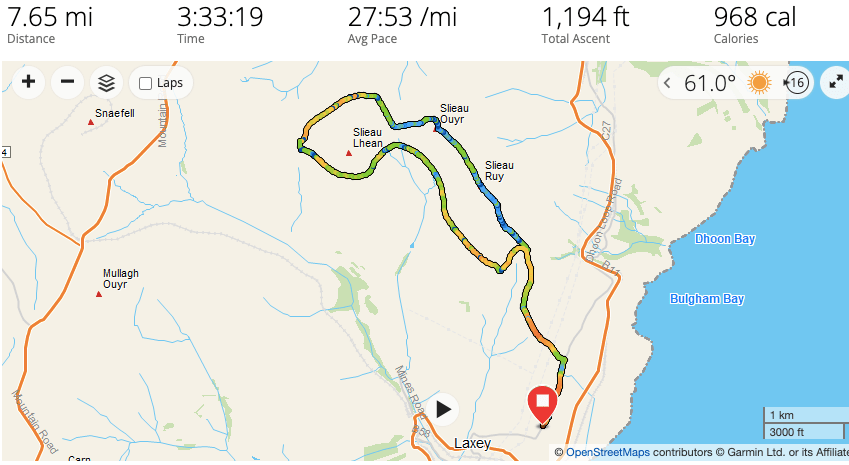
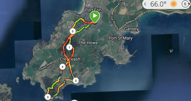
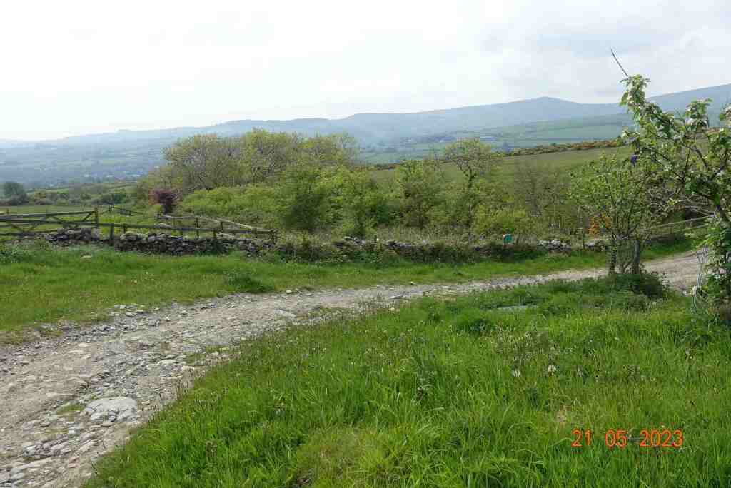
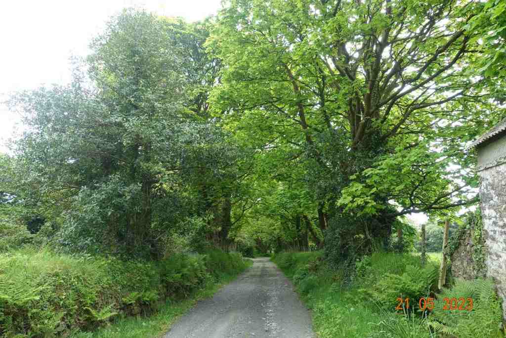
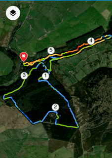
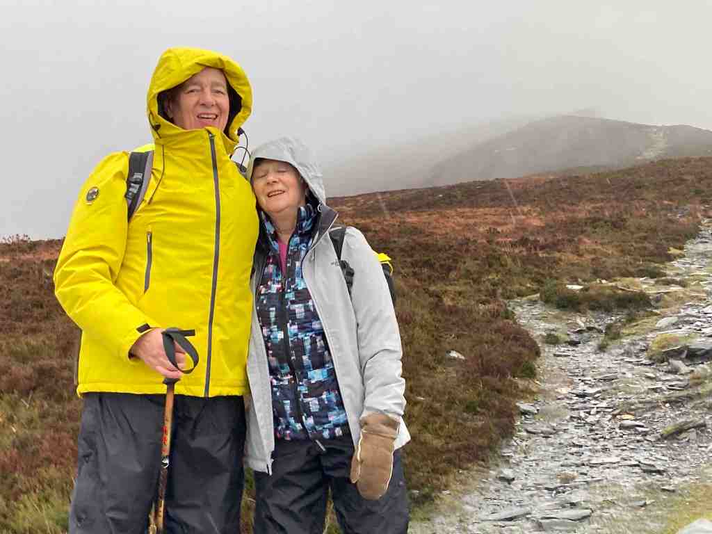
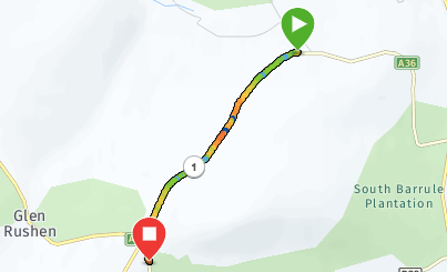
Today’s walk was part of a previous walk in reverse as I wanted to find out if there was a path or sheep track over the top of Slieau Lhean (469m). I parked the car on the minor road above Laxey before Ballachrink (which is actually the Raad Ny Foillan), and walked up the lane to where the right of way leads off onto the moors on the left.
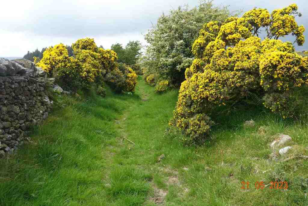
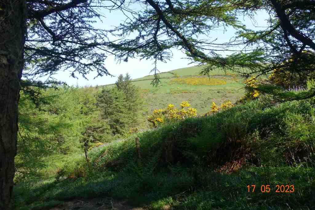
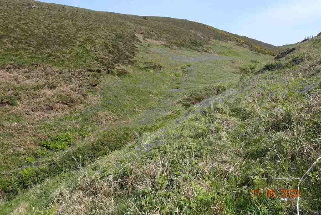
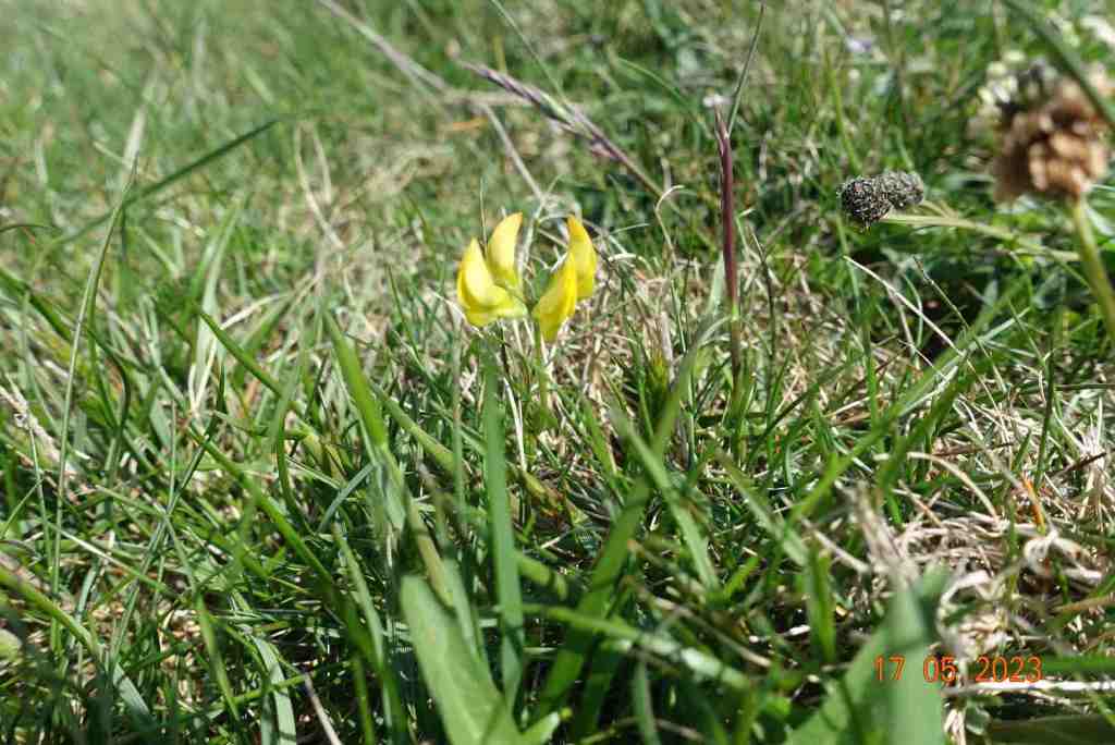
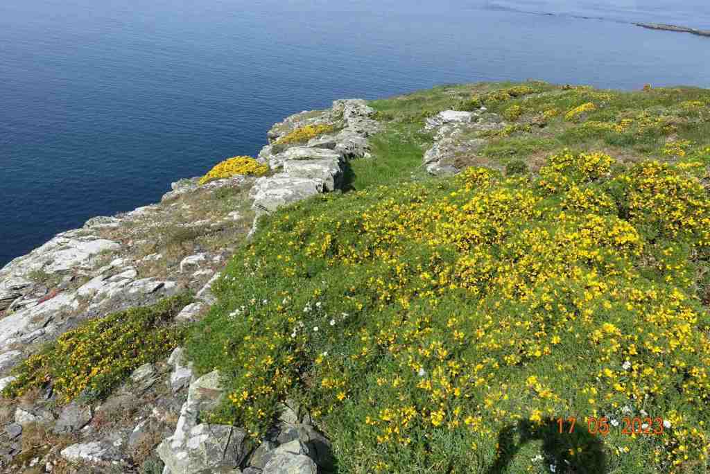
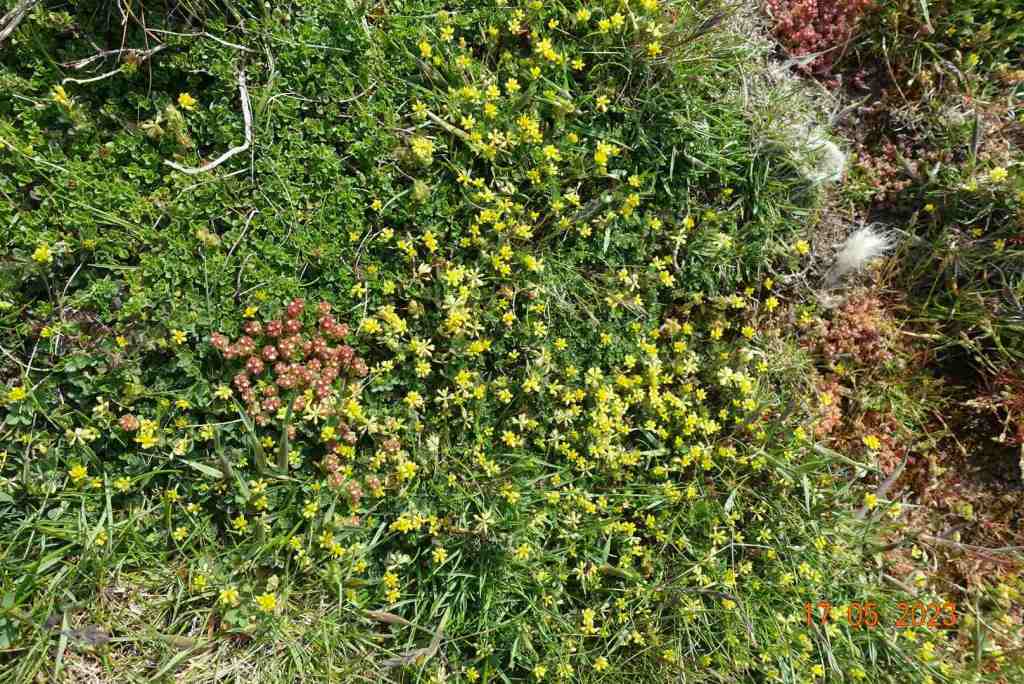
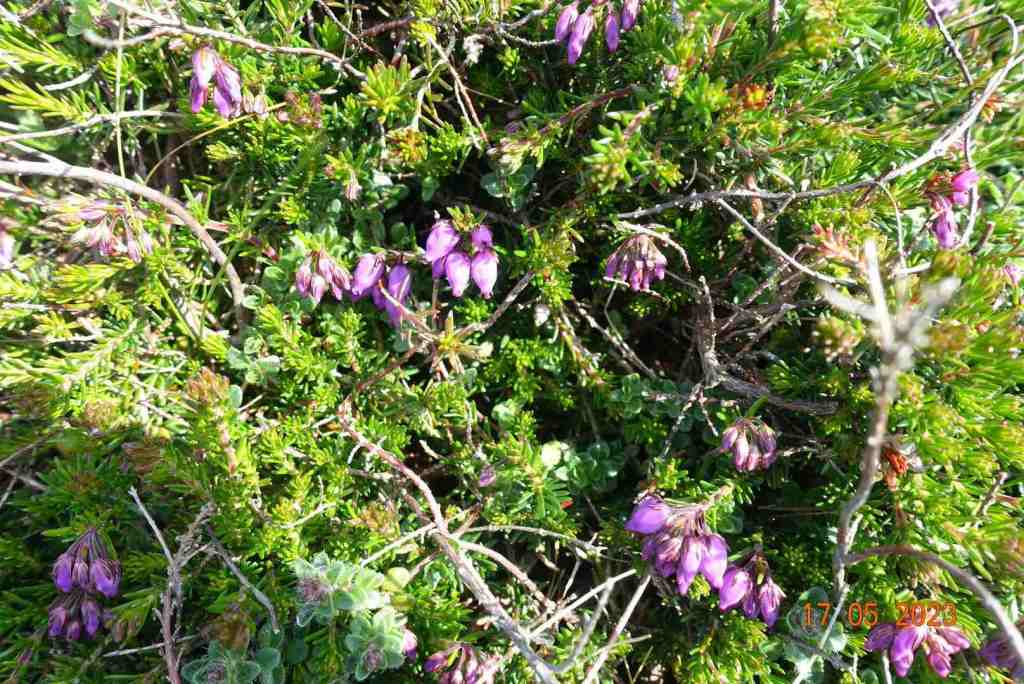
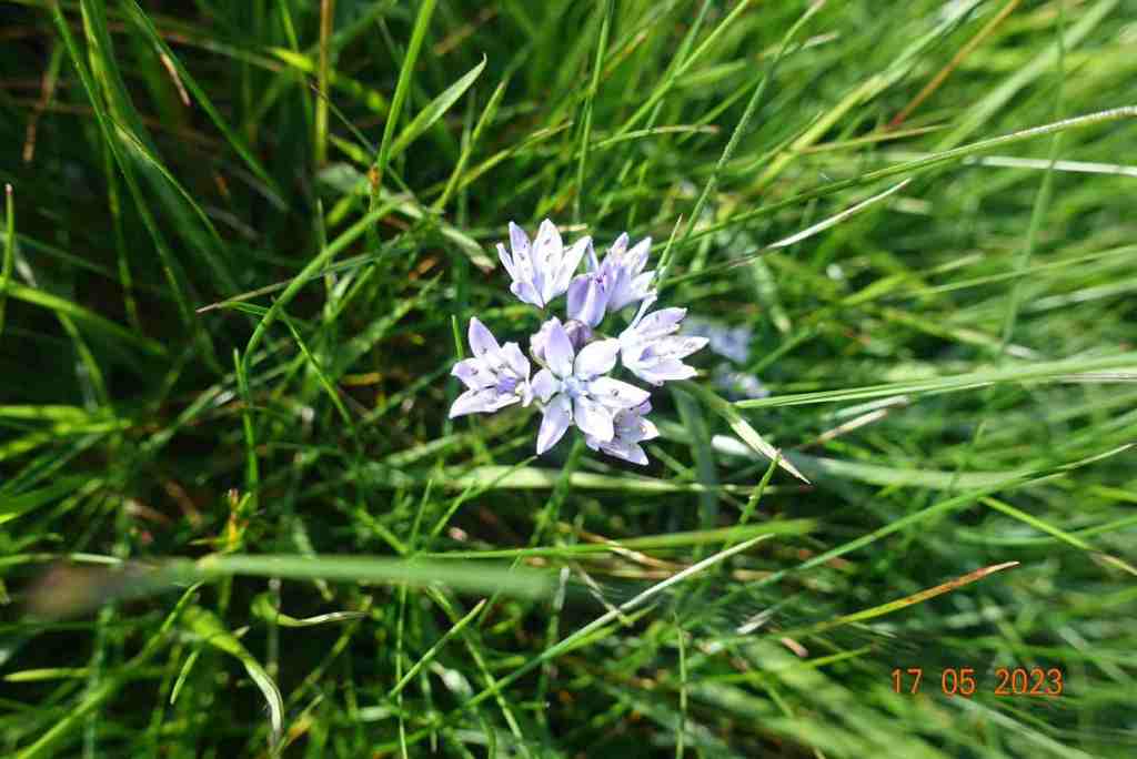
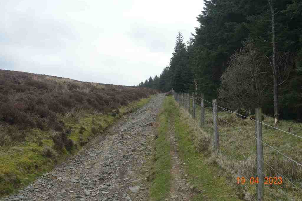
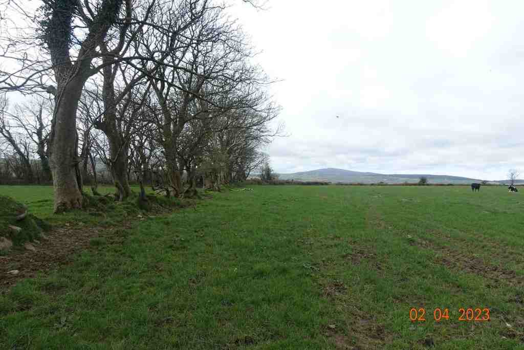
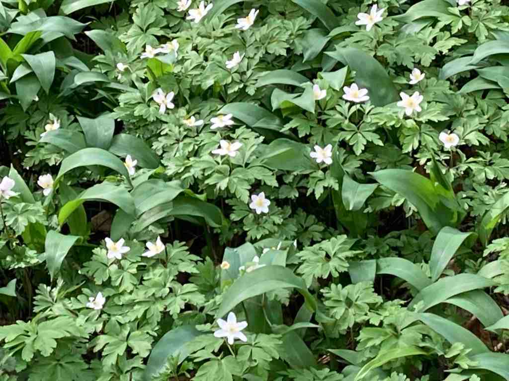
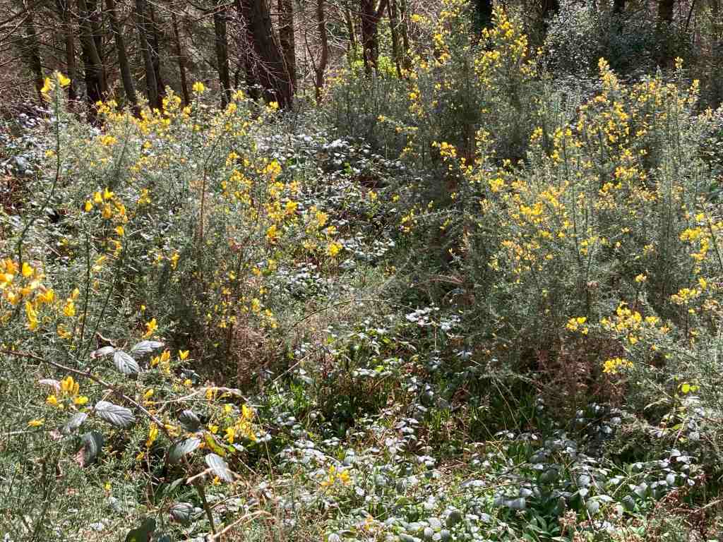
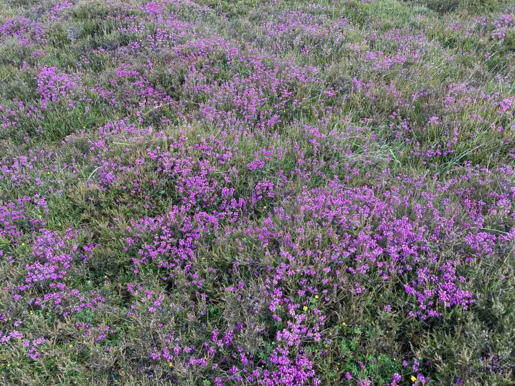
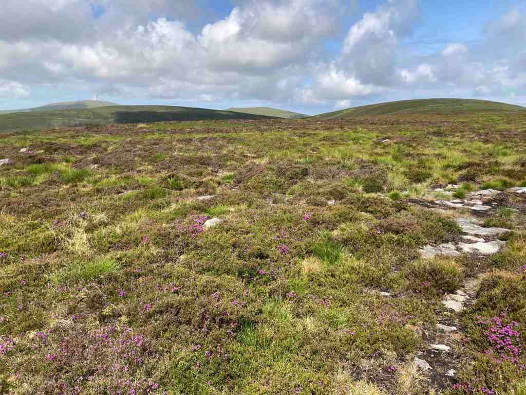
It was a bright sunny day, a change from the unremitting dull weather we have been having recently. Yes, I know, we had no rain for 5 or 6 weeks so we need some bad weather in between the good weather. It is a very gentle, steady climb once on the lane that goes nowhere, other than to a few houses and farm buildings. The lane stops abruptly at a field gate where it turns into a green lane, which means bikes and horses can use them. This is good in one way as it opens up the countryside to various forms of locomotion, but the bikes certainly mess up the tracks and pathways too. The track enters ‘The Dreem’, the Manx word for the back of a hill. After about half a mile, the eagle-eyed person will spot a tiny footpath leading off up the hill to Slieau Ruy (396m). We have several hills with this name and despite sounding regal it only means ‘red’, but in this case, it means the red of the purple heather, which was already flowering. I have never seen so much heather this early on in the summer.


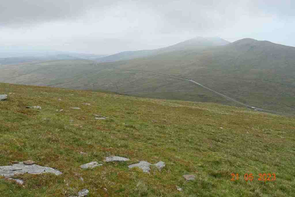
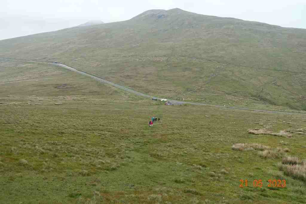
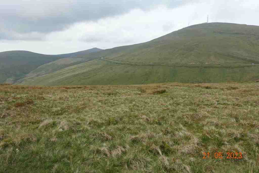
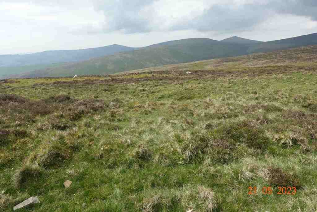
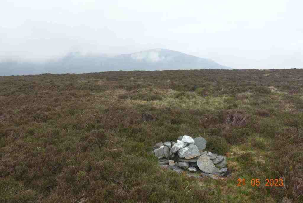
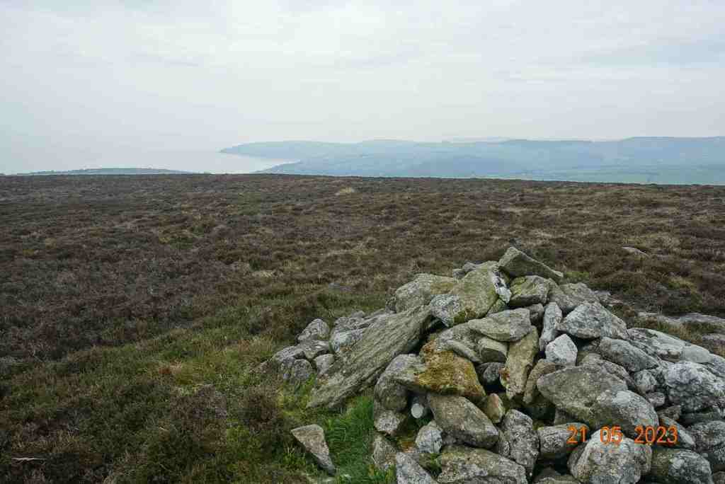
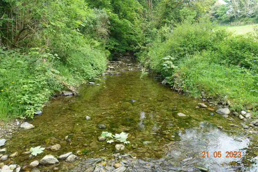
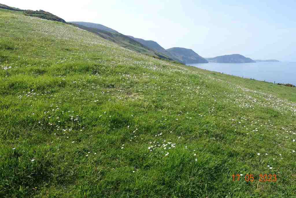
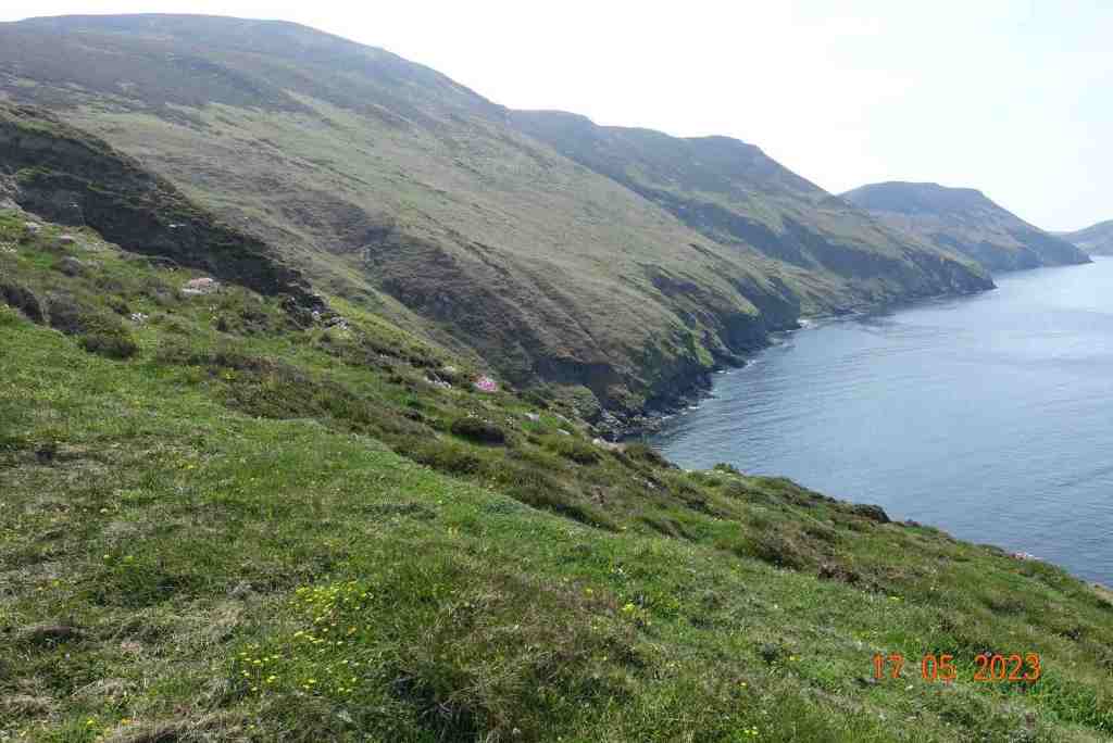
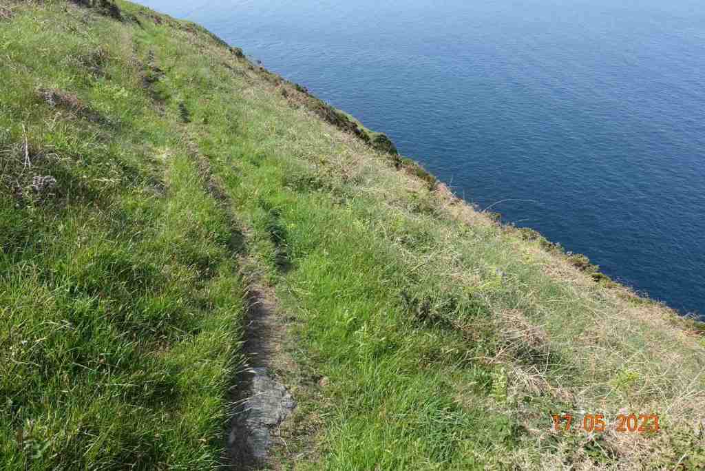
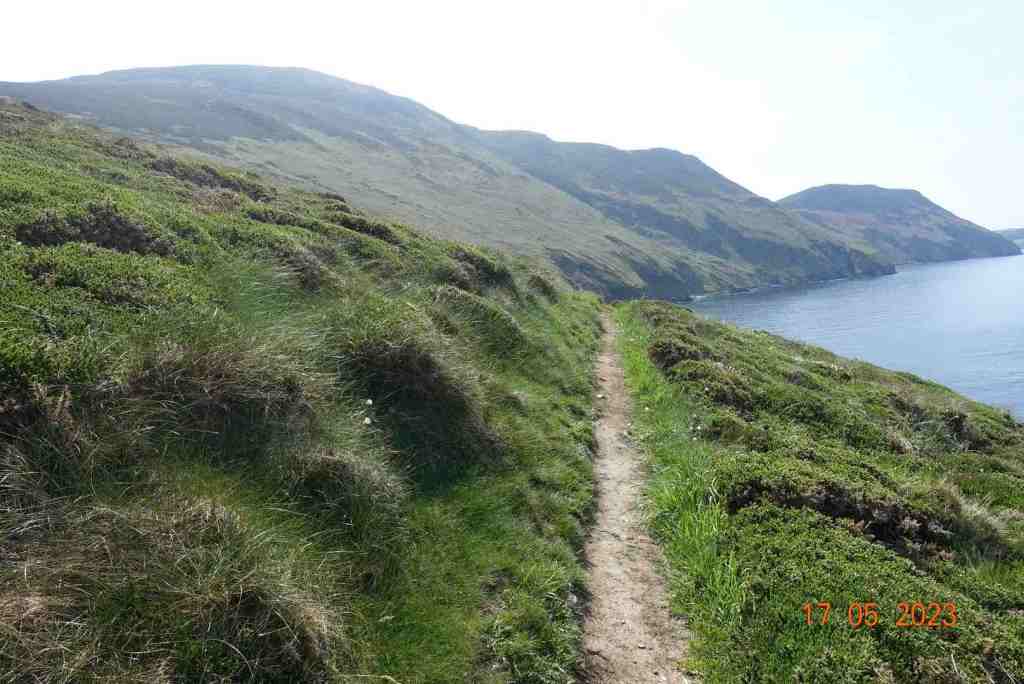
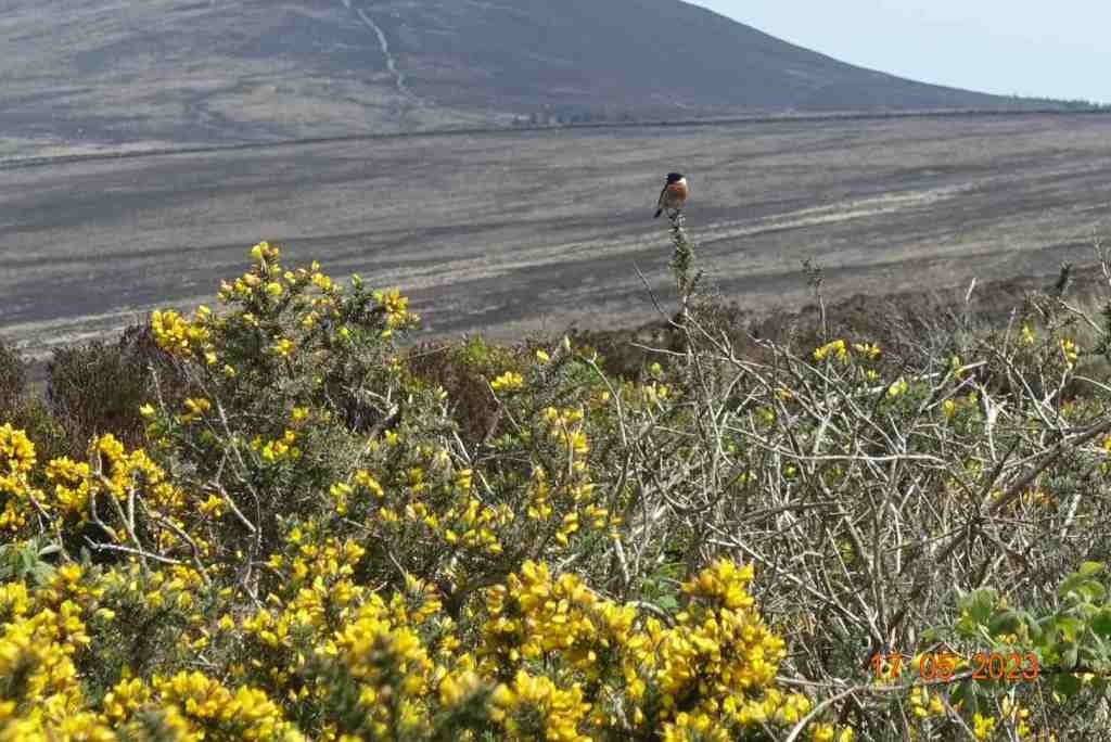
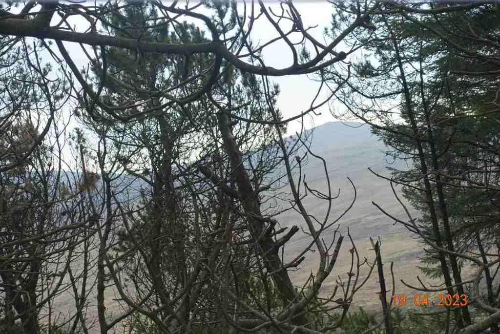
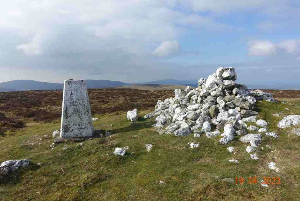
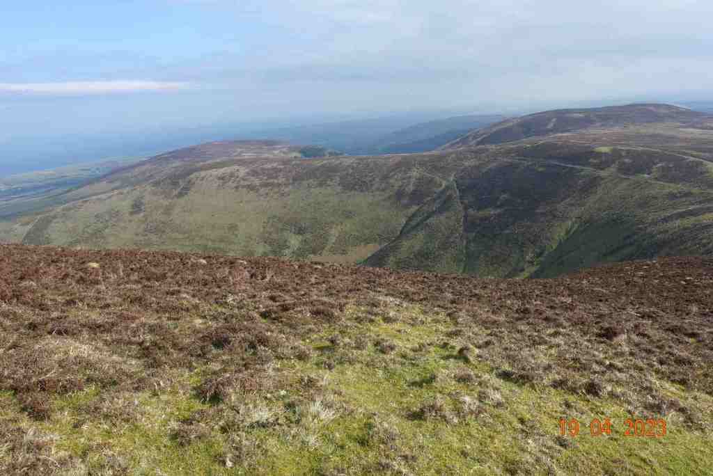
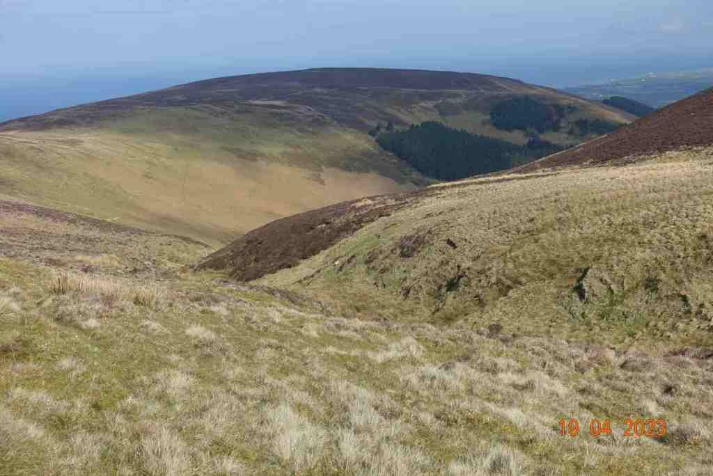
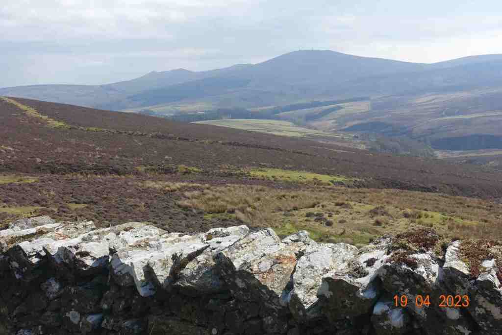
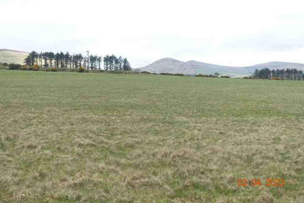
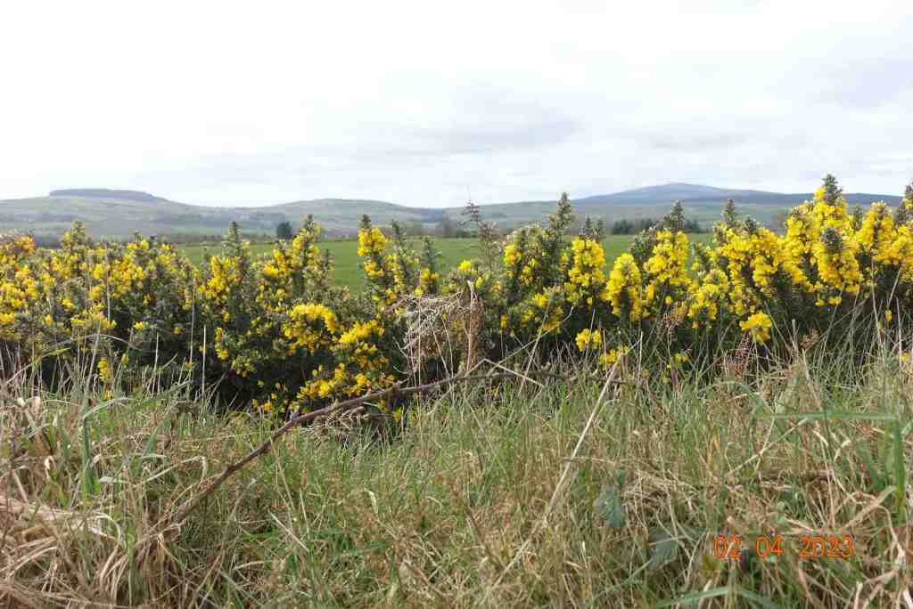
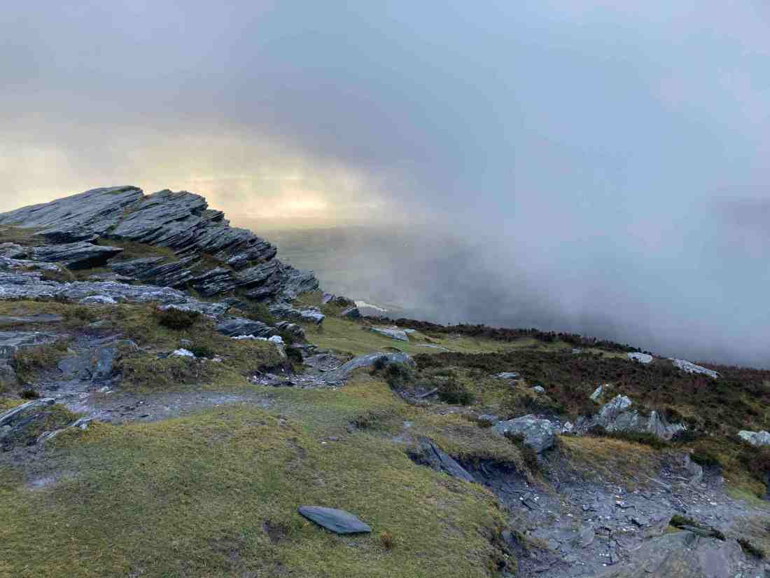
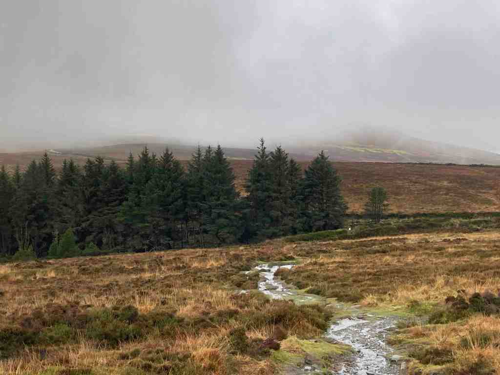
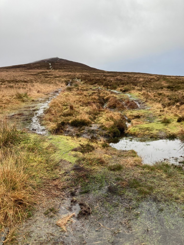
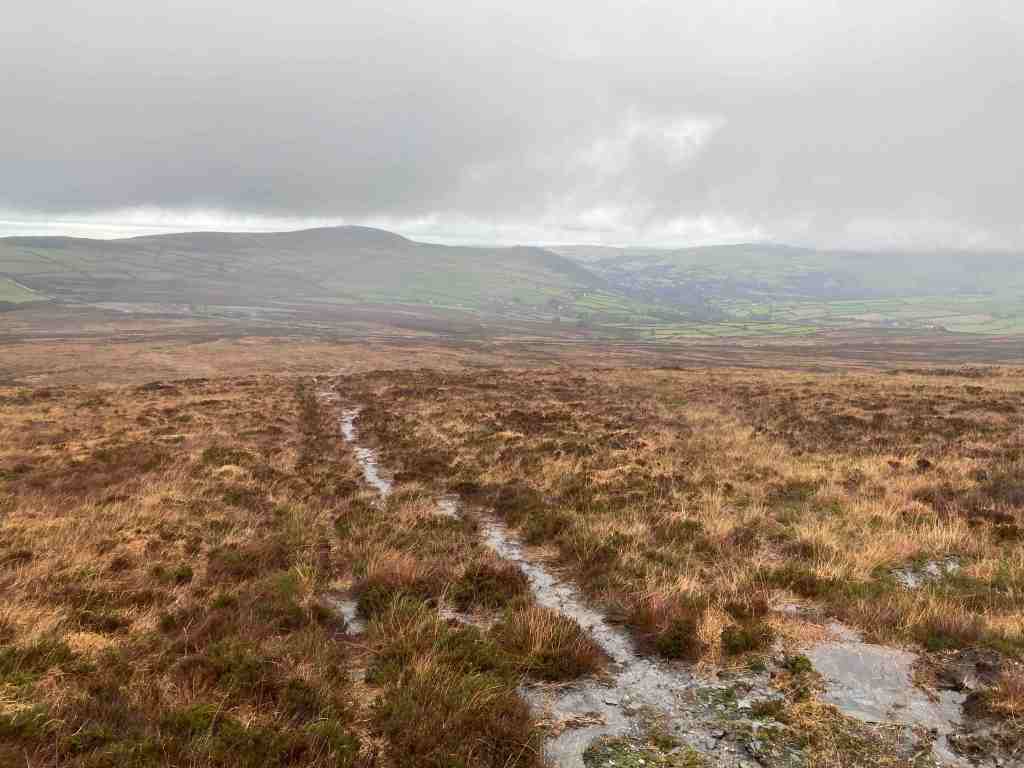
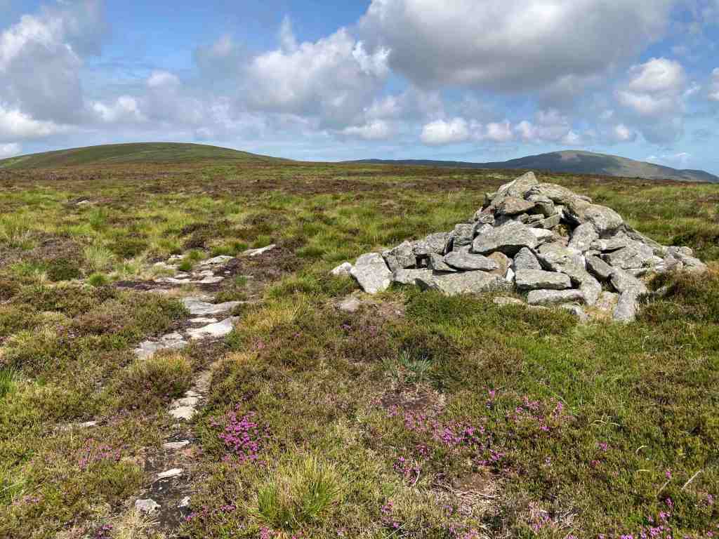
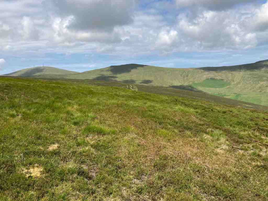
The steady climb continues until you reach a false summit with a cairn, but it isn’t actually at the top, so it more of a waymarker. However, as you climb, the vista begins to open up especially to the south and east and you get good views of Maughold as well as distant views to Douglas and beyond. You can imagine in your mind’s eye the Creg Ny Baa (rock of the cow !?) and the mountain road to the south of Windy Gap. After Slieau Ruy there is a plateau of heather and grass before another short climb up to Slieua Ouyr (yes, you guessed it – ouyr means yellow, as in ochre). It is worth heading off the path a little to the north to get the best views of the Corany Valley and Ramsey. You cannot miss the sausage shape of the North Barrule hills which dominate this landscape. It was at this point I needed to hunt for a new path, and find one I did. It leads down to the gap between Slieau Ouyr and Slieau Lhean (meaning broad and long). The map indicates there are cairns but I didn’t see any. This is a watershed where one half flows down into the Laxey valley and the other half flows into the North Laxey Mine area. There is a faint path going up Slieau Lhean but I gave this a miss, in favour of a wide, grassy track to the north, which eventually joins the Glen Mona track. Distances are so deceptive; hills look to be a stone’s throw away yet take an age to go round or over them.


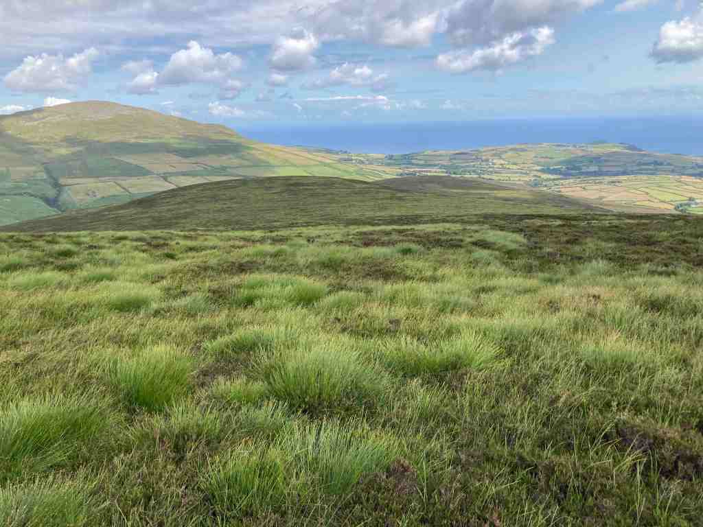
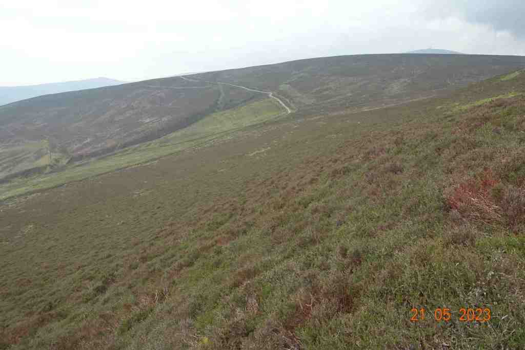
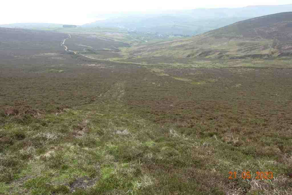
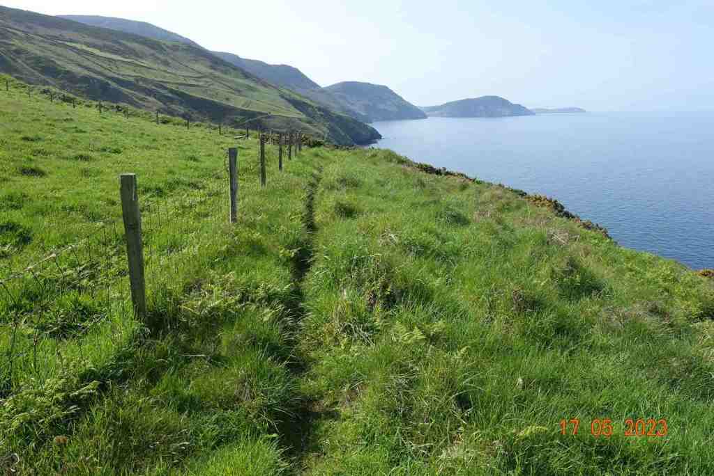
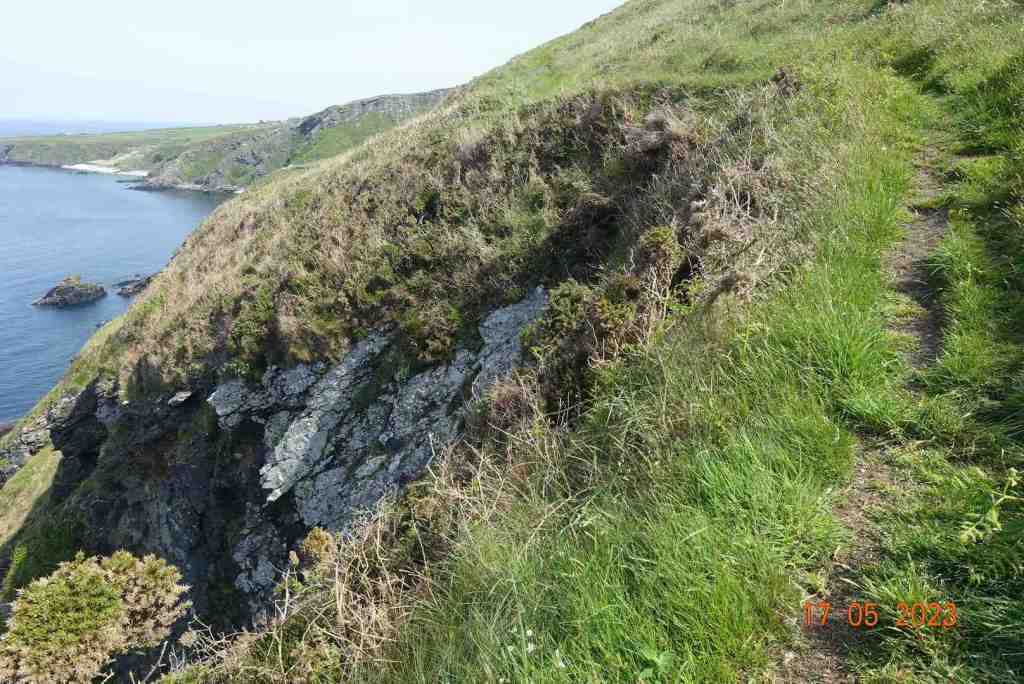
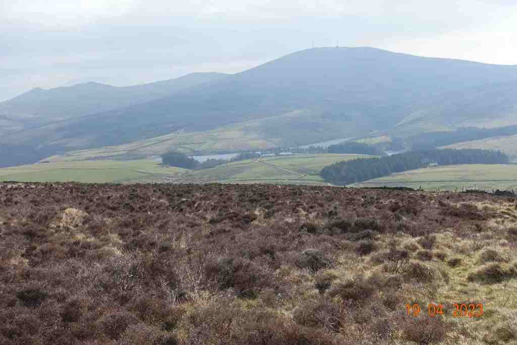
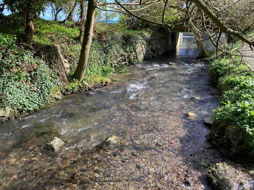
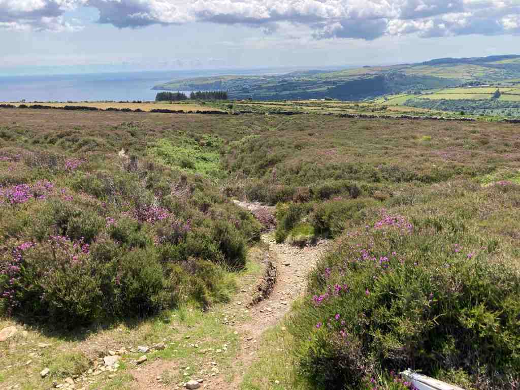
This was the furthest point for me today. I had already walked 3-4 miles, so I knew it would be the same amount back again. This time, I took the track to the south around the hills; this meanders very slowly all the way around the three hills but now, instead of seeing the big bullies of Barrule, we see the softer side of the hills as they gently roll down to the sea. We pass over the watershed again this time on the south side, where it has the name of Glion Ruy, red creek, which when you see it seems very apt. This track is not my favourite, as it is stony and awkward in places, but it is possible to walk on the grass just to one side most of the time.


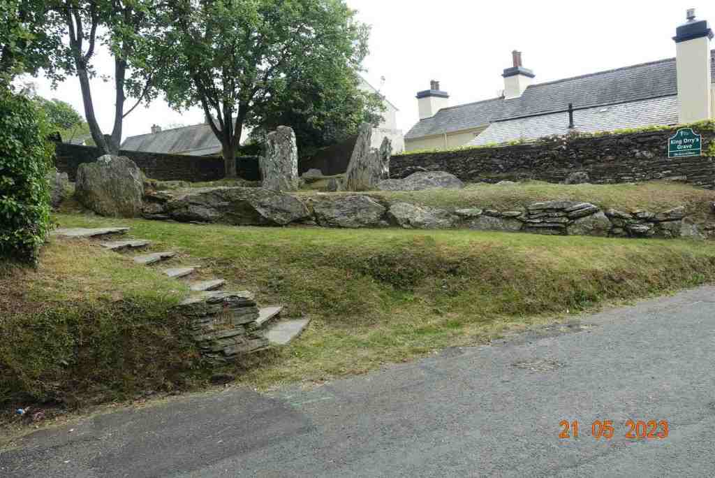
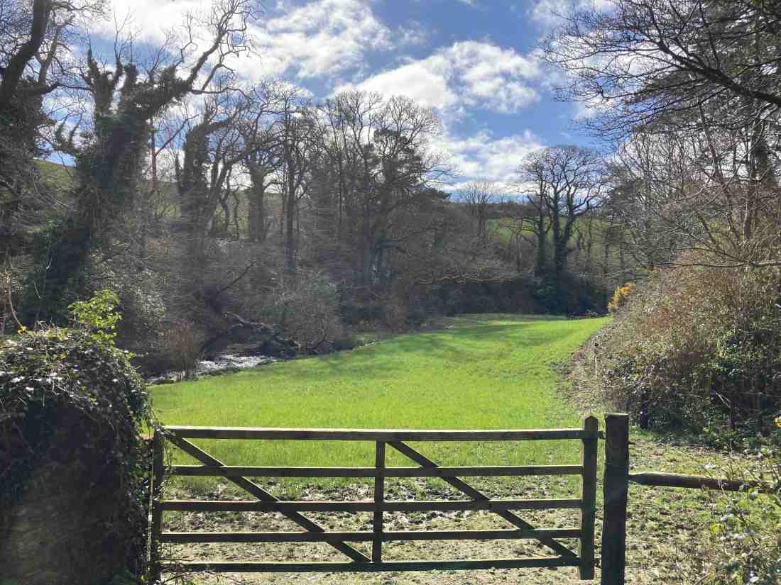
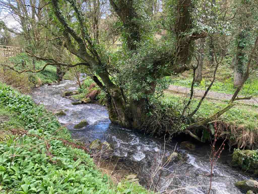
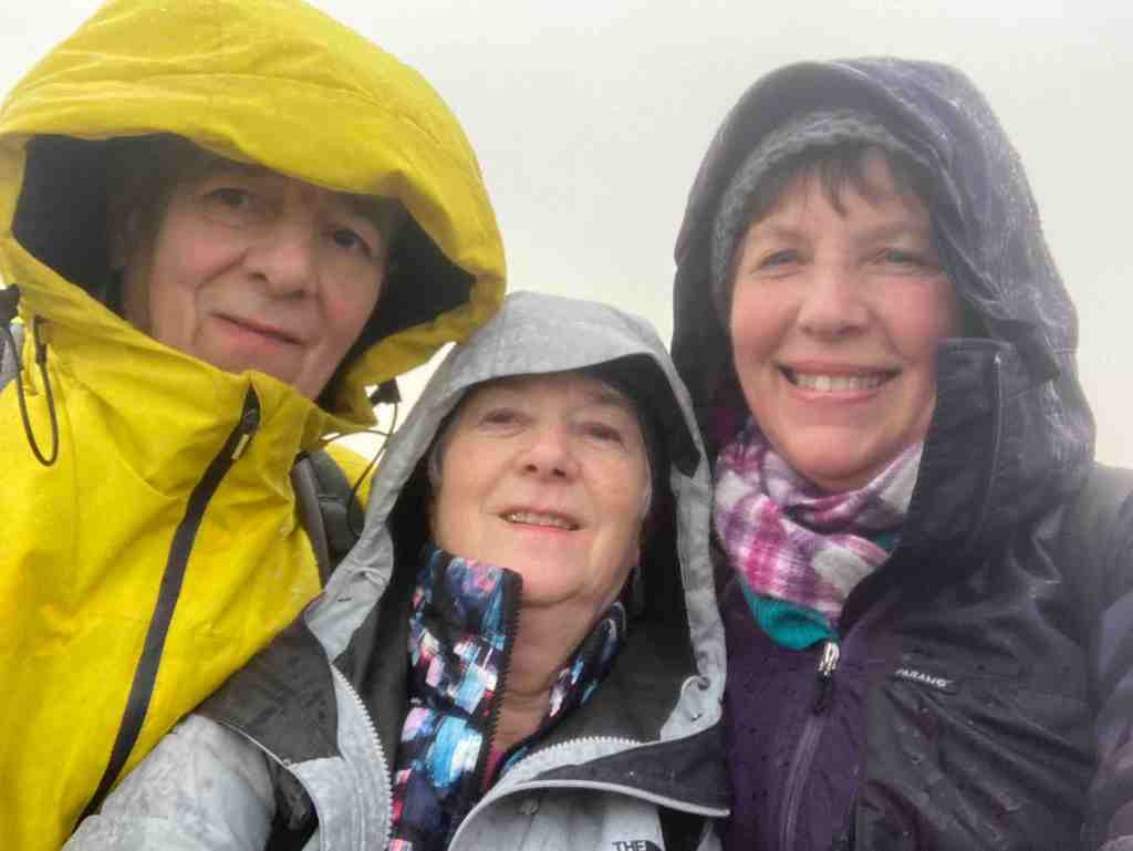
I was retracing this route for the Southport U3A group as I so want them to walk along the tops if there is a suitable way, and in this I succeeded. However, if you stay on the track, rather than walk on the tops it is not necessary to continue all the way. There is a small footpath that leads directly towards the canopy of trees which leads down to King Orry’s Graves, so if you wish you can miss out about half a mile of unpopular track walking!
That was it for today. I should just mention that although not a difficult walk, there is far more uphill walking (just under 1,200ft) than if you walk it the other way round, from Snaefell. As I was finishing the walk a holiday organiser rang me to confirm that I had got the last possible space on a train trip to Austria. I was so delighted I didn’t re-check my diary and managed to book myself on a wonderful holiday at precisely the same time as I was due to lead the Southport group on their walks. When I realised this I was devastated, but I am sure it will all work out. I can at least do one day with them. How ironic is that when you think I had gone out today specifically to recce a walk for them. That momentous birthday that crept up on me last week may be signalling a faster deterioration in my mental abilities than I am aware of!!!
I won’t be doing much walking over the next few weeks as my son, Matthew, and his son, Thomas, are coming over to the Isle of Man and then we are going to the Lake District (they for longer than me), but I will post as soon as I can.
Distance 7.65 miles, Ascent 1194 ft; Descent 1161 ft. Min Elevation 483ft; max Elevation 1507 ft