Curbar Edge, Froggatt Edge and White Edge

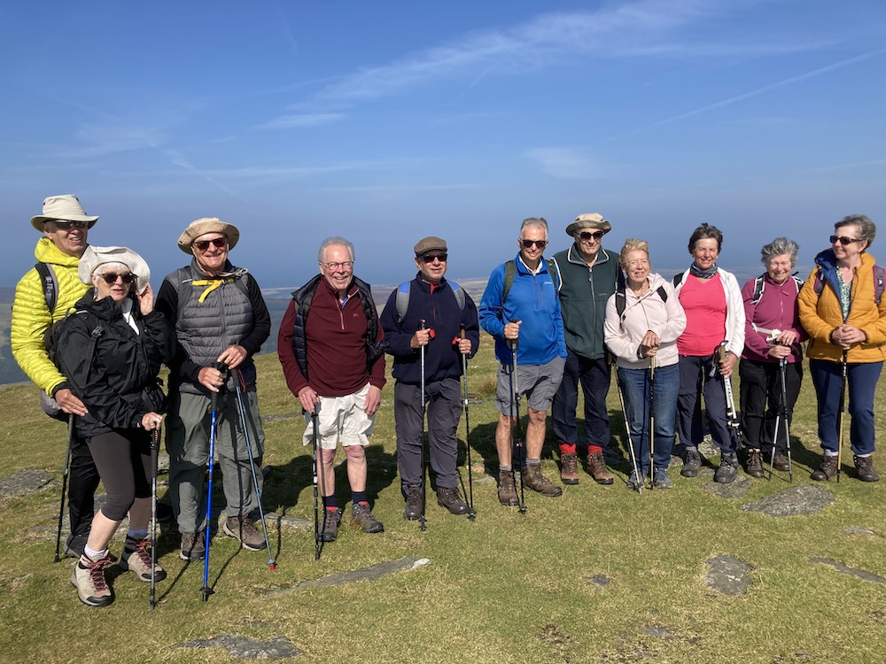
A brief update before I describe this lovely walk. I see my last post was in January. Where has the time gone? Well, I can tell you, actually. For most of the time, I have been harbouring a spinal problem which has created unimaginable pain down my right leg on walking, and surprisingly severe pain across the top of the foot. You wouldn’t believe how incapacitating that kind of foot problem is. So, for several months I have been developing an exercise programme for myself, which has been very successful and I am pleased to say, I walked over 6 miles yesterday and another 3+ miles today, with barely a hint of symptoms.

On top of this, 3 weeks ago I broke a rib – ok, I’ve broken ribs before, but this time, a few days later, I developed a nasty chest infection which is being very persistent. I feel as if I should be well, even with the remnants of this chest infection, but out walking yesterday I began to feel quite ill and I overheated and had to take unusual but effective remedial action to get me back to my car. So, I’m clearly not quite out of the woods yet. One day, I shall have to accept that I am getting older! I hope I am now back on my feet and once I have moved in 4 weeks time, I shall be able to get out and about and share more of the lovely Derbyshire countryside with you.

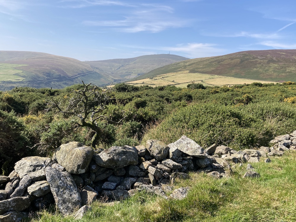
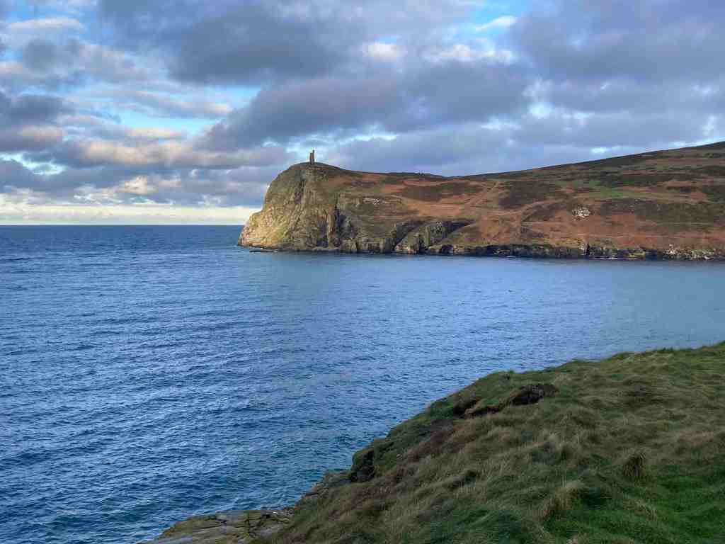
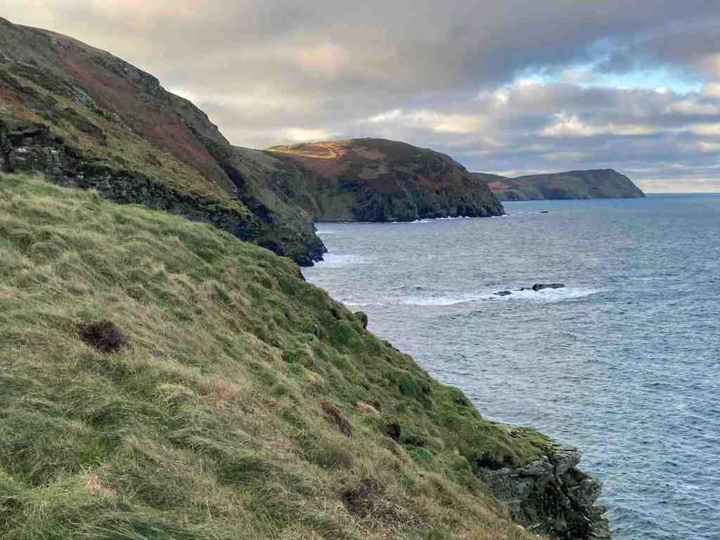
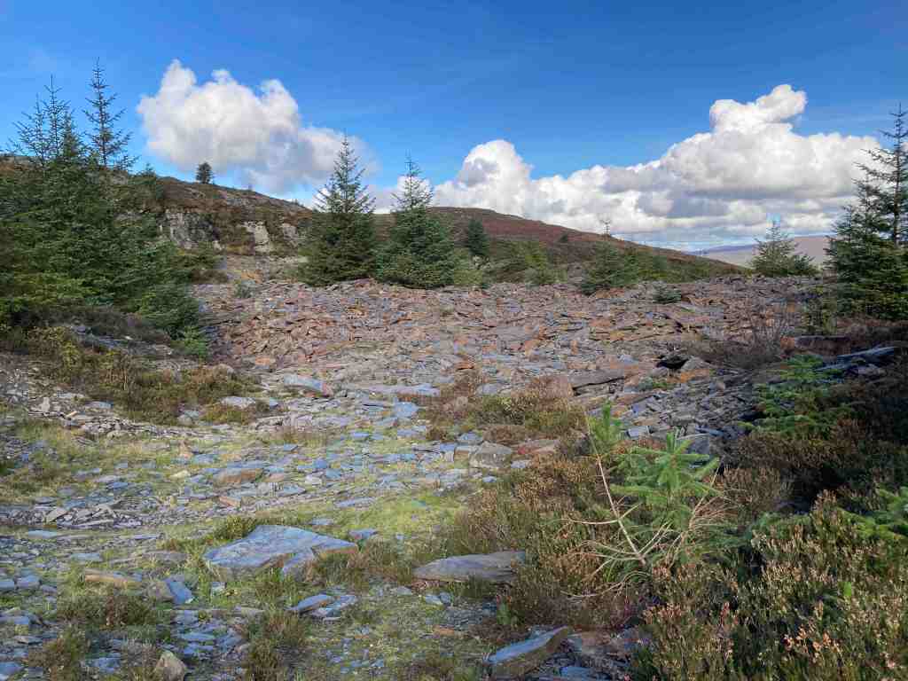
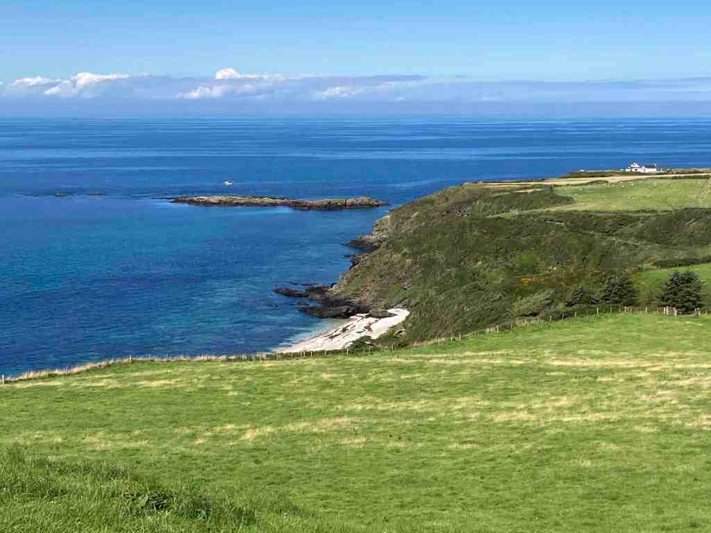
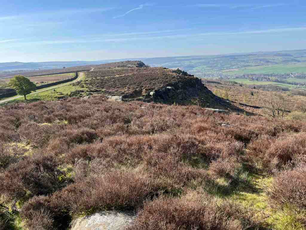
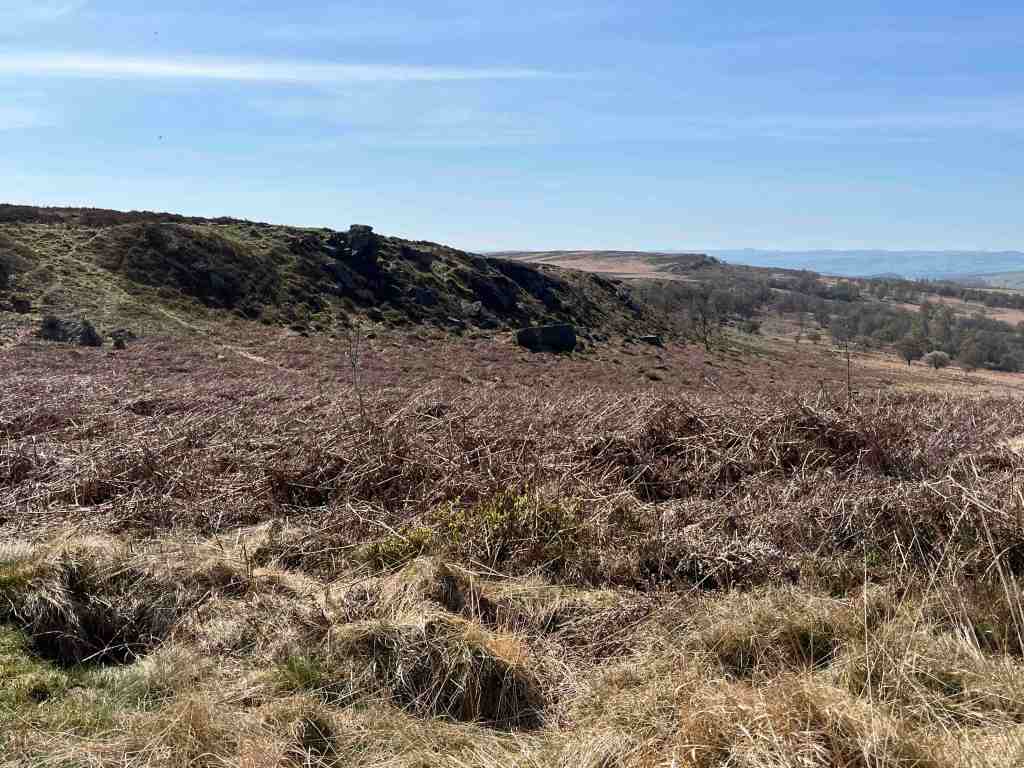
The ‘Edges’ in Derbyshire are magnificent. They protrude from the valley up to a majestic height of 340 metres (1112 ft), although Curbar village is already 118 metres (387ft) high. It doesn’t seem quite so impressive now until you see them, as they are sheer blocks of grey gritstone creating quite a drama against the sky. These are perfect for rock climbing and abseiling, which I remember doing many years ago on these very rocks.

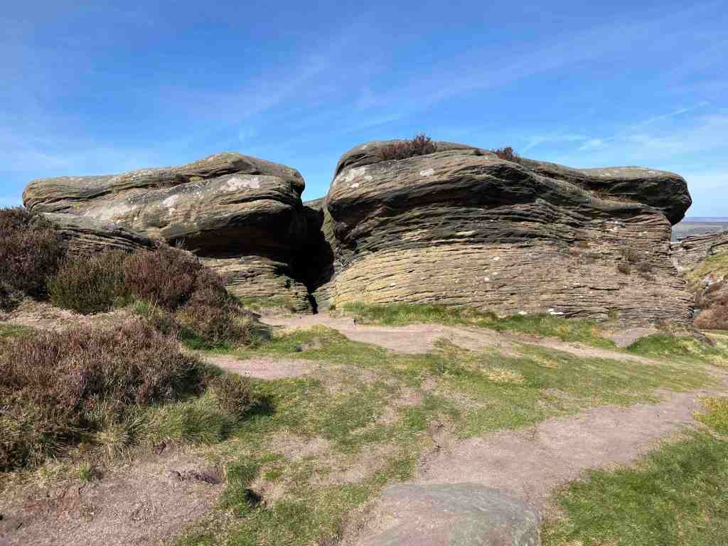
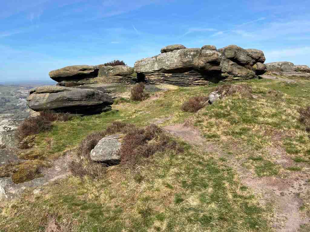
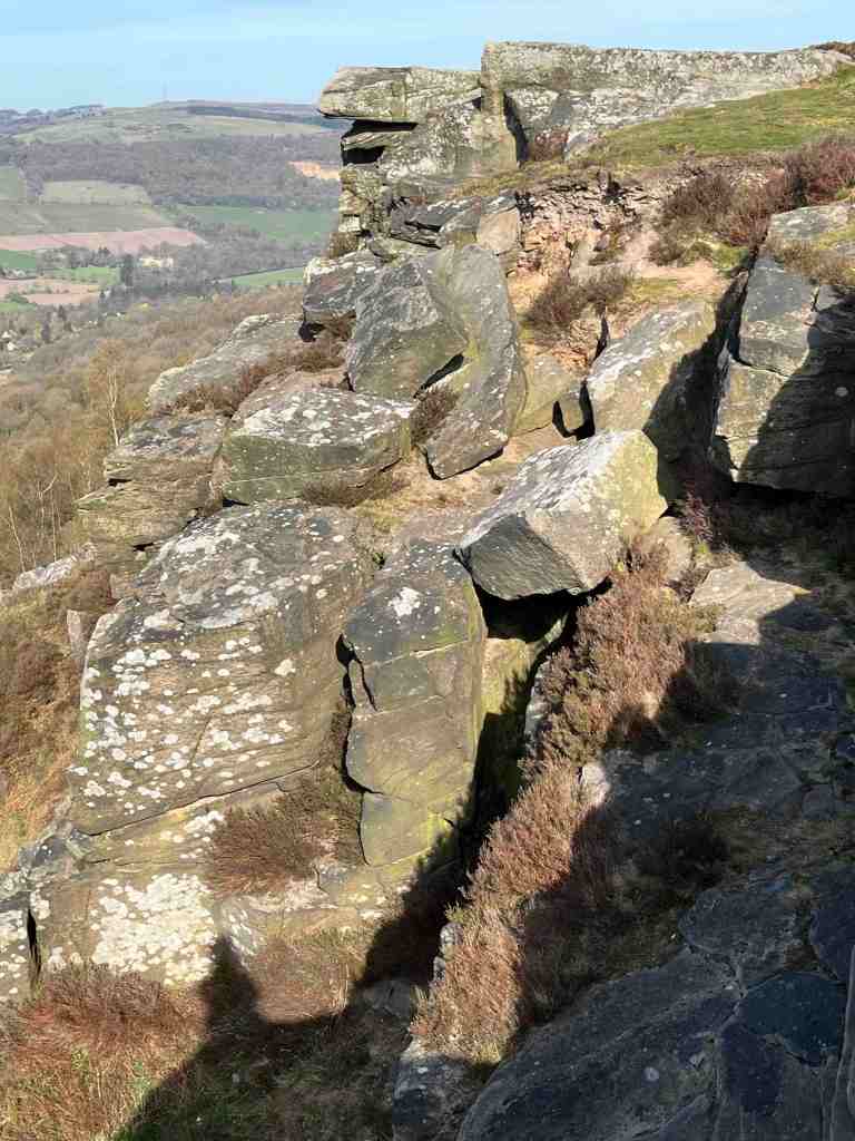
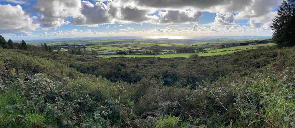
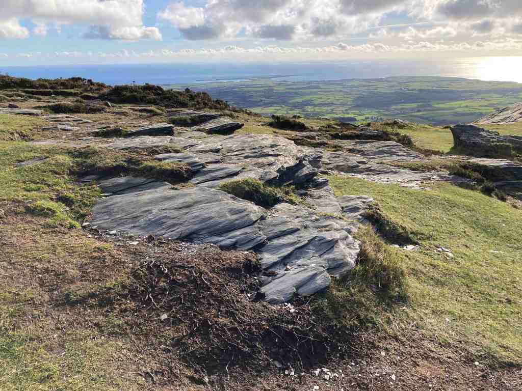
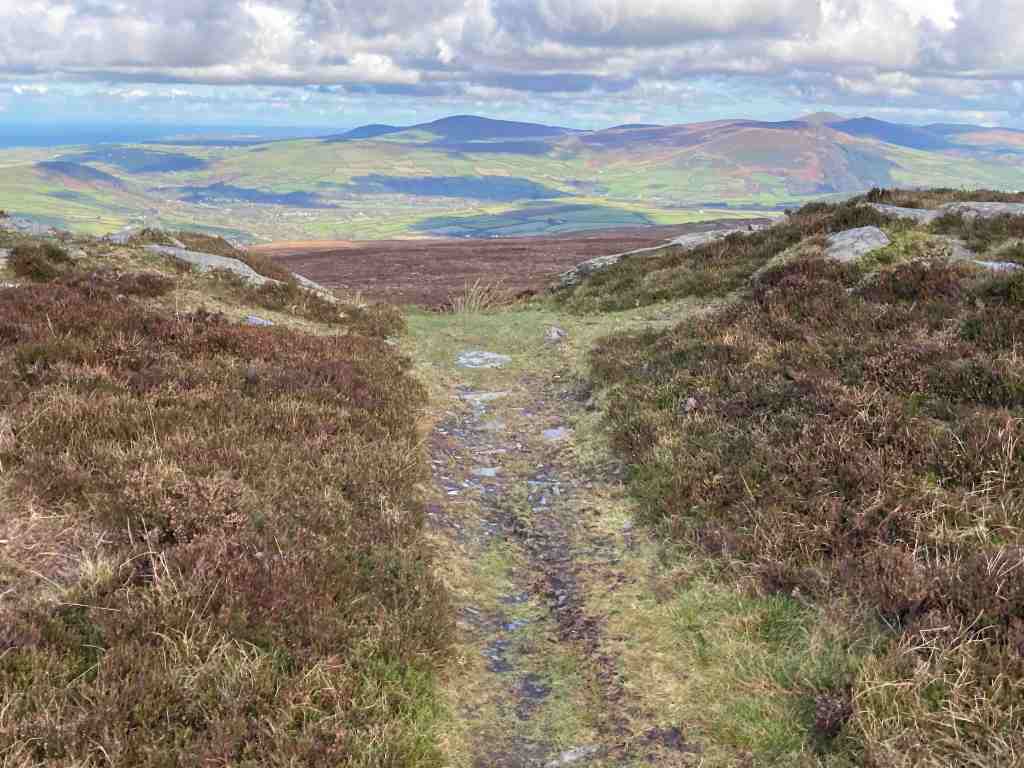
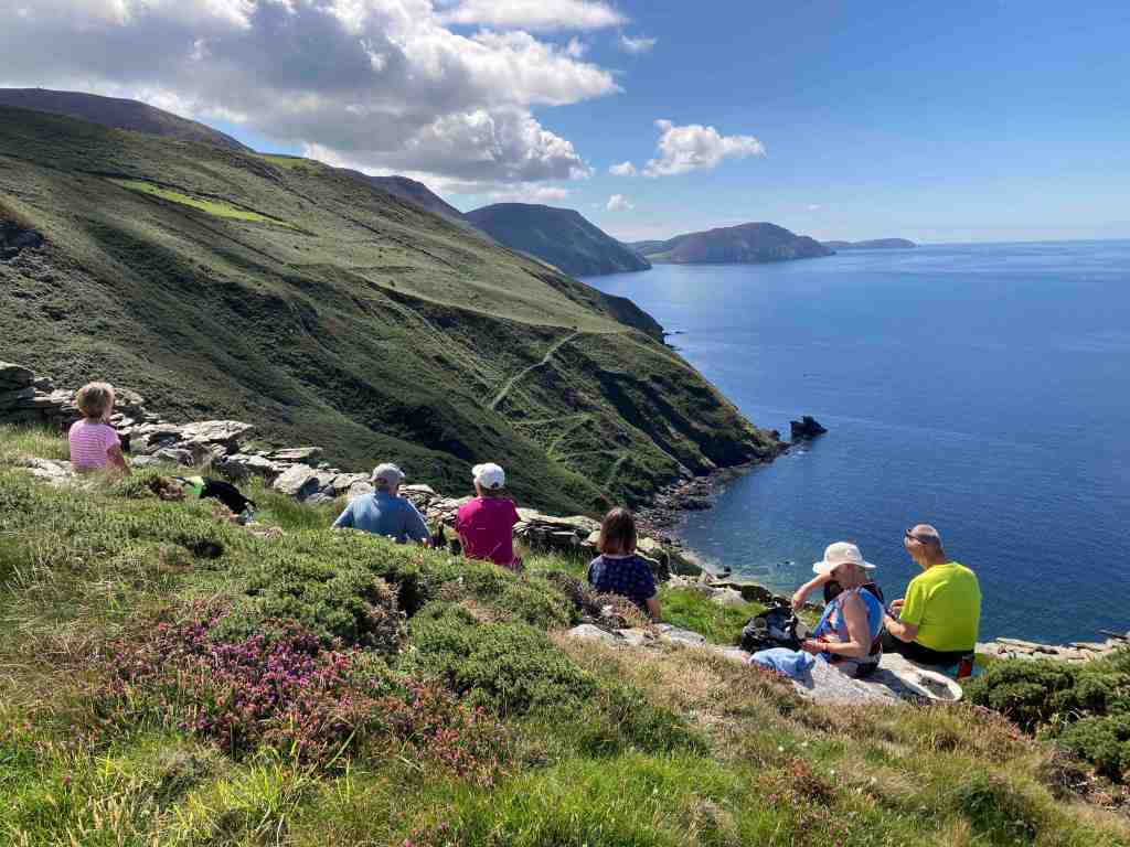
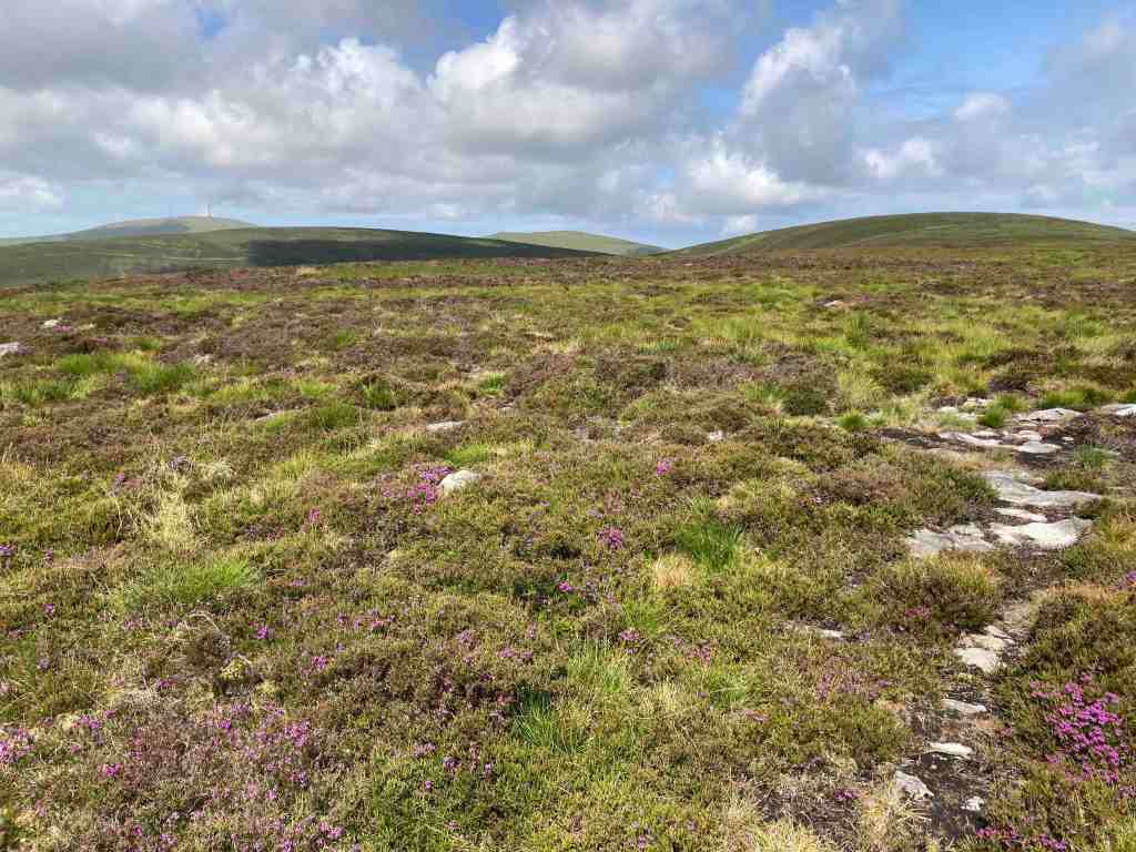
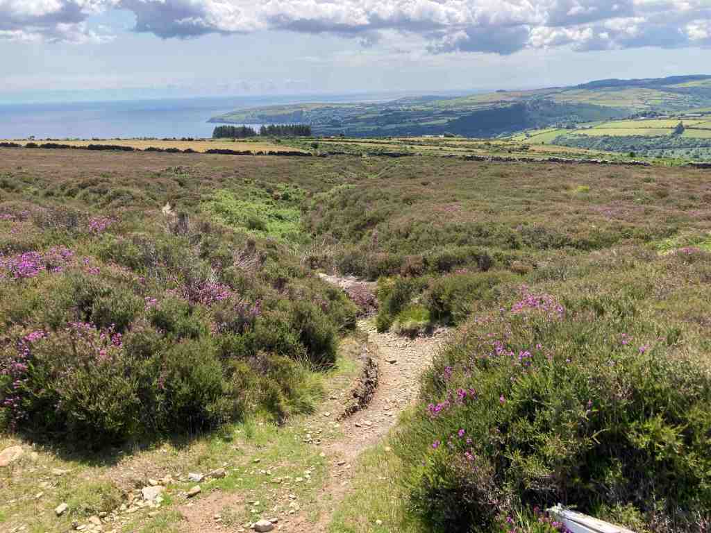
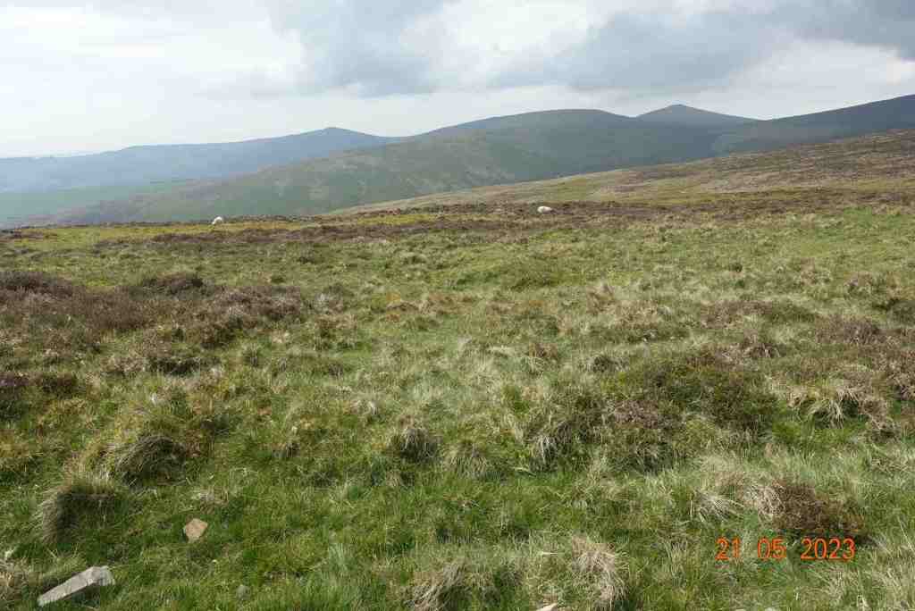
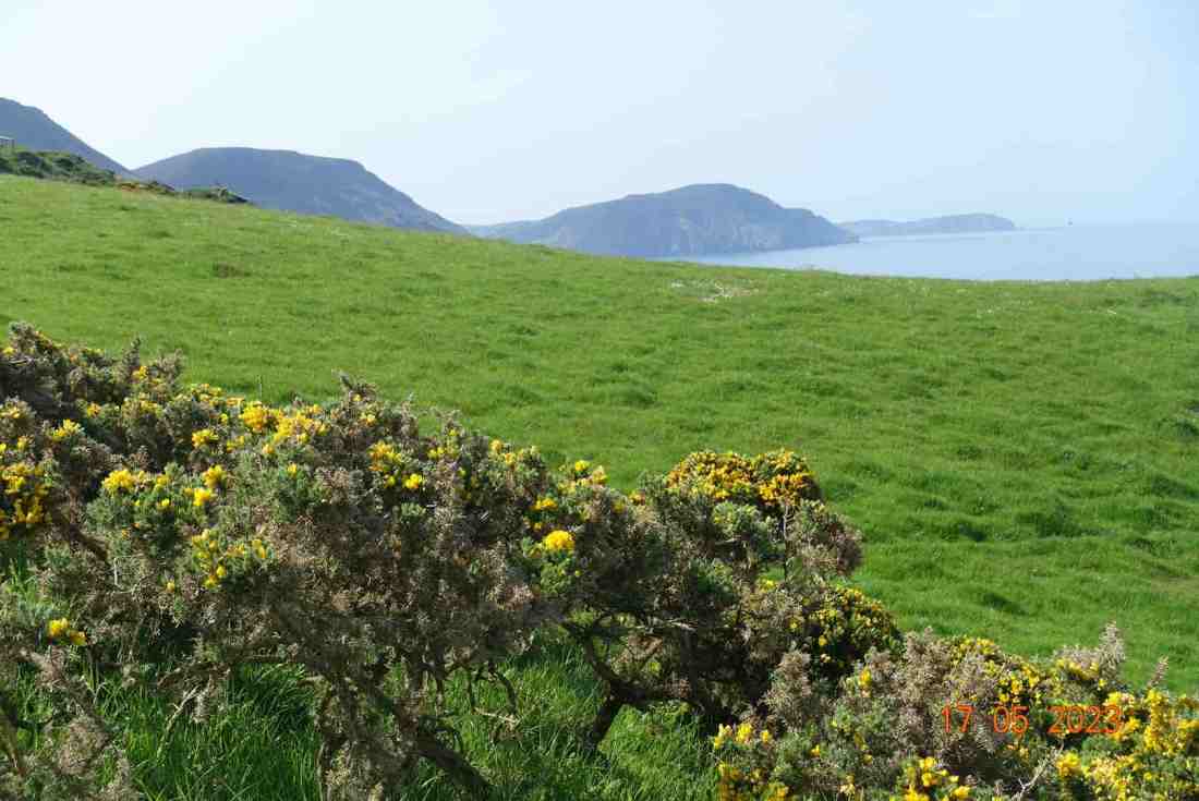
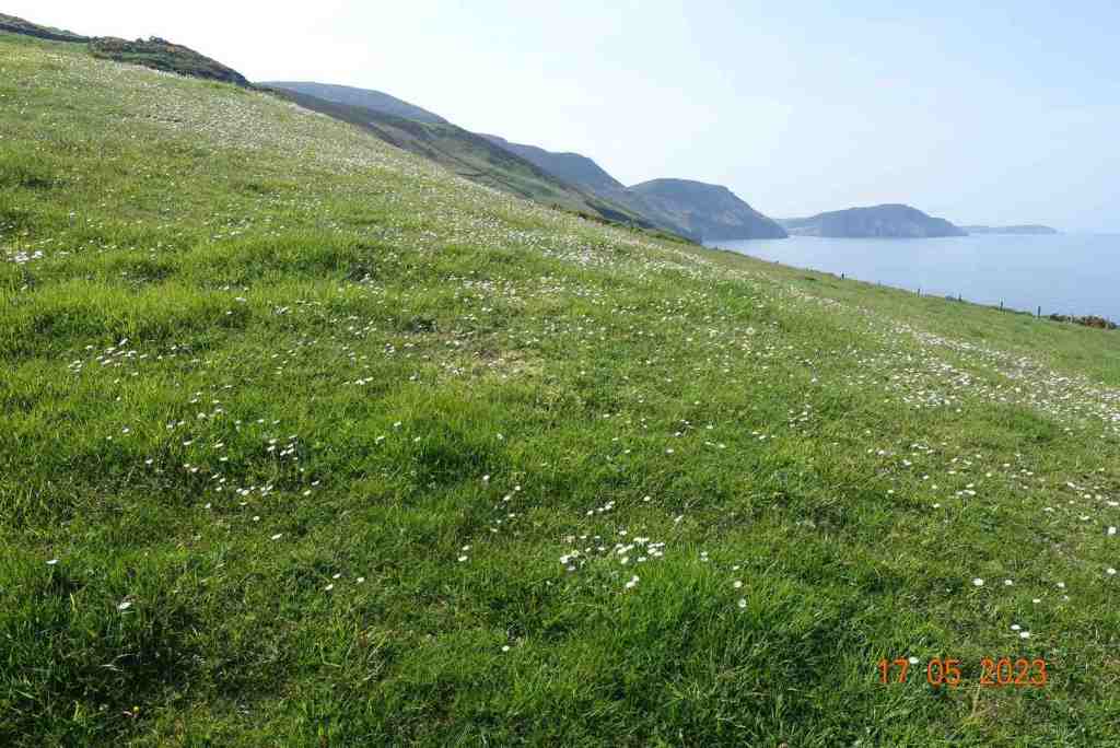
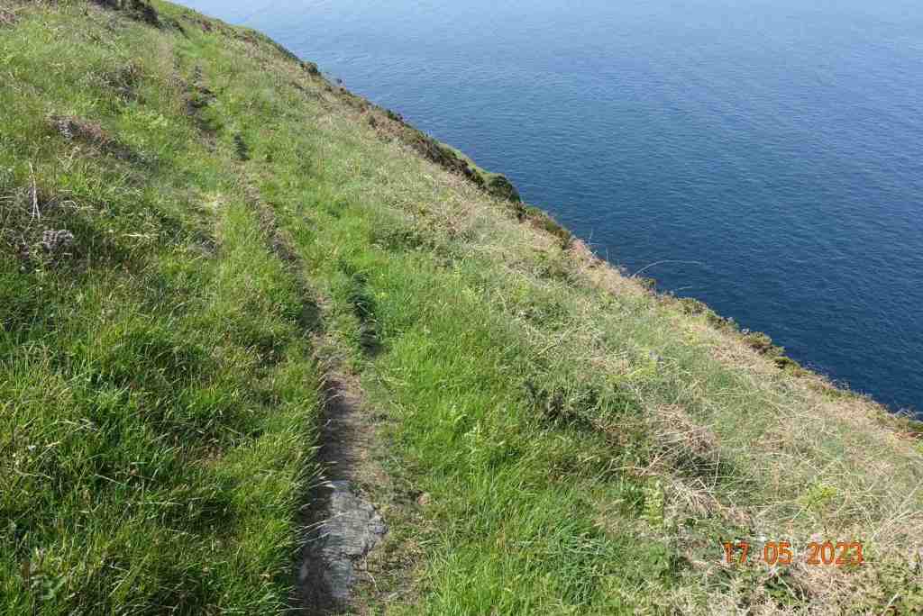
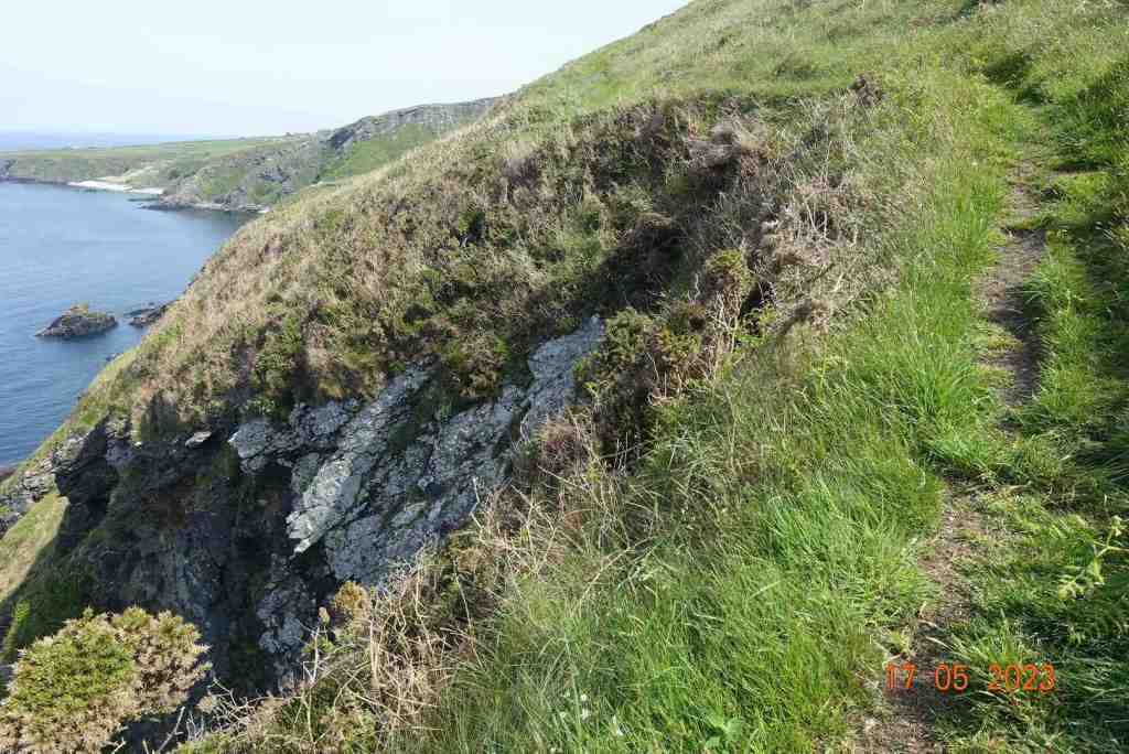
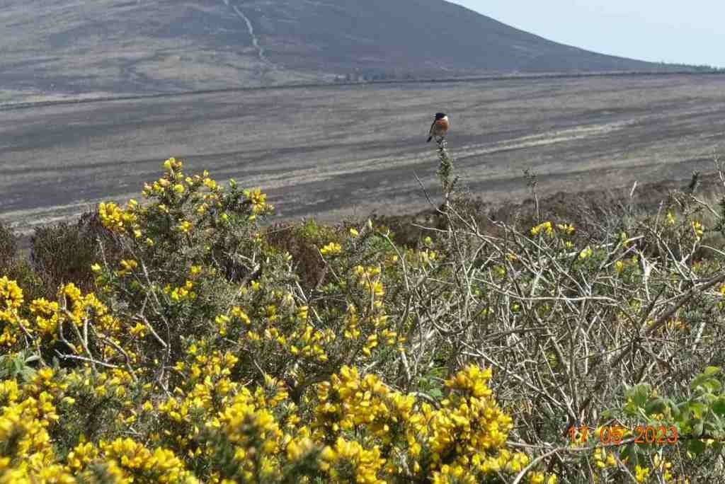
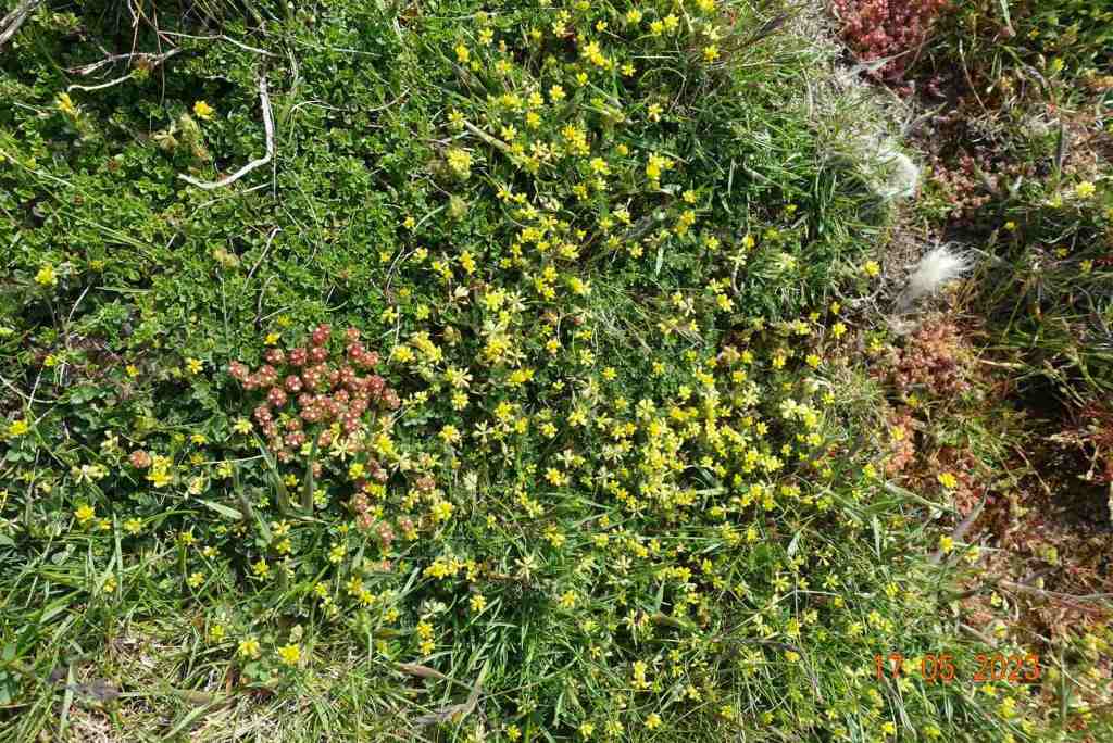
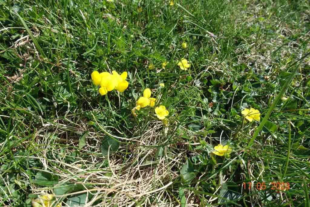
This walk starts at the top at Curbar Gap (what three words – windows. fountain. precluded). The car park isn’t huge and this is a very popular area, so plan an early start. There is a fee to pay, which is free to NT members. One of my aims was to look for suitable vistas for our Painting for Pleasure group to replicate. Straight away, not far at all from the car park, is a seating area providing wonderful views across the valley and towards Baslow Edge to the south. The paths thereafter are easy, though you will still have to negotiate a few boulders from time to time; the main path is wide and sandy/soily and you can also walk on the grass and boulders parallel to the main path, which is more interesting but does require nimble footwork from time to time. Every few feet along the way, you are treated to wonderful rock formations, and your eyes stretch out into the distance as you gaze at the Dark Peaks in the north. These rocks have plenty of flat sitting stones where you can stop and paint, or simply admire the views.

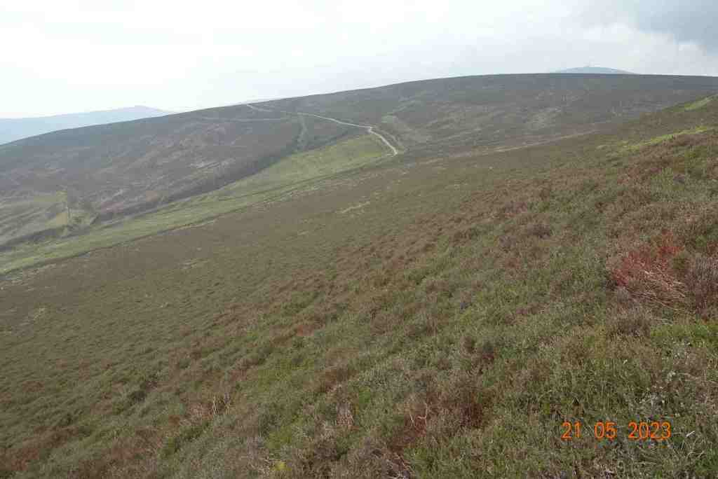
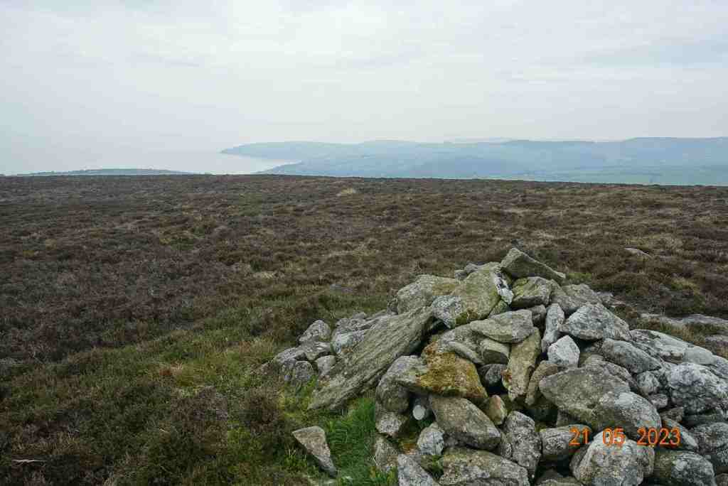
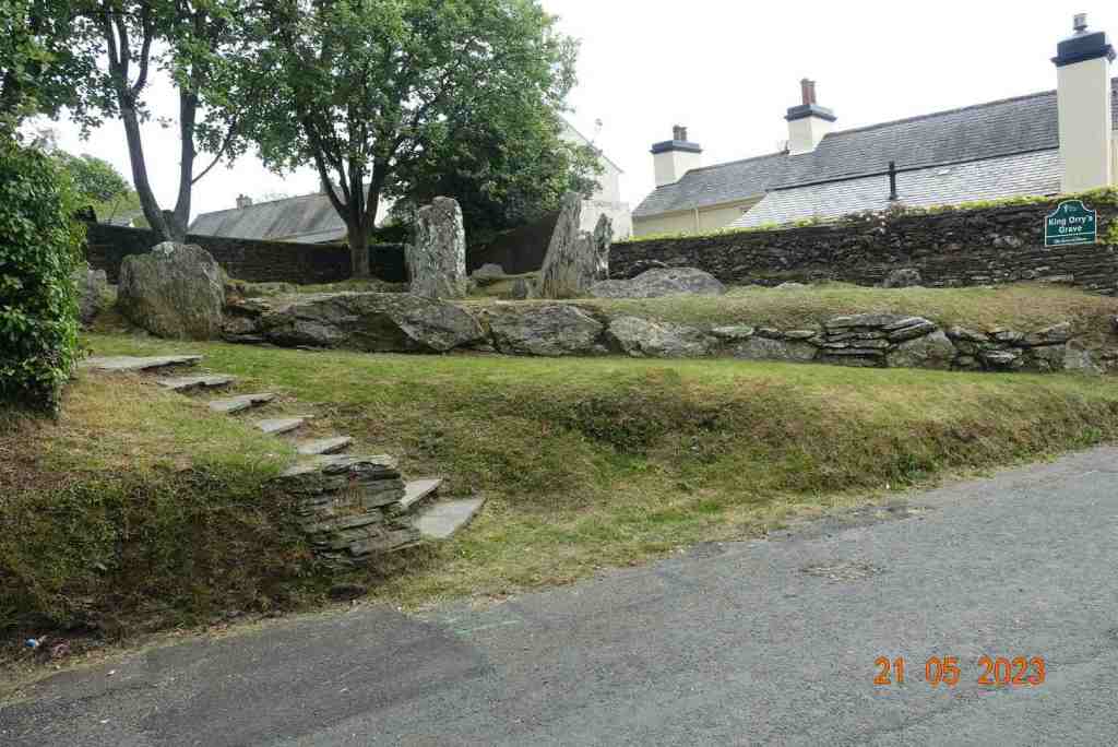
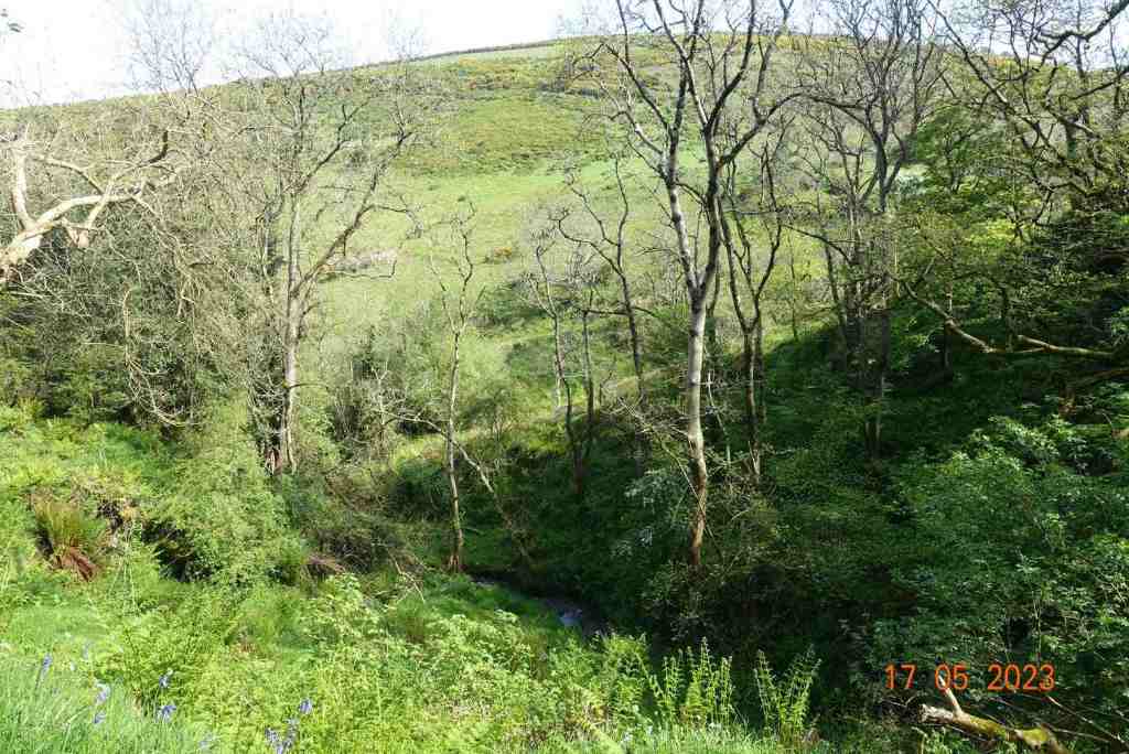
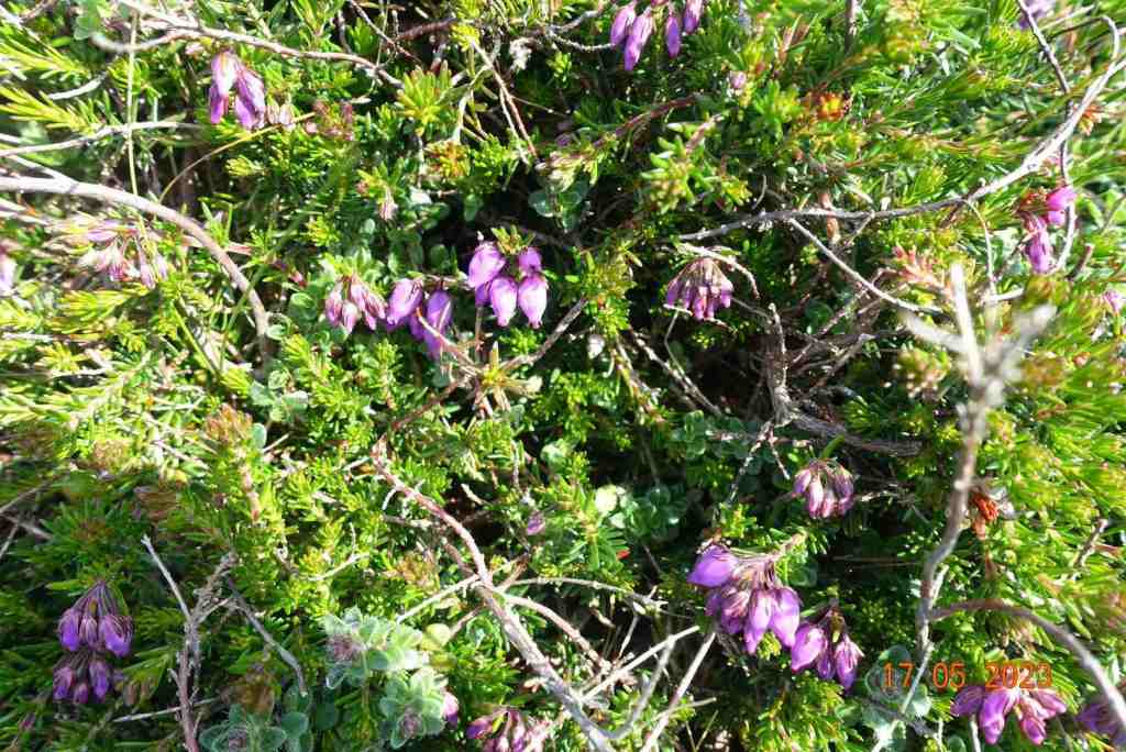
This Edge continues for some distance, gradually descending, with a couple of steeper awkward sections, and it eventually turns into Froggatt Edge, which I guess is where the birch trees have taken hold. Continuing along, the birch trees become more numerous, but just before this, I discovered something I had never noticed before – an ancient burial mound, dating back to 3500 BCE. There is a notice alongside with a QR code, which I accessed and this tells you all about the excavations. I will leave you to investigate this further yourself when you visit.

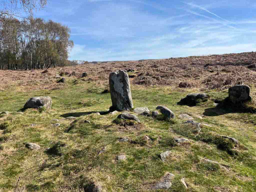
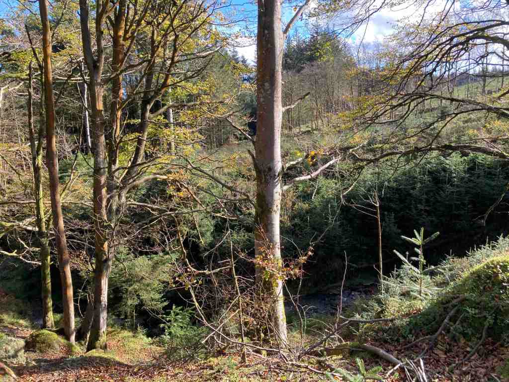
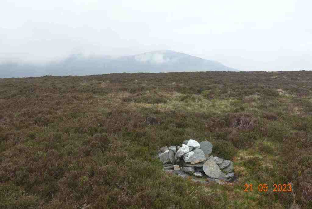
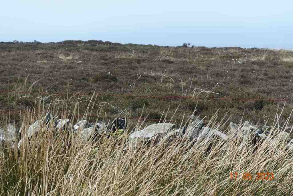
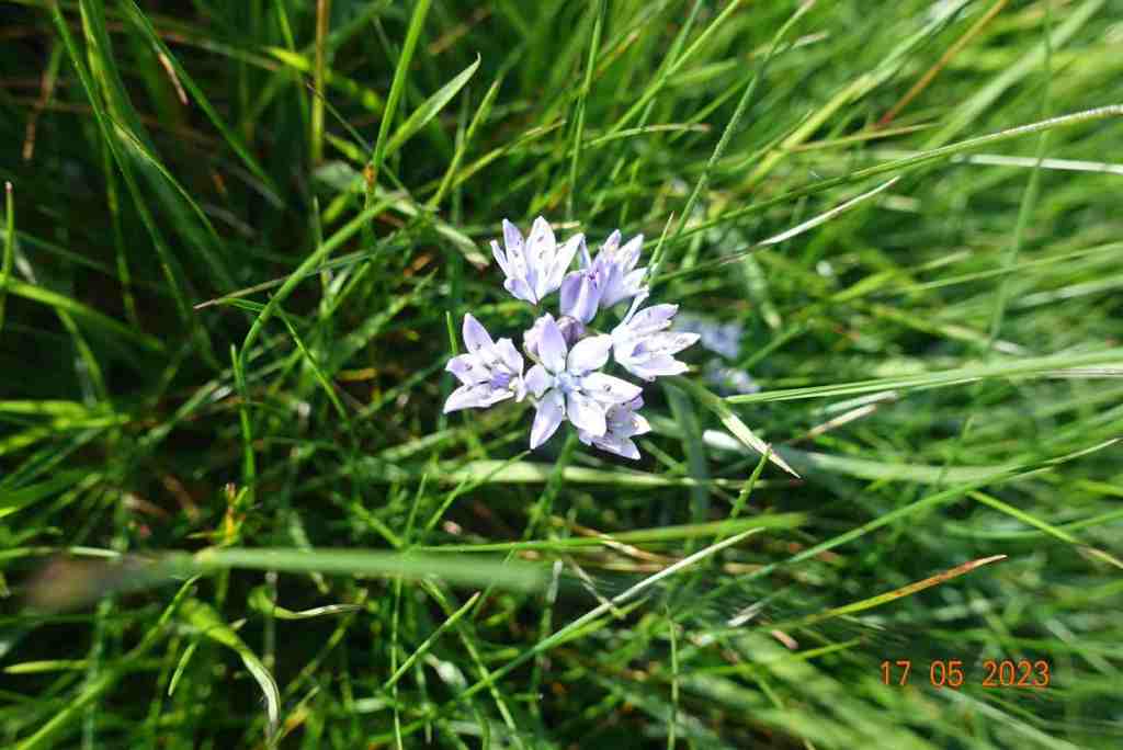
The path becomes more even as we enter Froggatt Edge wood, where the willow warblers were having a field day. In a fairly exposed area, you come across a stone circle, now called Stoke Flat, also from the Bronze Age. It has been damaged, but it is clearly there in the landscape and a reminder, along with the former cairn, that this area has a very long history. I will direct you here to a very informative web page that is very well written: http://www.stone-circles.org.uk/stone/froggatt.htm

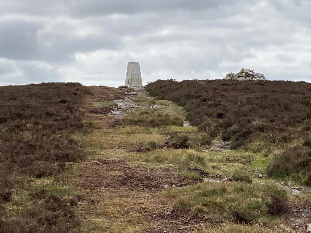
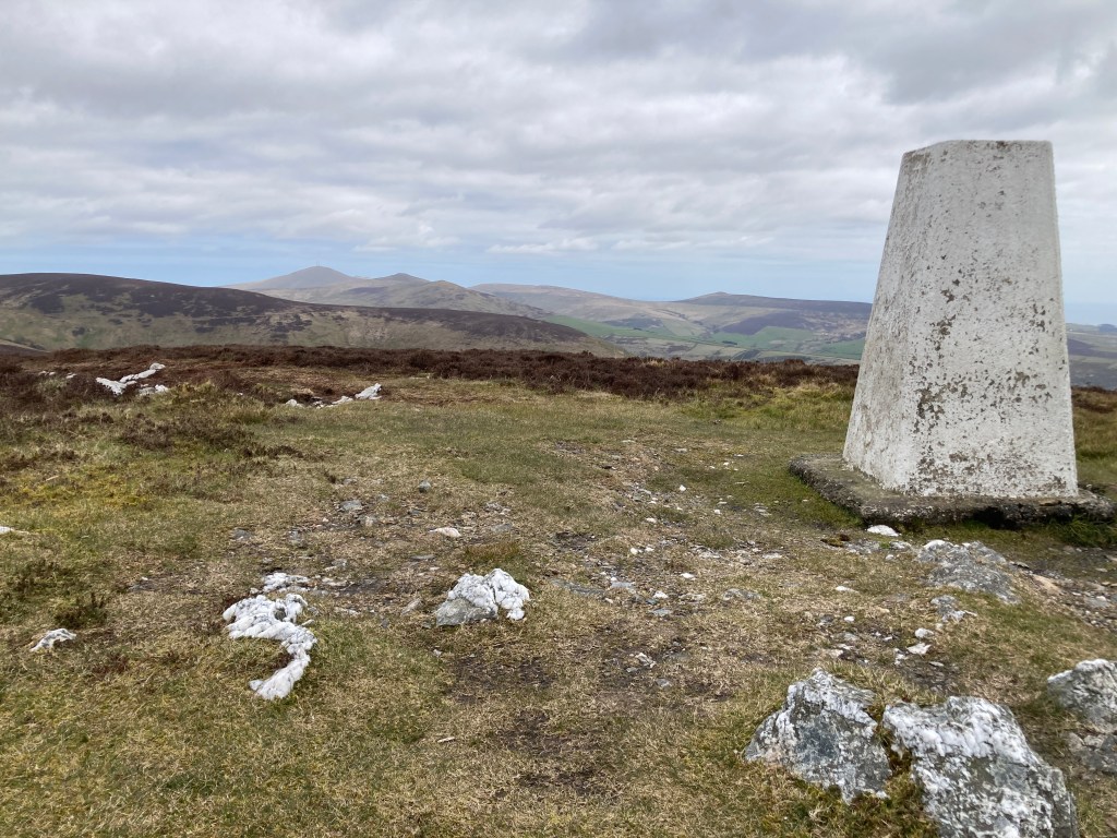
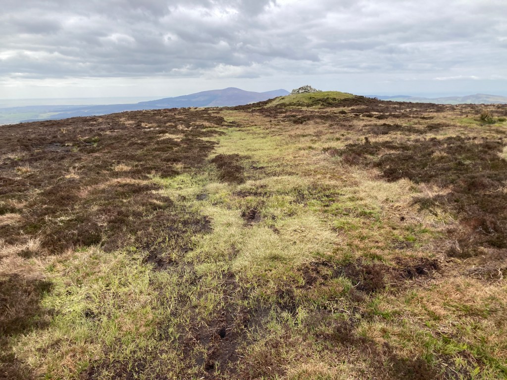
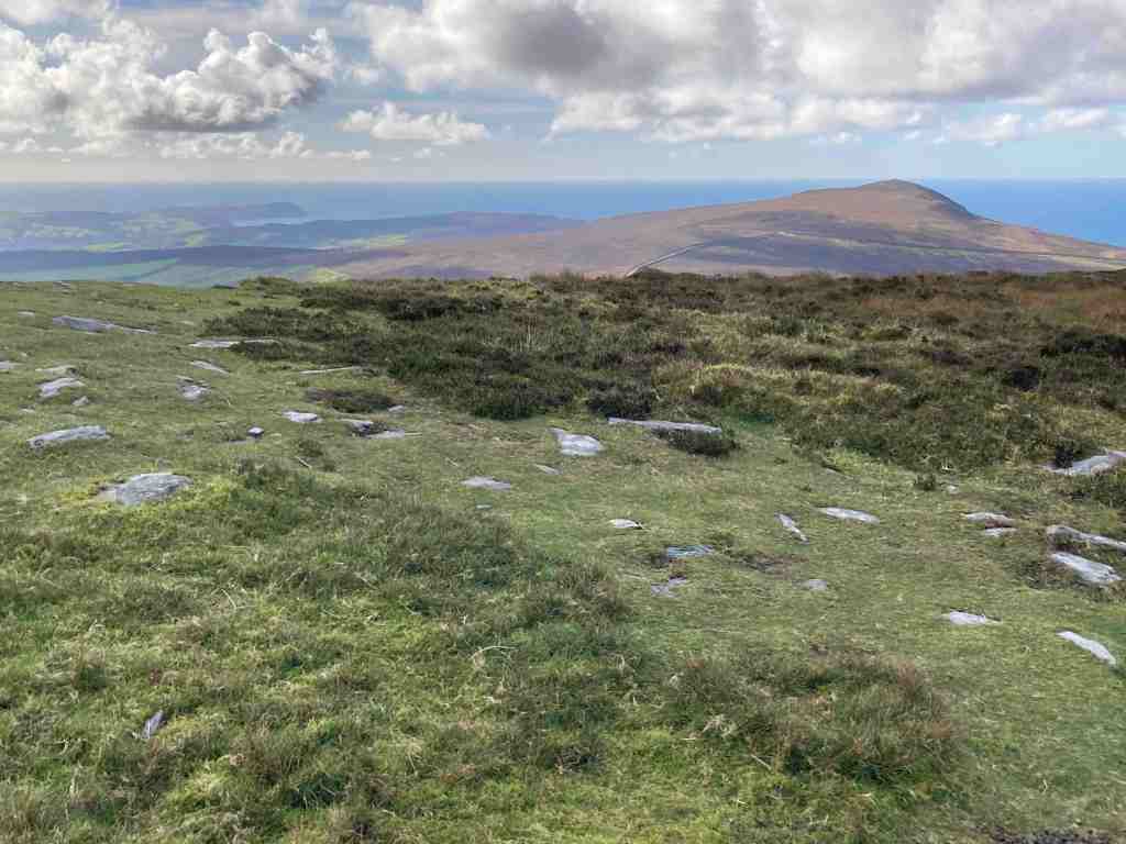
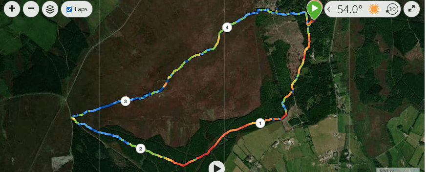
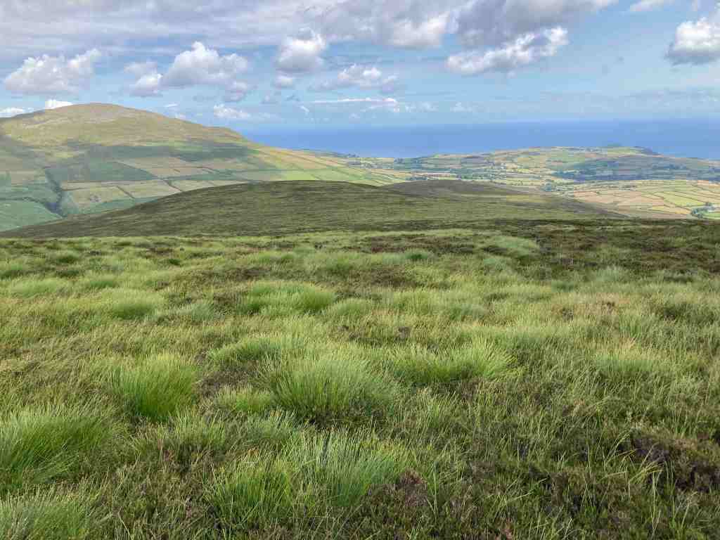
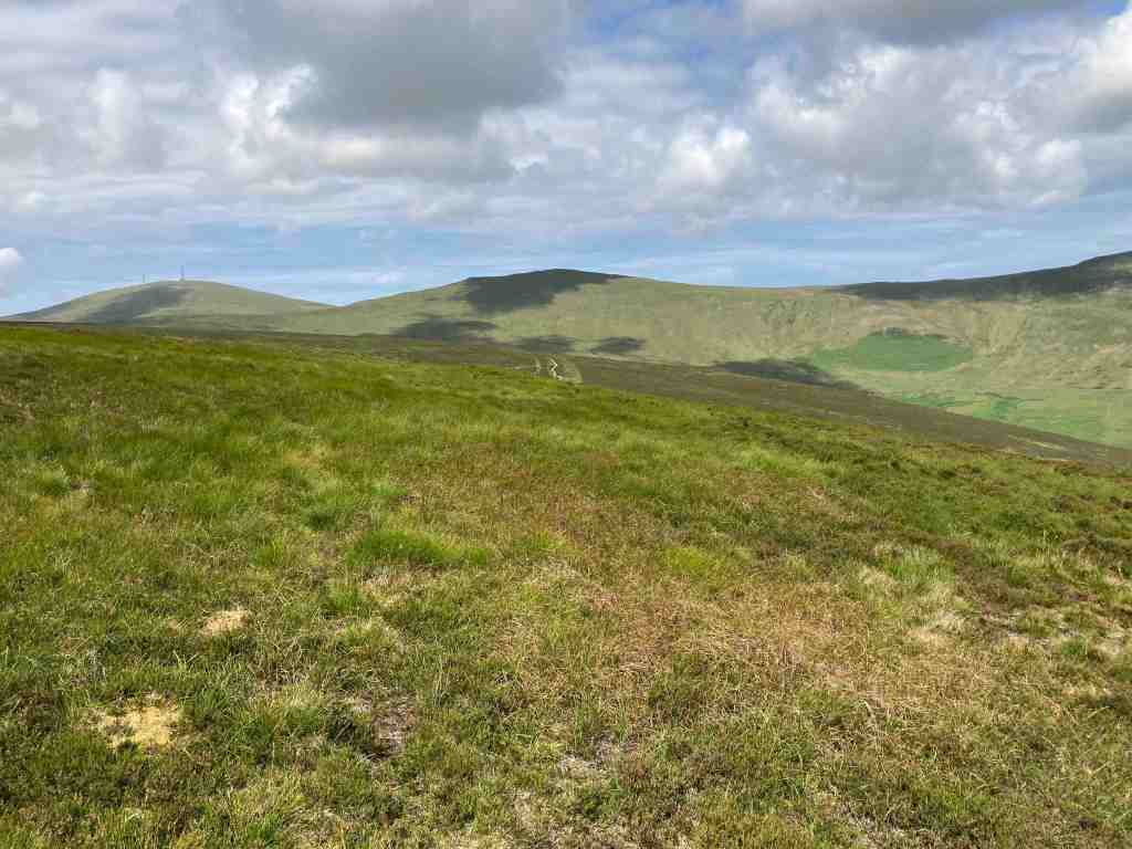
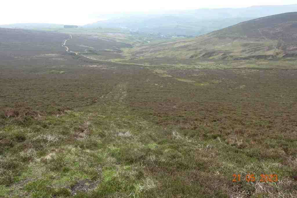
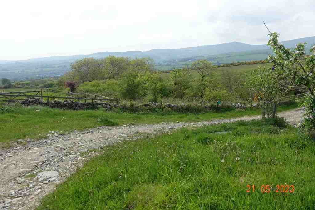
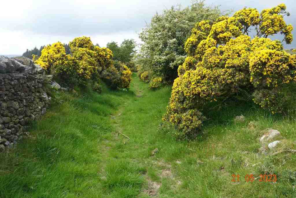
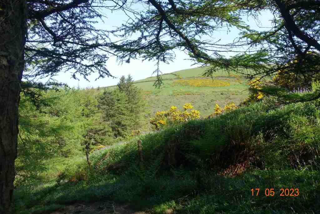
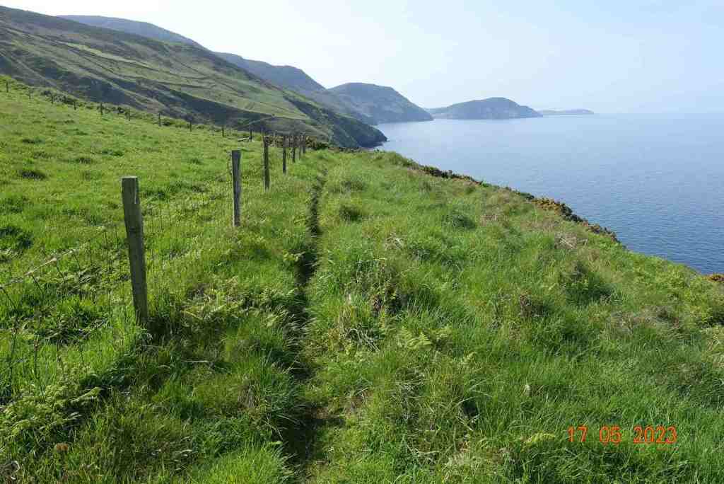
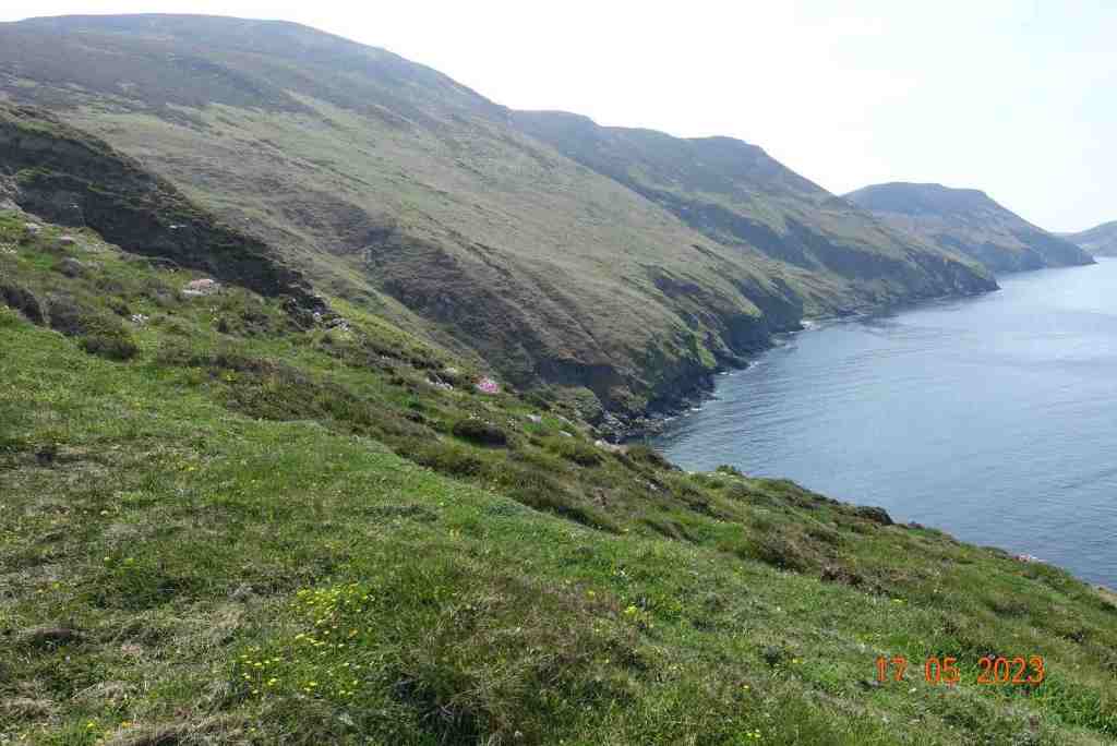
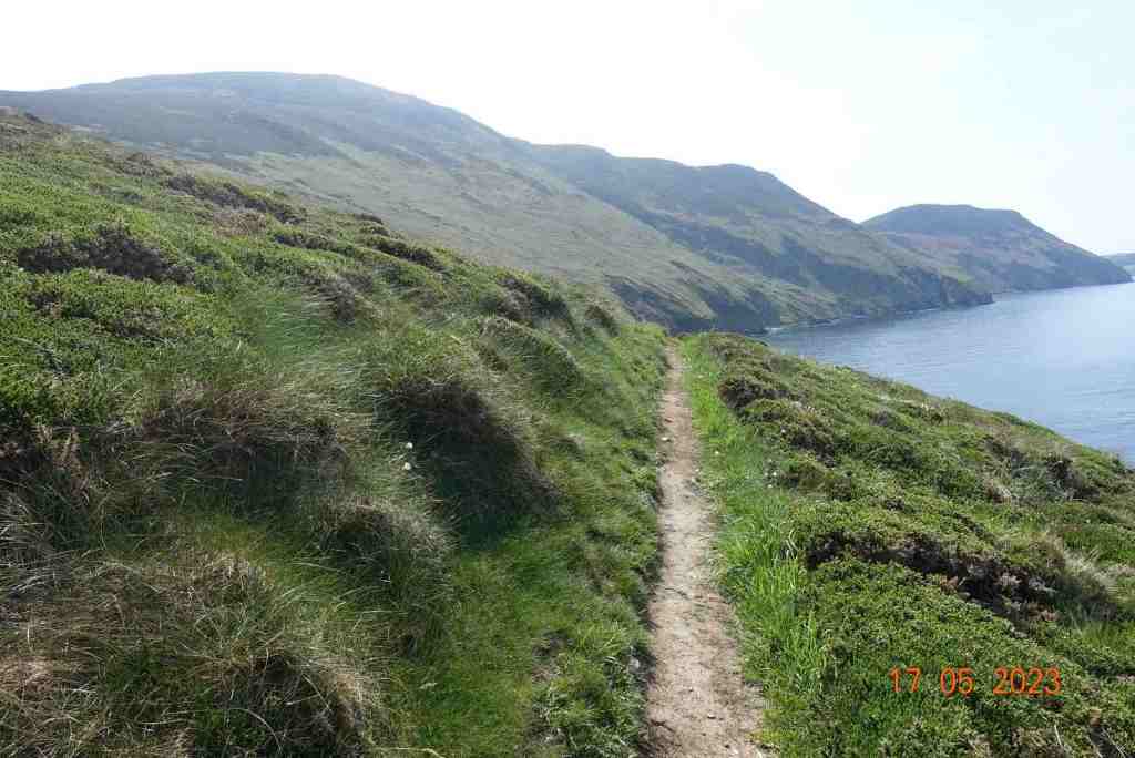
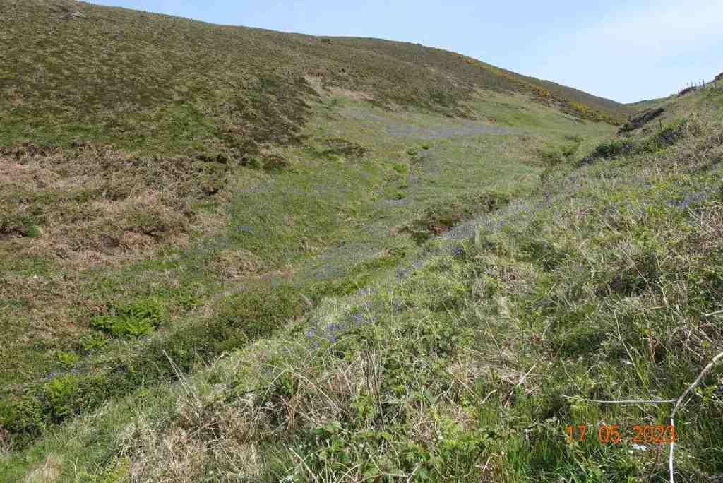
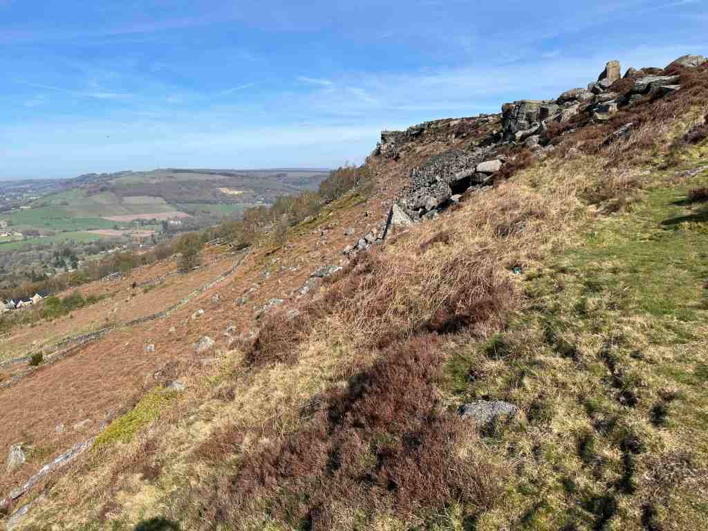
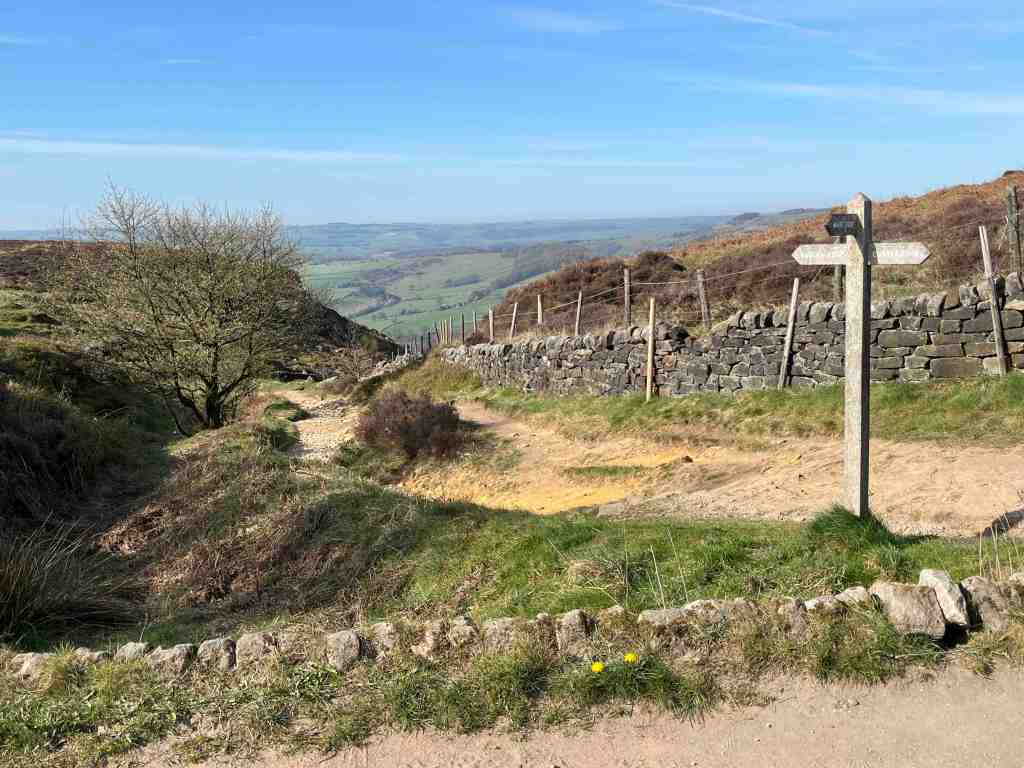
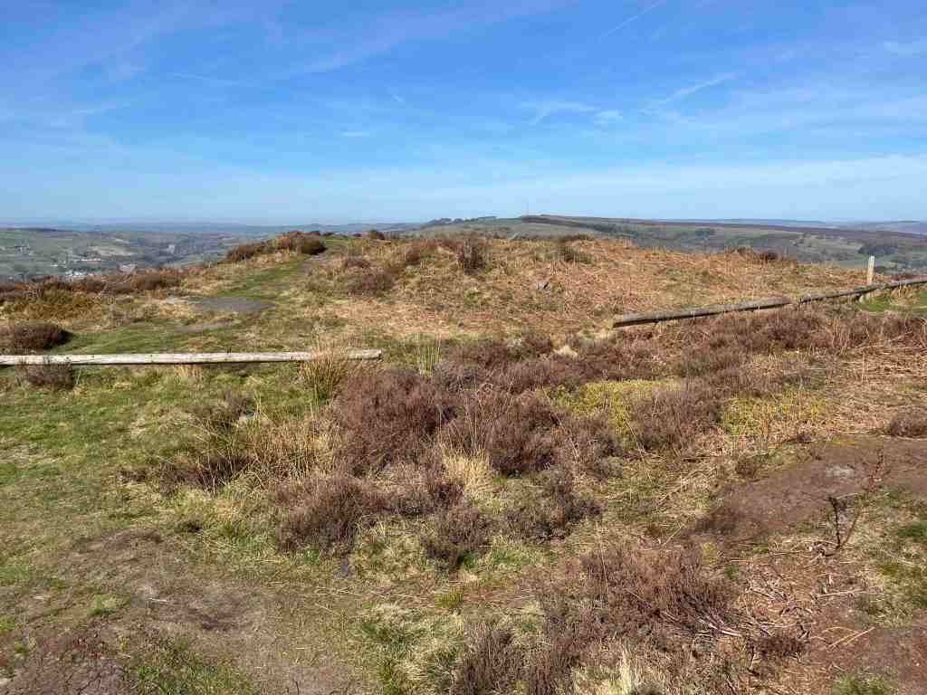
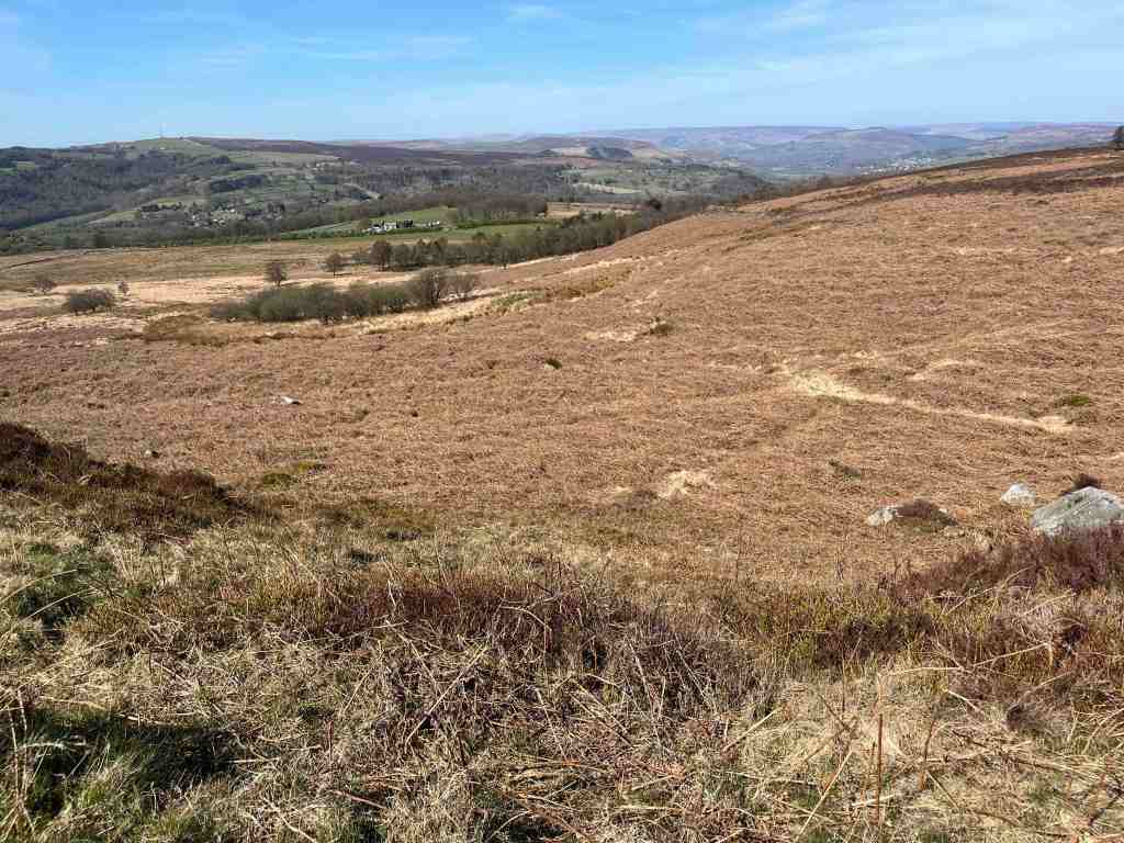
Once through the woods you meet the road taking you to the Longshaw Estate. The walk is about 2.5 miles to this point. The footpath guide I was using goes a slightly different way than I took. I stayed on the same side of the road and cut a trail, through the hummocky grasses and moorland to White Edge. You could also walk along the road up to the Grouse Inn and take a rather easier, but less interesting route, to the same destination. There is a small amount of uphill to get right on the top of White Edge, and now, as you are higher than on Curbar /Froggatt, you see all the way across the moors to Sheffield as well as the panoramic views to the east and north. The walk along the ridge has fewer boulders and is very easy and attractive walking. The descent is relatively steep and the footpath management team have created a series of steps down. From here, it is only a short distance back to the car park where there is kiosk with a lady selling teas, coffees and cakes. This is not a walk to be rushed. It is a walk to stop and stare. Incidentally, if you are short of time there is a shorter circular walk, just around Curbar Edge and coming back to the car park along the moor between Curbar Edge and White Edge.

Total distance: 6 miles (10km), 643 ft (196m) of ascent, and 679 ft (201m) of descent; highest point 1236ft (376m).

Farewell to the Isle of Man

We could not have wished for better weather on our Saturday walk. It was warm and sunny, if a little misty. 11 of us set off on the tram up to the top of the mountain, where it was somewhat breezier than down below in Laxey. The moors were wetter than we were expecting and care was needed going down to Black Hut. Crossing the road a strong boardwalk has been created over the bog, one of the best I have ever seen. We paused momentarily to watch a female damselfly lay her eggs in the water. It was a short uphill walk and then we had the splendid views of the Conrhenny valley with North Barrule and its associate hills on our left (after moorland photos). It was beautiful. We decided not to do the higher ridge walk over heather, which in hindsight was a good thing as a few people were wearing shorts and one person’s shoes fell apart. Not that it was easy walking on the lower track as it is very stony and uneven. One of the party said that this had been a nice grass track in the past, but has been destroyed, I guess, by the motorbikes and cyclists that are allowed on this path. It was a steady walk down to Laxey, past King Orry’s graves and back to our starting point at Laxey railway station. A very memorable and happy day, with good friends, who I will dearly miss.

The Monday walk was a different affair altogether, with absolutely pouring rain. My camera and phone stayed firmly in my rucksack the whole way. Fortunately, it was only a short 3 mile walk, but even so, those of us who did venture out thoroughly enjoyed it. We looked at the different vegetation and vistas and we had a jolly good natter. The heritage trail from St Johns to Peel (it starts at Douglas) is of course flat and relatively wide, which makes it easy to communicate. The path is ‘wearing’ in well, after its overhaul a few years ago, when it was very hard underfoot. It is more pleasurable to walk on now, and of course, around the Raggatt is is beautiful.

As I had mis-guessed the length of the route, thinking it was 5 miles not 3 miles, we arrived early at Peel, which gave me time to say goodbye to Lara at the Manx Wildlife Trust and to get a coffee before the rest of the party arrived for lunch. Our small number of 4 then swelled to 10. They were certainly drier than we were, but everyone was very happy. We had a super meal at the Marine Hotel. Everything was cooked to perfection and served in good time.

This was a different, but just as enjoyable way of saying cheerio to yet more friends. I shall have some very fond memories of my last few days on the Isle of Man and I thank you all, and those who couldn’t attend, for making my life here on the island so happy.

So, this is me signing off from the Isle of Man. Once I am established in England I shall revamp the blog and have sections for different areas of the country and abroad. I was walking in the uplands of Norway recently and that was truly spectacular…

Slieau Ruy and Greeba Mountain

Hallelujah – she’s been on a walk at last, I hear you say. Well actually, I was in the Lakes a few weeks ago, just over the Easter weekend, and I did a couple of absolutely delightful walks, one up the precipitous Cats Gill, which was quite taxing for an oldie like me, but quite exhilarating too, and another long and lovely walk between Skiddaw and Blencathra. I had lost a bit of confidence for walking on my own, but these two days thoroughly revived me.

Today, back on the Isle of Man, I ventured to the middle of the island, to Crosby (though, for some reason my car decided that I should go via Foxdale, so I was a little late starting!). I plenished my stocks with a £3.50 excellent meal deal from the Coop and started up the lane, a route I know well. At the top of the lane, the path becomes the Millenium Way for a short distance. It is a steady climb, not just this bit, but for a full 3 miles until you reach the junction on the ridge walk. It is not a difficult walk but it is a little cumbersome as the cows and bikes have churned up the path quite a lot so I was often on pats of muddy grass rather than a path. Ahead of me was a guy on a bike and I did wonder how he was coping. I eventually found out when I caught him up. I don’t think he was particularly enjoying his bike ride but I assured him it would get better when he reached the top.

It was fairly dull day at this stage, although visibility was reasonable and I could see all the big hills and as I reached the top of Slieau Ruy, having traipsed first over Larghee Ruy, the vista of the whole of the south opened up in front of me. Langness looked like a little squiggle or an afterthought to god’s creation, and I did think it might entirely disappear with climate change.

After from the biker I didn’t see a single soul, not even in the distance. The ridge walk is only short, about 2 miles, though on another day you could take in Colden to extend time at the top. After Greeba Mountain, the only sensible way down in through the forest. The descent is not great. It looks as if the path has been ‘repaired’ but it is full of small stones of different sizes and the gradient is quite steep, so this was not particularly pleasant. Far easier to walk on the heather, but I didn’t do this. I was glad to reach the edge of the forest after about 15 mins. This is then a very pleasant walk on soft turf in the quiet eeriness of the forest. I had made the decision that I would take a detour from the forest and cross the small stream and follow an old road back to Crosby. I enjoyed the stream – it was in full pelt and there were some stepping stones which were fun to cross. It is a permissive path, but obviously well used.

However, I missed the connection with the road beside the house, indeed I never even saw it, but no matter I continued on the permissive path which was absolutely delightful. The gorse was in full bloom and the path went over grassy fields. This did mean, though, that I ended up back on my original route. Looking at the map, and previously, on the way up, I had noticed another path going to the outer edges of Crosby, so of course, I had to try it. This is an old road, no longer used, and it was a joy to walk along, so my misdirection early on was of no consequence. The flowers were beautiful in the hedgerow.

This is fairly long walk of just over 8 miles, with 1600 ft of ascent /descent. It took me 4 hours, but if you decide to do this, I would allow 4-6 hours on a nice sunny day to stop and admire the countryside. I parked opposite the bowls club in Crosby on the lane by the stream. They are free toilets at the bowls club situated between two blocks so you don’t need to go inside. There is a Costa beside the Coop, so you can get a welcome drink after your stride out, if you so desire.

Port Erin Circular

This was intended to be Port Erin to Castletown, but I really hadn’t thought it through; not only for the distance, which would have been 12 miles, but for the difficulty of the task. Hold on, you say, I’ve walked that many a time without any difficulty. True, I would reply, but not in winter when we have had weeks of rain. I hadn’t given this latter thought any consideration as I set out yesterday morning, to do the first walk in well over a year that I have been able to do entirely for myself with no hidden agenda.

It was slightly warmer that it had been, with no rain forecast and not particularly windy, so I was expecting great things. My first photo shows Port Erin looking its glorious self as I headed down Dandy Lane. The light was lovely, with the sun peeping out from the clouds, highlighting different parts of the cliffs, and in my first photograph the tiny lighthouse. My expectations were dampened as soon as I reached the coastal footpath. There was literally a torrent of water hurtling down the footpath and surrounding cliff as if there was no tomorrow. I just stood and stared it for a while; in all my times of walking this route, I have never seen anything like it. Don’t get me wrong, it was never going to prevent me carrying on, but what a sight. I could see a lady on the road below thinking I was absolutely nuts! It’s a good job none of my friends had been able to join me on this occasion, as I imagine some at least would have turned back.

It took a little negotiating. The photos don’t show full amount of footpath under seige. The rocks and steps were slippery and in places there really was no foothold on dry ground, but I got through and remained surprisingly dry. Above the wall, the stream was still gushing down but at least it didn’t trouble me any more. I guessed that there would be more of this to come, but I was wrong. Yes, there were some very wet and boggy patches but where I had to cross streams, they were perfectly passable. In some ways, the narrow paths were the worst, as they were slippery and uneven. But, what does all this matter when you stop and take a look at what is around you. The light was stunning, giving me my own personal light show, as it lit up different sections of the countryside as I went past. Looking down at my feet, there were three varieties of fungus competing with the grasses, moss and ferns for space.

I arrived happily at the Sound, but didn’t stop until I reached the next headland, Spanish Head. The climb up wasn’t bad at all, the footholds not too muddy, but now the footpaths did become very muddy and awkward, with deep puddles that were unavoidable. And still, I had seen no-one to spoil my enjoyment of the countryside, and indeed this continued to be the case until I reached the Chasms Cafe (5 miles into the walk). People often walk from Cregneash and Port St Mary up to this very special place, so it was unsurprising that I met two couples at this point. I sat in the shelter and had my coffee. Looking out to sea I could just see Anglesey in the distance. The routes down from here have lovely views of the south from Port St Mary to Castletown and beyond, but the walking is not comparable with the terrain I had just been walking on. Given that I have a jippy left knee and sciatica in my right leg, I thought enough was enough and there really was not a lot to gain by continuing on past Port St Mary. I could have shortened the route home by going up through Glen Chass or across the golf course, but I satisfied myself that I wanted to see the village and then take the back route home.

Total distance: 8.5 miles; 1352 ft of ascent; 1434 ft descent.

I have such a lot of nice photos from this walk, I have created a slide show for you. I had intended to edit a couple of them, but my computer won’t let me, so you have the raw versions.

My left knee pain seems to have resolved itself, but if anyone has any home remedies for sciatica, which has been plaguing me for a week now, do let me know!

A Circular Walk on South Barrule

Ever a favourite of mine, I never tire of walking up South Barrule. This is really my first venture out since Covid, and I am still struggling a little with chest and sinus problems but I am over the worst. This is a walk I am leading on November 6th for the IOM U3A and looking at the forecast for the next 10 days that expects nothing but rain every day I had to take advantage of a gloriously sunny and relatively warm day to get out and do my recce.

I parked at South Barrule plantation, by the Coffee Cottage, a cafe that is open every day. The car park was very busy with horses and trailers, but I managed to find a spot. The walk starts directly south from the car park. There are numerous tracks through the plantation, so it is important to start on the right one! At the start there is a junction of tracks and you need the track to the right leading uphill; it turns left after a short distance. From there, you follow your nose for some time, keeping right at any junctions, and not veering onto any lesser obvious paths at this stage. The track was quite wet in places, not surprising after all the heavy rain of late, but it is a good wide track, which means you can have a good natter as you are walking along. Continuing on, you will reach a point where the track goes clearly downhill. You can go this way, but I prefer to take the right fork, still a good track, that keeps you higher up and avoids going downhill to go back uphill again. From here you will contour round the southern edge of South Barrule with super views of the south as it all opens up and there are fewer trees. There is also a map board just where the land open up more, which will confirm you are on the right track.

The main path continues on until you join the Bayr Nr Skeddan path. My walk eventally does go off on a side track which then turns into a footpath. This was very wet and muddy today, and if you prefer, you can stay on the main track until you hit the Whisky Run (Bayr ny Skeddan) lower down. My route is more interesting and you remain high up and come very close to where you start the ascent of South Barrule itself. I found that I soon forgot about all the mud as I entered the moorland. The views to the west and south are amazing; you can see the Langness, Castletown, Calf of Man, Cronk Ny Arrey Laa, the Rushen Valley (another of my favourites), Peel and further north all the time you climb up the mountain. I should know by now, having climbed this many, many times, that when you reach the top, you get another surprise as the northern hills come into sight in a spectacular and unexpected way. Maybe I forget because quite often the weather isn’t good enough to see them!

If you haven’t been up South Barrule before, it’s worth taking your time to look for the “Round Table” – nothing to do with King Arthur but a 3500 year old Bronze Age burial mound with its head chopped off. This is a heather covered mound to the left as you start up South Barrule. You can walk around the perimeter of the ancient iron age fort, 22000 sq ft in size, which contains many of the original stones – but imagine it considerably higher. How impressive would that have been. Equally, there are granite stones scattered around, which would have been brought here from one of few areas that contain granite on the island, probably Foxdale in this instance. There are also depressions in the ground, sometimes filled with water, the remnants of roundhouses, where people lived around 500BC. Culture Vannin has an aerial view of the top of the South Barrule, if you look here:

https://culturevannin.im/exploremore/places/south-barrule-hillfort-383989/

Having taken time to enjoy the view and take in its history, we now start the gentle descent, beginning on a clear path northwards. This gets narrower and narrower until eventually, as we have to negotiate a path back to South Barrule plantation, we will be walking on a map bearing and walking over peat, grass and heather (not much gorse here) for about 15 minutes until we reach the boundary fence of the plantation beside the quarry. If you are walking without a compass, you will need good visibility. There is a small mound beside the quarry on the left, and the trees begin just to the right. There is also a sign clearly visible, so head in that direction. There is a rickety stile just to the right of the quarry before the land rises to the right, and the lone tree is a good marker.

Crossing the stile, this leads to the quarry tracks. It is worth a quick detour to have a look at the quarry area itself to see how large it is, then returning to your path, you will see an imposing mound of logs, even larger than when I last went. There is a track leading from these to the right; start to take that track but turn immediately left down a grassy, stony and possibly wet track. Another path will come in from the left, which you ignore. Just a few yards down the track after this junction keep left on the high ground and you will see that a dry path then detours down into the plantation. This is a delightful little path and you can hear the water cascading down the hillside in a mini waterfall, and the area is green and pleasant. It finishes right in front of the Coffee Cottage, so why not stop and have a coffee? To get back to the car park, whilst still in the forest take the footpath on the right through ‘Go Ape” and it brings you out where you started (alternatively walk along the road).

This is a fairly gently walk. The early part through the plantation is mostly flat with a few yards of gentle uphill here and there. The bulk of the ascent is the climb of South Barrule itself, but it is not especially strenuous and it is a fairly short distance to the top; it will take you no more than 30 mins to reach the summit. It is grassy and there are no really steep parts.

Distance: about 5 miles; Ascent total 1040 ft; descent 1079 ft. If you take the lower track avoiding the muddy footpath, this will add another half mile or so on to the walk and about 100-200ft more ascent.

Austria – Day 1: Eifersbacher Falls and St Johann

You were right. Even though this is a Great Rail holiday I would have to do my own walks. A holiday is not a holiday without stretching the legs, for me at least. To be fair, today was the ‘off’ day. Looking at a map I noticed that the Eifersbachers Falls were within walking distance of the hotel in St. Johann.

The walk begins with a stroll through the very attractive town of St Johann. I need time to explore this when everything is open, as today was Sunday. Crossing the bridge, the path runs alongside the river for about a mile or so. It is very open here, so you get the full effect of the sun. Just as you pass the airport, well not so much an airport as an aerodrome for small aircraft, you cross back over the bridge to join the main road. Don’t take the side road as this will take you down a blind alley.

Follow the road to the left for about 200 hundred metres, then the path is shown on the yellow waysign to the right. This is a delightful path, leading through the forest, with not too strenuous a gradient, until you reach The Eifersbacher Falls. These are tremendous with two or three separate falls, even at this time of year when there has been little rain. There is clearly a separate waterfall in winter too, but this was dried up now. You do need to be prepared for a very steep uphill section of about 300-400ft, way above the top of the waterfall. There is no alternative route unless you retrace your steps. However, the climb is worth it. Once at the top of this path, take a left, again traversing uphill, until you reach the Hornblicksee. This is a lovely lake, with loads of places to sit to enjoy the view all the way down the valley and into the surrounding hills.

There is a choice of paths from here. Very high, high or low. I took the high path that goes across the meadows underneath the cable car and ski runs down to a pension called Pointenhof. The views from here are ‘disappointing’ compared with previous views, but the beer was very welcome. Ironically, the hotel had arranged breakfast for us here earlier in the day, and that too was disappointing.

There aren’t many routes down to St Johann from here. I followed the main road downhill most of the way, as the one place I had thought of a change of direction was not marked as a footpath off the road. Instead, a few bends before you reach the cable car station is the most delightful walk through a wood that comes up right next to the cable car station. It has play things for children, and plenty of attractive seating area, so worth a visit on its own. From here, it was just a short walk back to the Hotel Park, and a nice shower after the very hot day.

Distance: 7.5 miles; Ascent 1650ft ; descent 1365 ft. Minimum elevation 2,234 ft; Maximum elevation 3598 ft.

Kerroodhoo Plantation, Barrane, Eary Cushlin

This is one of my favourite walks. It has such variety and breath-taking views. We began by walking through the Kerroodhoo plantation, which is a very pleasant path, keeping ourselves in the dappled shade as we made our way downhill. There were a couple of obstacles, such as steeply dropping paths and streams to cross but nothing too daunting. Towards the bottom end of the plantation a new woodland of deciduous trees is being created whilst the everygreen Norway Spruces are being removed as part of a community measure to improve the environment. The idea is to create more diversity and provide better habitats for three b’s – birds, bees and butterflies. New trees being planted include Birch, Oak, Alder, Hazel and Ash, all native trees that have been grown locally. It will be interesting to watch this develop in future years.

Reaching Barrane and its chattering ford, we soon found ourselves crossing over meadows strewn with flowers to greet the footpath on the coast above Whitesands. Niarbyl lies in the distance and the white cafe stands aloft, although it has been closed as a cafe for a while and no-one knows when it is to reopen. The path southwards is not seemingly part of the coastal footpath route but is perfectly accessible and provides a super lunch spot where you can sit on rocks, watch the butterflies and listen to the birds circling overhead, all the time gazing wistfully into the distance at the towering cliffs of the southwestern part of the island.

After lunch we followed a grassy but uneven track with overgrown bracken for the next mile of so. In places, it is a little exposed as the cliffs fall away into the sea. We met a lady and her dog from Arnside who had never visited the island but was now smitten by it, as we all are. It was a little tricky crossing the swollen stream at Glion Mooar, and then we had our main uphill section of 300ft or so. We took it steadily, stopping to look at the wild flowers, or to admire the beautiful common blue butterflies that were darting here and there, or just stopping when we wanted a rest.

When we reached Eary Cushlin house a few of us were pleased to remove ourselves from that environment as we were being bitten by midges and such like. It was then a flat walk along the track back to the cars, but not before we stopped to admire the glorious heather on the Dalby Nature Reserve. We had had a wonderful day and enjoyed each other’s company. Distance: 4.25 miles, 935ft of ascent and descent.

Circular walk above Laxey

Today’s walk was part of a previous walk in reverse as I wanted to find out if there was a path or sheep track over the top of Slieau Lhean (469m). I parked the car on the minor road above Laxey before Ballachrink (which is actually the Raad Ny Foillan), and walked up the lane to where the right of way leads off onto the moors on the left.

It was a bright sunny day, a change from the unremitting dull weather we have been having recently. Yes, I know, we had no rain for 5 or 6 weeks so we need some bad weather in between the good weather. It is a very gentle, steady climb once on the lane that goes nowhere, other than to a few houses and farm buildings. The lane stops abruptly at a field gate where it turns into a green lane, which means bikes and horses can use them. This is good in one way as it opens up the countryside to various forms of locomotion, but the bikes certainly mess up the tracks and pathways too. The track enters ‘The Dreem’, the Manx word for the back of a hill. After about half a mile, the eagle-eyed person will spot a tiny footpath leading off up the hill to Slieau Ruy (396m). We have several hills with this name and despite sounding regal it only means ‘red’, but in this case, it means the red of the purple heather, which was already flowering. I have never seen so much heather this early on in the summer.

The steady climb continues until you reach a false summit with a cairn, but it isn’t actually at the top, so it more of a waymarker. However, as you climb, the vista begins to open up especially to the south and east and you get good views of Maughold as well as distant views to Douglas and beyond. You can imagine in your mind’s eye the Creg Ny Baa (rock of the cow !?) and the mountain road to the south of Windy Gap. After Slieau Ruy there is a plateau of heather and grass before another short climb up to Slieua Ouyr (yes, you guessed it – ouyr means yellow, as in ochre). It is worth heading off the path a little to the north to get the best views of the Corany Valley and Ramsey. You cannot miss the sausage shape of the North Barrule hills which dominate this landscape. It was at this point I needed to hunt for a new path, and find one I did. It leads down to the gap between Slieau Ouyr and Slieau Lhean (meaning broad and long). The map indicates there are cairns but I didn’t see any. This is a watershed where one half flows down into the Laxey valley and the other half flows into the North Laxey Mine area. There is a faint path going up Slieau Lhean but I gave this a miss, in favour of a wide, grassy track to the north, which eventually joins the Glen Mona track. Distances are so deceptive; hills look to be a stone’s throw away yet take an age to go round or over them.

This was the furthest point for me today. I had already walked 3-4 miles, so I knew it would be the same amount back again. This time, I took the track to the south around the hills; this meanders very slowly all the way around the three hills but now, instead of seeing the big bullies of Barrule, we see the softer side of the hills as they gently roll down to the sea. We pass over the watershed again this time on the south side, where it has the name of Glion Ruy, red creek, which when you see it seems very apt. This track is not my favourite, as it is stony and awkward in places, but it is possible to walk on the grass just to one side most of the time.

I was retracing this route for the Southport U3A group as I so want them to walk along the tops if there is a suitable way, and in this I succeeded. However, if you stay on the track, rather than walk on the tops it is not necessary to continue all the way. There is a small footpath that leads directly towards the canopy of trees which leads down to King Orry’s Graves, so if you wish you can miss out about half a mile of unpopular track walking!

That was it for today. I should just mention that although not a difficult walk, there is far more uphill walking (just under 1,200ft) than if you walk it the other way round, from Snaefell. As I was finishing the walk a holiday organiser rang me to confirm that I had got the last possible space on a train trip to Austria. I was so delighted I didn’t re-check my diary and managed to book myself on a wonderful holiday at precisely the same time as I was due to lead the Southport group on their walks. When I realised this I was devastated, but I am sure it will all work out. I can at least do one day with them. How ironic is that when you think I had gone out today specifically to recce a walk for them. That momentous birthday that crept up on me last week may be signalling a faster deterioration in my mental abilities than I am aware of!!!

I won’t be doing much walking over the next few weeks as my son, Matthew, and his son, Thomas, are coming over to the Isle of Man and then we are going to the Lake District (they for longer than me), but I will post as soon as I can.

Distance 7.65 miles, Ascent 1194 ft; Descent 1161 ft. Min Elevation 483ft; max Elevation 1507 ft

Snaefell to Laxey over the hills

A free day, and one planned to do a recce before the madness of TT starts, with practice week next Saturday. I was up early, too early for the first train from Laxey to the summit of Snaefell. It wasn’t a great day, overcast and a little gloomy but it was possible to see the top of Snaefell, so it could have been worse.

As I entered Laxey station I immediately saw a walking colleague, Ken. He is a great leader and was taking a walking group from Orpington up Snaefell and on to Ramsey. The one-carriage train was almost full as we headed off up the valley, with the female voice-over telling us all the important points to look at on the way, such as the Laxey Wheel and the mines. Once at the top, the passengers spilled off the train onto the viewing platform. It certainly was hazy, and there was no question of seeing the Mountains of Mourne today, but it was calm and warm, and considering how often blows a hoolie up here, I settled for that.

I tried to let Ken’s party lead off ahead of me, but my delaying tactics didn’t seem to work, so eventually I found myself at the tail end of his party, enjoying idle gossip as we went downhill to Black Hut. There, we parted company as their route would take them to the left and mine to the right. I only saw them briefly again as they reached their first summit of Clagh Ouyr. My route was a gentle climb up the flank of the hill, across heathery moorland and occasional shallow bogs until I reached a plateau that I walked on for about a mile. On a good day, the views would be fantastic on this section, and even today, they were still very good. The path is easy to follow and at the saddle between two hills there is a signpost where you can turn left and follow a track in a north-easterly direction to Glen Mona. That would be for another day. My path went around the southern side of the hill, turning into a stony track. This was all right for a while, but it gradually got wider and stonier and although relatively easy to walk on it did become a little tedious. I looked for a path, even a sheep path to take me to the top of the hill, but there seemed no easy way amongst the heather, so I refrained for the moment. Crossing a small bridge, it seemed as if there should be a path up between two hills, Slieay Lhean to the left and Slieau Ouyr to the right, but I couldn’t make one out from the track. I could see some grassy areas on a steeper section, so I made my way towards those on Slieau Ouyr and blazed my own trail up to the top of the hill. In reality this was only an ascent 322 ft but it felt more as it was straight up for 1/4 mile max!

I was pleased I had chosen this route as it was far more pleasant higher up and I could see in all directions: North Barrule and eventually the coast up to the Ayres and all the hills around Snaefell. Not having done this route before I was surprised how much of an arc these hills make. From Laxey, they look as if they are in a straight line, but they are not. Having reached the final summit of Slieau Ruy, it was all downhill towards The Dreem, across sometimes difficult moorland. The path is narrow, barely visible sometimes, and you have to be careful where you put your feet as there can be sudden drops invisible because of the heather. It eventually joins the boring track I had been on before. The boring track is absolutely fine really and you still get good views of the southern part of the island, but of course, being lower, you can’t see over the mounds immediately adjacent to the path, so you cannot see the northern hills.

Once off the green track there is a choice of routes. Continue straight on and before long you join a minor road that you can follow back to the top of Laxey. I turned right. This next section was lovely; you are still reasonably high, so there are good views, and there were very green paths in between farmed land. The colours had changed from being purple and brown wherever you looked to being bright green wherever you looked. There is a great direction-finder for the next path, as there is a tall, fairly small wood, that you can see for miles, so you can just head for that, as the next path starts here and goes immediately south down into Laxey, or Minorca to be more accurate. As I neared habitation, the colours became even more dynamic and the trees looked magnificent and seemed to own the place. I wasn’t expecting a ford on this walk, but there it was, but with no water overlapping the road today. There must be deluges from time to time, as someone has constructed quite a strong footbridge for those very occasions.

It is now just a few more paces until you join the minor road where you will find King Orry’s Graves. I didn’t visit them on this occasion as I have done so many other times before. Instead, I continued to the main road and followed it along the top road into Laxey before dropping down a delightful path into Laxey village itself. It was then just another short climb up the road back to the station, and Laxey Glen where I had parked the car.

Distance 6.9miles; 614ft of ascent; and a whopping 2,516ft of descent. You won’t notice the descent. It is very gradual, and if you have good weather, this walk deserves the full day treatment. And of course, once you arrive in Laxey, you can spend time walking around the village or have an afternoon tea in a local cafe, or mooch along the beach. It is a lovely village, and you should allow yourself some time to enjoy it.

West coast walk near Niarbyl

What a way to refresh your soul. I have been working flat-out for a few weeks now and had set aside today for a complete day to myself, without any students, without looking at emails or marking work. I had not anticipated such as treat as I started off through Kerroodhoo Plantation, having parked off the road at Dalby Mountain Nature Reserve.

The sun was shining and it was a warm day as I ventured into the eastern edge of the forest. It is always a delightful walk, no matter what time of year, but as the sun glinted through the trees, it was very pretty; even more so when, rather like Wordsworth daffodils, I came across a sudden drift of bluebells, that went on in all directions. I took photo after photo but show you just two here. Although the path is only partly marked out on the map, in practice it continues all the way to Barrane. In places it is a little muddy and in other places slightly steep. If you are slightly infirm of foot I would definitely use a pole to help you down safely, but these are very short sections and nothing to worry about. Not only was there an abundance of bluebells, but throughout this walk there were many, many different wild flowers and it was pure joy to be amongst them. I shall include a slideshow of these at the end.

Barrane appears after a mile of walking downhill, then the route joins the road leading to Dalby but go south instead of north, and this becomes a stony track uphill. After crossing the ford, or avoiding it by following the signs for the coastal footpath, take the footpath that leads to the edge of the coast. Most people turn right to go to Niarbyl, but our route goes south at this junction and the cliff path is delightful along here. There is a little uphill walking at this stage but there is a nice resting place where I stopped for some time watching the tortoiseshell butterflies doing a merry dance and listening to the linnets singing in the bushes. The view was sensational and there were different flowers in every direction that I looked. It was so restful and just what I needed.

From here, there is a little more uphill and then you join the standard coastal path which begins on a fairly level grassy path before zigzagging downhill for a short distance. Having crossed the ladder stile, the path becomes narrower and closer to the cliff edge. It is never dangerous, but I know some people get nervous on such paths so I have included some photos to show you how close it is. As I say, it is perfectly safe. After a little more downhill, where you are fairly close to the bottom of the cliff at 153ft above sea level, we cross a stream called Glion Mooar and then start the rather more cumbersome 500 ft / 3/4 mile climb up to Eary Cushlin house, of which the first part is the steepest. This can only be avoided by not taking the coastal footpath earlier, but it is a good, grassy path and you can rest whenever you like.

I plan to lead this walk in August, but from here I shall probably take a slightly different route to avoid walking on tracks. Today, I followed the main track up to the edge of the plantation then turned south. This goes very gently uphill to the highest point of day at 998ft. The route then turns off into the Dalby Nature Reserve owned by Manx Wildlife Trust and we walk through this back to the cars. This is likely to be boggy in places as it was today, so if you do follow this route I would recommend wearing long trousers and gaiters. Gaiters for the boggy bits and being a nature reserve the heather and gorse do not take account of walkers and sometimes the path is very narrow if existing at all.

I am feeling so much better these last few weeks and I hoping to get out in the countryside once a week from now on, so you can look forward to a few more posts over the coming months than I have been able to write in recent months.

Distance 5.25 miles; Total Ascent 1,184ft