This was Saturday’s walk, or was it Sunday. You tend to lose track of time, when there aren’t appointments on the calendar and one day merges into the next. That will change as I become more involved in the locality. I have already met a few people with the U3A in Matlock, and I shall be going to table tennis tomorrow and out with a ‘short walk’ group on Saturday.
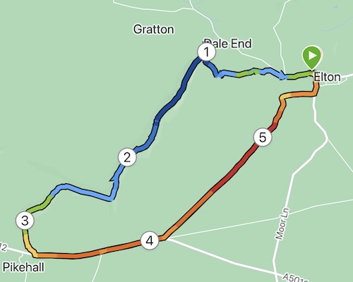
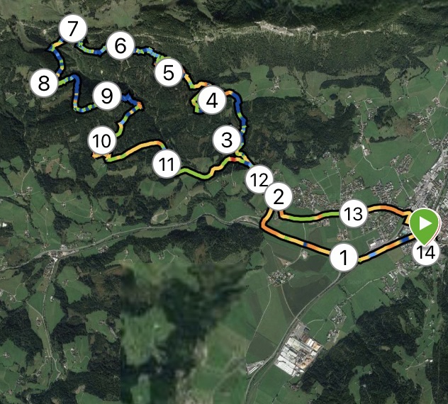
I had spotted Elton on my OS map and noticed that it had a couple of dales in easy reach of the small village. It is only a short drive away – no more than 10 mins – so perfect as a starting point on my epic ventures in Derbyshire.


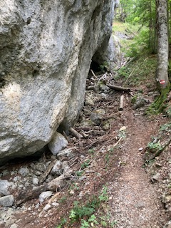
I parked close to the church. The village is lovely, with old and new houses blending in well together. No shop, but that’s nothing out of the ordinary these days. I set off down the road and met my first obstacle- actually, the only obstacle of the day. There were two (at least) paths shown going off at the farm but on the ground the one I wanted didn’t exist. Unperturbed, I followed what I thought should be the right of way following a line of trees around the farm. It was very muddy – mud is something I am going to have to get used to. Then where to go to at the other end of the farm buildings? Still no footpath signs, so using my common sense I skirted around the easterly edge of the buildings, the ground been mostly slurry – not attractive! And then, I spy a gap in front of me as if I was supposed to know I was on the right track all the time.
From there, it was downhill into an attractive valley – still no obvious path – but as I had my trusty map I knew I was going in the right direction. Finally it became clear as I reached a gate with a signpost. I could also hear voices just ahead of me. At Dale End, very appropriately named, I turned left to see the owners of the raucous laughter. A small family, doing their best to cover up a noticeboard? Um… interesting? It turns they were the lead family in a massive group of 30 people on somebody’s 50th birthday spree involving a treasure hunt. The family were way ahead of their party and sabotaging all the clues :-). I was warned about mud, but I hardly needed warning after what I had been through already.


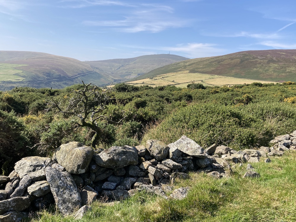
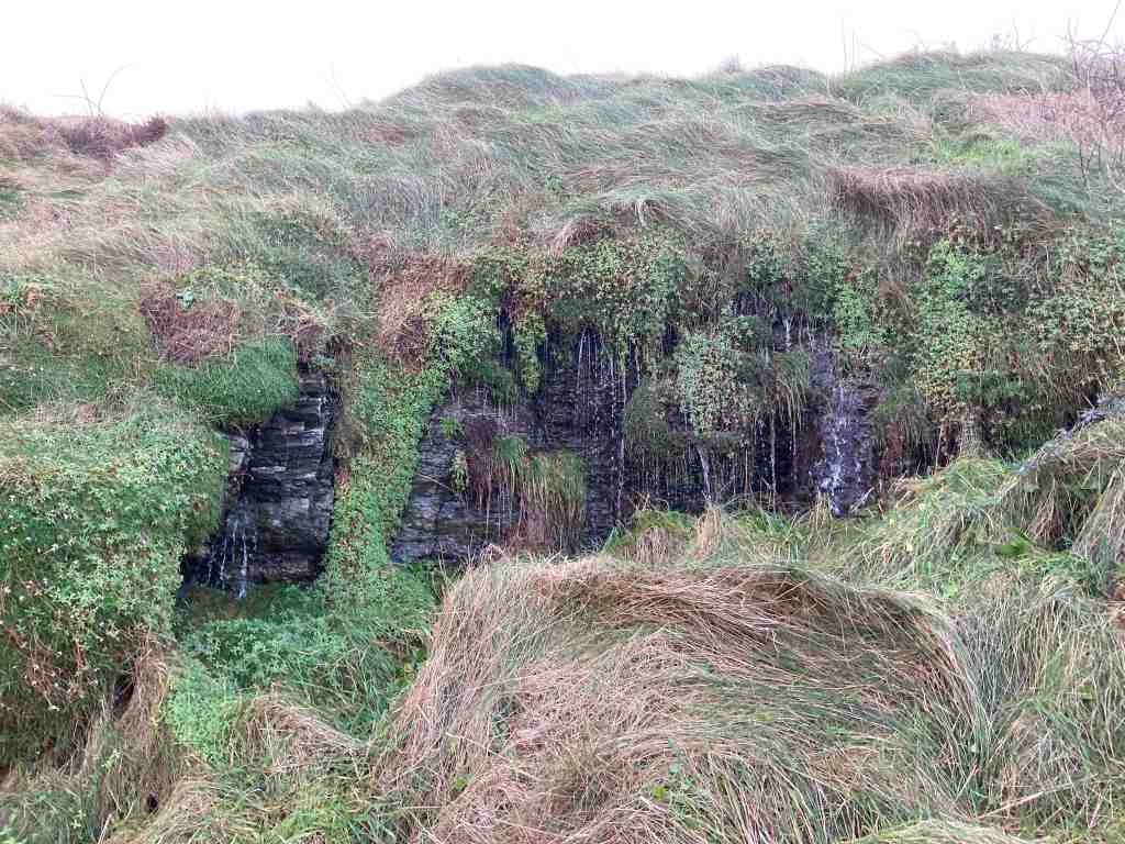
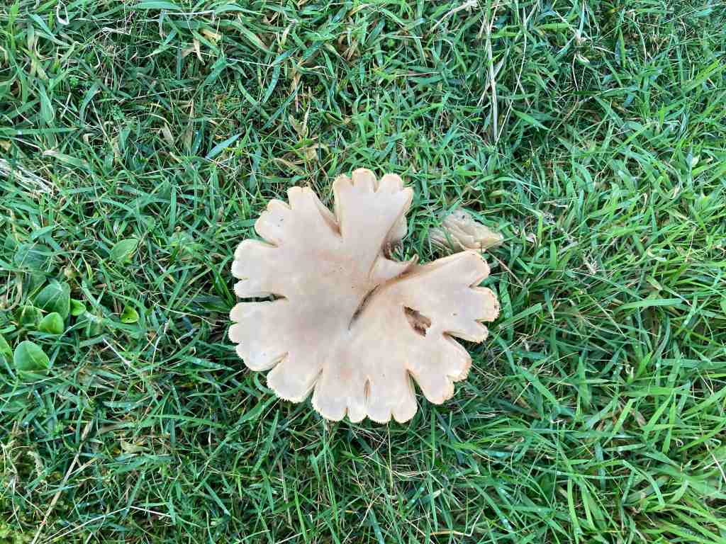
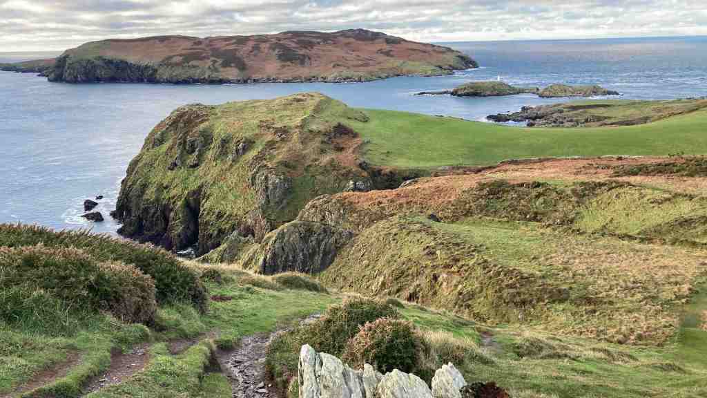
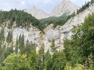
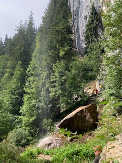
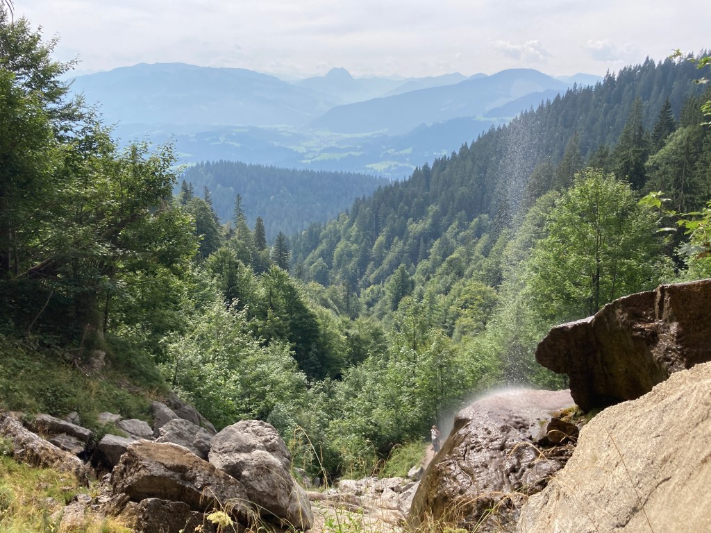
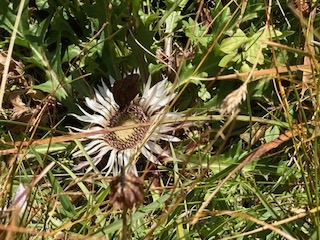
Gratton Dale is a mostly dry, narrow valley with low scrub and green hillsides. It was still quite green with only a few autumnal colours, and I imagine in spring it will come alive with flowers and birdlife. I did see several butterflies and squirrels, but otherwise it was mostly devoid of active natural life. I had walked for many minutes before I met the remainder of the birthday party group – they were very spread out, laughing and enjoying each other’s company. Again, they warned me about mud! See what I mean?

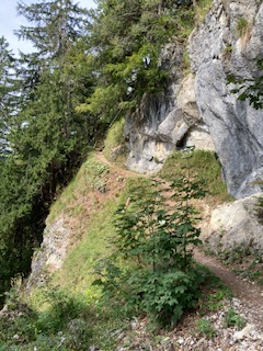
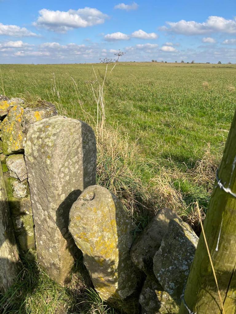
This part of Gratton Dale continues for about 1 mile, when it reaches an abrupt end, rather like a T junction, with a hill banking up in front and hills to either side. The path to the left is the quicker path to the main road, but I was still exploring the hills and dales, so I went up Long Dale to the right. Incidentally, there are some awkward stiles just here that require care when climbing over. My old IOM walking Whatsapp companions “No, Not Another Stile” would no doubt be shaking their heads 🙂 .

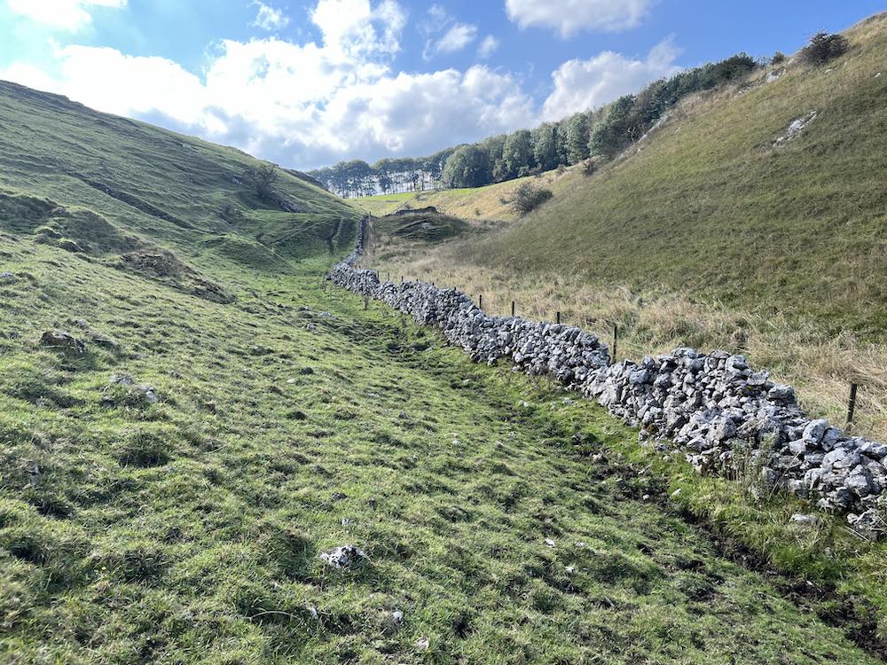
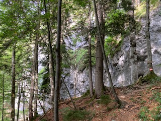
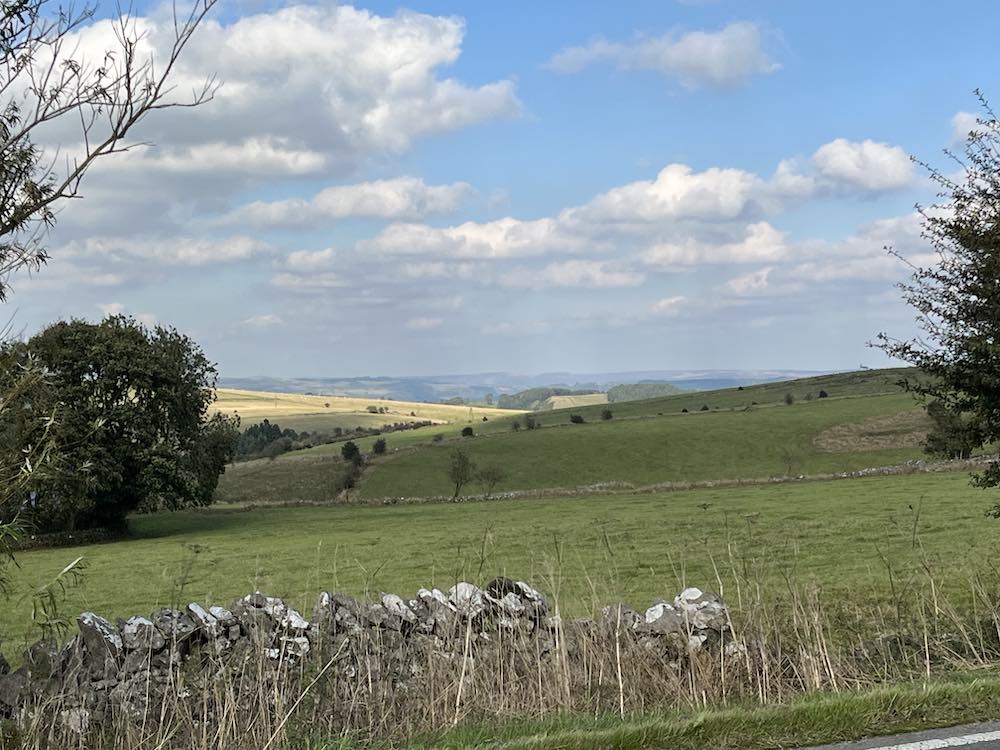
Long Dale was short but lovely. There was a sense of timelessness about it, of people walking along these tracks from place to place with their sheep or youngsters frolicking about on lazy Sundays. I enjoyed it very much. All too soon, it was time to go into the western section of Gratton Dale. This was more open than the eastern side and followed a low stone wall all the way along, presumably a boundary of someone’s land. As I reached the end I was met by a herd of cattle who were clearly not going to budge so I had to elevate myself above them to get round. They didn’t even ‘moo’ to acknowledge my respect for them.
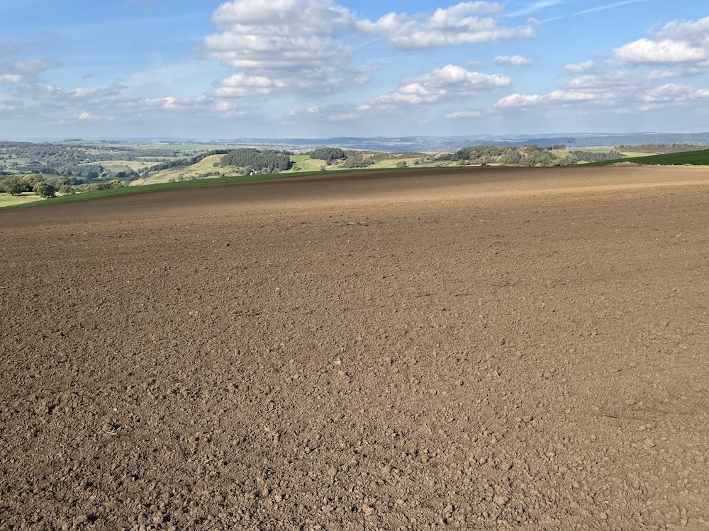
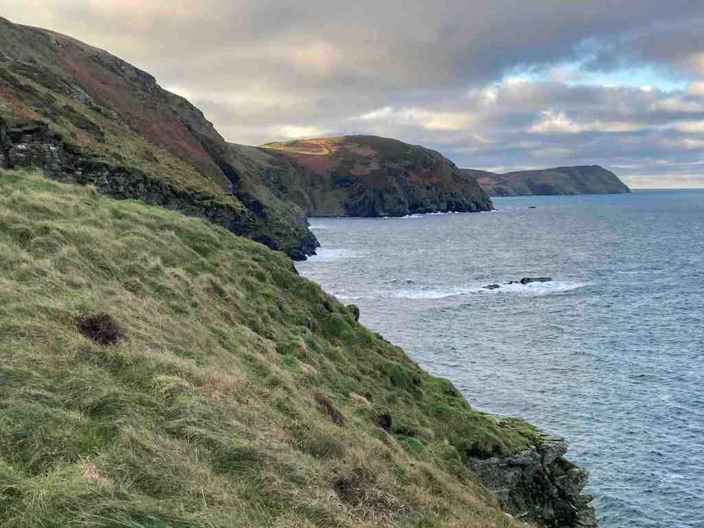
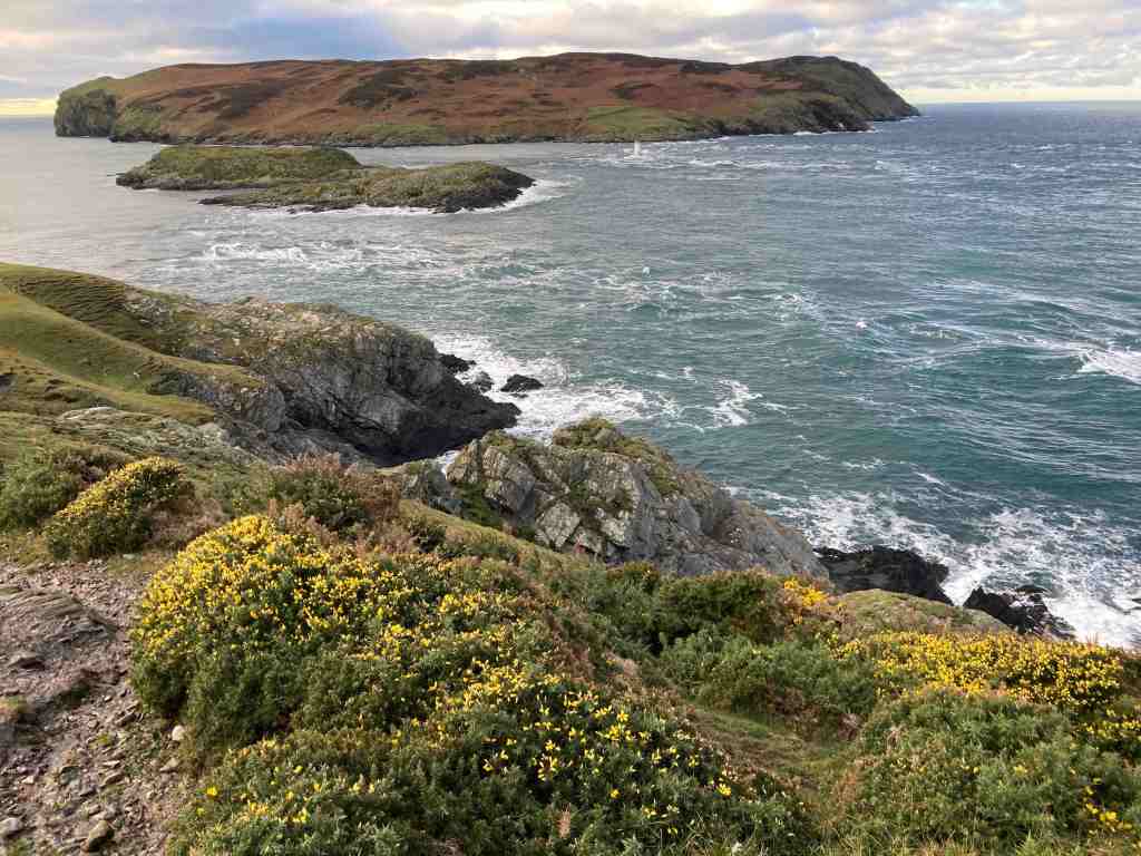
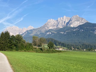
The next mile is very boring in one sense, in that it follows a main road. There is no real alternative, but once off the road it is plain sailing on grassland and ploughed land, and no stiles. It’s also in a dead straight line, so you barely need a map going from field to field. This time, you just have make yourself very slim to sidle between two stone posts. The birds were in their element here, lots of them, nesting? in the low growth. I couldn’t work out what birds they were. I did try, but my App gave me silly answers. One of the very large fields had only just been ploughed so I had to blaze the right of way through it, just in time to meet the 30 party-goers again on their way back to Hollybush Farm. The views all along the main road and into these fields is amazing. You need see it to appreciate it, as the distances are too big for a photograph.
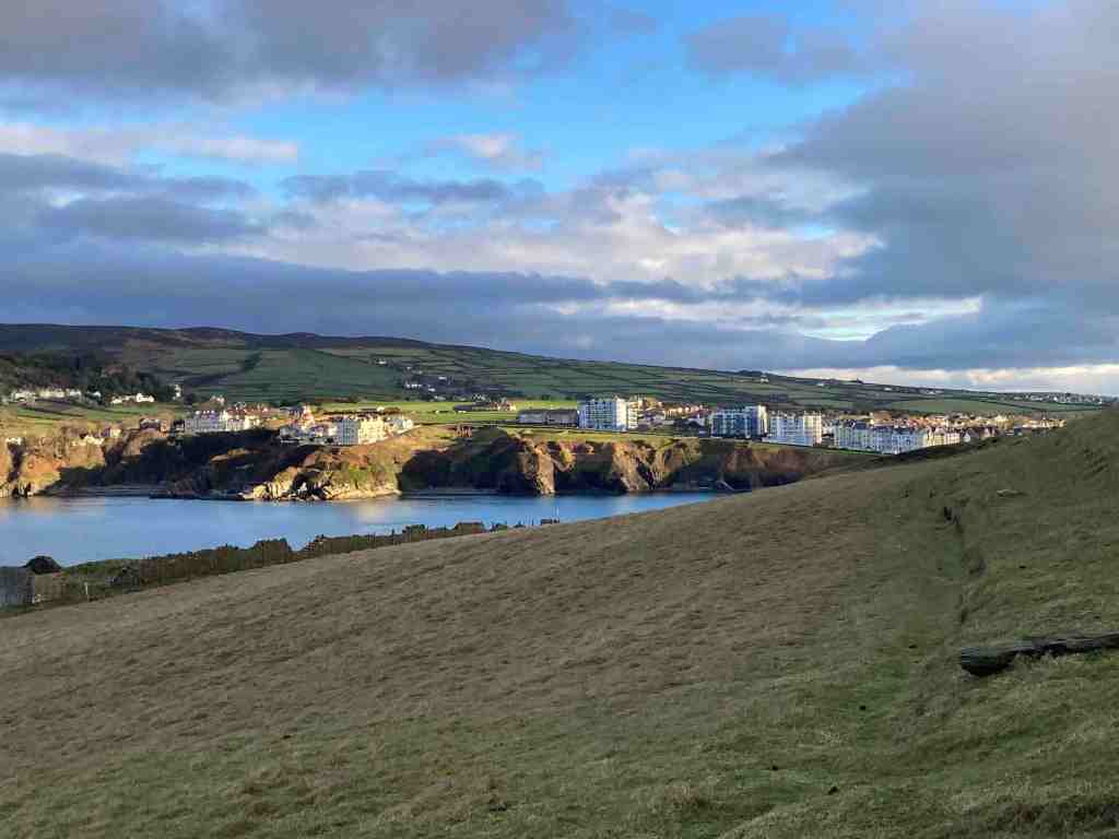
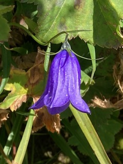
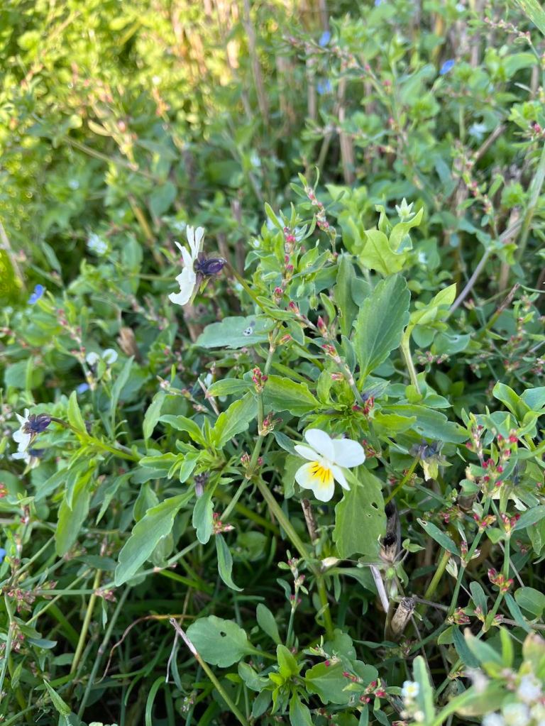
From the high open fields, it is a gradual descent into Elton. There was a surprising number of wildflowers, including the tiniest primrose I have ever seen, on the very windy upland part of this walk.
This is not a long walk, but was fairly strenuous with the mud and rocks in the valleys. It’s one I shall look forward to doing it in other seasons, if I can find a better way around the farm at the start.
STATS -Distance: 5.66 miles; Total Ascent: 568 ft; Total Descent: 479ft. Total time taken 2hrs 26 mins; walking time 2hrs.