Hassop Station Short Walk

This was my first walk with Matlock U3A. They have a ‘short’ walk group and a ‘longer’ walk group. The short walks are up to about 5 miles, start at 10am and finish by lunchtime, but there is often the option of extending it with a lunch at the end of the walk.

The weather did not look promising as we started out, it having been raining cats and dogs in Matlock over night, with an equally unpromising forecast for the morning. Undaunted, but wrapped up in wet weather gear, I walked down to Sainsbury’s to meet my lift.

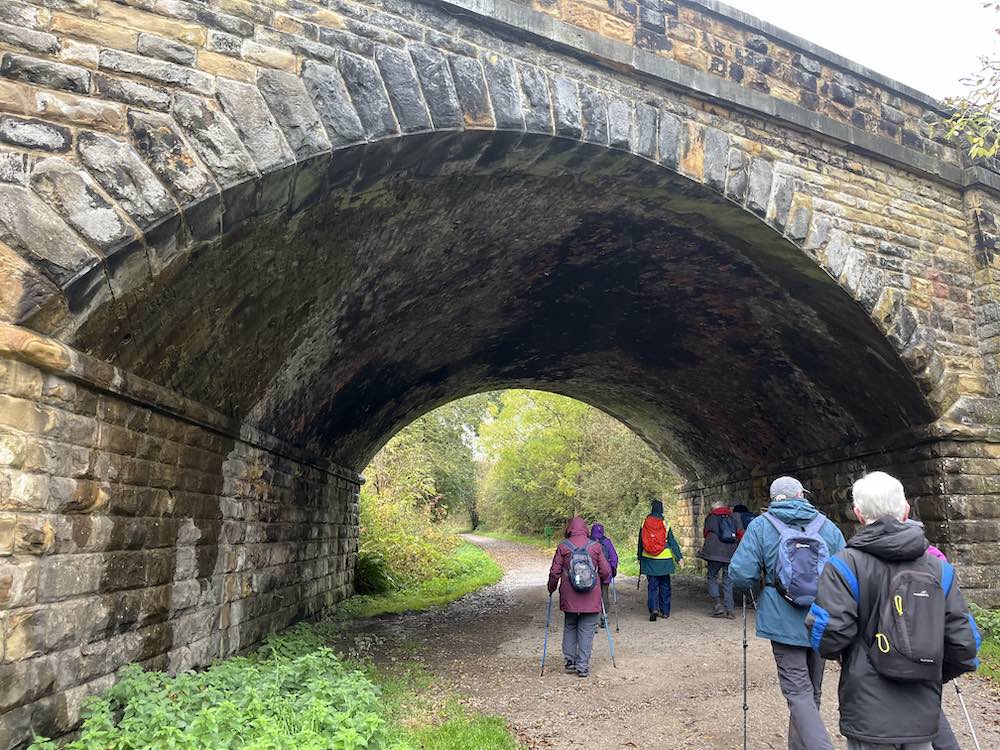
Parking at Hassop Station cafe involves paying for parking. If you prefer to avoid payment, many people had parked down a nearby lane. Hassop Station cafe is directly next to the Monsal Trail so it is a popular starting point, as it is a nice flat walk to Monsal Head, one of the highlights of this area in the Peak District.

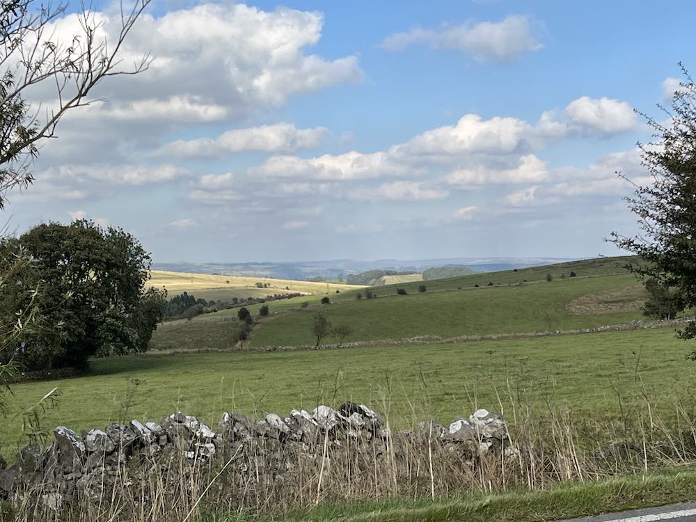
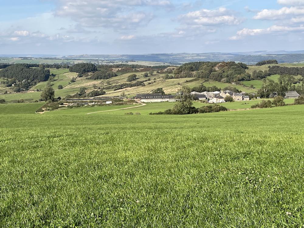
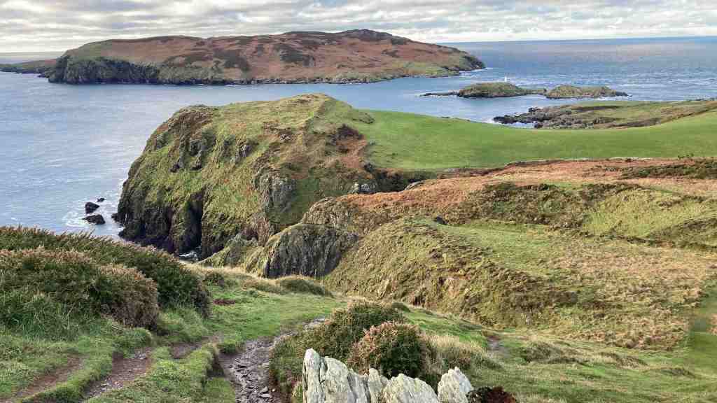
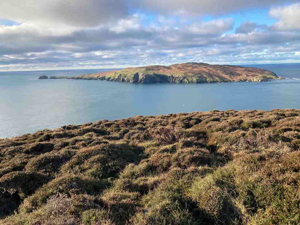
Our walk was short, as expected, and indeed was only just over 3 miles altogether. Never disparage short walks – they have a place; for those short of time, for those exercising dogs, for those in less robust health. The views, even in inclement weather, as today, still offer something very exciting, and it’s good to see nature in all its moods and seasons.

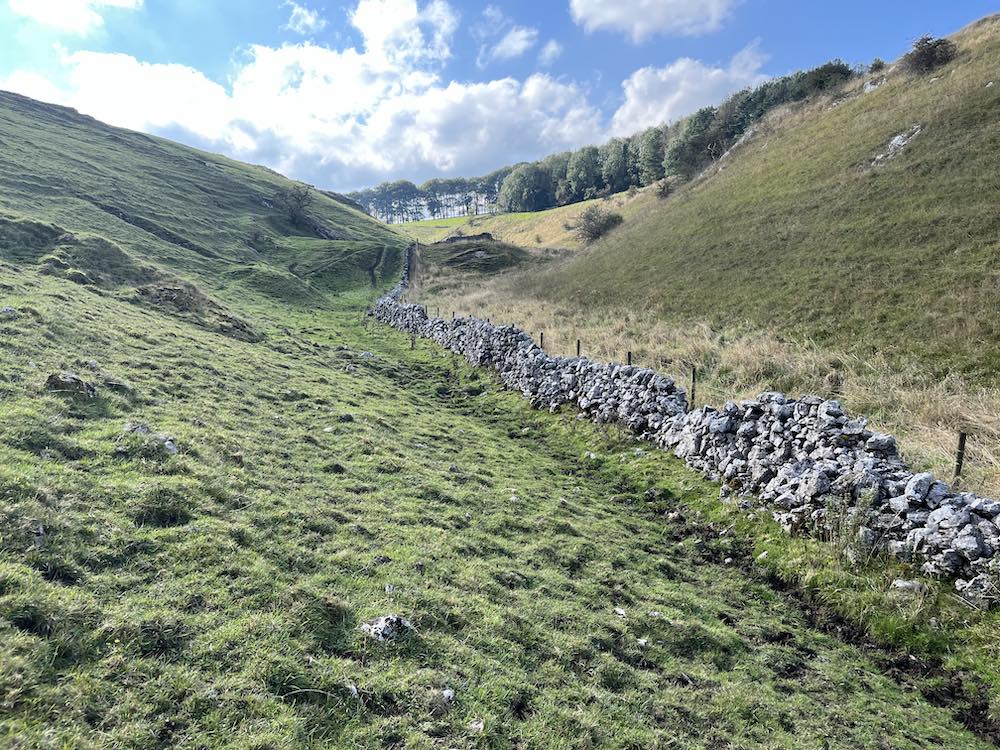
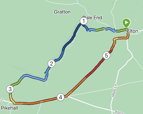
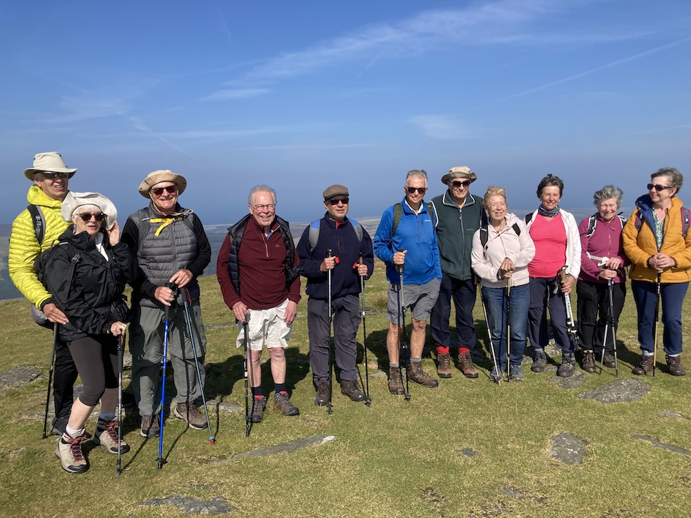
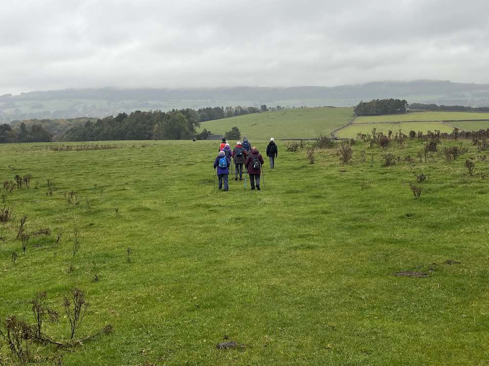
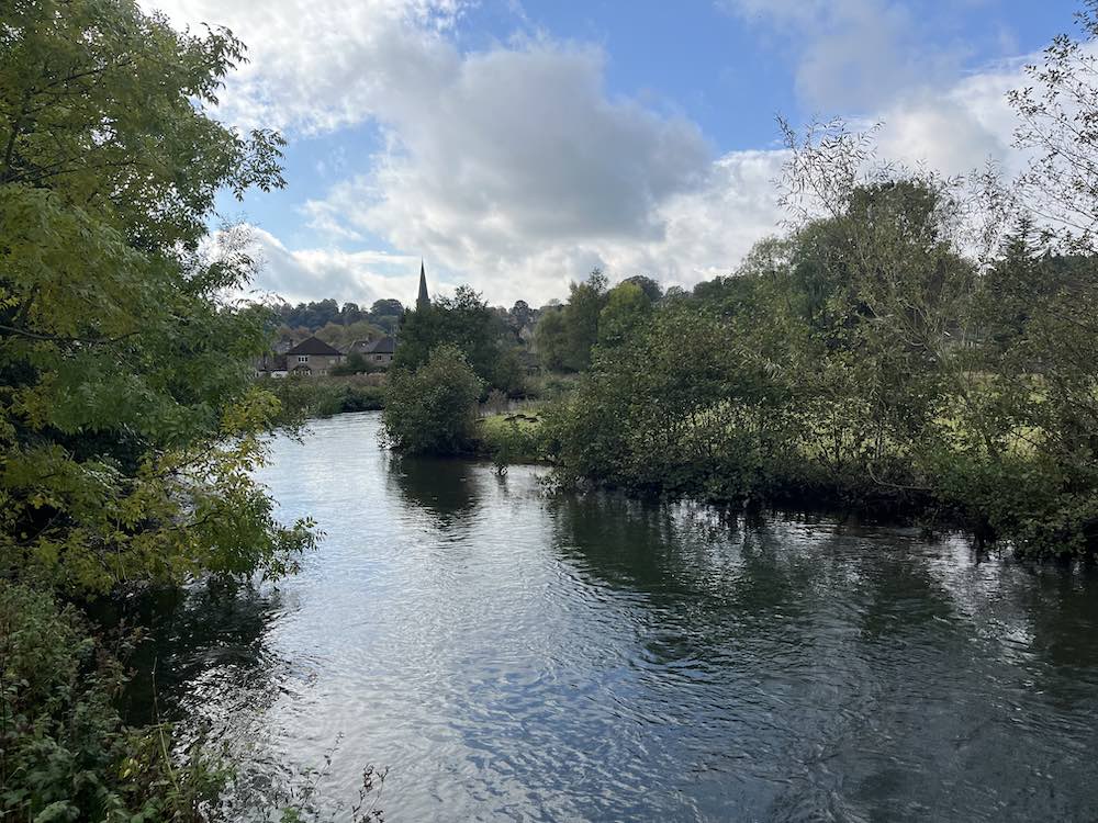
Our group of 13 people started northwards along the Monsal trail, but only for a short distance. We then turned left onto a stony footpath leading uphill, and very soon we could see hills in the distance in all directions. There was a chill in the air and even the cattle seemed to be moaning about the weather, looking forlorn and bedraggled on the hillside. This footpath ultimately leads into Bakewell and as we went down the hill it looked quite mystical in the hazy mist that was covering everything.

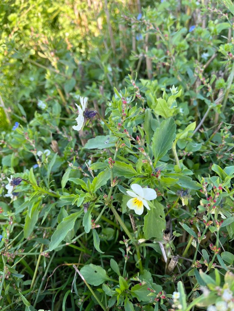
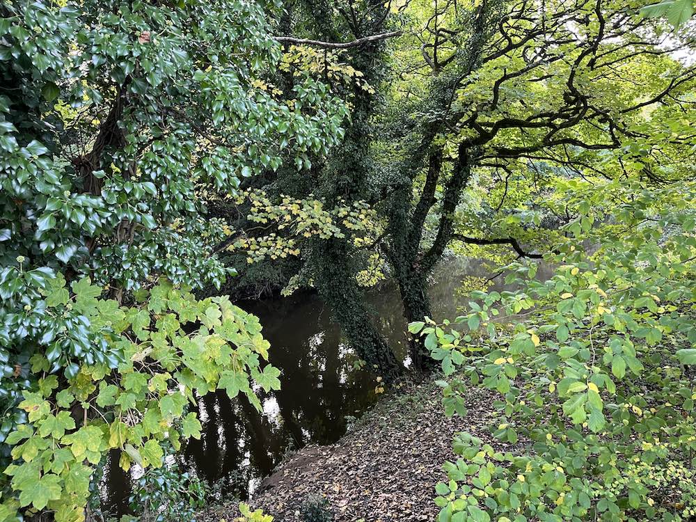
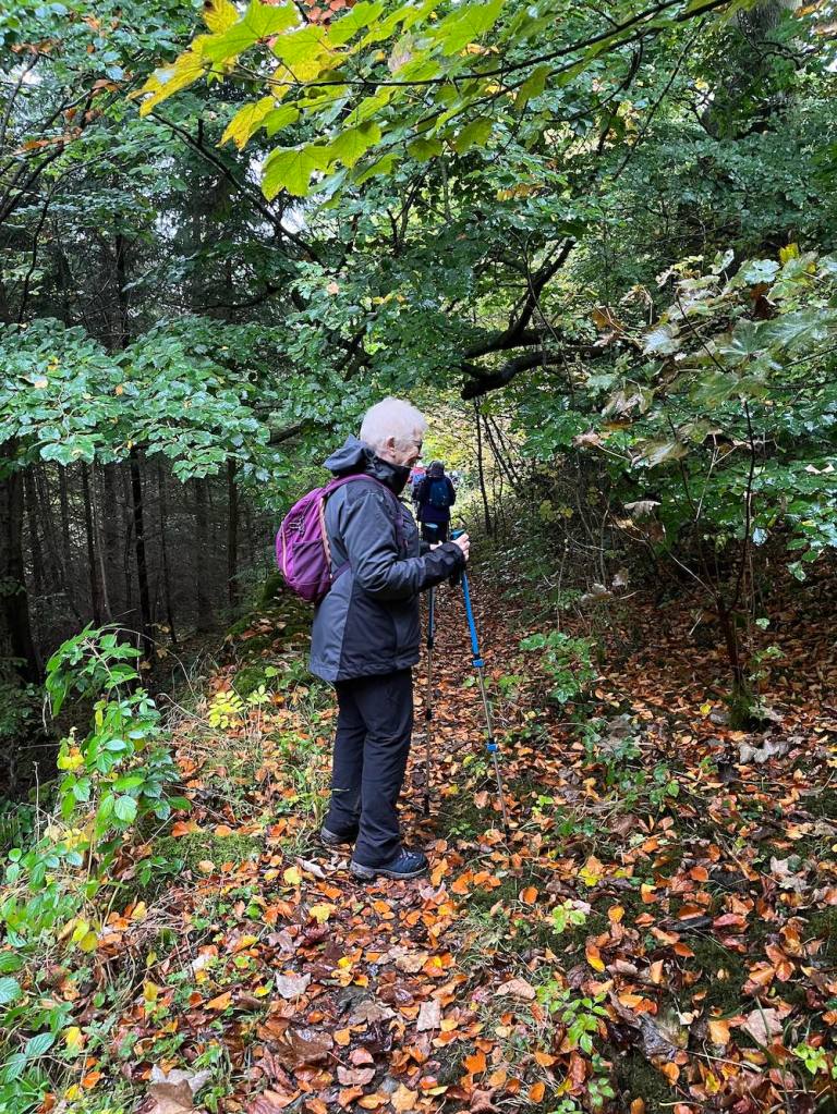
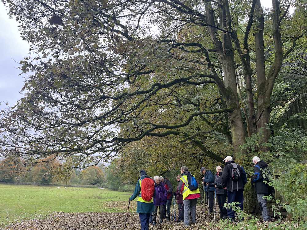
Avoiding Bakewell, the next section of the walk turned right across beautiful meadows towards the top end of a wood. I loved the wood with its tall trees dripping leaves of autumnal colours. This was their land and their ownership of it was clear.; we were just passing through like millions of people over the centuries. I may be exaggerating here, but why not! We need a bit of imagination and am appreciation of beauty, and what’s a bit of hyperbole between friends. At the end of the wood, the path emerges at the top end of a short dale that goes down towards Bakewell. We went in the opposite direction and joined a small, but busy road, for a short distance before regaining the Monsal trail. It was then a direct walk back to Hassop station.

Hassop station had been busy at 9.30am and the cafe was even busier at 12 noon. There is a pleasant covered area to sit outside and some takeaway vans for coffees, pizzas and cakes, so we finished our time together with warm drinks and food. The inside cafe is excellent if you don’t mind queueing, and there are toilets both inside and out.

The others then made they way home, whereas I decided to walk into Bakewell as the weather was improving. I would mess around there for a short time, buy myself a nice apron and some stamps (way more expensive in England than the Isle of Man), and then it was time for ‘hunt the bus stop’, which was in a different place than all the other bus stops – but in a very sensible and I should say, very obvious place!

Stats for U3A Walk: Distance 3.09 miles; Total Ascent: 295ft; Total Descent: 262ft; Total time taken 1hr 55min; actual walking time 1hr 23 mins. Add on another mile + to go into Bakewell.

Elton, Gratton Dale and Long Dale

This was Saturday’s walk, or was it Sunday. You tend to lose track of time, when there aren’t appointments on the calendar and one day merges into the next. That will change as I become more involved in the locality. I have already met a few people with the U3A in Matlock, and I shall be going to table tennis tomorrow and out with a ‘short walk’ group on Saturday.

I had spotted Elton on my OS map and noticed that it had a couple of dales in easy reach of the small village. It is only a short drive away – no more than 10 mins – so perfect as a starting point on my epic ventures in Derbyshire.

I parked close to the church. The village is lovely, with old and new houses blending in well together. No shop, but that’s nothing out of the ordinary these days. I set off down the road and met my first obstacle- actually, the only obstacle of the day. There were two (at least) paths shown going off at the farm but on the ground the one I wanted didn’t exist. Unperturbed, I followed what I thought should be the right of way following a line of trees around the farm. It was very muddy – mud is something I am going to have to get used to. Then where to go to at the other end of the farm buildings? Still no footpath signs, so using my common sense I skirted around the easterly edge of the buildings, the ground been mostly slurry – not attractive! And then, I spy a gap in front of me as if I was supposed to know I was on the right track all the time.

From there, it was downhill into an attractive valley – still no obvious path – but as I had my trusty map I knew I was going in the right direction. Finally it became clear as I reached a gate with a signpost. I could also hear voices just ahead of me. At Dale End, very appropriately named, I turned left to see the owners of the raucous laughter. A small family, doing their best to cover up a noticeboard? Um… interesting? It turns they were the lead family in a massive group of 30 people on somebody’s 50th birthday spree involving a treasure hunt. The family were way ahead of their party and sabotaging all the clues :-). I was warned about mud, but I hardly needed warning after what I had been through already.

Gratton Dale is a mostly dry, narrow valley with low scrub and green hillsides. It was still quite green with only a few autumnal colours, and I imagine in spring it will come alive with flowers and birdlife. I did see several butterflies and squirrels, but otherwise it was mostly devoid of active natural life. I had walked for many minutes before I met the remainder of the birthday party group – they were very spread out, laughing and enjoying each other’s company. Again, they warned me about mud! See what I mean?

This part of Gratton Dale continues for about 1 mile, when it reaches an abrupt end, rather like a T junction, with a hill banking up in front and hills to either side. The path to the left is the quicker path to the main road, but I was still exploring the hills and dales, so I went up Long Dale to the right. Incidentally, there are some awkward stiles just here that require care when climbing over. My old IOM walking Whatsapp companions “No, Not Another Stile” would no doubt be shaking their heads 🙂 .

Long Dale was short but lovely. There was a sense of timelessness about it, of people walking along these tracks from place to place with their sheep or youngsters frolicking about on lazy Sundays. I enjoyed it very much. All too soon, it was time to go into the western section of Gratton Dale. This was more open than the eastern side and followed a low stone wall all the way along, presumably a boundary of someone’s land. As I reached the end I was met by a herd of cattle who were clearly not going to budge so I had to elevate myself above them to get round. They didn’t even ‘moo’ to acknowledge my respect for them.

The next mile is very boring in one sense, in that it follows a main road. There is no real alternative, but once off the road it is plain sailing on grassland and ploughed land, and no stiles. It’s also in a dead straight line, so you barely need a map going from field to field. This time, you just have make yourself very slim to sidle between two stone posts. The birds were in their element here, lots of them, nesting? in the low growth. I couldn’t work out what birds they were. I did try, but my App gave me silly answers. One of the very large fields had only just been ploughed so I had to blaze the right of way through it, just in time to meet the 30 party-goers again on their way back to Hollybush Farm. The views all along the main road and into these fields is amazing. You need see it to appreciate it, as the distances are too big for a photograph.

From the high open fields, it is a gradual descent into Elton. There was a surprising number of wildflowers, including the tiniest primrose I have ever seen, on the very windy upland part of this walk.

This is not a long walk, but was fairly strenuous with the mud and rocks in the valleys. It’s one I shall look forward to doing it in other seasons, if I can find a better way around the farm at the start.

STATS -Distance: 5.66 miles; Total Ascent: 568 ft; Total Descent: 479ft. Total time taken 2hrs 26 mins; walking time 2hrs.

Screenshot

I’ve arrived..

My time up until now has largely been spent unpacking and carrying out the huge amount of admin involved with moving from one country to another. The Isle of Man, another country? Yes, it really is, and you really find out just what the differences are when you move back to England. For instance, I can’t drive the car until it is Mot’d (no Mot required on IOM) – done; then the car has to be re-registered with DVLA and Uk vehicle tax paid (pending); then I have to wait for the log book to be returned with the new registration number (pending); then I have reinsure the car (eventually) with new number plates (eventually); change IOM driving licence to UK driving licence (pending) – then I can finally drive my car. I am insured on my IOM insurance meanwhile, but technically it is illegal to drive until the process is complete.

Then there is the issue of getting a bank account – ideally, I wanted a bank with a branch in easy reach of Matlock and that means Nationwide, as everything else has either closed down or is about to close down. This seemed easy, until I tried to make my new current Nationwide account my nominated account for my NSandI account and my Skipton International account – and both refuse to verify Nationwide. NSandI can’t say why, or how long it might take for it to be verified. So, if IOM Bank decide to close my accounts, which they usually do when a person moves off-island, I shall have no direct access to the money in NSI or Skipton. And considering NSandI currently has my house sale money, this somewhat displeased me. The only way I could withdraw it in order to get a better interest rate in the short term was for them to send me a Banker’s Order, and indeed this is the only way I shall be able to withdraw money from NSandI until the Nationwide account is verified or I open a new (pointless) current account! If it’s good enough for the government to pay my pension into it, I can’t see what makes NSandI or Skipton any different.

Everything I have touched over the last two weeks seems to have had the same complications – and you can imagine the endless hours I have spent ‘on hold’ trying to sort out one issue or another.

BUT…. I am almost there, except this nagging nominated account problem. So, on Friday, on a lovely sunny afternoon, I put all this on one side and walked along the valley bottom to Darley Bridge and back along the other side of the river. It is taking time to get used to the noise of traffic, but it’s not as bad as I expected it to be. I really like Matlock, as a small town, with quaint shops and streets, and the river winding through it. And the countryside is just beautiful, in every direction. There are some wonderful footpaths not too far away from my apartment, including this one and just 5-10 mins in the car opens up a huge range of options for walking.

The valley walk was a good tonic. I know I shall be happy here, and there will so many footpaths to explore when I need some calm or a pick-me-up. Even better was a lovely walk I did yesterday around Elton, which I shall write up tomorrow.

Farewell to the Isle of Man

We could not have wished for better weather on our Saturday walk. It was warm and sunny, if a little misty. 11 of us set off on the tram up to the top of the mountain, where it was somewhat breezier than down below in Laxey. The moors were wetter than we were expecting and care was needed going down to Black Hut. Crossing the road a strong boardwalk has been created over the bog, one of the best I have ever seen. We paused momentarily to watch a female damselfly lay her eggs in the water. It was a short uphill walk and then we had the splendid views of the Conrhenny valley with North Barrule and its associate hills on our left (after moorland photos). It was beautiful. We decided not to do the higher ridge walk over heather, which in hindsight was a good thing as a few people were wearing shorts and one person’s shoes fell apart. Not that it was easy walking on the lower track as it is very stony and uneven. One of the party said that this had been a nice grass track in the past, but has been destroyed, I guess, by the motorbikes and cyclists that are allowed on this path. It was a steady walk down to Laxey, past King Orry’s graves and back to our starting point at Laxey railway station. A very memorable and happy day, with good friends, who I will dearly miss.

The Monday walk was a different affair altogether, with absolutely pouring rain. My camera and phone stayed firmly in my rucksack the whole way. Fortunately, it was only a short 3 mile walk, but even so, those of us who did venture out thoroughly enjoyed it. We looked at the different vegetation and vistas and we had a jolly good natter. The heritage trail from St Johns to Peel (it starts at Douglas) is of course flat and relatively wide, which makes it easy to communicate. The path is ‘wearing’ in well, after its overhaul a few years ago, when it was very hard underfoot. It is more pleasurable to walk on now, and of course, around the Raggatt is is beautiful.

As I had mis-guessed the length of the route, thinking it was 5 miles not 3 miles, we arrived early at Peel, which gave me time to say goodbye to Lara at the Manx Wildlife Trust and to get a coffee before the rest of the party arrived for lunch. Our small number of 4 then swelled to 10. They were certainly drier than we were, but everyone was very happy. We had a super meal at the Marine Hotel. Everything was cooked to perfection and served in good time.

This was a different, but just as enjoyable way of saying cheerio to yet more friends. I shall have some very fond memories of my last few days on the Isle of Man and I thank you all, and those who couldn’t attend, for making my life here on the island so happy.

So, this is me signing off from the Isle of Man. Once I am established in England I shall revamp the blog and have sections for different areas of the country and abroad. I was walking in the uplands of Norway recently and that was truly spectacular…

Change of domain name

As I am moving off island, I want to retain the old IOM site and all its details, so I have created a new domain name that (I think) will do this and allow me to develop a site for Derbyshire. You should see that the site is now redirected to Walkingwithgill.blog.
When I work out how to do it, I’ll change the main title (and cover picture once I have moved) to reflect the new domain.

Meanwhile, I will post photos of the two farewell walks in a couple of weeks.

Thank you for following my blog, and I hope I can retain your interest in my new location.

Moving off Island

After almost 11 very happy years on the Isle of Man, I am moving back to England for a mixture of reasons – the most important to be closer to my family. I expect to move mid-end September and I shall be renting in Matlock for the time being.

I am holding two ‘Farewell Walks’, one on Saturday 31st August, which will be a longer walk starting at Laxey, taking the tram up Snaefell and walking back, hopefully over the tops into Laxey. A distance of about 7 miles. The second is on Monday 2nd September, and is a low level walk along the Heritage trail from St John’s to Peel, about 5 miles. Anyone who has been following my posts is welcome to join me on either day, but I do need to know if you want to come on the Snaefell walk in order to book the tram for the correct number of people. If you have not already received an email from me and would like to come along on either or both walks, please email me at grlockett@gmail.com and I’ll send you all details.

Obviously “gillsisleofmanwalks.blog” will not continue unless someone is interested in taking it over. I have been asked if I will set up a new blog ‘gillsderbyshirewalks’ and this is possible, in which case I will try and incorporate the existing Isle of Man walks into a special section on the new blog. I’ll let you know when I have set this up.

Thank you for your interest in my blog over the years and I hope some of you, if you are on island, will be able to join me to say cheerio.

Slieau Ruy and Greeba Mountain

Hallelujah – she’s been on a walk at last, I hear you say. Well actually, I was in the Lakes a few weeks ago, just over the Easter weekend, and I did a couple of absolutely delightful walks, one up the precipitous Cats Gill, which was quite taxing for an oldie like me, but quite exhilarating too, and another long and lovely walk between Skiddaw and Blencathra. I had lost a bit of confidence for walking on my own, but these two days thoroughly revived me.

Today, back on the Isle of Man, I ventured to the middle of the island, to Crosby (though, for some reason my car decided that I should go via Foxdale, so I was a little late starting!). I plenished my stocks with a £3.50 excellent meal deal from the Coop and started up the lane, a route I know well. At the top of the lane, the path becomes the Millenium Way for a short distance. It is a steady climb, not just this bit, but for a full 3 miles until you reach the junction on the ridge walk. It is not a difficult walk but it is a little cumbersome as the cows and bikes have churned up the path quite a lot so I was often on pats of muddy grass rather than a path. Ahead of me was a guy on a bike and I did wonder how he was coping. I eventually found out when I caught him up. I don’t think he was particularly enjoying his bike ride but I assured him it would get better when he reached the top.

It was fairly dull day at this stage, although visibility was reasonable and I could see all the big hills and as I reached the top of Slieau Ruy, having traipsed first over Larghee Ruy, the vista of the whole of the south opened up in front of me. Langness looked like a little squiggle or an afterthought to god’s creation, and I did think it might entirely disappear with climate change.

After from the biker I didn’t see a single soul, not even in the distance. The ridge walk is only short, about 2 miles, though on another day you could take in Colden to extend time at the top. After Greeba Mountain, the only sensible way down in through the forest. The descent is not great. It looks as if the path has been ‘repaired’ but it is full of small stones of different sizes and the gradient is quite steep, so this was not particularly pleasant. Far easier to walk on the heather, but I didn’t do this. I was glad to reach the edge of the forest after about 15 mins. This is then a very pleasant walk on soft turf in the quiet eeriness of the forest. I had made the decision that I would take a detour from the forest and cross the small stream and follow an old road back to Crosby. I enjoyed the stream – it was in full pelt and there were some stepping stones which were fun to cross. It is a permissive path, but obviously well used.

However, I missed the connection with the road beside the house, indeed I never even saw it, but no matter I continued on the permissive path which was absolutely delightful. The gorse was in full bloom and the path went over grassy fields. This did mean, though, that I ended up back on my original route. Looking at the map, and previously, on the way up, I had noticed another path going to the outer edges of Crosby, so of course, I had to try it. This is an old road, no longer used, and it was a joy to walk along, so my misdirection early on was of no consequence. The flowers were beautiful in the hedgerow.

This is fairly long walk of just over 8 miles, with 1600 ft of ascent /descent. It took me 4 hours, but if you decide to do this, I would allow 4-6 hours on a nice sunny day to stop and admire the countryside. I parked opposite the bowls club in Crosby on the lane by the stream. They are free toilets at the bowls club situated between two blocks so you don’t need to go inside. There is a Costa beside the Coop, so you can get a welcome drink after your stride out, if you so desire.

Change of blog site

With work commitments, most of which involve many long zoom calls a week, I am finding it hard to find the motivation to write up reports of my walks. This may change in the future, but for now, I am reverting to using my free site, which is isleofmanwalks803367537.wordpress.com, as wordpress is fairly costly if it is not being used regularly. If you are one of my followers, can I suggest you bookmark this new reference page.

Until my plan runs out in August, my individual website will remain live.

Thank you for all your support and the interesting communication I have had with so many like-minded walkers. I hope this will continue in the future. I shall keep you posted.

Around the coast at Port St Mary

I was out today with a small explorer group from the island, having been enticed by the title “Caves, Cakes, Coffee and Reindeer” walk or something like that. Don’t get ahead of yourself, we have no reindeer on the island; our host had very ably made some buns to resemble reindeer, it almost being Christmas, and very successful they were too.

I can’t tell you too much about this walk as our host, Andy, wants to keep his ‘secret places’ secret for others to explore and to this end, the hidden places should remain hidden. However, it is no secret to say that we parked at Kallow Point in Port St Mary on an extremely blowy day to start our walk. When we arrived, it looked as if it was already high tide as the waves were crashing about the shore, but high tide would still be a few hours away.

We walked towards Perwick and along the shore, scrambling over rocks where necessary and where we encountered a stranded and decidely dead Porpoise, having got beached in the massive overnight tides. It otherwise looked healthy, but the rocks round here can be treacherous as you can see in the photos. I won’t be giving too much away by saying that there are a few caves along this stretch of the coast, but you won’t find them unless you do a bit of adventuring. Similarly, there are some hidden beaches, and again, you won’t find them by sticking to the coast path. Unfortunately, the weather was just too windy to risk going down to some of the secluded beaches, which would have required fairly steep and rocky descents whilst fighting offshore winds, so we satisfied ourselves with knowing where they are for another time.

Our host was very knowledgeable and pointed out different types of rock, provided us not only with cakes and coffee but scavenged sea spinach from the cliffs encouraging us to taste a morsel of this salty herb. There was plenty of sea glass amongst the pebbles that interested some and some fascinating patterns in the stones, one in the shape of a cross on all sides. He told us about a hidden lake, so hidden that it is impossible to find unless you have a boat, so please don’t go looking for that! If you fancy a walk with a difference, they have a website and a FB page with details of forthcoming outings: https://www.facebook.com/happyexploreriom/

To finish, here are a few photos, none which should give away too much 🙂

Port Erin Circular

This was intended to be Port Erin to Castletown, but I really hadn’t thought it through; not only for the distance, which would have been 12 miles, but for the difficulty of the task. Hold on, you say, I’ve walked that many a time without any difficulty. True, I would reply, but not in winter when we have had weeks of rain. I hadn’t given this latter thought any consideration as I set out yesterday morning, to do the first walk in well over a year that I have been able to do entirely for myself with no hidden agenda.

It was slightly warmer that it had been, with no rain forecast and not particularly windy, so I was expecting great things. My first photo shows Port Erin looking its glorious self as I headed down Dandy Lane. The light was lovely, with the sun peeping out from the clouds, highlighting different parts of the cliffs, and in my first photograph the tiny lighthouse. My expectations were dampened as soon as I reached the coastal footpath. There was literally a torrent of water hurtling down the footpath and surrounding cliff as if there was no tomorrow. I just stood and stared it for a while; in all my times of walking this route, I have never seen anything like it. Don’t get me wrong, it was never going to prevent me carrying on, but what a sight. I could see a lady on the road below thinking I was absolutely nuts! It’s a good job none of my friends had been able to join me on this occasion, as I imagine some at least would have turned back.

It took a little negotiating. The photos don’t show full amount of footpath under seige. The rocks and steps were slippery and in places there really was no foothold on dry ground, but I got through and remained surprisingly dry. Above the wall, the stream was still gushing down but at least it didn’t trouble me any more. I guessed that there would be more of this to come, but I was wrong. Yes, there were some very wet and boggy patches but where I had to cross streams, they were perfectly passable. In some ways, the narrow paths were the worst, as they were slippery and uneven. But, what does all this matter when you stop and take a look at what is around you. The light was stunning, giving me my own personal light show, as it lit up different sections of the countryside as I went past. Looking down at my feet, there were three varieties of fungus competing with the grasses, moss and ferns for space.

I arrived happily at the Sound, but didn’t stop until I reached the next headland, Spanish Head. The climb up wasn’t bad at all, the footholds not too muddy, but now the footpaths did become very muddy and awkward, with deep puddles that were unavoidable. And still, I had seen no-one to spoil my enjoyment of the countryside, and indeed this continued to be the case until I reached the Chasms Cafe (5 miles into the walk). People often walk from Cregneash and Port St Mary up to this very special place, so it was unsurprising that I met two couples at this point. I sat in the shelter and had my coffee. Looking out to sea I could just see Anglesey in the distance. The routes down from here have lovely views of the south from Port St Mary to Castletown and beyond, but the walking is not comparable with the terrain I had just been walking on. Given that I have a jippy left knee and sciatica in my right leg, I thought enough was enough and there really was not a lot to gain by continuing on past Port St Mary. I could have shortened the route home by going up through Glen Chass or across the golf course, but I satisfied myself that I wanted to see the village and then take the back route home.

Total distance: 8.5 miles; 1352 ft of ascent; 1434 ft descent.

I have such a lot of nice photos from this walk, I have created a slide show for you. I had intended to edit a couple of them, but my computer won’t let me, so you have the raw versions.

My left knee pain seems to have resolved itself, but if anyone has any home remedies for sciatica, which has been plaguing me for a week now, do let me know!