Ramsey – Poyll Dooey (Black Pool) Nature Reserve

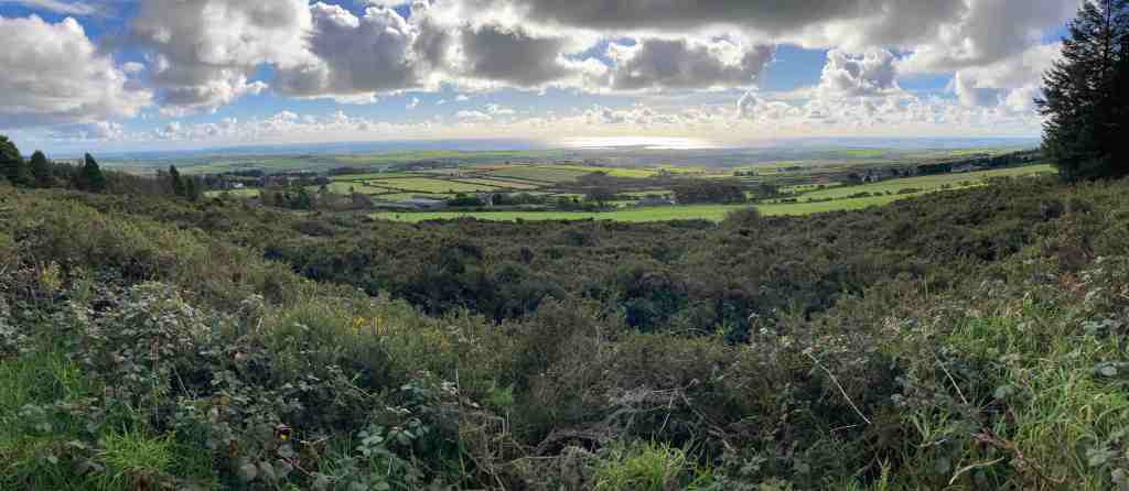
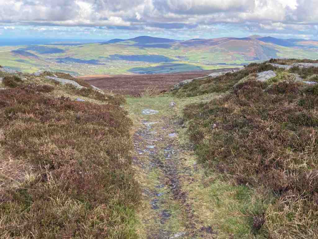
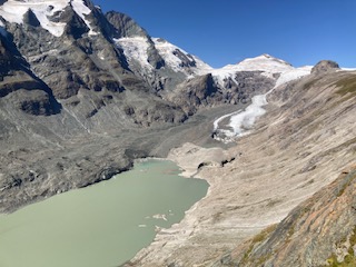
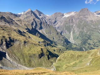
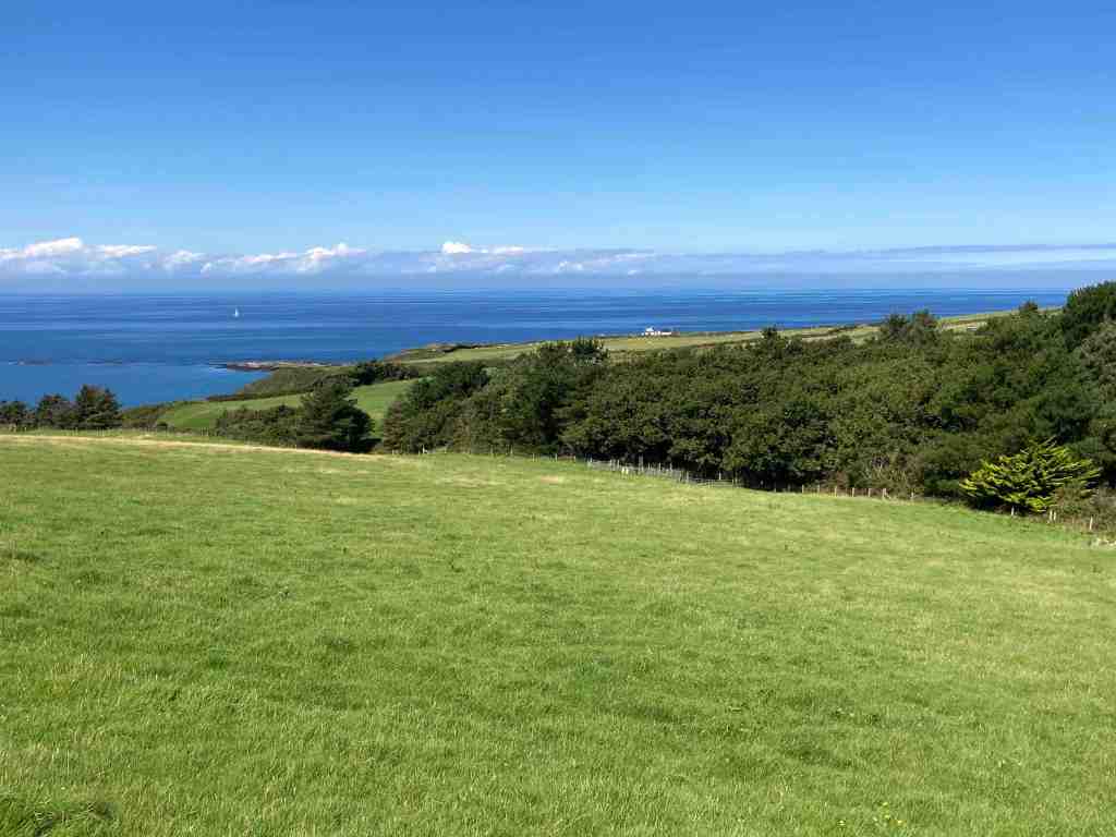
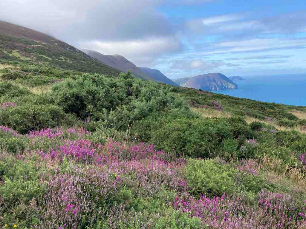
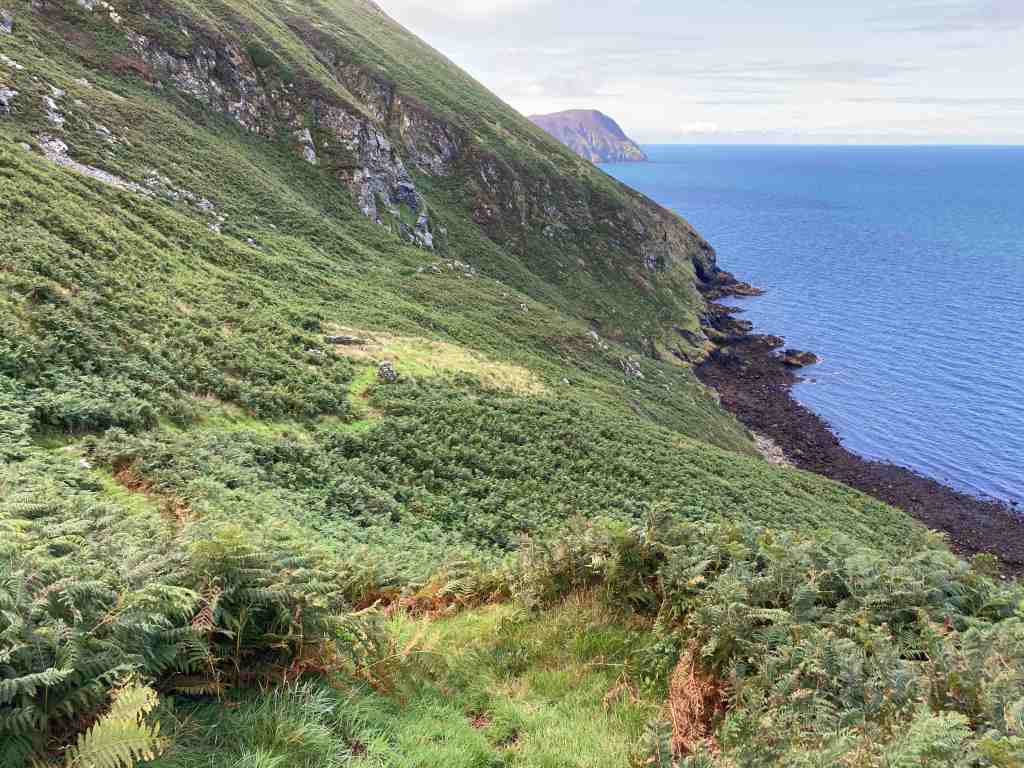
It seems a long time since I posted here! I don’t know what it’s been like where you live, but we seem to have had constant rain since July here on the Isle of Man, with only brief respites in between deluges. When we do have nice days, and they do occur sometimes, I am usually busy working. So, it was a delight to get out and up to Ramsey to do a recce of a very short morning route I am leading in 10 days.

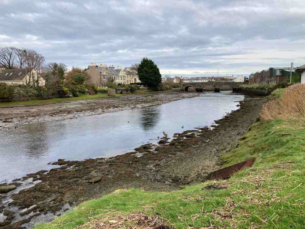
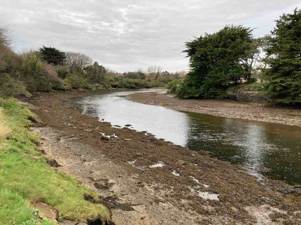
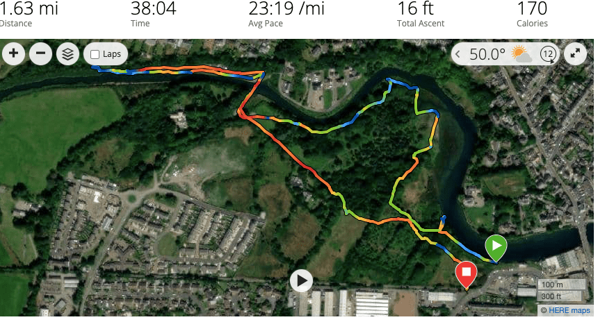
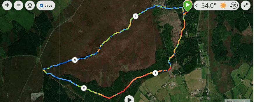
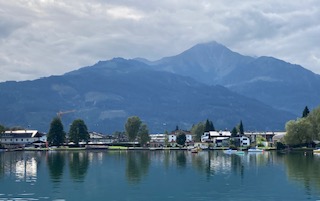
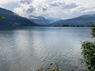
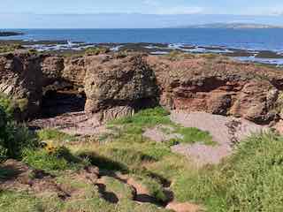
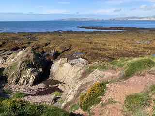
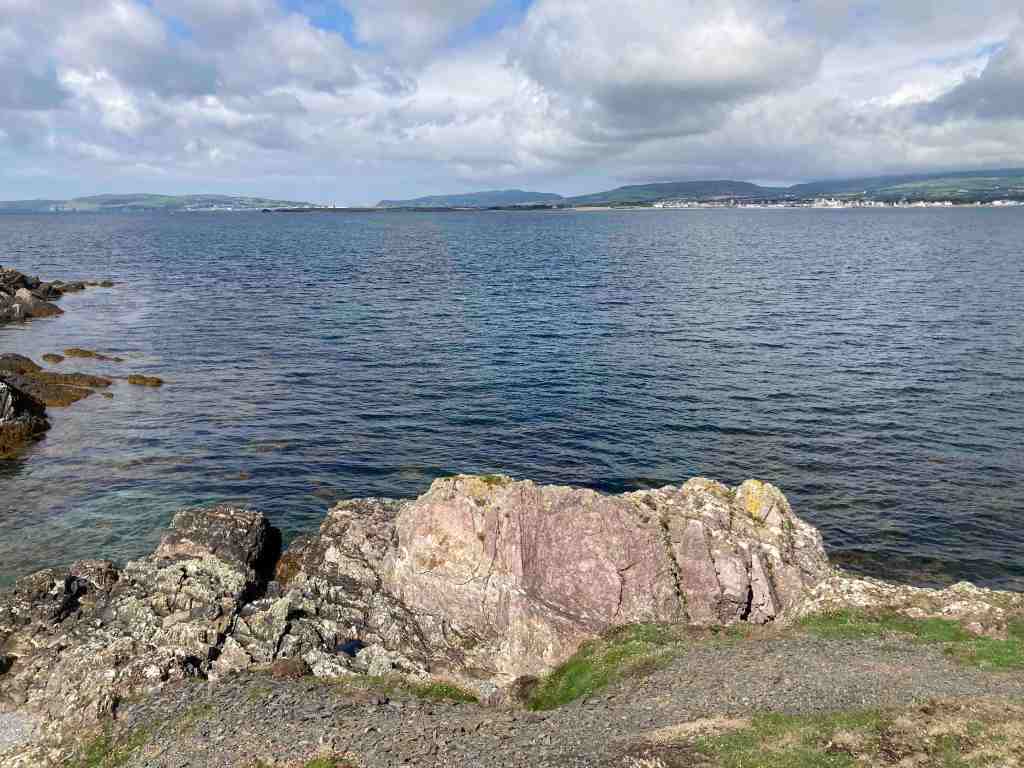
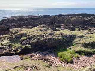
This 2 mile stroll is our build-up for our U3A Walking Group’s Christmas meal. We are having an afternoon walk later after our slap-up meal. Indeed, this will be my last walk for the U3A as leader and organiser of this group as I have decided to stand down. Parking at Milntown, it is easy to cross over the road and walk down Gardener’s Lane before turning onto the old railway track and heading east towards Ramsey. In the past, this must have been an attractive stroll, but the first half of it goes between newly constructed houses, and it is only when it reaches the outskirts of Poyll Dooey that the old track regains nature on either side of the path. The walk starts at the very end of the track, where it joins a road where you can see the river on the left. The views of the river are beautiful in both directions. It is a tidal river, constantly bringing crustaceans and worms into the mudflats that are exposed at low tide. The mudflats then turn into a salt marsh, an unique specialised environment that allows grasses and herbs to grow that cannot grow elsewhere. This in turn encourages a variety of wildlife that can feed off this specialised turf and soils. It is also beautiful, and unexpected being so close to the town.

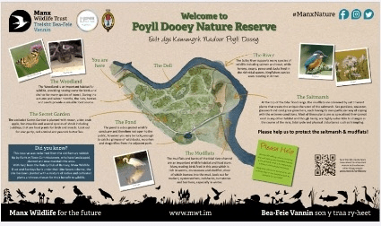
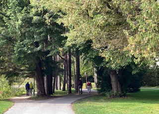
There is a variety of paths through the Nature Reserve, which is a recent creation. It was formerly an old tip, as recently as 1988. It just shows what can be done with a bit of imagination and dedication. It is a small area of only 12 acres but it packs plenty into it. The woodland is still quite scrubby, with the exception of the Secret Garden area that has been specifically planted with a variety of trees. Some parts are protected and therefore inaccessible; imagine, if you were to come back in 50 years I think this will be a very special place.

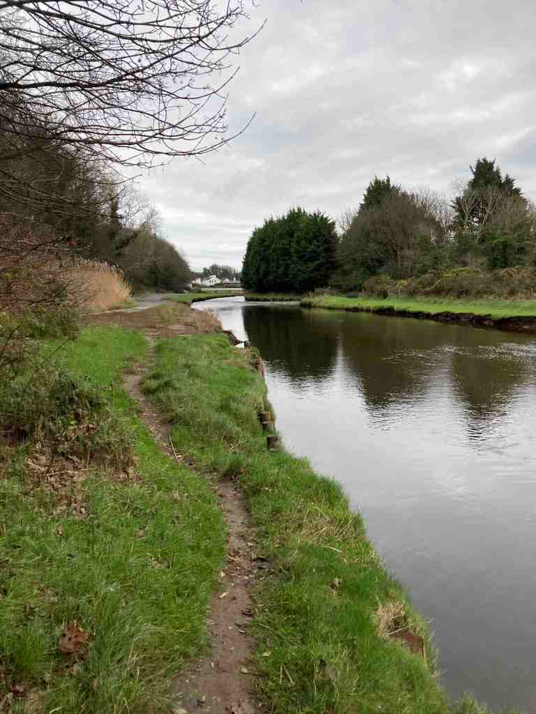
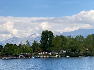
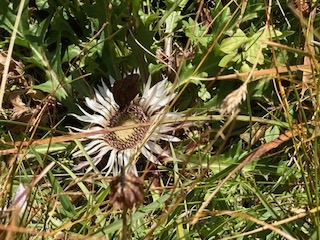
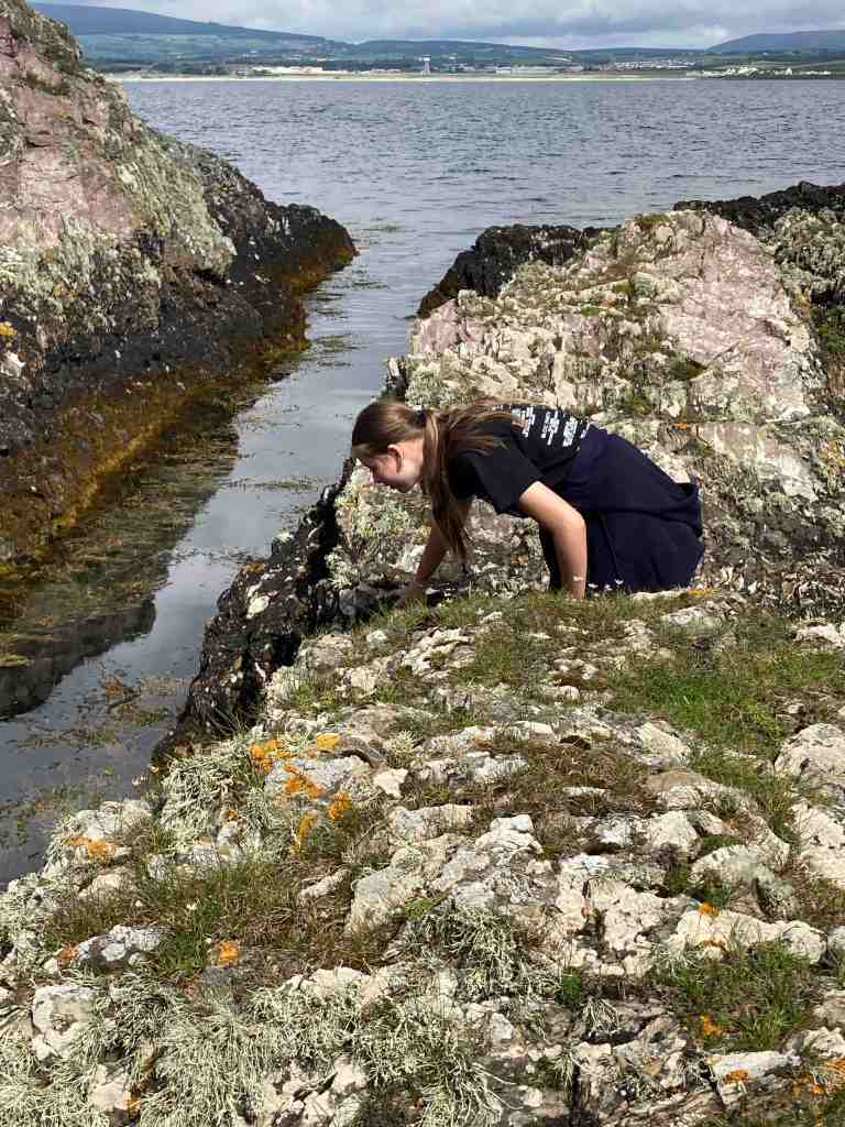
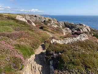
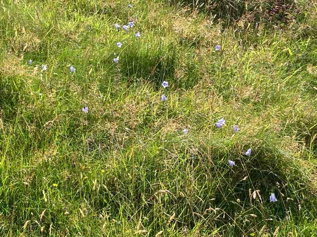
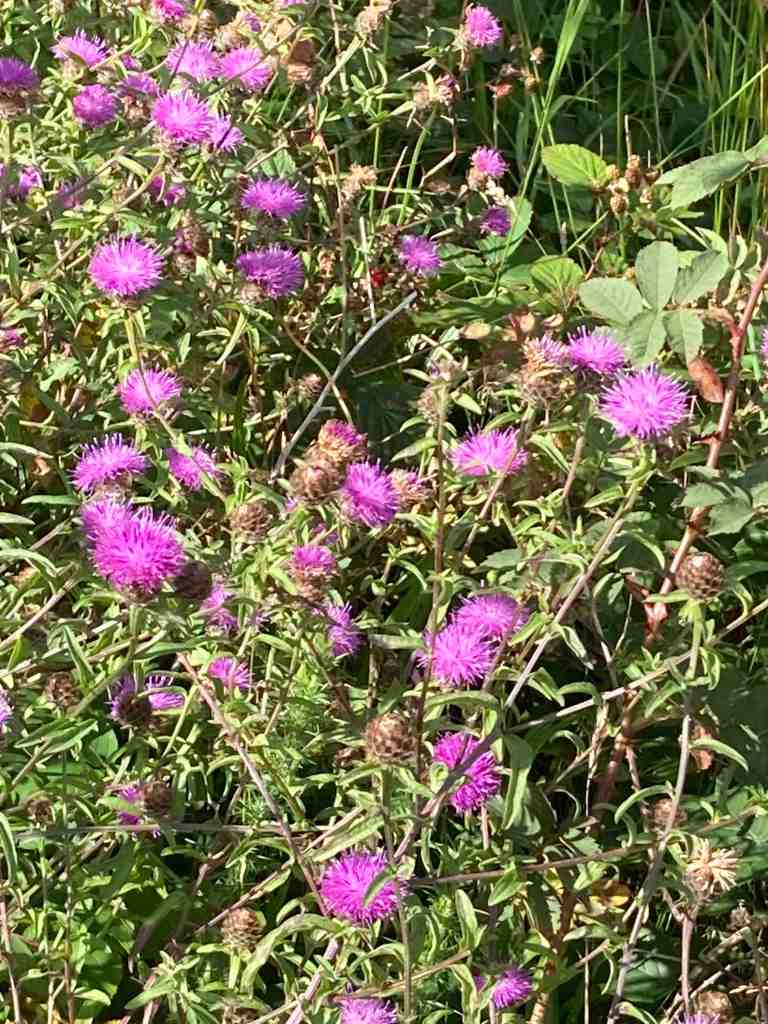
I followed narrow footpaths over the salt marsh so that I could follow the river as much as possible. Please try and avoid walking all over it and keep to the side as much as possible. Dogs are allowed, but better not to let them dig up the area. There is plenty of room for them to be off the leash in the woods themselves. It is not long before it is necessary to go into the woods and you will find yourself at the wooden footbridge, where there is usually a mass of ducks, geese, swans and the like. Today, they sounded just like a load of girls giggling in the playground. They were very funny. In the sheltered areas, especially in winter, you may be lucky enough to spot a kingfisher, a species which is declining on the Isle of Man, so if you do see one, please let the Bird Club know.

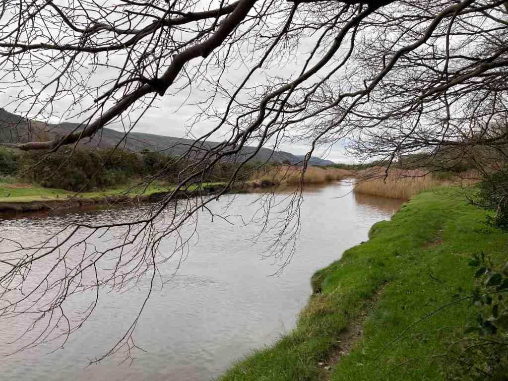
Crossing over the bridge you can walk a short distance westwards to admire the river and distant views; the river may contain trout and salmon as well as all the bird life. Further along is a mass of reeds, where I imagine birds nest or gather material for nests. It is not possible to go further in this direction but it is still worth a look before retracing your steps over the bridge.

It is possible to take a different route back to the start through the woods, going past the impressive 6 bedroomed Poyll Dooey House. This is entirely surrounded and hidden by the nature reserve, and part of the house goes back to the 17th century. If you do an online search you will find photos of the interior and exterior on the deanwood.im website. How the other half live… These buildings comprised one of the original quarterland farmhouses – a quarterland being a unit of farmland, usually arable land. Its boundaries would have extended all the way to the Ramsey to Ballaugh road in ages past.

From here, it is simply a matter of following any path; you cannot go wrong. They all take you back to the railway track one way or another. It is worth visiting this area during the different seasons and noting down what different birds you see and hear, and perhaps bring a picnic in the summer months. And don’t forget to visit Milntown itself – the house and gardens are open most of the year and they serve great lunches and afternoon teas, and the gardens are a delight.

A Circular Walk on South Barrule

Ever a favourite of mine, I never tire of walking up South Barrule. This is really my first venture out since Covid, and I am still struggling a little with chest and sinus problems but I am over the worst. This is a walk I am leading on November 6th for the IOM U3A and looking at the forecast for the next 10 days that expects nothing but rain every day I had to take advantage of a gloriously sunny and relatively warm day to get out and do my recce.

I parked at South Barrule plantation, by the Coffee Cottage, a cafe that is open every day. The car park was very busy with horses and trailers, but I managed to find a spot. The walk starts directly south from the car park. There are numerous tracks through the plantation, so it is important to start on the right one! At the start there is a junction of tracks and you need the track to the right leading uphill; it turns left after a short distance. From there, you follow your nose for some time, keeping right at any junctions, and not veering onto any lesser obvious paths at this stage. The track was quite wet in places, not surprising after all the heavy rain of late, but it is a good wide track, which means you can have a good natter as you are walking along. Continuing on, you will reach a point where the track goes clearly downhill. You can go this way, but I prefer to take the right fork, still a good track, that keeps you higher up and avoids going downhill to go back uphill again. From here you will contour round the southern edge of South Barrule with super views of the south as it all opens up and there are fewer trees. There is also a map board just where the land open up more, which will confirm you are on the right track.

The main path continues on until you join the Bayr Nr Skeddan path. My walk eventally does go off on a side track which then turns into a footpath. This was very wet and muddy today, and if you prefer, you can stay on the main track until you hit the Whisky Run (Bayr ny Skeddan) lower down. My route is more interesting and you remain high up and come very close to where you start the ascent of South Barrule itself. I found that I soon forgot about all the mud as I entered the moorland. The views to the west and south are amazing; you can see the Langness, Castletown, Calf of Man, Cronk Ny Arrey Laa, the Rushen Valley (another of my favourites), Peel and further north all the time you climb up the mountain. I should know by now, having climbed this many, many times, that when you reach the top, you get another surprise as the northern hills come into sight in a spectacular and unexpected way. Maybe I forget because quite often the weather isn’t good enough to see them!

If you haven’t been up South Barrule before, it’s worth taking your time to look for the “Round Table” – nothing to do with King Arthur but a 3500 year old Bronze Age burial mound with its head chopped off. This is a heather covered mound to the left as you start up South Barrule. You can walk around the perimeter of the ancient iron age fort, 22000 sq ft in size, which contains many of the original stones – but imagine it considerably higher. How impressive would that have been. Equally, there are granite stones scattered around, which would have been brought here from one of few areas that contain granite on the island, probably Foxdale in this instance. There are also depressions in the ground, sometimes filled with water, the remnants of roundhouses, where people lived around 500BC. Culture Vannin has an aerial view of the top of the South Barrule, if you look here:

https://culturevannin.im/exploremore/places/south-barrule-hillfort-383989/

Having taken time to enjoy the view and take in its history, we now start the gentle descent, beginning on a clear path northwards. This gets narrower and narrower until eventually, as we have to negotiate a path back to South Barrule plantation, we will be walking on a map bearing and walking over peat, grass and heather (not much gorse here) for about 15 minutes until we reach the boundary fence of the plantation beside the quarry. If you are walking without a compass, you will need good visibility. There is a small mound beside the quarry on the left, and the trees begin just to the right. There is also a sign clearly visible, so head in that direction. There is a rickety stile just to the right of the quarry before the land rises to the right, and the lone tree is a good marker.

Crossing the stile, this leads to the quarry tracks. It is worth a quick detour to have a look at the quarry area itself to see how large it is, then returning to your path, you will see an imposing mound of logs, even larger than when I last went. There is a track leading from these to the right; start to take that track but turn immediately left down a grassy, stony and possibly wet track. Another path will come in from the left, which you ignore. Just a few yards down the track after this junction keep left on the high ground and you will see that a dry path then detours down into the plantation. This is a delightful little path and you can hear the water cascading down the hillside in a mini waterfall, and the area is green and pleasant. It finishes right in front of the Coffee Cottage, so why not stop and have a coffee? To get back to the car park, whilst still in the forest take the footpath on the right through ‘Go Ape” and it brings you out where you started (alternatively walk along the road).

This is a fairly gently walk. The early part through the plantation is mostly flat with a few yards of gentle uphill here and there. The bulk of the ascent is the climb of South Barrule itself, but it is not especially strenuous and it is a fairly short distance to the top; it will take you no more than 30 mins to reach the summit. It is grassy and there are no really steep parts.

Distance: about 5 miles; Ascent total 1040 ft; descent 1079 ft. If you take the lower track avoiding the muddy footpath, this will add another half mile or so on to the walk and about 100-200ft more ascent.

No posts for now – Covid

I haven’t been able to finish writing up my holiday in Austria as I contracted Covid on the way home and I am quite poorly. I tested positive on Saturday night. Once I am feeling better and have caught up on work I will complete the holiday blog. I won’t be walking for the next few weeks either.

I remained covid free for 3.5 yrs and I was bound to get it sometime, so can’t complain. See you all once I am through it.

Austria Day 4: Zell am See

The day had a promising start, with sunshine, after a dramatic storm overnight with thunder and lightning that almost burst a few eardrums. We set off from Sankt Johann (nicely pronounced by the operator at the railway station) for our 45 mins journey to Zell am See. This is a most attractive high level ride for much of its route, meaning you have excellent views of the mountains and valleys. It moves quietly through one valley to another. There is no indication of a lake until you reach it – it comes as something of a delightful surprise. Indeed, if you travel by road, you can avoid seeing it at all!

Zell am See has a calm and warming peacefulness. It is as if the surrounding mountains engulf and protect you. The lake is not huge, just 4 km long and 1 km wide, and 68 metres deep. It is a healthy place and the lake water good enough to drink, if you dare to try it. There is a footpath and a separate cycle path around the lake and plenty of places to stop for refreshments or to simply enjoy the magnificent views. At various points in the path are areas sheltered with trees and other places for children to play, all kinds of sculptures dotted around and water sports in abundance.

We did our own version of a watersport by taking a ride on the boat. This was enjoyable but at the same time unnecessary as you can see everything you want to see from beside the lake. However, the skyline was telling its own story. To the north, with its slightly lower mountains the sky was blue with puffy white clouds. To the south the clouds were grey and gathering and had a sense of foreboding; rain was clearly not too far away. For now though, it was bright if not hot sun, and warm enough to entice one into a lager.

It was then time to explore the town itself, which is fairly small but even so has over 10,000 inhabitants. It also has an ancient history, as far back as the Bronze Age, and it was a trading post in more recent centuries. Learning about its past will have to wait until I have a chance to revisit this area. There are cable cars up to its central mountain, the Schmittenhohe, itself standing impressively at 1965 metres. From here, you are able to see over 30, yes 30 mountains over 3000 metres high, including the Grossglockner that we visited a couple of days ago.

It was at this point that the heavens opened, and they weren’t even kind enough to give us much warning. I went in a shop in the dry and came out to a torrent of water flowing down the street – well, maybe not a torrent but you get my drift. They are clearly used to frequent downpours as the cobbled streets all have drainage channels that work very effectively, which is more than can be said for some inconsiderate drivers who soaked me as they sped past! Time for some shopping – I had needed to buy some new trainers and this was the perfect opportunity, and I found the best shoe shop I have been in for many a year. The lady actually wanted to help me, had some really good knowledge and as a result I am now the owner of a new pair of goretex shoes. She insisted I wear them straight away given the inclement weather, so my shoes and I went to look at the church in the main square, with its 15th century tower. As you look down the side of the church, it feels as if this is the only remnant of a bygone age, being surrounded by more modern buildings, but I suspect there are various gems to be discovered hidden away in the town.

It was then time to make my way to the Bahnhof for the return journey. The waiting room had one last surprise for us – exceedingly comfortable and colourful seating. Well done to the designer – compare this with the uncomfortable slanting metal seats we have in the UK and islands bus stops. Once on the train, I really wanted to see where the lake must spill into the surrounding plains but I didn’t detect any outlet. I have since learnt that the lake used to be much larger, reaching as far as Salzach, and much of the northern end has been drained, although there are still swamp areas in places.

By now the rains were eradicating any fine views of the mountains, but no matter. It is good to see landscapes in all their various moods and colours. Tomorrow, we visit Salzburg and we will have a guided walking tour, and this probably whet the appetite for future visits as I am sure we will not be able to see all we want to see in half a day.

Austria Day 3: Schleier Wasserfall, St Johann in Tyrol

This turned out to be the longest and hardest walk I have done in years. I was expecting it to be 10 miles and about 1600ft of ascent but in reality both were exceeded.

I started out at 8.30am with the intention of finishing the walk between 2-3pm and then taking the Gondola up one or other mountain. It was a warm day and the sun glistened on the river as I walked beside it up to Rettenbach. This lies in a plateau and the surrounding mountains stick out as a fine backdrop every way you turn. The only thing to spoil it at all was the sound of the traffic on the main road.

I reached Rettenbach easily and started looking for the footpaths that would lead uphill. In so doing, I passed a woodturner’s premises with the aptly named business title of Holtzwurm. Outside his premises he displayed some of his wares and fine specimens they were too as you can see in the photo below. Just past his domain was the first waysign to the Schleier Falls and I followed this path a short distance until it turned into a different sign saying Wanderweg, which usually means a contouring path circling an area. Look as I might for the path I wanted and I thought I had found it until this petered out. I made the classic error of not turning back immediately and got myself into real hot water when there was no clear path forward or back, just loads of vegetation and trees. Oops! I managed not to panic, and decided that if I keep the ravine to my right and the sun just to my left, I should ultimately return approximately to where I had started. These navigation skills supported me well, along with some odd black and white posts that I thought must lead somewhere, and after about 40 mins of traipsing aimlessly in the forest I found the original track, and just kept going, even if I was reasonably sure it was not the path I had originally wanted. Phew! I could breathe again.

I eventually I came to a path that did suggest it was going in the right direction and I followed this very successfully, passing lumberjacks clearing some of the forest and an old man resting on a log.

There are many twists and turns and false tracks to avoid on this walk. I did have a landscape map of the footpaths in the area but it wasn’t accurate. Some paths are unmarked on the ground, other paths are named but do not appear on the map, so whether you find your route successfully is rather hit and miss for the tourist. It is all heavily wooded, with no views as you make your way uphill. That is not to say it is unattractive, but it is unrelenting. There are also sections with steep drops and narrow paths, so not for the faint hearted.

By luck rather than judgement I seemed to find myself on the track I had intended, but what I didn’t know was where it would lead. There is an area called Debils Ofen, which I assume means Devil’s Oven, which is a series of caverns at the base of a massive rockface. The footpath actually passes through these, so I imagine when deluges come in winter this route will be entirely cut off. There were tree trunks and branches strewn along its course, evidence of previous activity.

Beyond this, the path makes its way annoying downhill, when you know that you have to go uphill, and sure enough just when you can hear the rush of water indicating you are getting near the falls, the path diverts uphill. There is a small summit and you can feel open space beyond, and I could hear voices chattering and laughing, so my sense of excitement grew. Be careful though not to get too excited as the path down to the base of the falls is rocky, with some large, and some small stones. Once your eyes adjust you can see the water cascading over the overhanging edge, looking rather like a shower curtain. There are other smaller falls, which no doubt become raging bulls in winter. I stopped temporarily under once such fall and washed my fevered brow. It was another very hot day, and for once I had felt the effects of the high altitude, so I took care to take my time, monitor my breathing and get back on an even keel before continuing.

It is much more interesting than it appears here in the photos and it is a very restful place.

The path down is a great deal easier than the path up, mostly on a fairly wide track. At the start, it is clear that my way down was most people’s way up as the stones were shiny and it would be easy to slip. Again, there are few views on the way down. The never ending tree lines are relieved in places by the children’s activity areas, which have been very cleverly designed.

Once back on level ground I decided to take the easiest road route back to St Johann. Having already done 11 miles, I didn’t want any false turns now and wanted to get back.

My Garmin watch recorded my route, which bears no resemblance at all to the paths on the tourist map I was given. I would recommend buying the Austrian equivalent of one of our OS maps or visiting the tourist information to get an up to date map and guide for any walk you intend to do. And make allowances for the high altitude, as it is relentlessly uphill for 7 miles.

Distance: 14 miles; Ascent 1988 ft; Descent 1949ft; Minimum Elevation 2224 ft; Maximum Elevation 3817 ft.

Austria Day 2 – Grossglockner

This was not a walking day, but an exceptional day for views as the coach took us higher and higher to the very apex of Austria – the Grossglockner. The images speak for themselves, and although I could name ridges and mountains I doubt if you would care much. The glaciers have retreated enormously since I was last there in the 1960s. I remember having a snowball fight with my peers in this location, but there was not a drop of snow to be seen below the glacier level this year. There are numerous notice boards dotted around the visitor sites, explaining that the process of deglaciation is not uncommon in the vicinity if you look back over the aeons. Nonetheless the rate of change is quite remarkable as you will see from the photos.

and from former days:

After this, we travelled to the beautiful alpine village of Heilingenblut. This traditional village has an iconic church and tremendous views down the valley, but little else for the passing tourist unless you have time in your hands, in which case you could visit the waterfalls or amble along the valley. The church graveyard was beautifully maintained with flowers in every single grave and with photos of the departed in each one, enjoying the afterlife as in life, with the glacier in the background.

On this journey, I found it quite remarkable that where the glaciers would have combined to be a great force to be reckoned with, where the dams now exist across their exit down the mountain, there is only the merest sliver of land through which all the water would have had to travel when the snow melted. I imagine this must have caused catastrophic floods during its ancient history.

There were also some lovely alpine flowers including masses of purple gentian and a hapless butterfly feeding on a plant yet to be named.

Tomorrow I am planning a walk on my own again, after a trip up the Gondola to the top of the local mountain.

Austria – Day 1: Eifersbacher Falls and St Johann

You were right. Even though this is a Great Rail holiday I would have to do my own walks. A holiday is not a holiday without stretching the legs, for me at least. To be fair, today was the ‘off’ day. Looking at a map I noticed that the Eifersbachers Falls were within walking distance of the hotel in St. Johann.

The walk begins with a stroll through the very attractive town of St Johann. I need time to explore this when everything is open, as today was Sunday. Crossing the bridge, the path runs alongside the river for about a mile or so. It is very open here, so you get the full effect of the sun. Just as you pass the airport, well not so much an airport as an aerodrome for small aircraft, you cross back over the bridge to join the main road. Don’t take the side road as this will take you down a blind alley.

Follow the road to the left for about 200 hundred metres, then the path is shown on the yellow waysign to the right. This is a delightful path, leading through the forest, with not too strenuous a gradient, until you reach The Eifersbacher Falls. These are tremendous with two or three separate falls, even at this time of year when there has been little rain. There is clearly a separate waterfall in winter too, but this was dried up now. You do need to be prepared for a very steep uphill section of about 300-400ft, way above the top of the waterfall. There is no alternative route unless you retrace your steps. However, the climb is worth it. Once at the top of this path, take a left, again traversing uphill, until you reach the Hornblicksee. This is a lovely lake, with loads of places to sit to enjoy the view all the way down the valley and into the surrounding hills.

There is a choice of paths from here. Very high, high or low. I took the high path that goes across the meadows underneath the cable car and ski runs down to a pension called Pointenhof. The views from here are ‘disappointing’ compared with previous views, but the beer was very welcome. Ironically, the hotel had arranged breakfast for us here earlier in the day, and that too was disappointing.

There aren’t many routes down to St Johann from here. I followed the main road downhill most of the way, as the one place I had thought of a change of direction was not marked as a footpath off the road. Instead, a few bends before you reach the cable car station is the most delightful walk through a wood that comes up right next to the cable car station. It has play things for children, and plenty of attractive seating area, so worth a visit on its own. From here, it was just a short walk back to the Hotel Park, and a nice shower after the very hot day.

Distance: 7.5 miles; Ascent 1650ft ; descent 1365 ft. Minimum elevation 2,234 ft; Maximum elevation 3598 ft.

Langness

You know how writers and walkers all say that no two days are the same at the same location, well this is certainly true of this walk. Last week I was here with my grand-daughter, Emily, and the tide was satisfyingly in; yesterday, the tide was interestingly out, carving out a completely different landscape.

I was doing a recce for a walk from Castletown. If this is a walk you are planning to do, don’t take your car into the main streets and car parks of Castletown as there is only 2 hr parking. Instead, take the road to Derbyhaven and park either along the prom, or in one of the free car parks on just the other side of Hango Hill (above), opposite King William’s College. I had taken the train, so was walking from the station. However, I would recommend this walk to start at the first car park after Hango Hill. It is only a short distance back to explore this ancient monument before retracing your steps to start the walk.

As you can see from the photographs, if the tide is out, you can walk along the beach. Even so, there is a grassy footpath from the car park which is good to follow. It bypasses Derbyhaven and the start of the golf course, making a more interesting start to the walk. There are a few pebbles on the path as these are constantly thrown up by the sea, but it is easy walking. Eventually you reach the small lane and you are obliged to walk along this most of its way, but no more than half a mile or so. It is very quiet and there is lots of vegetation, birds and butterflies to look out for. You will pass the stone bird water trough commemorating one of the island’s principal ornithologists and you will very likely see Egrets or Herons perching on the rocks around here.

A little further along is the main car park for Langness and it is here where you enter the reserve itself, the paths taking you round the very tip of Langness. To your right, you will see strange rocks of conglomerate, arches looking as if they will collapse at any moment and notice areas of unconformity where millenia of rocks have miraculously disappeared. I am no geologist, but this area is described in many of our local books if you wish to find out more. If you are feeling adventurous you can scramble about on the rocks to the west as they dip and turn, but take care, not just of your footing, but make sure that you don’t get cut off by the tide, unless you want to join the shags and cormorants on the very last morsel of rock remaining at high tide!

The path takes you around the lighthouse, where you can take a look at the old foghorn. This is the most southerly point on Langness. It is a good stopping point for lunch, which is exactly what I did yesterday. As I sat muching away I heard the lamenting sound of a seal and got out my opera glasses (yes I know, proper binoculars would be so much better, but these fit into a side pocket). There they were, some lumbering about on the rocks, others swimming in the sea. As I continued on the eastern side of Langness there were even more seals. They do seem very big this year.

The eastern side has a different feel to the western side. The terrain is soft underfoot with more varied rocks landward and more gullies with sharp upright rocks on the seaward side. There is gorse and heather setting off the herring tower, and as you walk the mile or so towards the golf clubhouse you get amazing views of the range of hills all the way from Bradda Head to North Barrule. The path eventually goes onto the golf course itself, so keep towards the edge. There is plenty of room to walk beside the course rather than on it. However, to get to the clubhouse you do need to cross it for about 50 yards, so watch out for flying balls.

The golf club welcome visitors and the food is always tremendous so don’t be shy about calling in. The rest of the walk takes you around the glorious bay of Derbyhaven and then back along the road for about half a mile to the car park. There are few places like this on our island, and I thoroughly recommend it for a morning walk, a lunchtime walk, or an afternoon walk. Keep in mind, it can be very blowy as it is mostly flat with just a few humps and hollows. You will also be walking in a southerly direction so the sun can be a problem on the odd occasion it shows itself.

The total length of the walk from the Hango Hill car park is about 5 miles.

Kerroodhoo Plantation, Barrane, Eary Cushlin

This is one of my favourite walks. It has such variety and breath-taking views. We began by walking through the Kerroodhoo plantation, which is a very pleasant path, keeping ourselves in the dappled shade as we made our way downhill. There were a couple of obstacles, such as steeply dropping paths and streams to cross but nothing too daunting. Towards the bottom end of the plantation a new woodland of deciduous trees is being created whilst the everygreen Norway Spruces are being removed as part of a community measure to improve the environment. The idea is to create more diversity and provide better habitats for three b’s – birds, bees and butterflies. New trees being planted include Birch, Oak, Alder, Hazel and Ash, all native trees that have been grown locally. It will be interesting to watch this develop in future years.

Reaching Barrane and its chattering ford, we soon found ourselves crossing over meadows strewn with flowers to greet the footpath on the coast above Whitesands. Niarbyl lies in the distance and the white cafe stands aloft, although it has been closed as a cafe for a while and no-one knows when it is to reopen. The path southwards is not seemingly part of the coastal footpath route but is perfectly accessible and provides a super lunch spot where you can sit on rocks, watch the butterflies and listen to the birds circling overhead, all the time gazing wistfully into the distance at the towering cliffs of the southwestern part of the island.

After lunch we followed a grassy but uneven track with overgrown bracken for the next mile of so. In places, it is a little exposed as the cliffs fall away into the sea. We met a lady and her dog from Arnside who had never visited the island but was now smitten by it, as we all are. It was a little tricky crossing the swollen stream at Glion Mooar, and then we had our main uphill section of 300ft or so. We took it steadily, stopping to look at the wild flowers, or to admire the beautiful common blue butterflies that were darting here and there, or just stopping when we wanted a rest.

When we reached Eary Cushlin house a few of us were pleased to remove ourselves from that environment as we were being bitten by midges and such like. It was then a flat walk along the track back to the cars, but not before we stopped to admire the glorious heather on the Dalby Nature Reserve. We had had a wonderful day and enjoyed each other’s company. Distance: 4.25 miles, 935ft of ascent and descent.

Lag Ny Keeilley, Eary Cushlin

I ventured out on the first sunny day I could find to do a short recce of an optional extra I was intending to offer on our next U3A walk. Lag Ny Keeilley, the home of a long gone hermit was my destination, and I was starting from the ‘car park’ at Cronk Ny Arrey Laa. I don’t propose to give you a full breakdown of this walk as I shall write it up another time, with a better map and possibly an alternative end-section, but most of this walk is absolutely stunning, especially if you did it as I did, first thing in the morning, before other people have got out of bed.

Having said that, as I started walking down the lane, I bumped into a man with his grandson picking bilberries. There are heaps of bilberries on this island. I did pick a few myself just to check what they were like. I walked down until I reached the footpath sign leading into the Dalby Nature Reserve, only I turned left instead up and over a stile onto the moorland on the lower edge of Cronk Ny Arrey Laa. The light was wonderful and the wild flowers were in abundance, making this a joyous walk. I walked alongside the wall, slightly uphill, until I reached the path leading down from Cronk Ny Arrey Laa, and followed that to Eary Cushlin. This path is becoming worn in places so do take care.

The path to Lag ny Keilley goes to the left in a southerly direction skirting along the bottom seaward edge of Cronk Ny Arrey Laa. Ignore the footpath sign to the right unless you want to visit the waterfall and have a steep climb back up the hill! Our path continues for about 3/4 mile hugging the coastline. It is not particularly exposed but neither is it a particularly easy path. You need to be sure-footed as it is uneven in a number of places and there are gaps in the path on the seaward side, so you may lose your poles if you are not careful. But, it is passable with care, and if you do trip you will get a soft landing :-). It is also very wet in places, made worse by the constant rain we have had recently. There is a bench if you want to stop and enjoy the views, which are spectacular. I sent a Whatsapp to my children with a couple of photos, saying that people go on holiday to get views like these, and here they are on my doorstep.

There is also one rather large boulder you have to navigate, but otherwise it is a narrow packhorse track, going steadily downhill. Before you reach Lag Ny Keeilley, look out for the Holy Well, which no doubt kept the hermit going with a constant supply of fresh water. I didn’t go down to the site itself, but I did take a photo. It looks rather uninspiring from a distance, but it is interesting when you get there, and imagine the life that was lived here, and the visitors it has seen. You can learn more about the site here : https://culturevannin.im/exploremore/places/lag-ny-keeilley-717214/ and here: http://early-med.archeurope.com/british-isles/the-celtic-church/lag-ny-keeilley/

It is a steady climb back to Eary Cushlin. The remaining section is on a stony road up the hill. Altogether this was a 4 mile walk, with 1000ft of ascent, which completely surprises me. I have checked the ascent on a couple of maps and it appears to be correct, but it is not at all difficult.

I shall not include this on my next U3A walk but instead I shall offer it as a separate walk sometime in the future, and maybe include Dalby Nature Reserve which will make it an even more interesting walk.

Below are some examples of the uneven path:

Update: Monday 7th August – found a tick embedded in my leg this morning, despite being fully covered from head to foot during yesterday’s walk. Am awaiting advice from dr as previously I became very ill following a tick bite. So, do be careful if out around bracken this summer. These tiny pesky creatures sit atop grasses and such like looking for passing prey. If you do find one on you, use a tick remover and seek advice sooner rather than later.