
It is a while since I have been out for a ‘proper’ walk, and today, I wasn’t really in the mood for one either. I had just been asked to lead a walk for the U3A in February, so thought I would use the opportunity to spark myself into action. I had already been thinking of doing a walk from Salters Lane, as I shan’t be living in this particular location for much longer, so I donned by hats, boots, scarf and anything else to keep out the cold air and ventured out. I took the car to the top of the hill where there is some parking next to three or four footpath signs. Take care where you park up here, so as not to block farm vehicles.
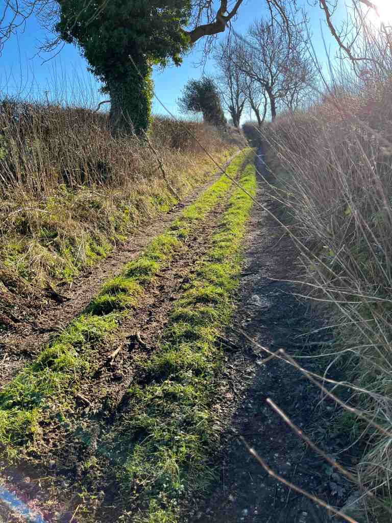


I started up the road for a short distance before turning left onto a footpath. This was a perfectly good path, that joined another and went between the hedgerows, affording lovely views of the surrounding countryside. It continues for some distance before dropping down into Bonsall. On its descent is becomes less attractive, being muddy and also turning into a stream for about 500 metres. There are alternative paths you can take and remain higher up for longer if you so choose. My path joined a back street in Bonsall, and then diverged from this lane to go behind the Croft Farm – this is not well signposted, so you have to trust your map. It is also very muddy and wet on this section, not just around the farm but on the sloping fields, which have been churned up by the hooves of many cattle. You can expect to get very muddy boots and to do a bit of squelching here and there. At a certain point, there is a meeting of footpaths according to the map, but these are not apparent on the ground. There is a small stream to jump across before making your way back up the hill past the pond back onto Salters Lane. At this point, you will have walked barely 2 miles, but it will feel like more because of the conditions.


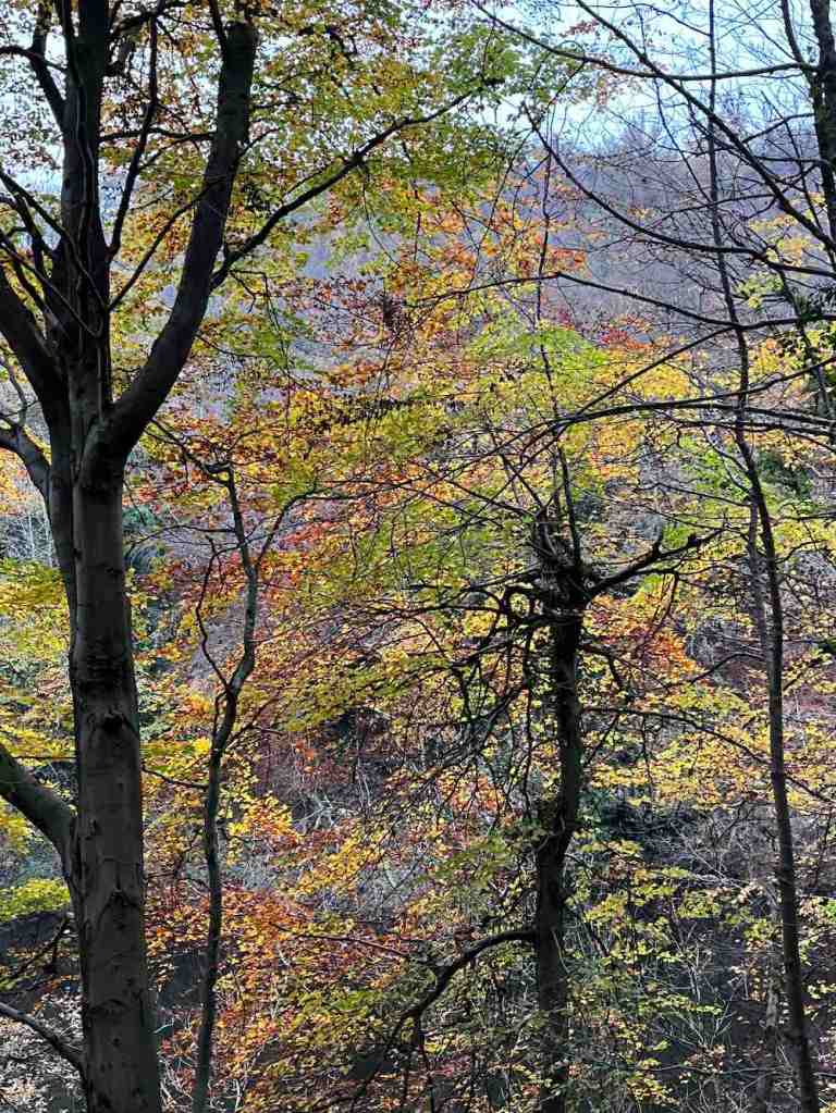
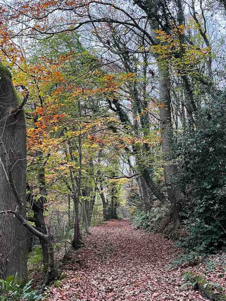
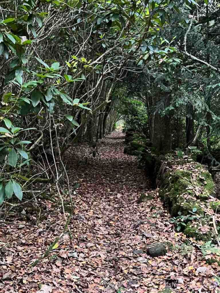
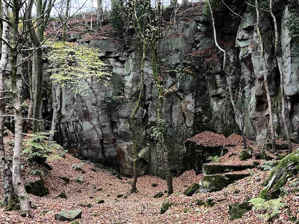
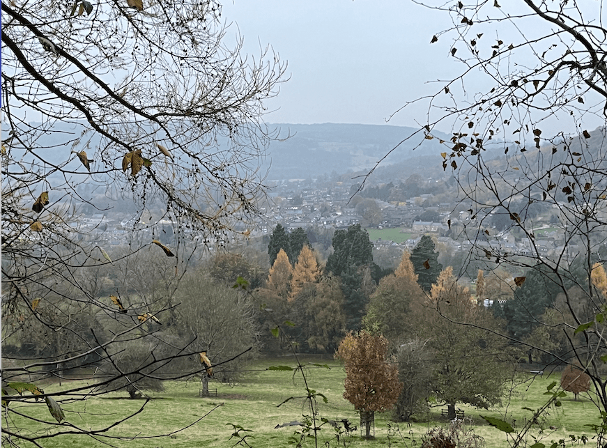
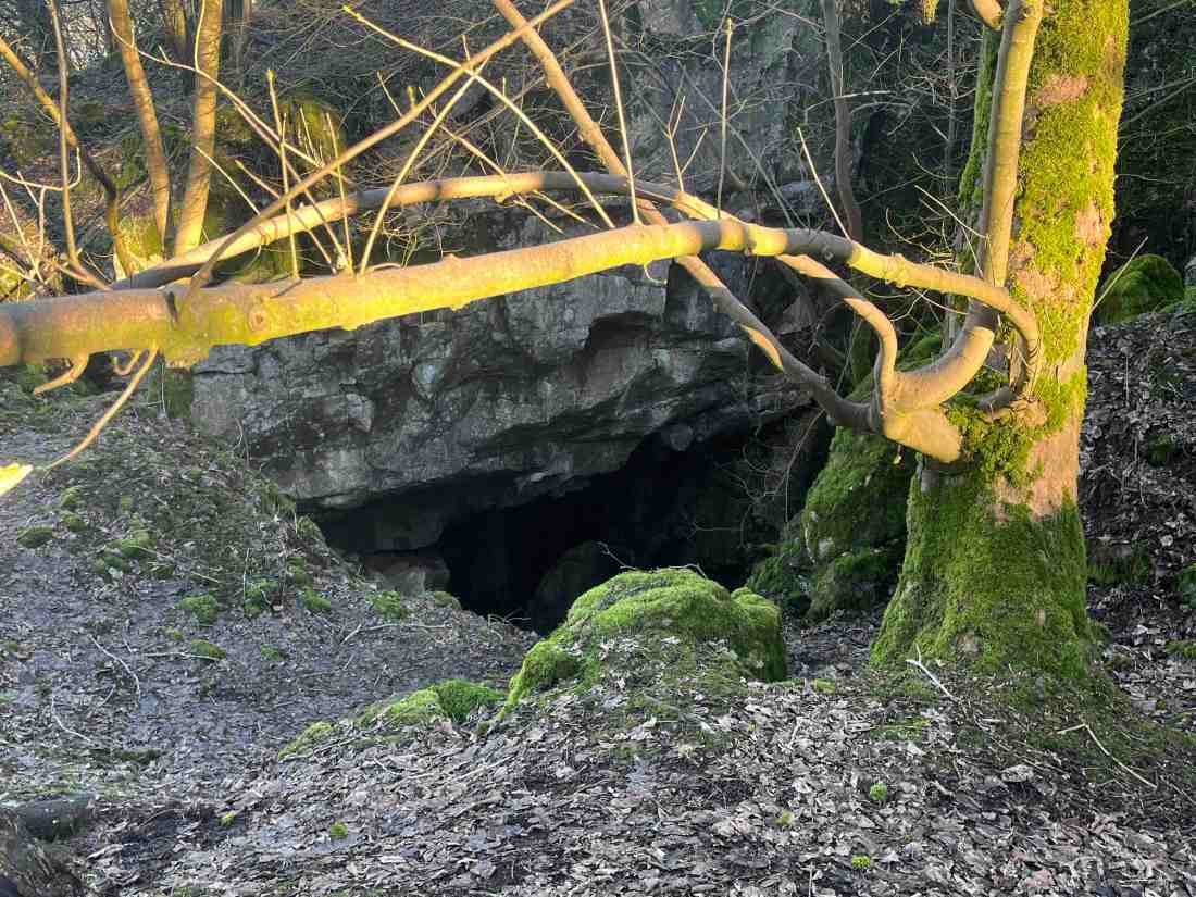
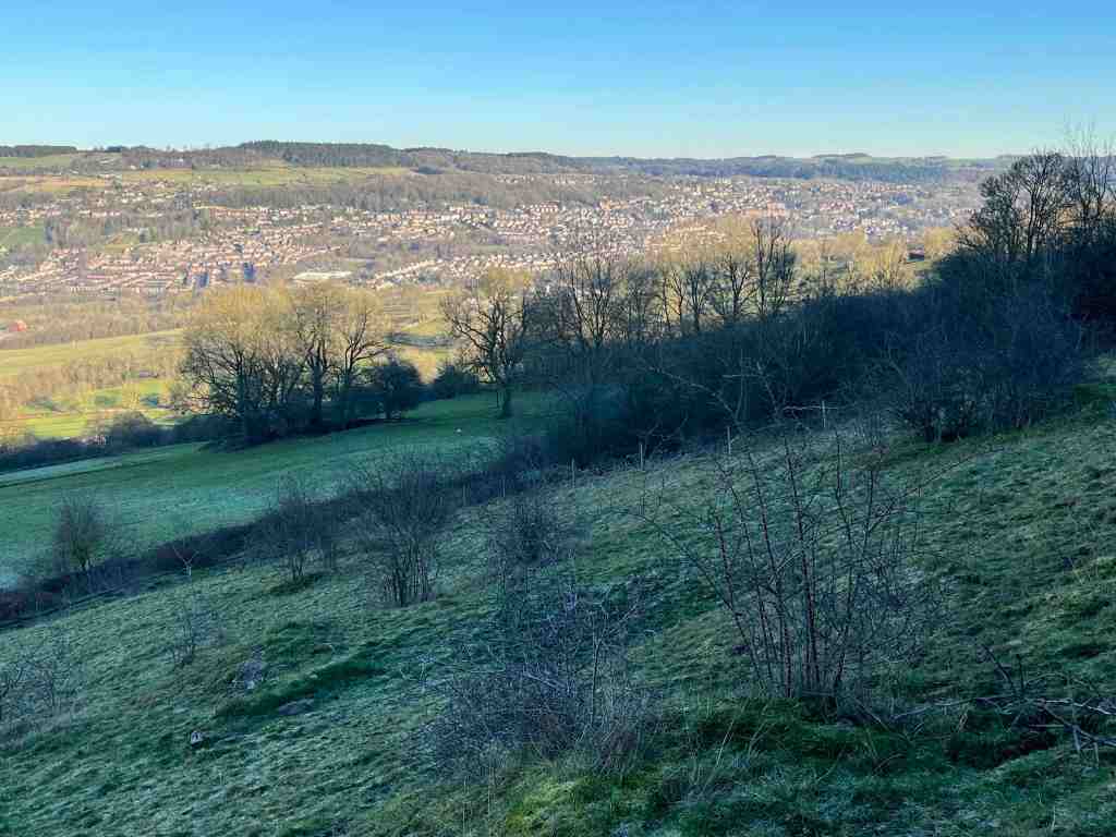
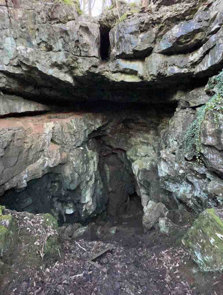
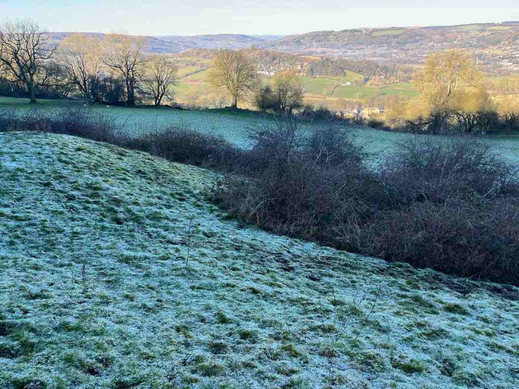
You can choose at this point whether to continue along the road back to the car, or to do as I did, and go into the woods on the other side of the road. There is a lot to gain by doing so, but keep in mind, that if you go downhill you will have to come back uphill again at some point. I really enjoyed the woods, and in particular all the different rock formations, presumably created by mining activity. I began by going fairly steeply downhill through Jughole Wood, with its attendant formations, then taking a left on the level towards Leaward Cottage, before returning uphill through Lea Wood. The views of the valley are tremendous from here.


I completed the short distance back to the car along the road. There are many different variations that you can do of this walk, and I am sure the different seasons will dictate which routes are best to do when. Needless to say, I do not think this is a particularly enjoyable walk for a group of older people at this time of year, but nice enough if walking on one’s own or with a friend.


Distance: 2.75 miles Total Ascent: 492 ft; Total Descent: 535 ft