I was on my way to a painting weekend in Thorpe and what could possibly be more wonderful than spending the early part of the day walking around this lovely countryside.
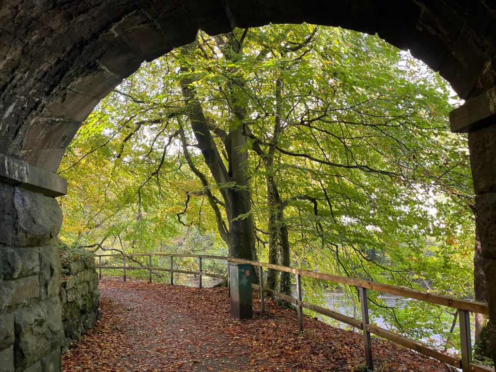
I parked the car at Thorpe Station ( free parking with my High Peaks Annual Pass) and began walking along the High Peaks Trail to Tissington. This is another former railway track and despite its name it is not particularly high, and on this section of the route it is not very interesting. It leads to paths around Tissington Estate which may be of interest to some.


At the former Tissington station there is a cafe with seating, boldly stating on its boards that it sells excellent plum tart. The cafe owner was very friendly and offered my various suggestions as to where to walk, and suggestions for another day. Not being able to resist the offer of an excellent tart, I succumbed to tasting this delicacy and found it to be truly…. excellent.


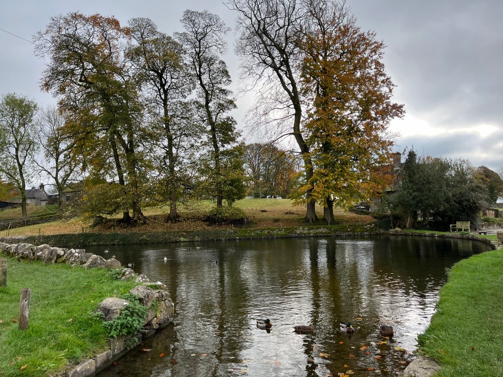
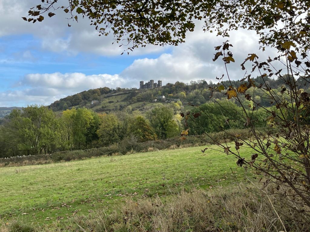
The village of Tissington is delightful with housing centred around the village green and pond. I continued past the stately Tissington Hall, past the church with its stunted spire. I walked along this lane until the main road. I did have another plan, but decided it might make the walk too lengthy. The walk north in the road is only for a short distance before crossing over towards Sharplow Farm. The route is then uphill over farmland and then immediately downhill to Gaglane Farm. This is a really quiet part of the Peak District and I didn’t see a soul. A short walk up the road to Standlow and I took the angled path leading to Nabs View.


It blew a hooley at this point, all the time I was on higher ground, necessitating me donning my cagoule. Even so, it was delightful, with massive views in all directions. At one point, a Royal Mail van passed me leaving Hanson Farm and it so reminded me of Postman Pat. All it needed was for Jess to be hanging out of one of the windows. Be aware that at Hanson Farm the path skirts around it to the left beside the cattle grid. The footpath sign was pointing towards the farm so I followed it to my detriment, as the farmyard was full of slurry. But, I did see lots of cows and tractors which was a bonus. If you find yourself like me going the wrong way, there is a gate, and you will have to negotiate A LOT of mud.


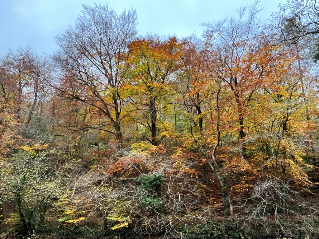
Very soon past the quagmire, my path turned downhill to the right, into woodland, which was very beautiful. Autumn has mostly shed its leaves now, so there was little colour, but the contours and shapes were interesting. What was less so was the footpath, which was full of small stones covered with leaves and slime, making it very tricky to step safely. This continues for about a kilometre and was not very pleasant. It would be much easier walking that route uphill.


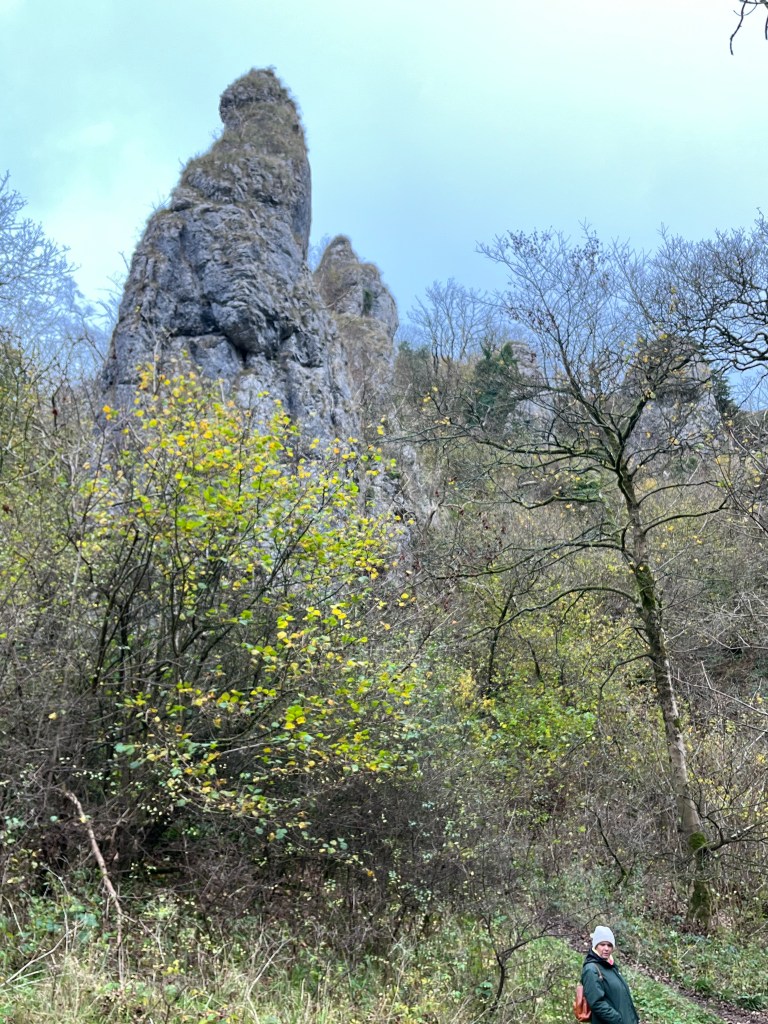
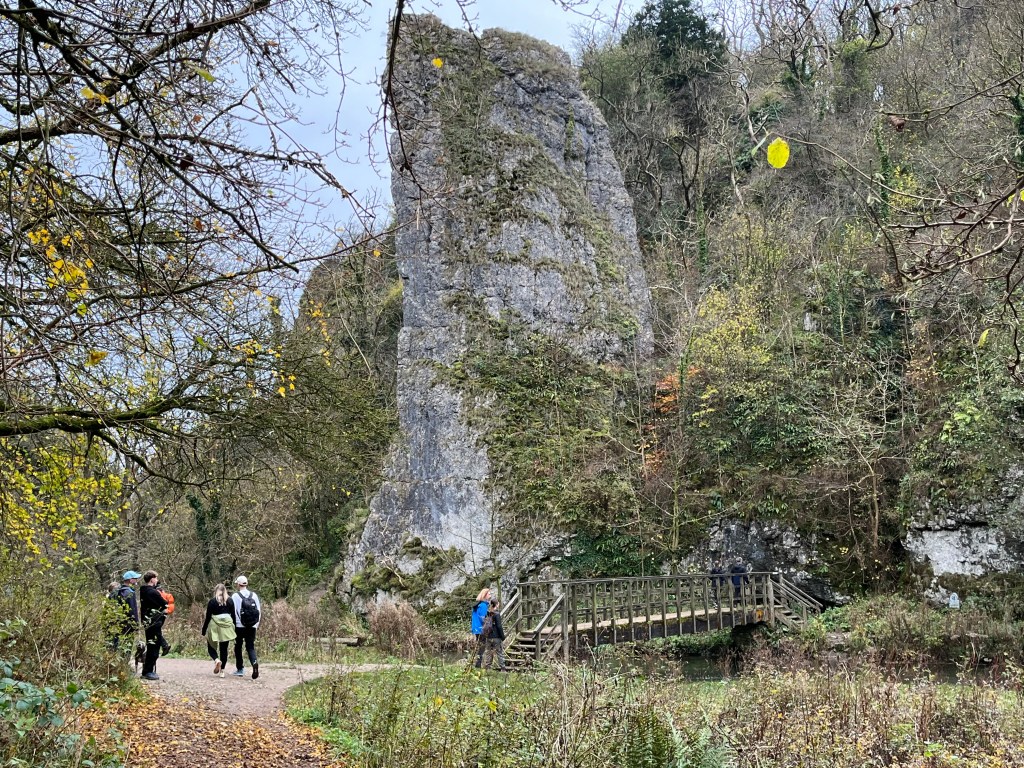
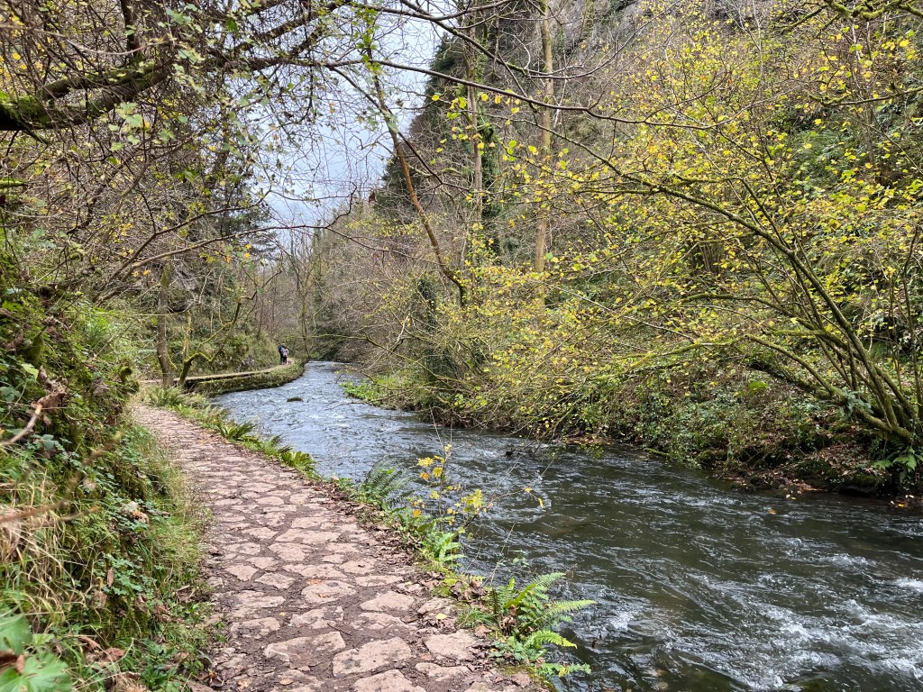
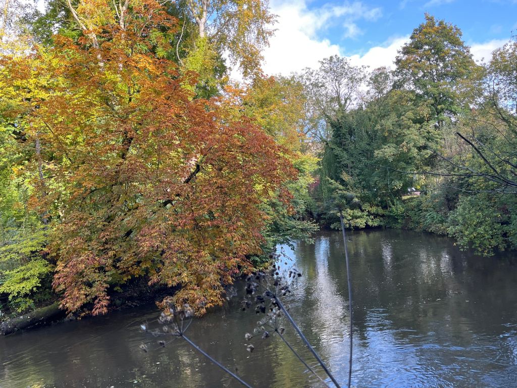
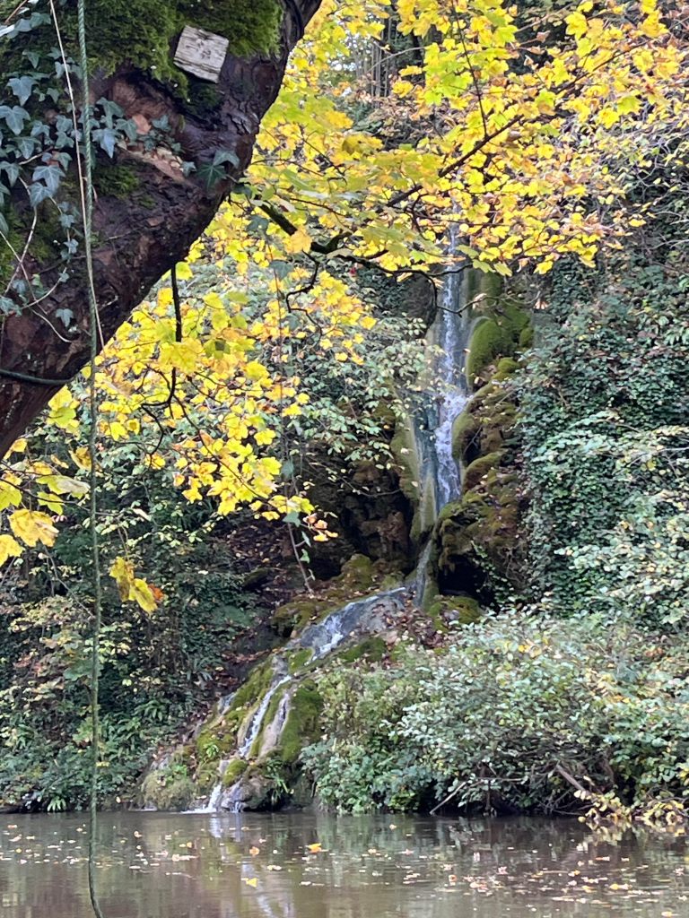
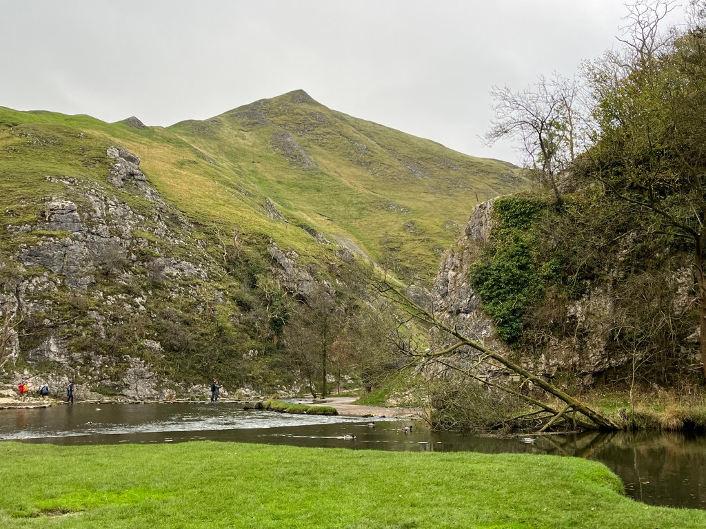
Having safely reached the basin beside the river at Dove Holes, it was lovely to walk on an even path, listening to the sound of the water as I walked along, admiring the stone structures and the caves that have formed in the limestone. The footpath kids you that it is about a mile to the stepping stones, when in reality it is closer to two, but well worth the wait. I had a brief stop here, before completing my walk up grassy Lin Dale, going past Thorpe Cloud on the right, Hampton Hill to the left and the HF house a little further on. I veered around the back of the house up to a lane leading directly to Thorpe and the station. Incidentally if going up Lin Dale the path is through the little gate by the stepping stones, not the Thorpe Cloud path.

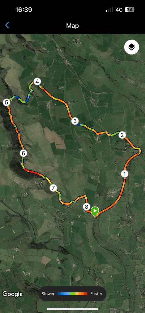
Distance: 8.3 miles; Ascent 1119 ft; Descent 1296ft; Total time taken 3 hr 40 mins; walking time 2hrs 45 mins.